
Headed out this holiday season to visit family in my home state of Indiana. While there I was hoping to get down and hike a bit of the Knobstone Trail. I have heard this trail is used to train for the AT and as an AT section hiker I wanted to check it out to see how it measured up!
Well this worked out perfectly as my nephew, Will, was looking to complete a 20 mile hike for a boy scout badge! Wait…what? 20 miles??? This was a little unnerving to say the least. My highest mileage day so far is 15 miles and that was on the AT in PA this summer when it didn’t get dark until 8:30 PM. This was going to be a challenge! Little did I know how true those words were…
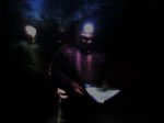
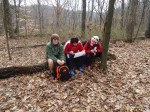
My sister Rowena and her friend Emily planned on doing the first 5 miles with us. The rest of us, nephews Will and Arthur, niece Isabella, and three other scouts planned on doing the 20 miles. We set out on what was to be an absolutely beautiful December day. The temps were supposed to rise to the high 40s or low 50s. It was dark when we got to the Oxley Trail head so we donned head lamps until it got light enough to see the trail.
-

- Oxley Trailhead
-
- Base support-My brother Albie
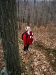
-
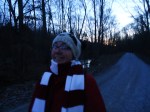
- Niece “NoBendBarbie”
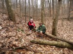
-
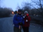
- BoobOnARock & NoBendBarbie
The hike started with a short walk down a gravel road to the trail head. It is across the road from a small farm with a very vocal dog and a couple of curious horses. The trail shoots off to the left and up a steep hill to the ridge.
-

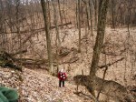
- Rowena and NoBendBarbie
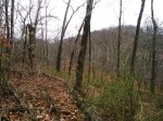
-
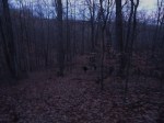
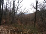
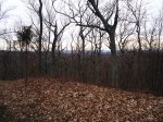
- Hilly Southern Indiana
The sun was just beginning to rise as we made the ridge. Gorgeous!
-

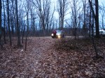
- The Scouts
-

- Sunrise
The trail heads to the right and along the ridge for a bit. Watch for a change in direction marked by the double white blaze in about a quarter to half a mile. The trail makes a hairpin turn to the left and it is not that obvious as there is an unmarked trail that goes straight ahead! The Scouts were ahead of us at this point, but NoBendBarbie and myself waited for Rowena and Emily to make sure they made the turn and didn’t get accidently off the trail…very easy to do at this point. After the hairpin turn, the trail continues in easy fashion along the ridge for a bit before turning to the right down into the first hollow.
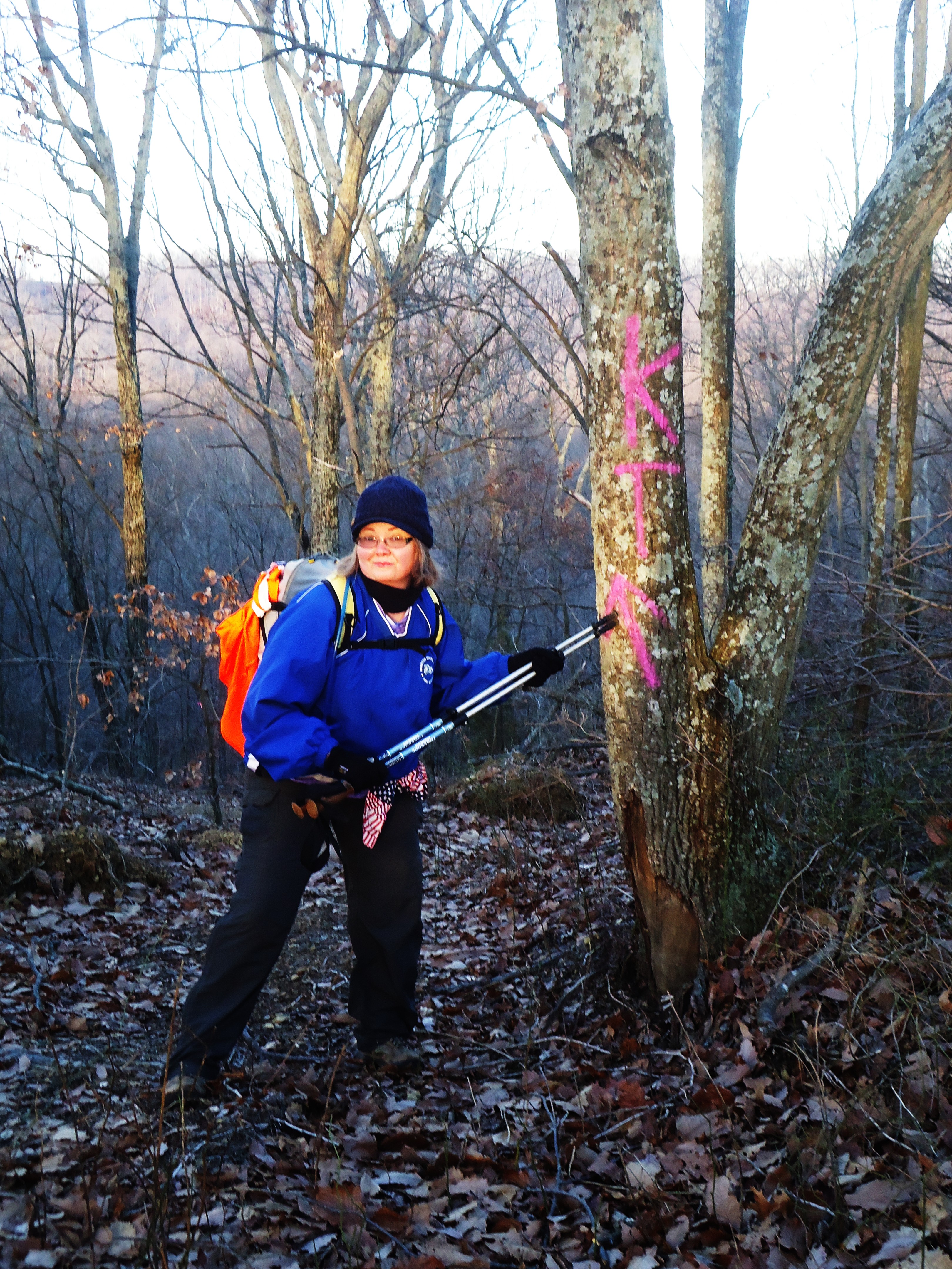
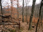
 To be followed by a steep climb to the next ridge. So far so good! We made the next ridge and started looking for white blazes. The trail goes both left and right at the top of the hill, so an obvious white blaze would be helpful! Finally, we just made a decision to head to the left. Looking behind me I saw a pink KT painted on the tree. Don’t know if this was painted by a trail volunteer or trail renegade…and do not care…just glad it was there! Inconsistent trail markings continued to challenge us throughout the hike!
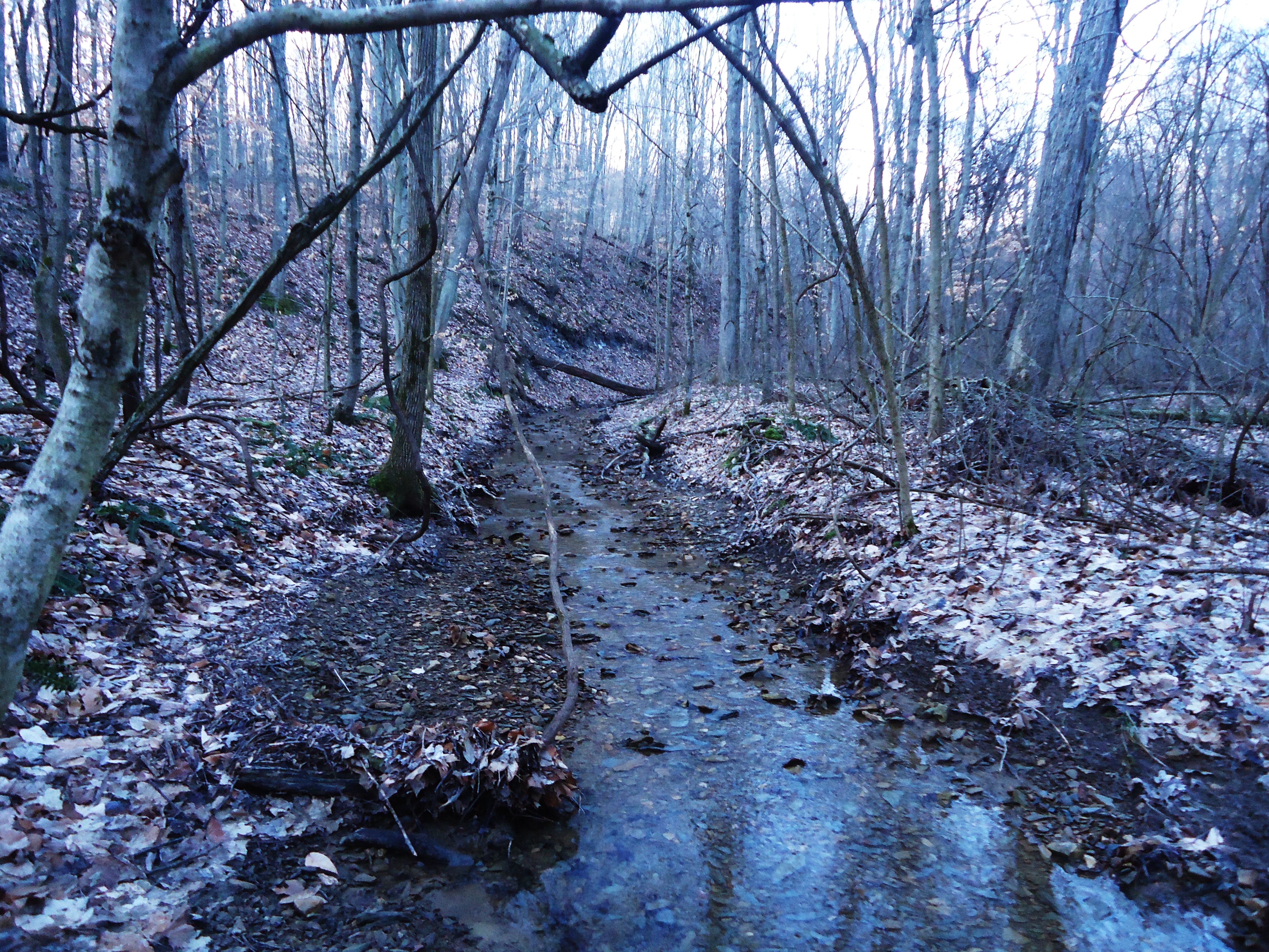
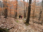
 The trail continues in this rolling fashion. Down steeply to a hollow, up steeply to a ridge for most of the hike. So on we stomped! Up, down, look for the white blaze…down, up, look for a blaze.


We started at mile 37. Supposedly the trail has mile markers every mile but the first one we saw was at mile 35. Soon afterwards we crossed Hwy 56.


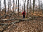
This was turning out to be quite a trek! After old 56, we hiked up to a ridge and came out at the power lines. Uh…okay, where did the trail go? We saw several deer paths, but no path was marked with a blaze. We spread out and finally found it. Head to the right across the power lines to find the trail! Soon there will a fork in the trail. Either way you will end up on the right trail…we didn’t know this. NoBendBarbie took the branch to the right and I took the left. NoBendBarbie saw a blaze first so I bushwhacked over to her trail…then found out a bit later I could’ve just stayed on the branch I was on and ended up in the same place! Soon we found ourselves in another hollow…I had now lost count on how many ridges we had climbed over.
-

- Up!
-

- Crossing a creek? Tricky climbing out!
-

- NoBendBarbie on her way up the creek bank
-

- And down we go again!
-

- Go catty corner to the right at the power lines
-
- Powerlines trail signage
-

- and down to another creek…a muddy climb out of this one!
Just short of the Elk Creek trailhead we met up with my brother Albie who was acting as base support. We stopped and chatted a bit. He informed NoBendBarbie and I that the Scouts were about 54 minutes ahead of us. It was 11 AM. We had been hiking for about 3.5 hours and done about 5 miles…yeah, not going to make 20 today…but would complete to Leota. We hiked on and found an ice cube of a log to sit on for lunch break. We felt pretty happy after peanut butter and jelly sandwiches, clementines and chocolate and headed for Leota with renewed vigor!
-
- Road on ridge just before Elk Creek trailhead
-

- NoBendBarbie looking cheery after PB&J!
Oh hallelujah! The trail stayed so nice and relatively flat as it wound its way around the lake! Beautiful! As we rounded a bend in the trail we happened to notice a double white blaze and started praying that the trail was NOT going to climb to the top of the knob on our right! Our prayers were answered as we began to descend and continued to round the lake before climbing the ridge.
-

- The lake at Elk Creek trailhead
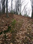
-

- Many, many blowdowns along the entire section hiked
-

- The Knob we were hoping not to have to hike!
-

- Clearing at powerlines
There was another round of confusion with signage as we pulled away from the lake. It took a while to find the next blaze…when I found it and yelled for NoBendBarbie…she yelled back “Where ARE you?” I was pretty far in front of her and the trees made it difficult for her to see me. Have patience with this trail! Soon after this, NoBendBarbie got a call from her brother, Arthur, stating they had missed a blaze and had gone pretty far out of the way and were now backtracking to the trail. He and my nephew, Will, were hiking together at this point and were pretty frustrated by the sound of it. We told them to get back to the trail and we would hike together from that point on! Together we would scout out the occasionally obscure blazes!
We found them just after mile marker 30. I suggested they sit down and eat something and I would scout around for the blazes. We consulted the map and it indicated the trail turns to the left. I headed left and soon found the turn off for the trail. It was a little odd and I can see why the boys missed it. This is why it is good to hike with other people! More eyes the better! Anyway, we trooped on…boys egos were a little deflated…but you know it happens…hike on!
-

- After milepost 30, take a left at the ridge
-
- Arthur consults the map
-
- Will & NoBendBarbie
-

- Another ridge to climb!
-
- Right after milepost 29 trail descends steeply to creek.
Time for a break! We took a long break at the creek to decompress. This was a great spot. I settled into the nook of a tree and just flopped out with another PB&J…ahhhhhhhhhh felt good! 🙂 🙂


The trail continued to ascend and descend very steeply. At times, Will just sat down and slid. Going up was tough, not techically, but it was muddy and so steep. Our feet kept slipping in the mud and it was quite difficult to stay put and to make forward progress. I was looking for roots to anchor my boot into so I wouldn’t slip as much and grabbed onto trees when I could! 🙂 Became a very interesting hike! I told Will at some point this was the kind of trail that would build your confidence for hiking or break you completely. We chose confidence and continued on with much humor. At times, we would just start laughing so hard that it made it difficult to put one foot in front of the other!
-

- The butt tree…pretty much sums up what we were all thinking at the time!
-
- More blowdowns
-

- Above another creek
-

- Mile 28…Arthur
-
- NoBendBarbie & Will
-

- Another lovely climb
-
- Working on up
-
- I am only 4 feet in front of NoBendBarbie, but so much higher!
-
- Will has made it to the top! Yay Will! On my way!
-
- Nice view
-

- Break!
-
- Oh god…here we go again!
-

- Next to last ridge
-
- Break at the ridge
-
- Leota trailhead
I loved hiking with my family. When the going gets tough, hilarity ensues! It was a tough trail due to inconsistent trail markings, blowdowns and the grade of the trail (so so steep in places). Hopefully, as the trail continues to evolve more volunteers can be recruited for trail building and maintenance! Looking forward to my next hike on the KT!


Very cool post! I’m doing a thru hike of the KT in October, been trying to condition myself for it. I did 7 miles in and then 7 back out, it hurt!
Thanks! I had fun and plan on doing another section when I go back to the Hoosier state this year. Have a great backpack! Do you blog? I would love to see your reports on the trail!
http://isthisonefree.wordpress.com/
I thought I replied to you already, maybe not..anyway, I just created this so I could post pics and some info on some of the gear I’m going to be using on the trail for the 3 days that I’ll be out.
Great!