Riveting title don’t you think. 😉
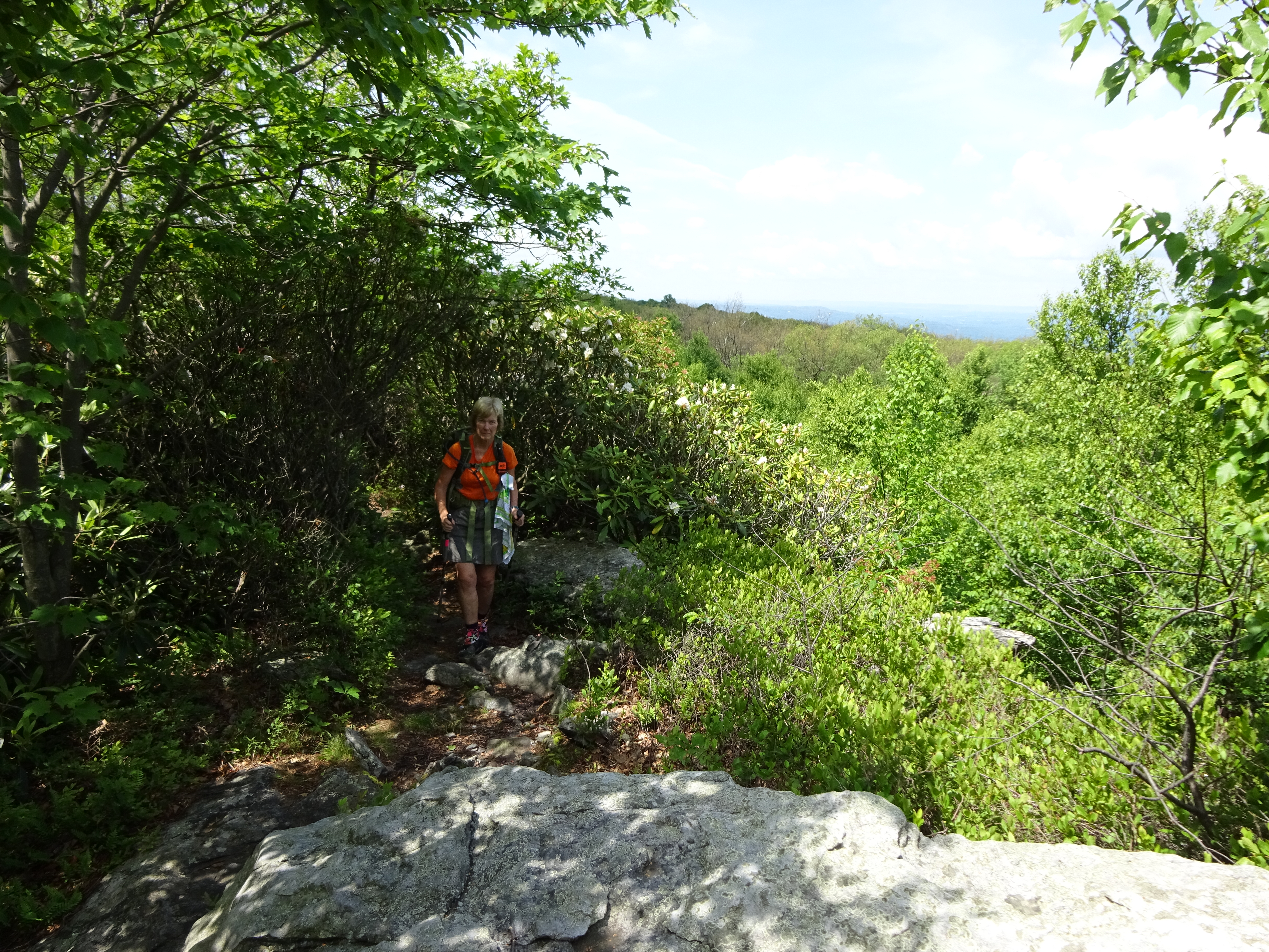
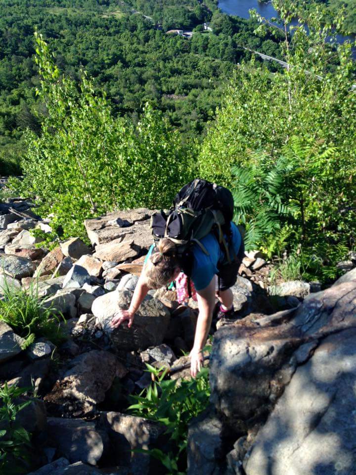
Started early last Saturday (before the Labor Day Weekend) …Sidekick Pauli in tow. We had the whole day to hike! I found the Rt.601 parking lot without difficulty, but wow! what a drop off into the parking lot! I switched out my sandals for hiking boots, grabbed extra water for Pauli, then headed down the blue blaze towards the AT. Heads up, people, the heat was back in town!
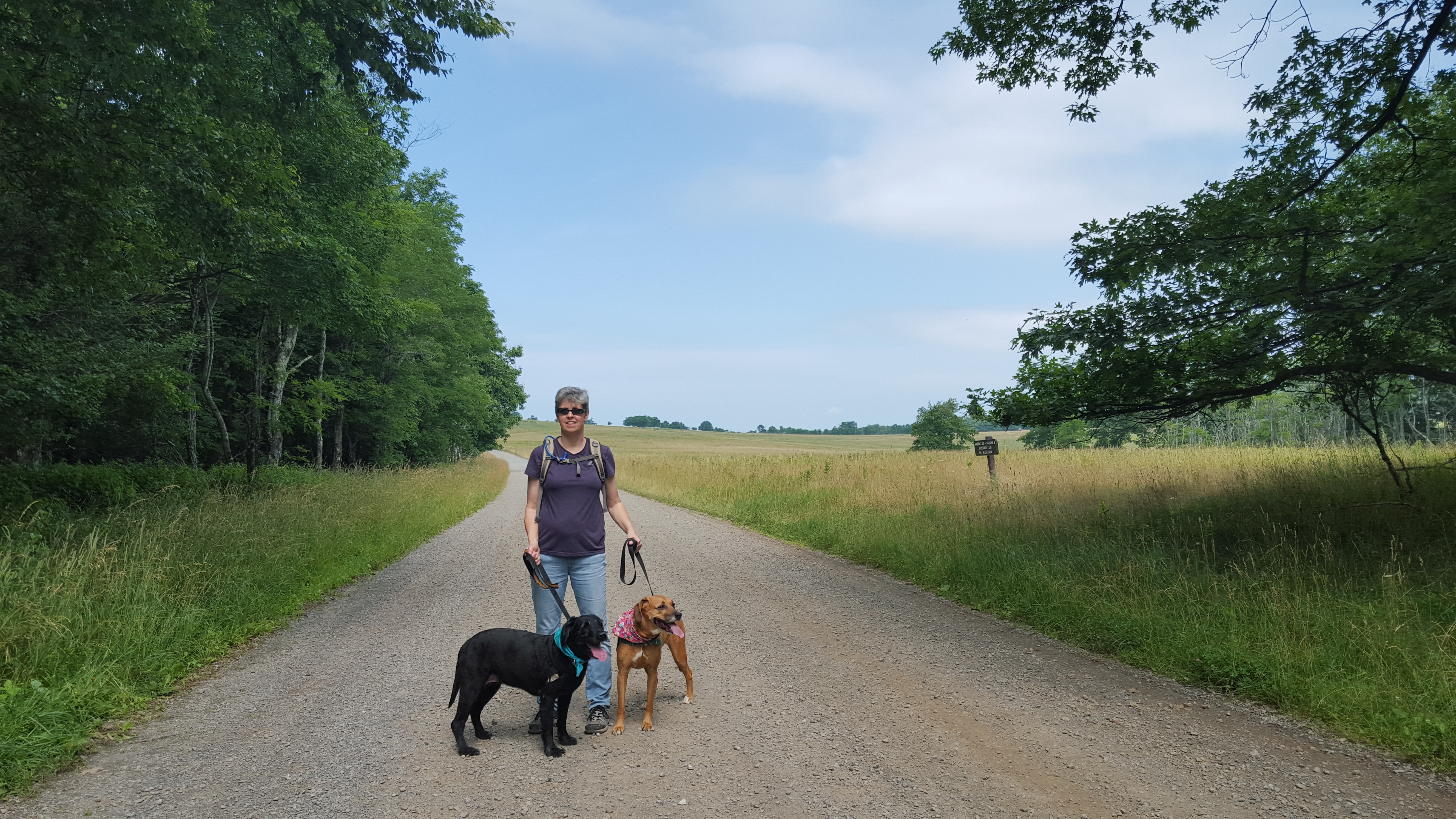
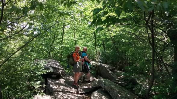
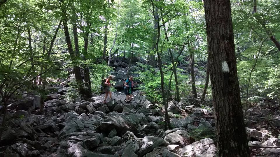
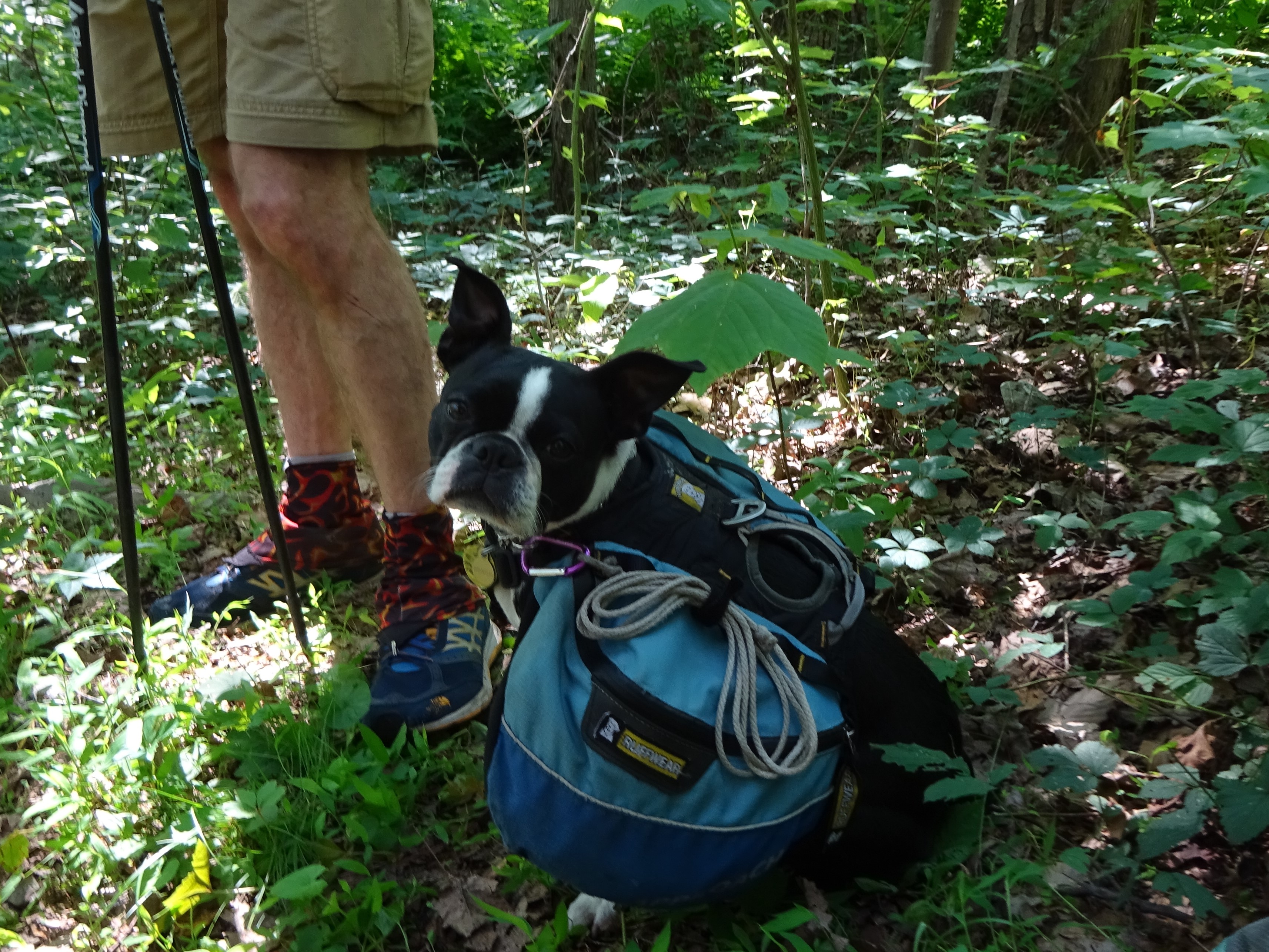
Left turn onto the AT, then in about 0.2 of a mile we were cross Rt. 50, a major highway, which thankfully was pretty quiet this morning. Sidekick Pauli was already in tongues out mode as you can see in the pic below!
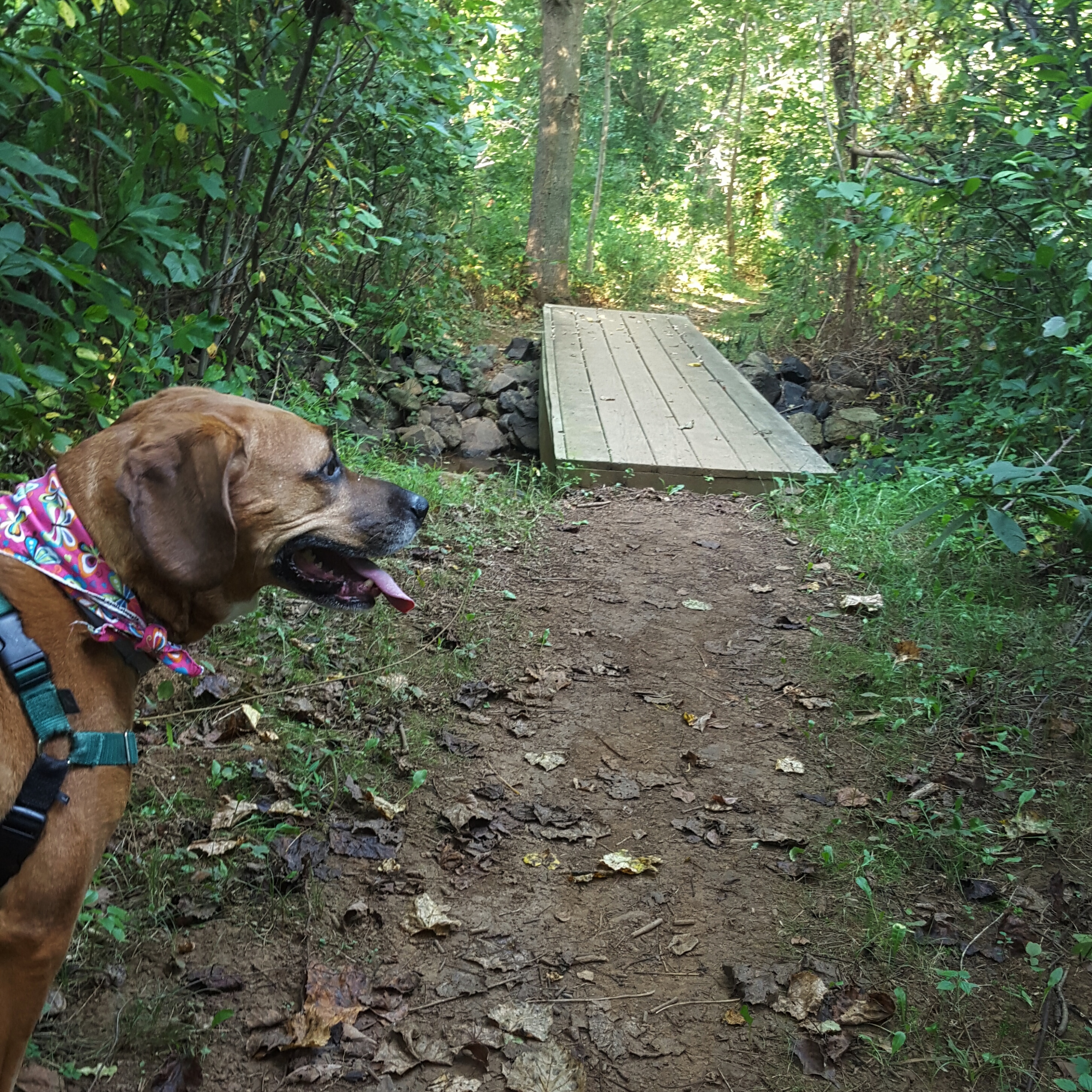
On the trail just after cross Rt. 50.
The trail hugged Rt. 50 climbing gently until reaching the parking area on Liberty Hill Road. Afterwards, the climb becomes more steep, but not unreasonable so. I had plans to take the Old Trail (the old AT) up the hill and AT back down the hill. I had never taken the Old Trail and had conjured up a trail that was overgrown, filled with briers and ticks, with a faint path leading through it. I pictured faint or non-existent blazes on the trees…and quite honestly, I imagined getting lost!
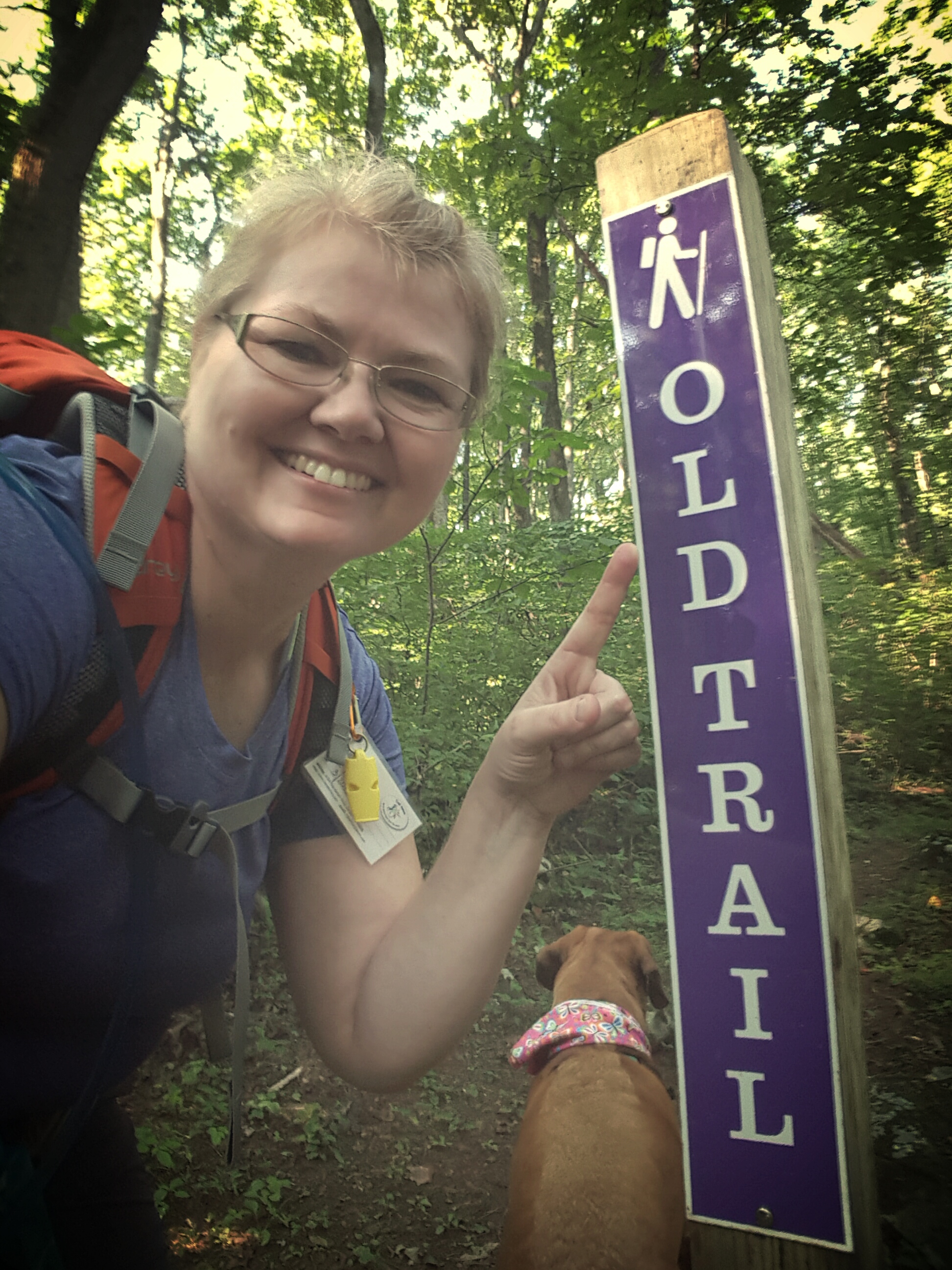
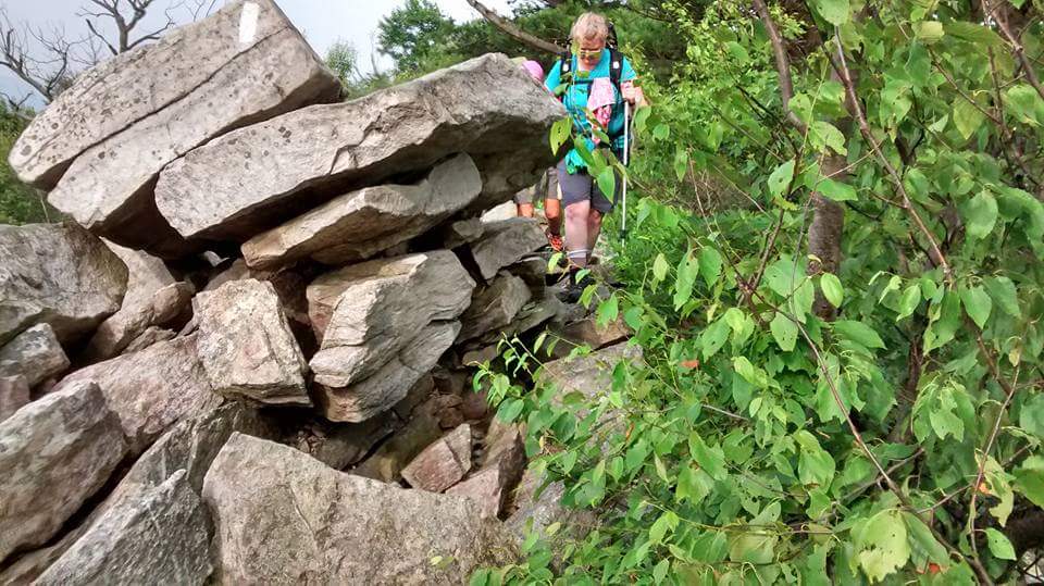
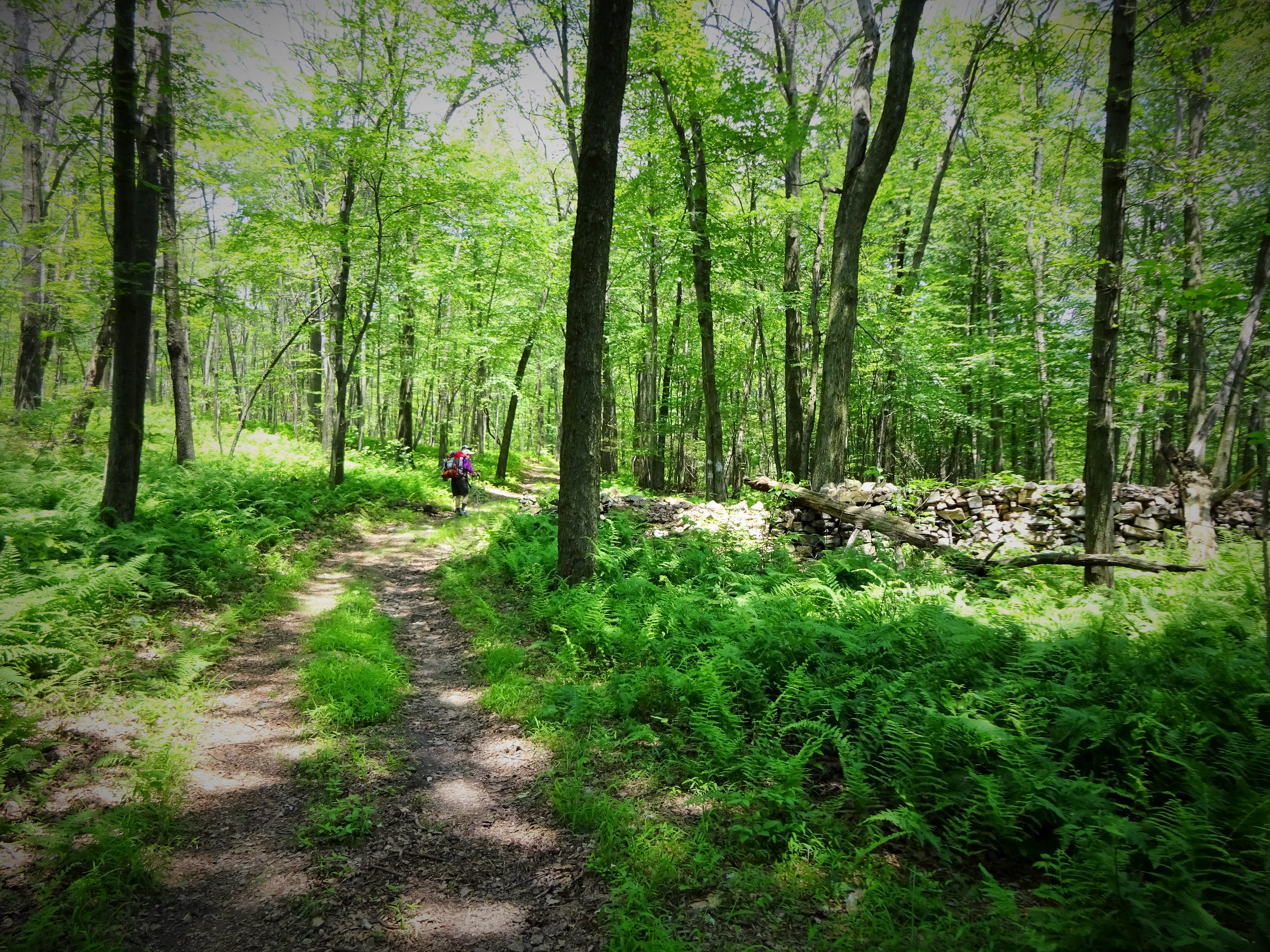
The Old AT!
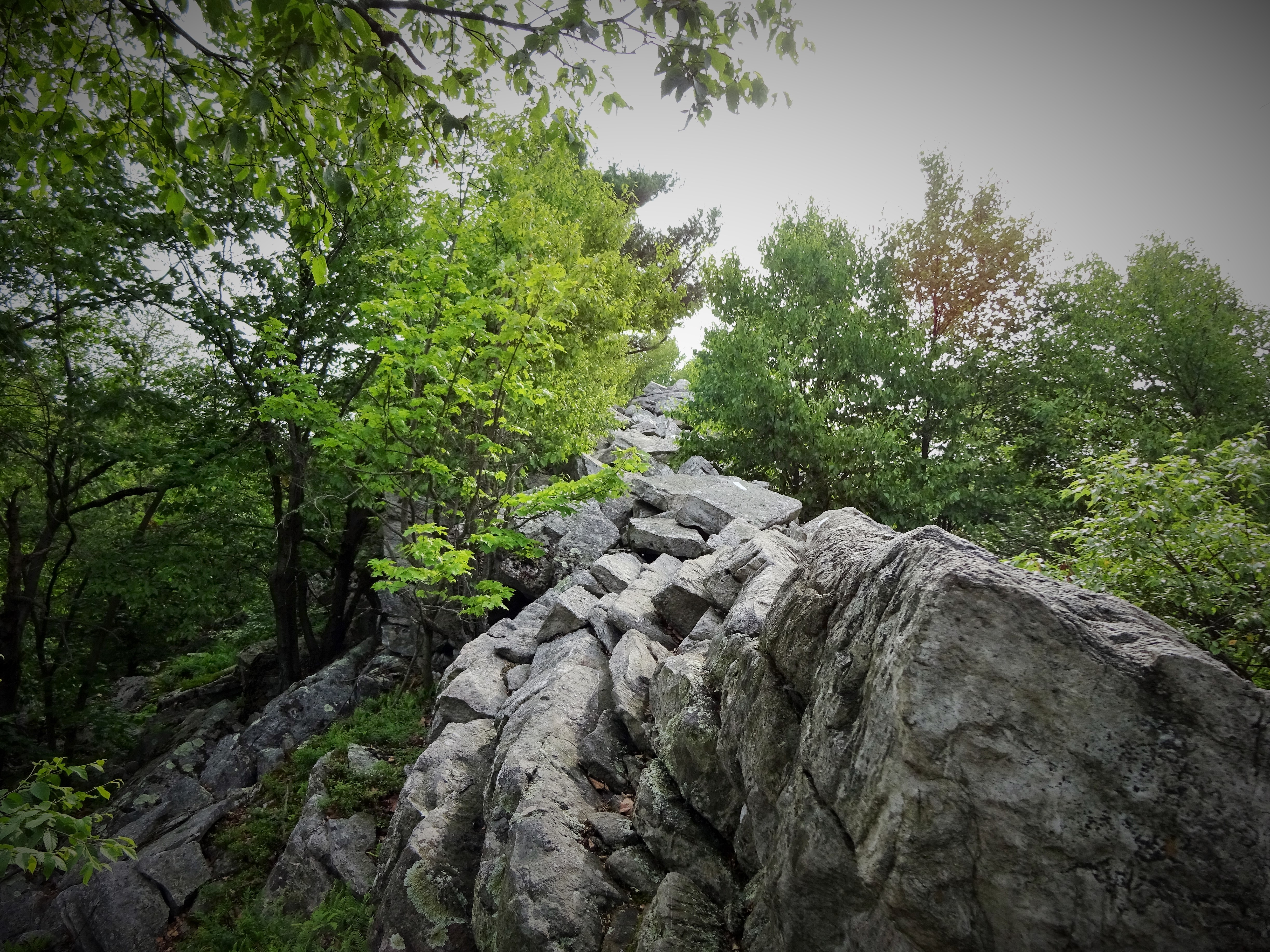
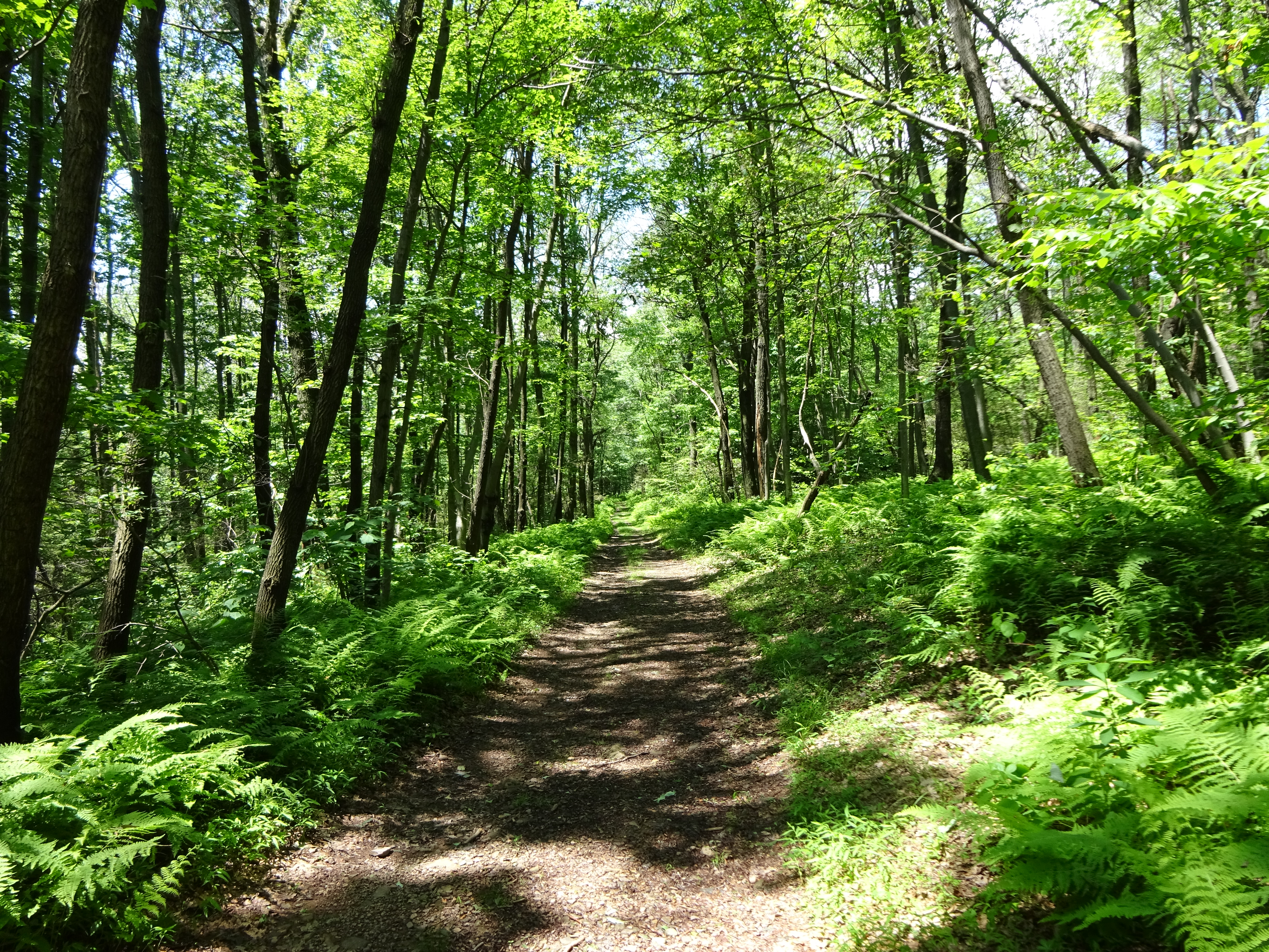
I could not have been more wrong. The Old Trail is marked clearly and often with purple blazes and the trail is pristine! What a nice surprise. The only part I didn’t like was the multitude of spider webs spanning the trail. Goodness, I must have taken twenty little spiders hiking with me…and their webs were in my hair, on my pack, everywhere.
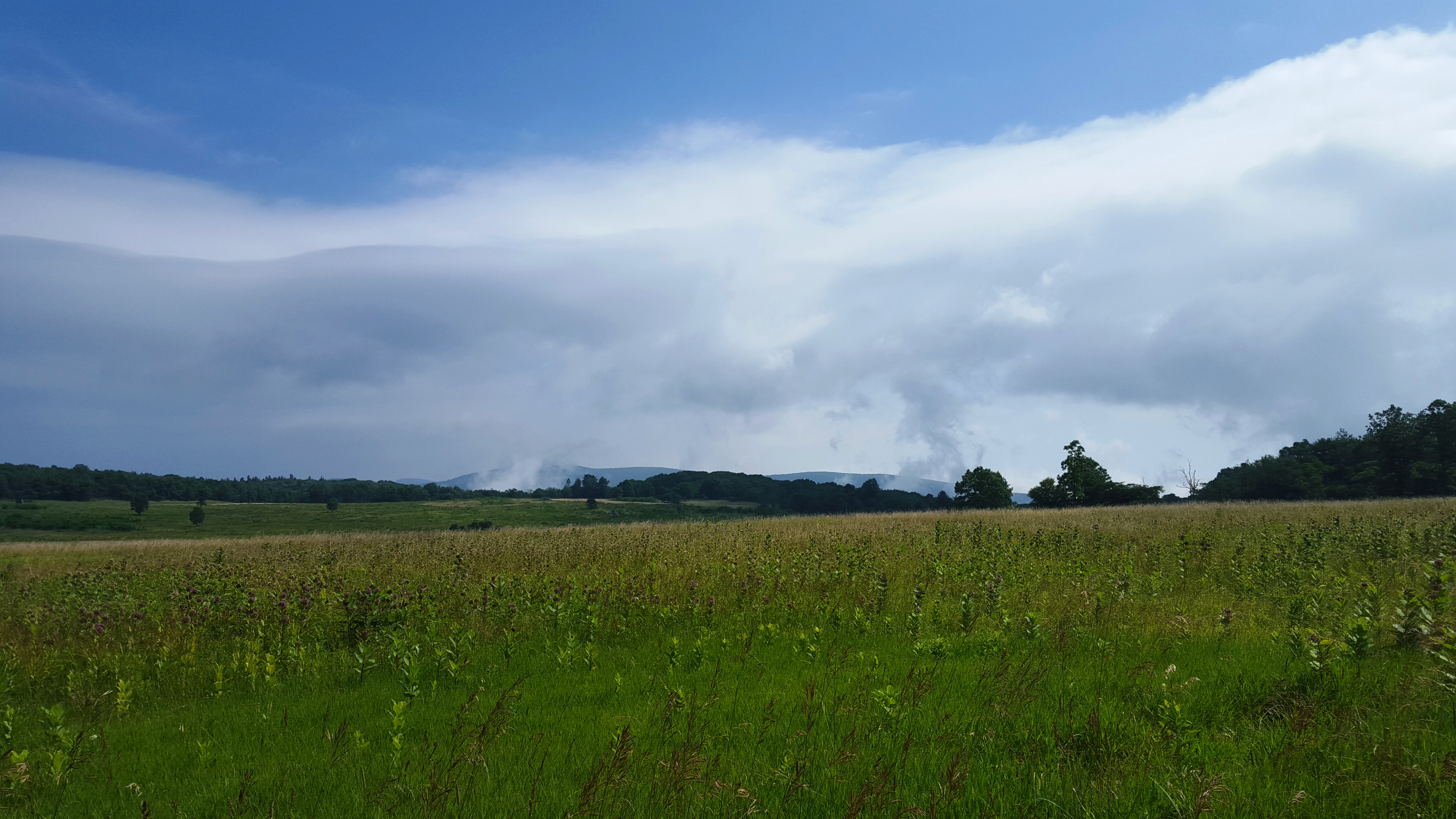
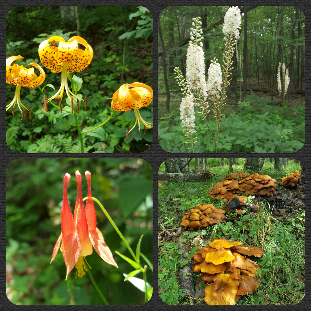
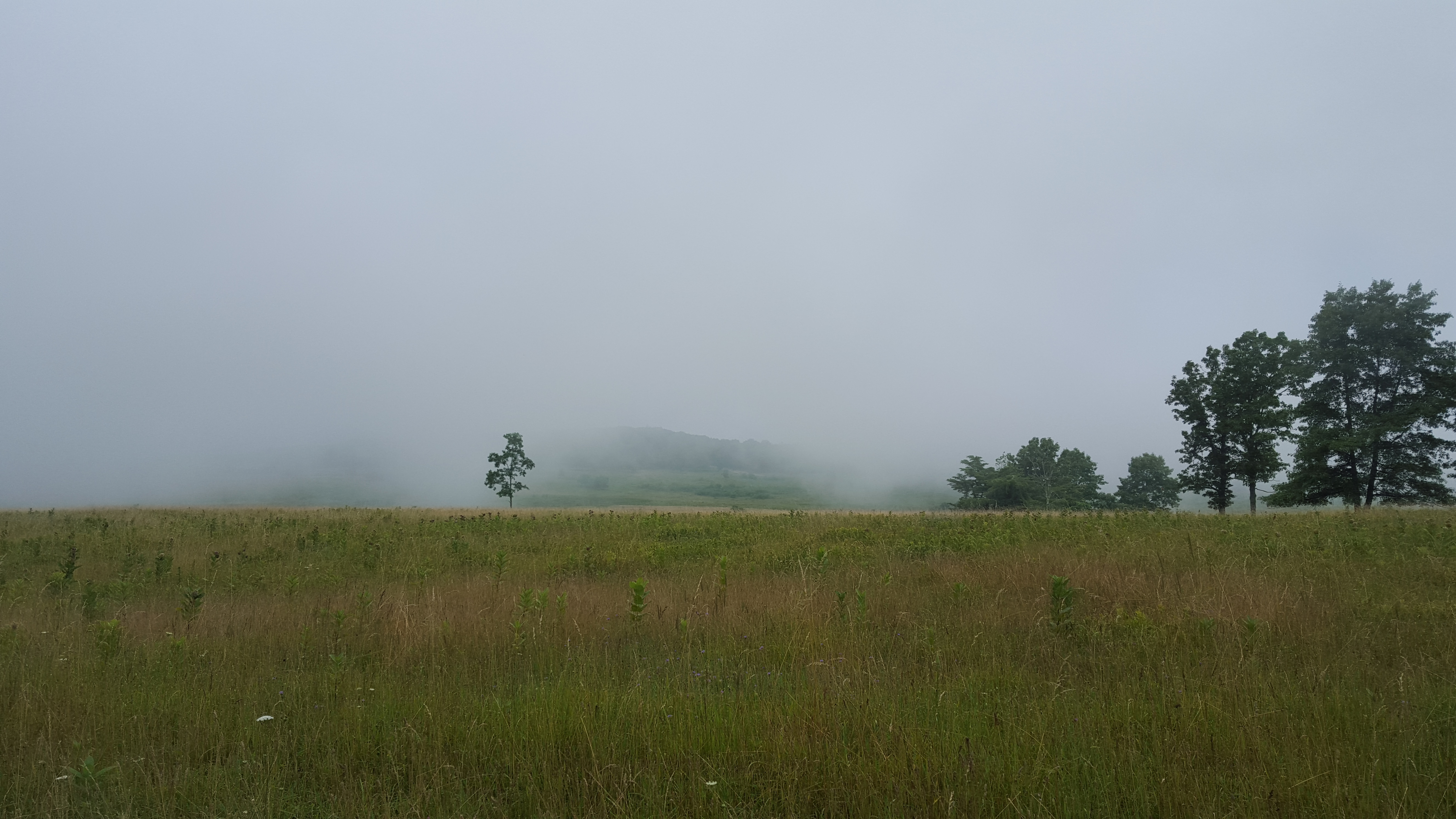
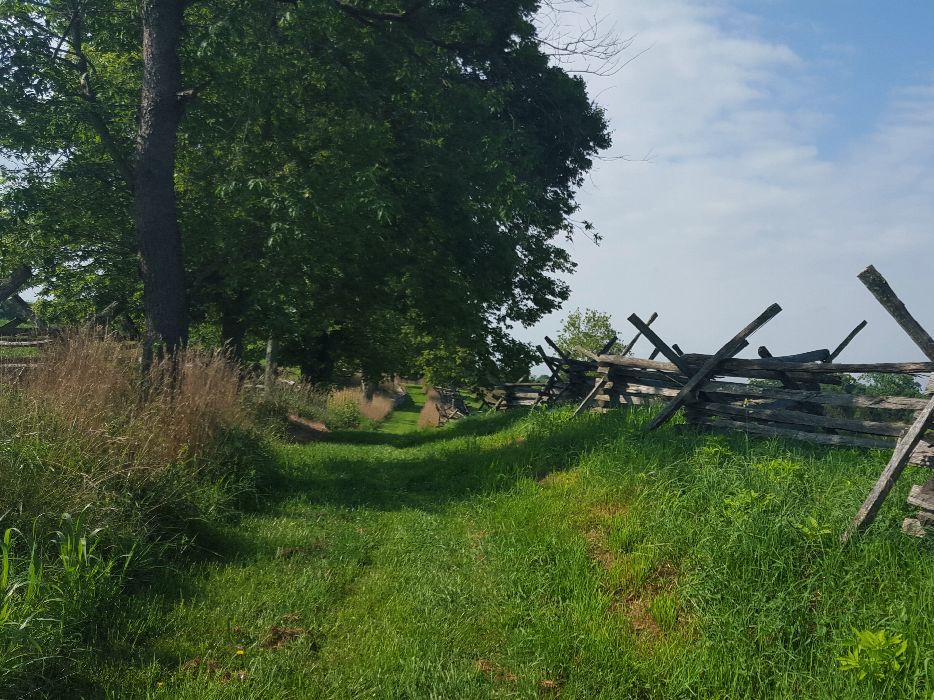
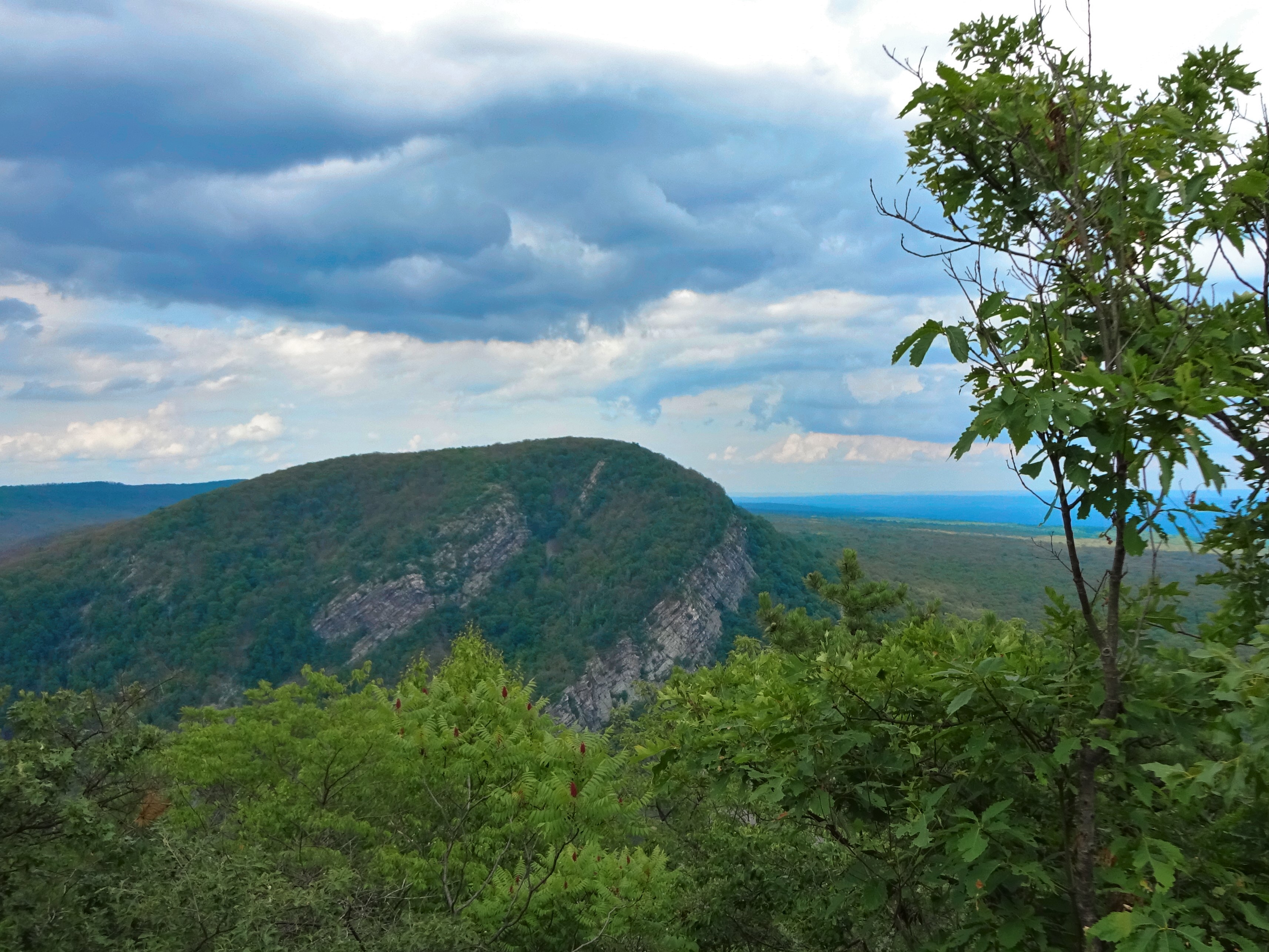
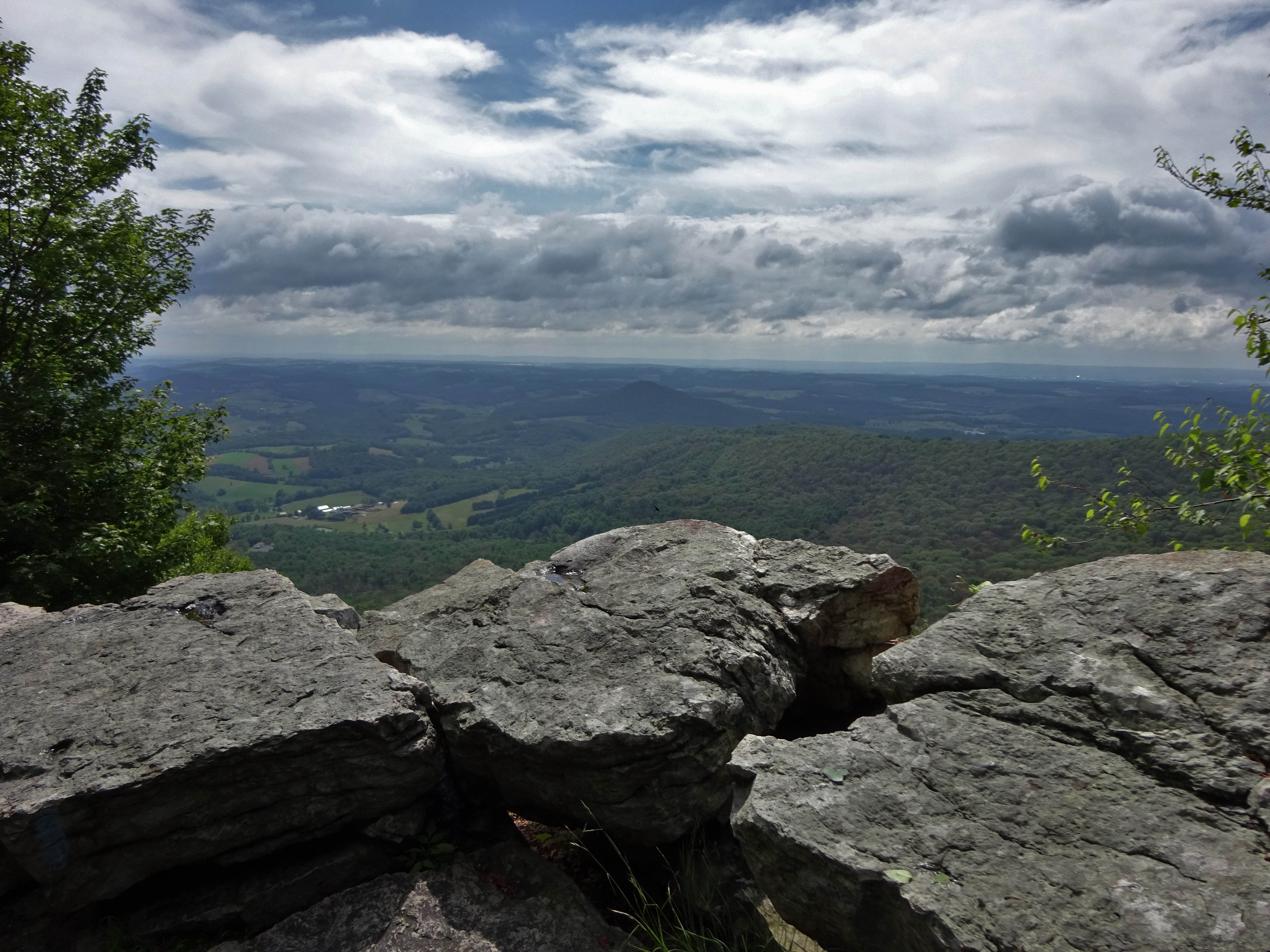
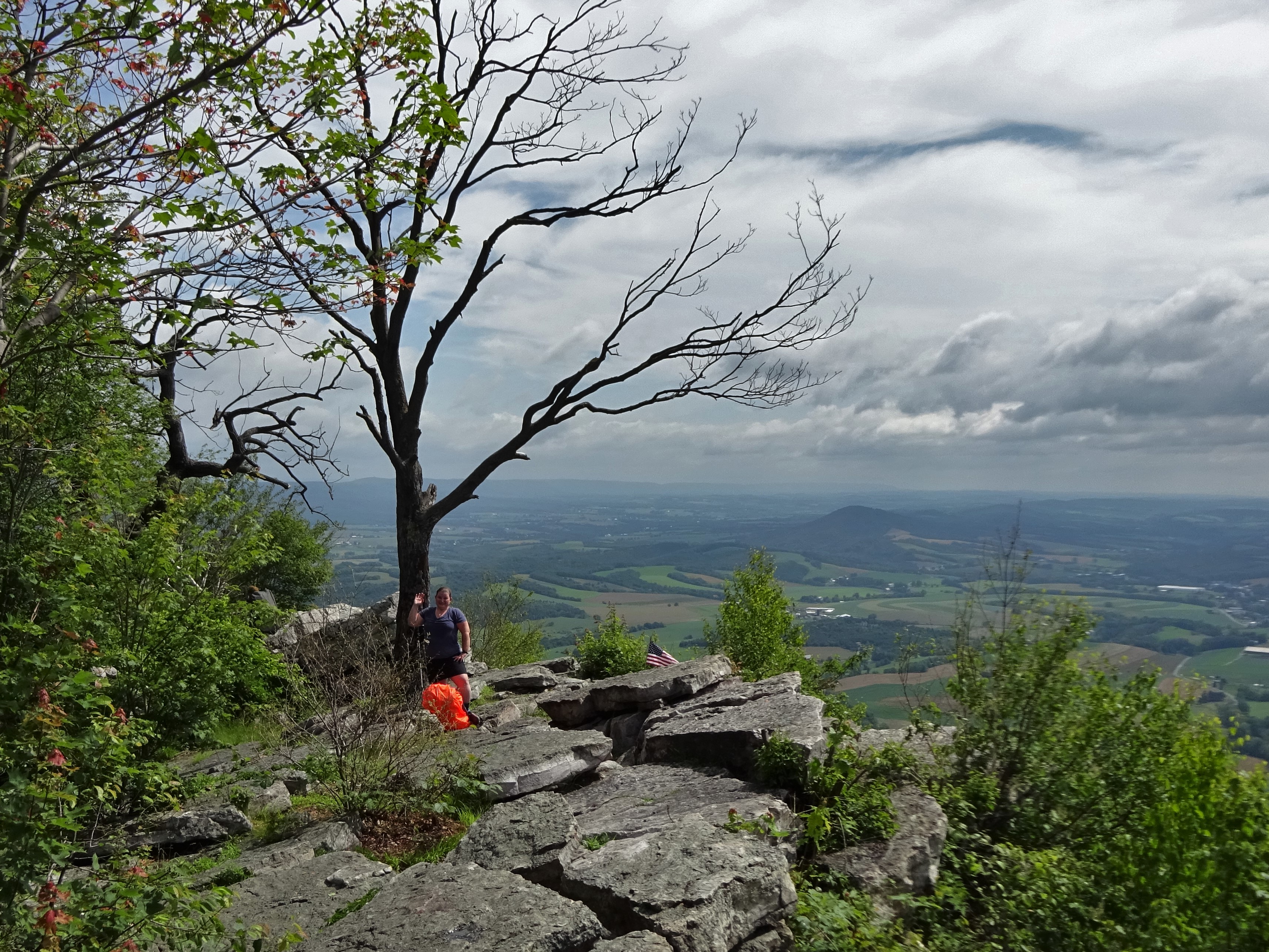
A calm ascent up this little hill before the real heat of mid-day set in. Butterflies owned the pipeline where wildflowers were abundant.

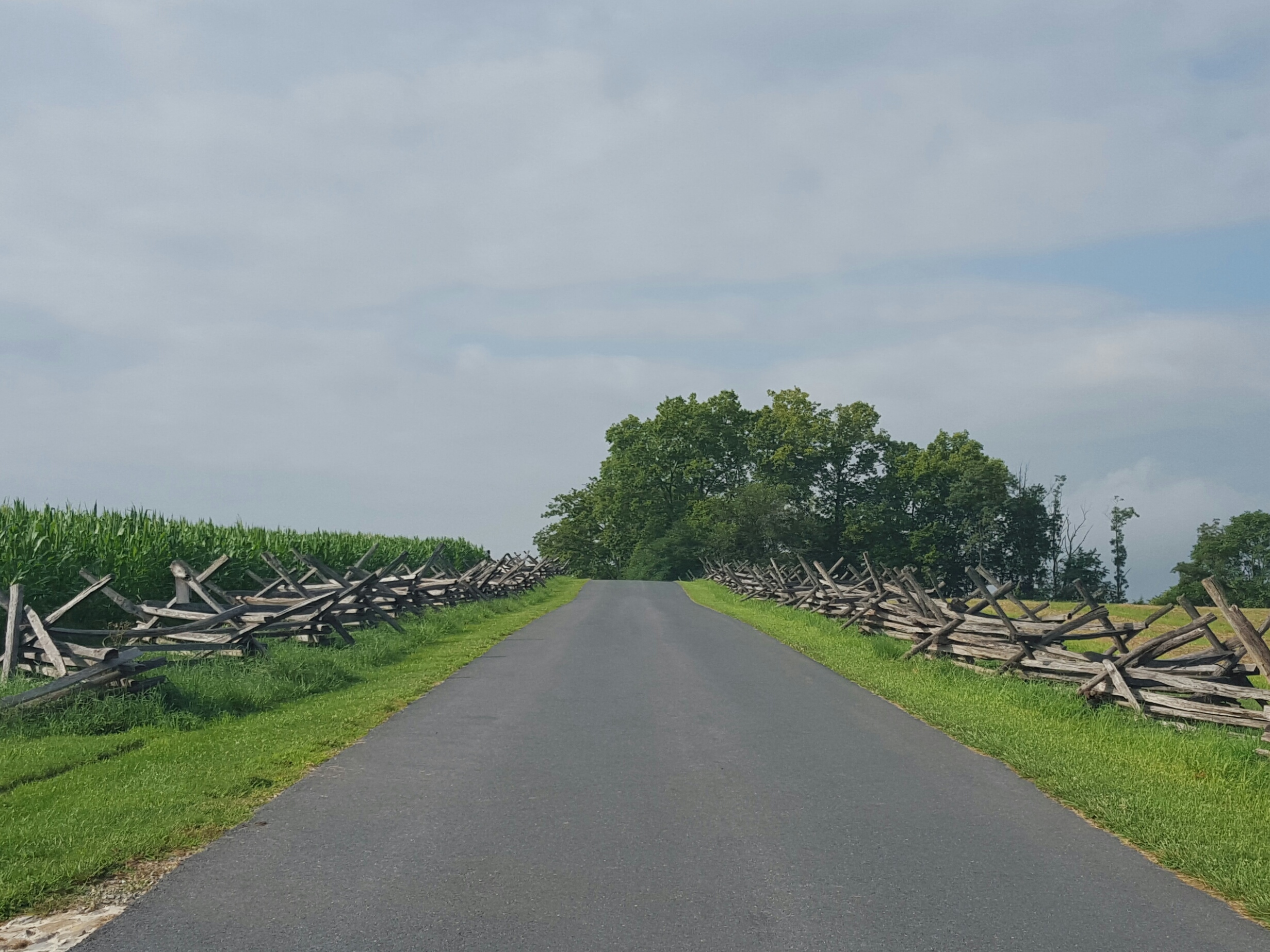
Then it was back into the woods for a short stretch before we reached the AT. We were now in Sky Meadows State Park proper.

New colorful signs are replacing the old standard brown and white. I allowed myself a moment of nostalgia looking down at the classic brown and white sign that had been tossed to the side, then admired the brightly colored new trail marker with improved information.

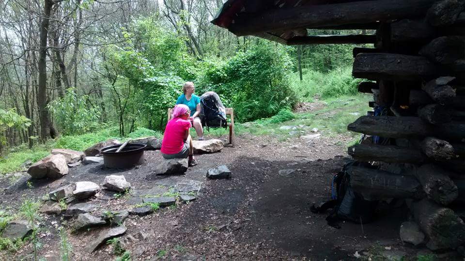
We turned right, then took a nice sit down break at the intersection of the North Ridge trail. It is a proper resting spot with a bench! Sidekick Pauli crawled underneath finding a cool spot to rest and to keep a watchful eye on anyone coming up the trail. 🙂 My traildog!

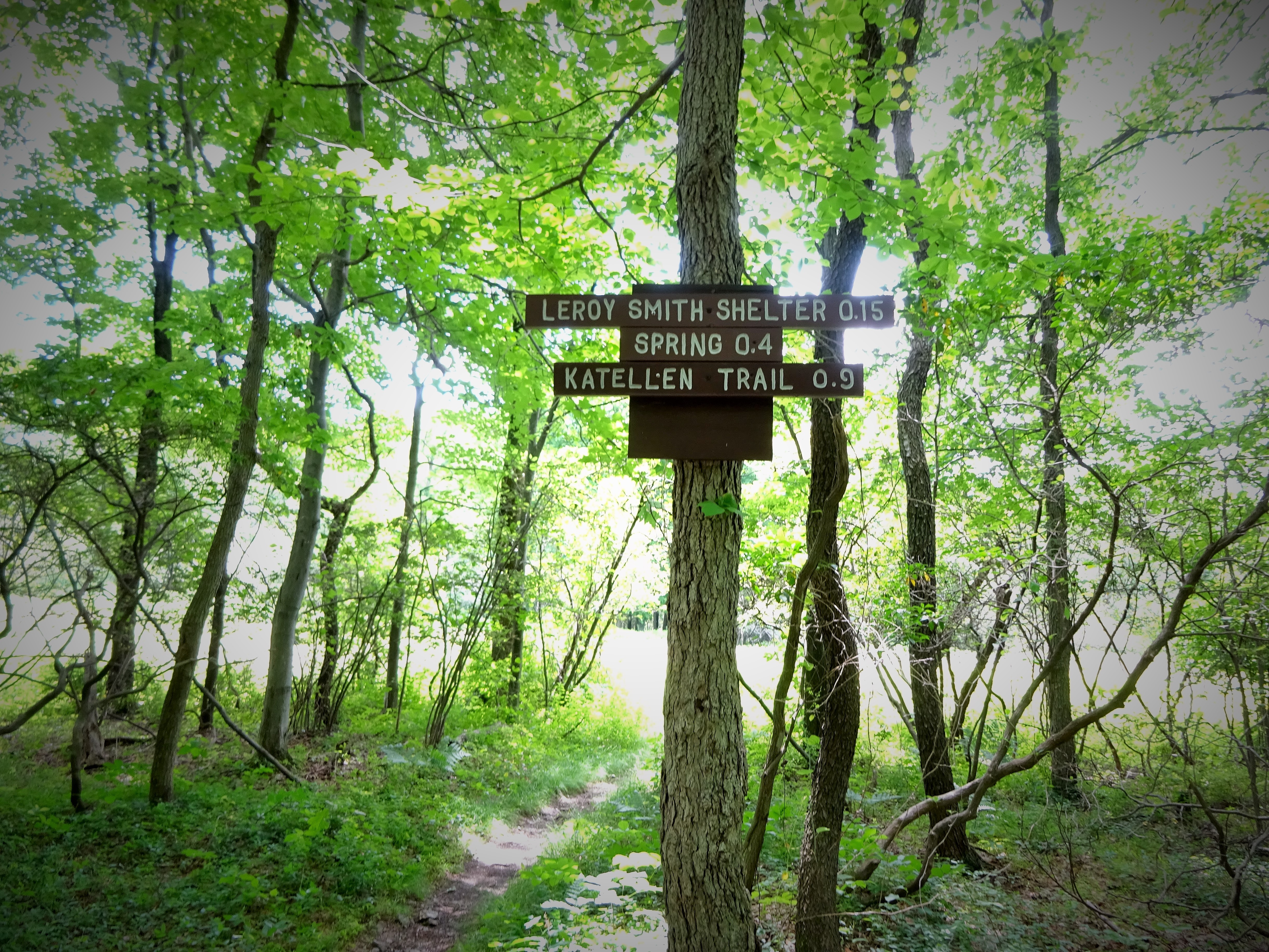
The plan was to continue south to the first parking lot off the Thompson Wildlife Management Area. This would allow an easy starting point to continue this section at a later date. The PATC map showed Orchard Parking to be about another 0.7 miles, not too far.
I passed an overgrown path to the right and thought, “If this were Indiana, that would probably be the trail”…snarky I am at times…
After a while, I was more suspect that the overgrown path had indeed been the trail to Orchard parking, as I was not finding any other paths to take. I finally came upon a little sign with a tent symbol and, hallelujah! A PATC trail maintainer! I talked with him a bit and confirmed that I had passed the trail to Orchard parking. So, time to turn around and head back to route 601, this time following the AT through Sky Meadows.

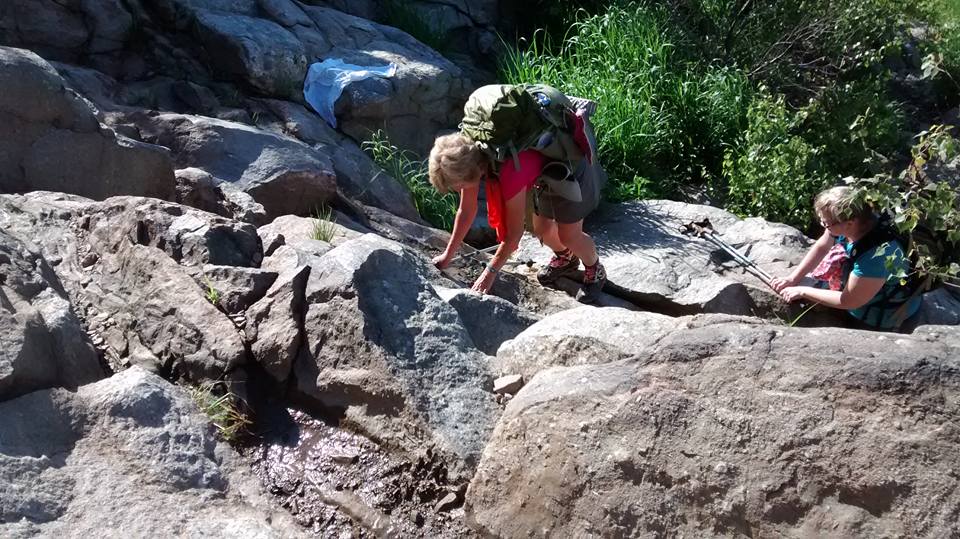
It was such a beautiful day, and I was in no hurry since earlier in my hike I had dodged a huge bee…lost my footing, and fell, cracking my kneecap on a rock. Surprisingly, while it was plenty painful, enough endorphins were flooding the area to keep it manageable!

I was ever so pleased to get to blue blaze that took me back to my car!

Hobble…I mean, Hike on!