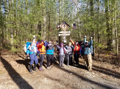
Day 5: June 24, 2015
Okay. Yes. Um. I’m ready? Maybe. Okay. Yeah. Let’s Go!
The most anticipated day on this section. I had Googled it, YouTubed it, and sufficiently freaked myself over it! Then I pronounced we needed to slack pack our way up Lehigh Gap. I got no argument from Google or CanDo. Hmmm. What a surprise. 🙂
I had also found out that the water sources were pretty much nonexistent on the ridge between Lehigh Gap and Kirkridge Shelter (where there is a spigot!). So why not also stash water at Little Gap in CanDo’s car. This would make our packs even lighter! I still carried a liter and a half plus Gatorade…but it felt super light with everything else stashed at Little Gap!
So here we go!

Car is locked, let’s go!
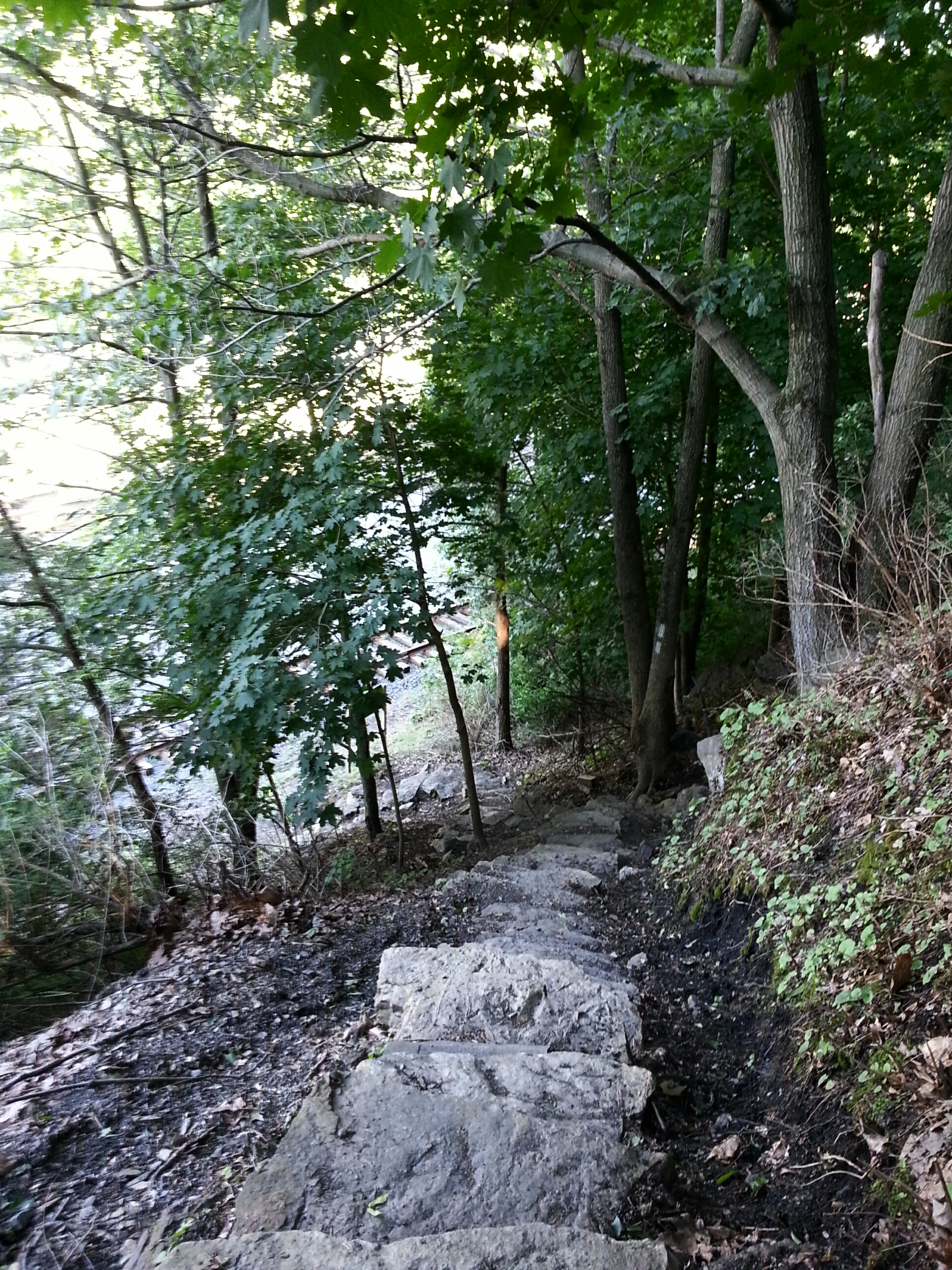
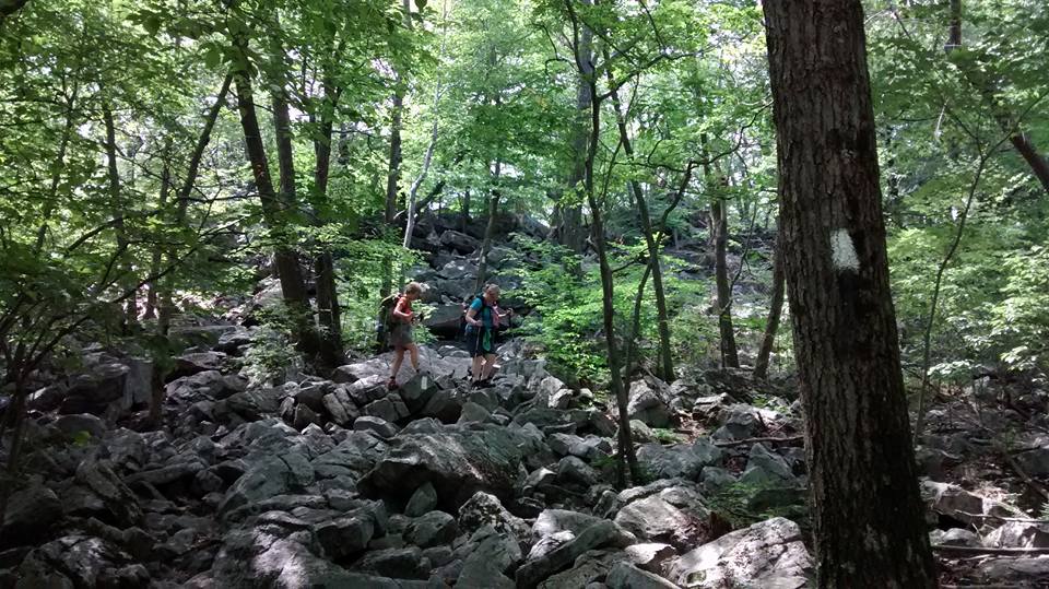
Climbing was steeply uphill through the woods at first. No problem!
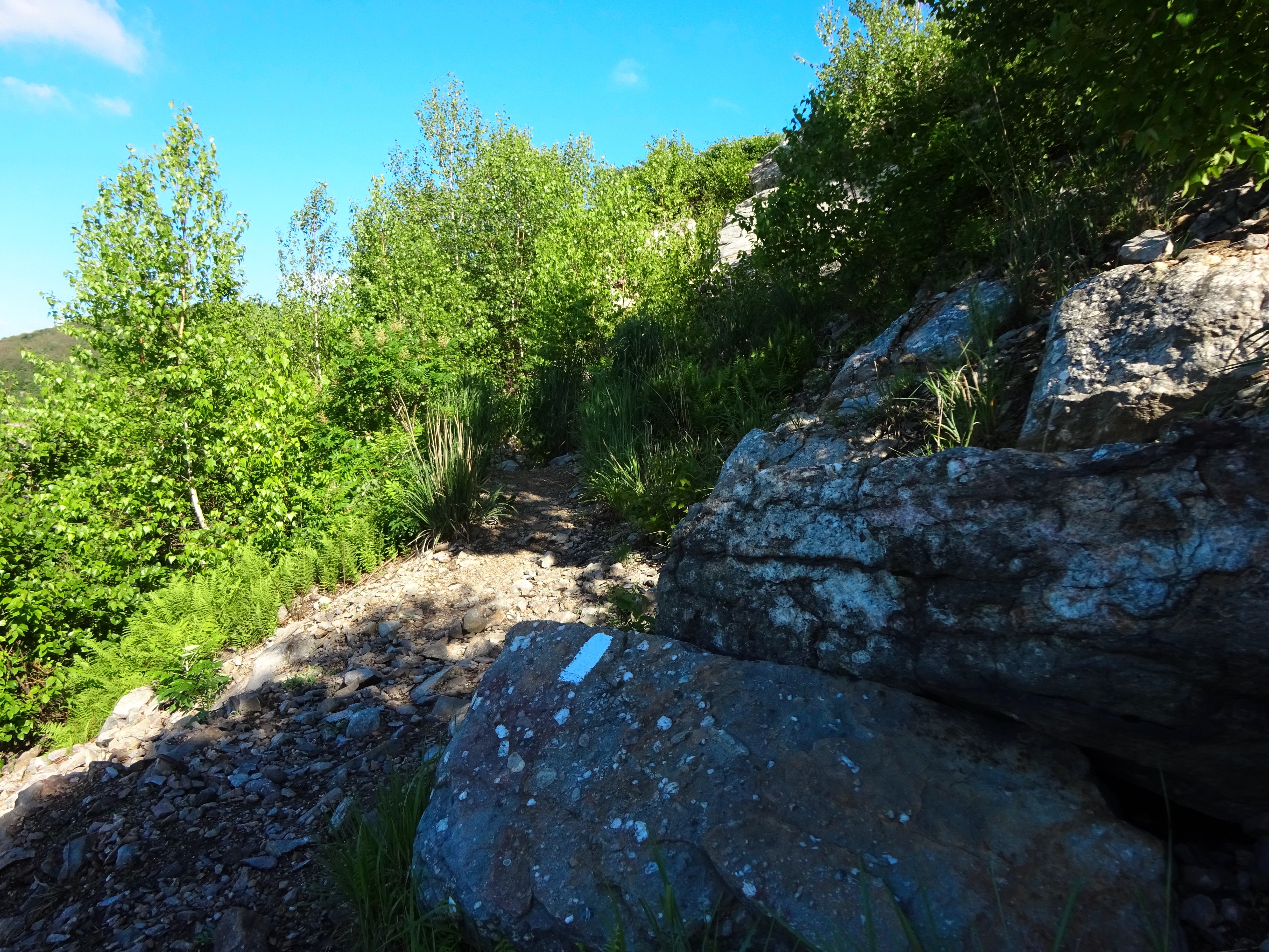
When I saw we were coming out of the tunnel of foliage, I knew the hike was about to get real. My heart started fluttering…argh! too many darn YouTube Videos!!

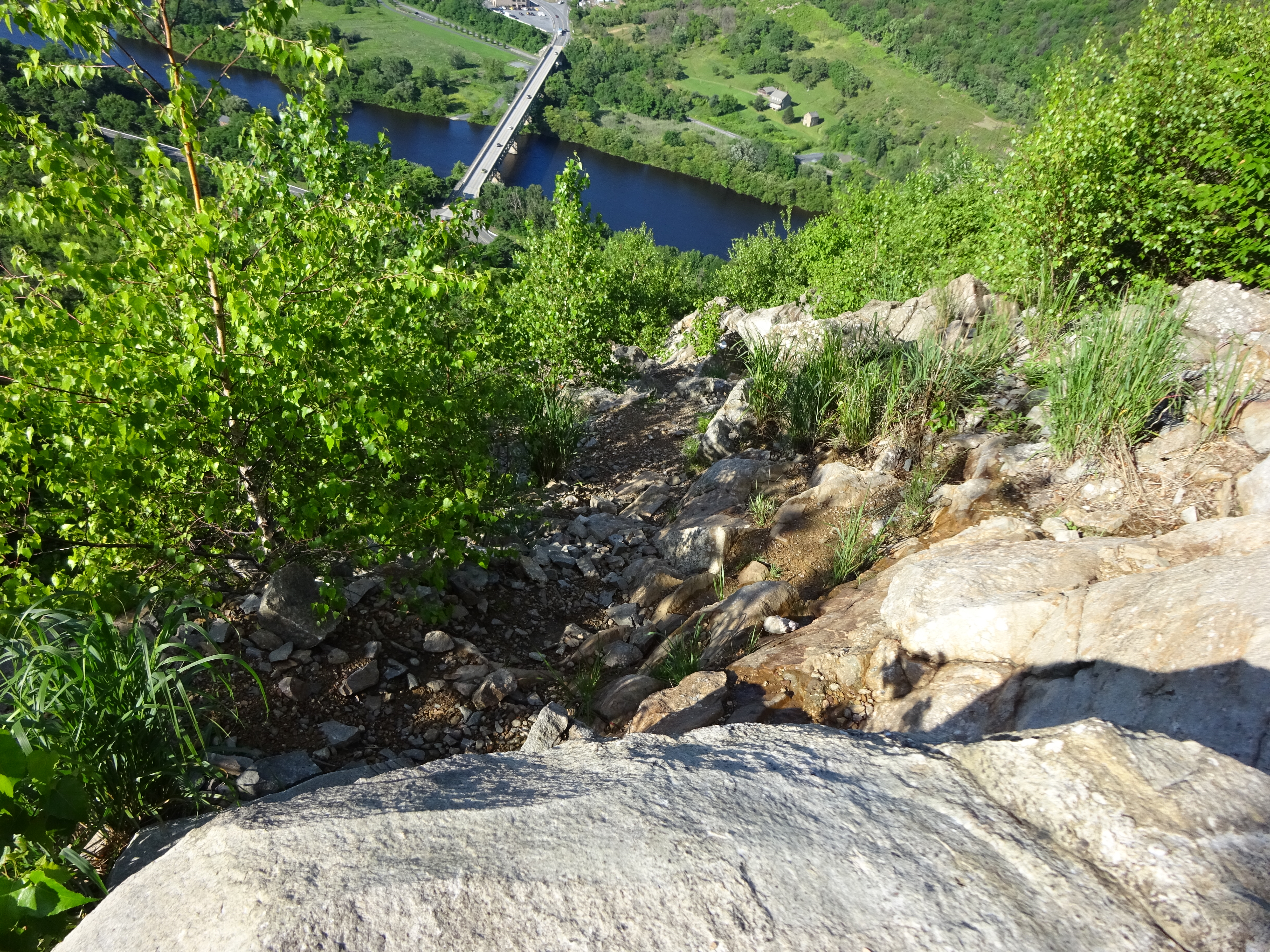
The First Look Down

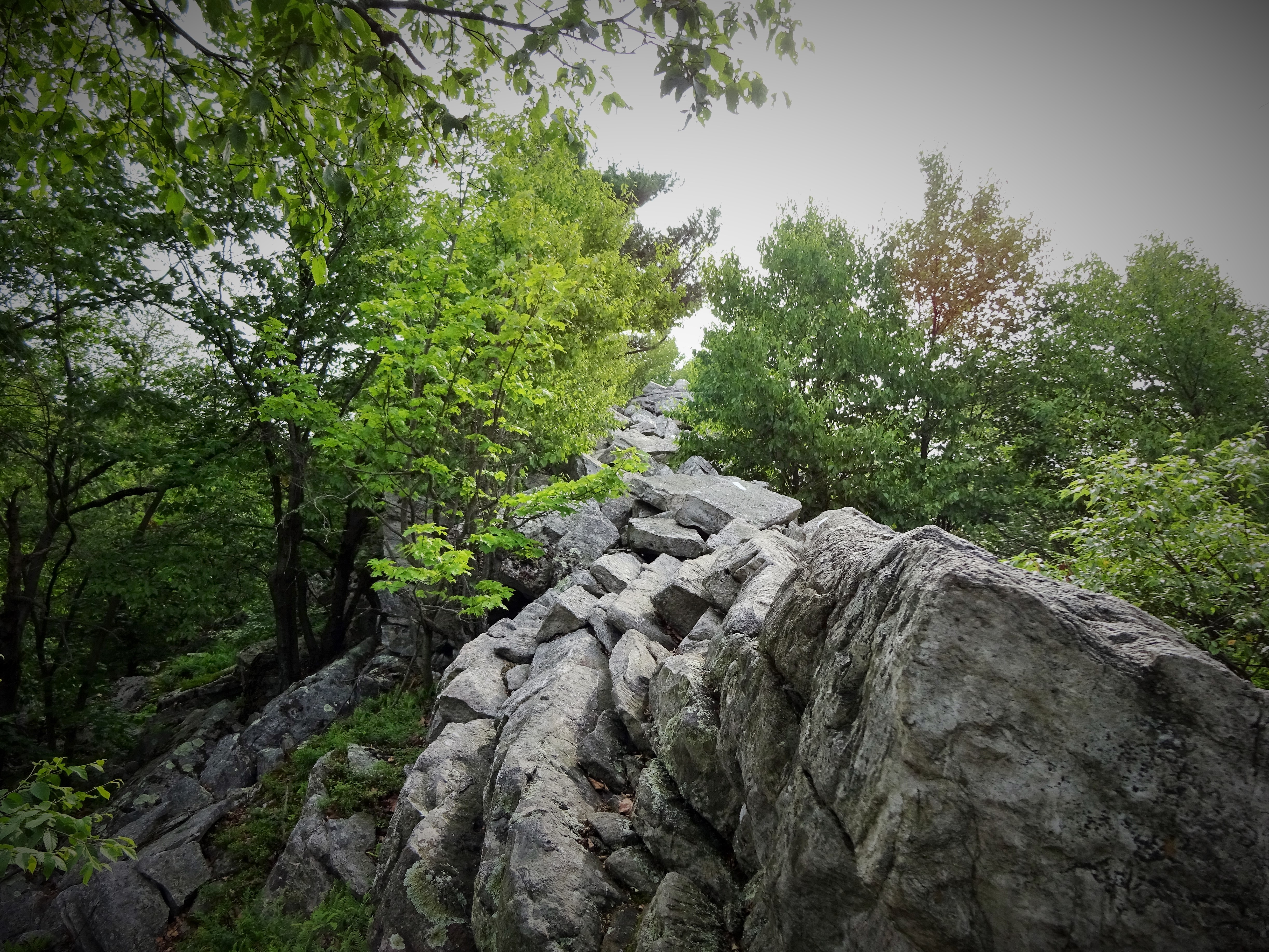
Not so bad…except the blazes go straight up after this. 🙂
I took a deep breath and just told myself “put one foot in front of the other. This is just another mountain, just another pile of rocks, I got this!” So I climbed along the exposed ledge. No problems. Doing good! Oh FRICK… WHAT THE HELL??? I have to go where???
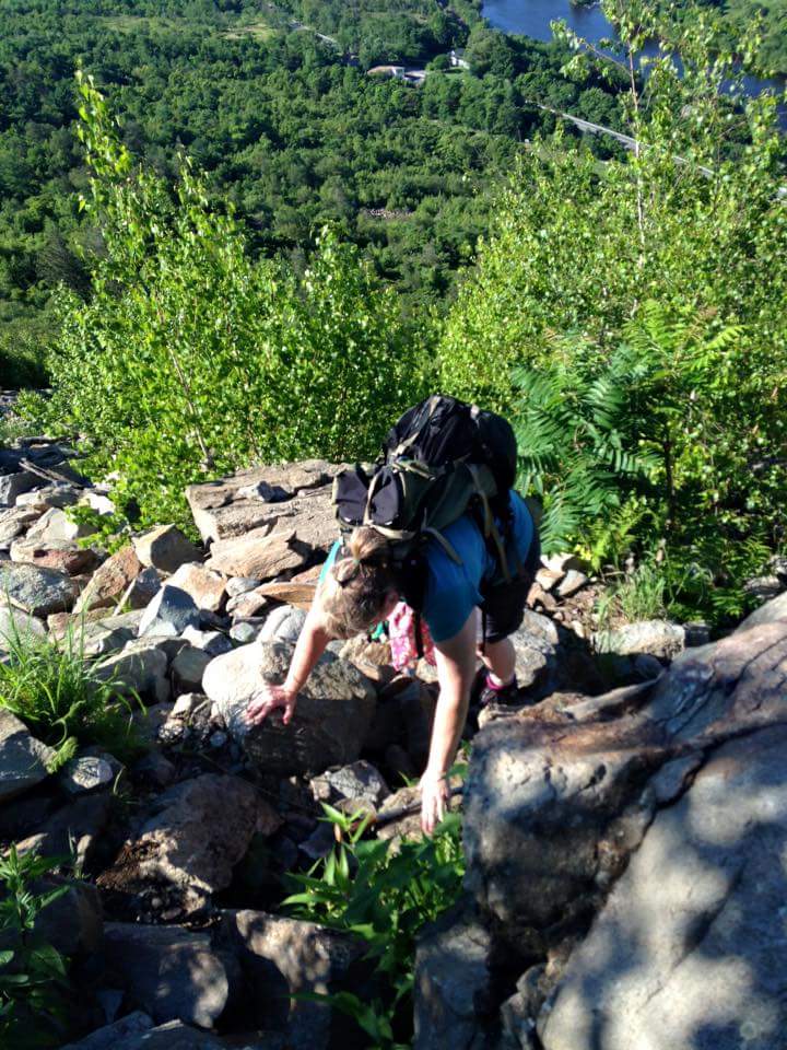
I had a “come to Jesus” moment when I got to a place that really pulled on everything I got to get up on the next level of rocks!!! It was like this: My feet were teetering on a thin little ledge and my arms were fully extended, fingers curled into notches that were barely more than slight indentations in the rock face. I looked down…oh, absolutely NOT going back down! I looked up and like a mantra repeated the “F” word several times in a row. I told myself there is no room to be self conscious about how I get this done. So I hurled myself up hissing the “F” word, pulled with my arms inhaling the “F” word. I was pushing like crazy with my legs, my feet flailing and scraping the rock face..more “F” word mantra with occasional short grunts. Cripes, it felt like child birth!!! Pain in a different place, but still! But I had that baby, yes, I did!

My “Come to Jesus” Moment

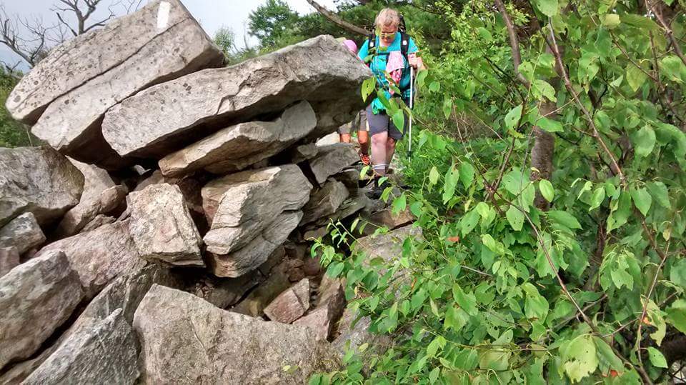
No thinking, Just Climbing! (Thanks Google for the pic!)

Google & BoobOnARock
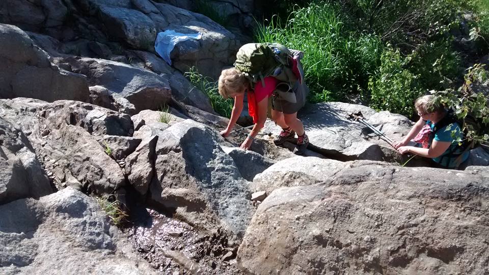
Making our way UP!

Crawling over the top…Not a pretty picture, but major concentration going on here. Climb up, throw poles, climb to poles, throw them again…
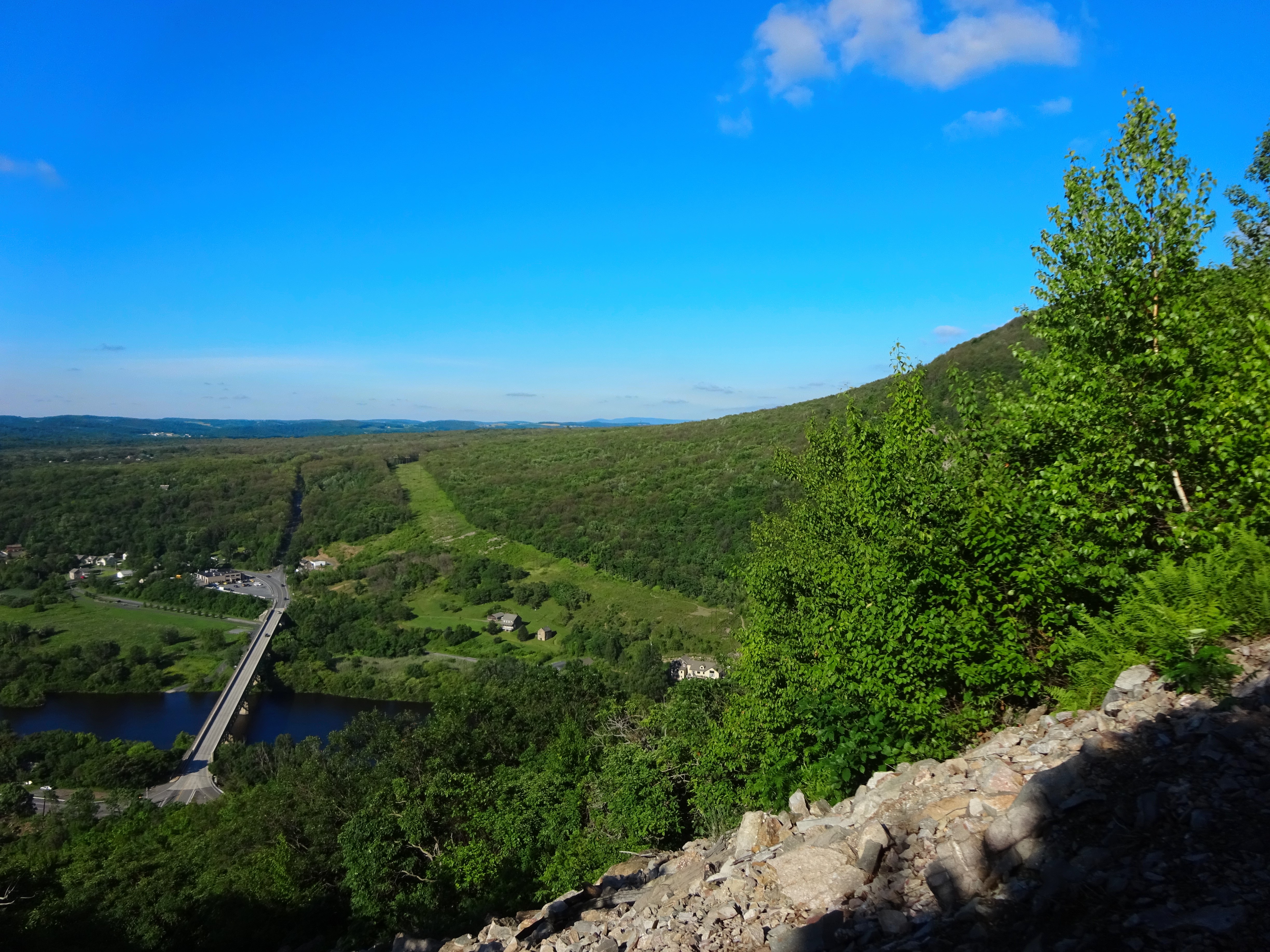
I continued to cleave to that mountain until I crossed over the top of it and had a nice sit down by the FLAG…God Bless Freaking America…where you are free to kill yourself on any mountain you want! Whew!!!

I made it!! Happy Day! This is so cool up here! 🙂 (Thanks CanDo for the pic)
We made it to the top in an hour and a half, unbelievable…we thought it would take much longer. For sure, wanting to get off those crazy rocks is a mighty motivator! 🙂
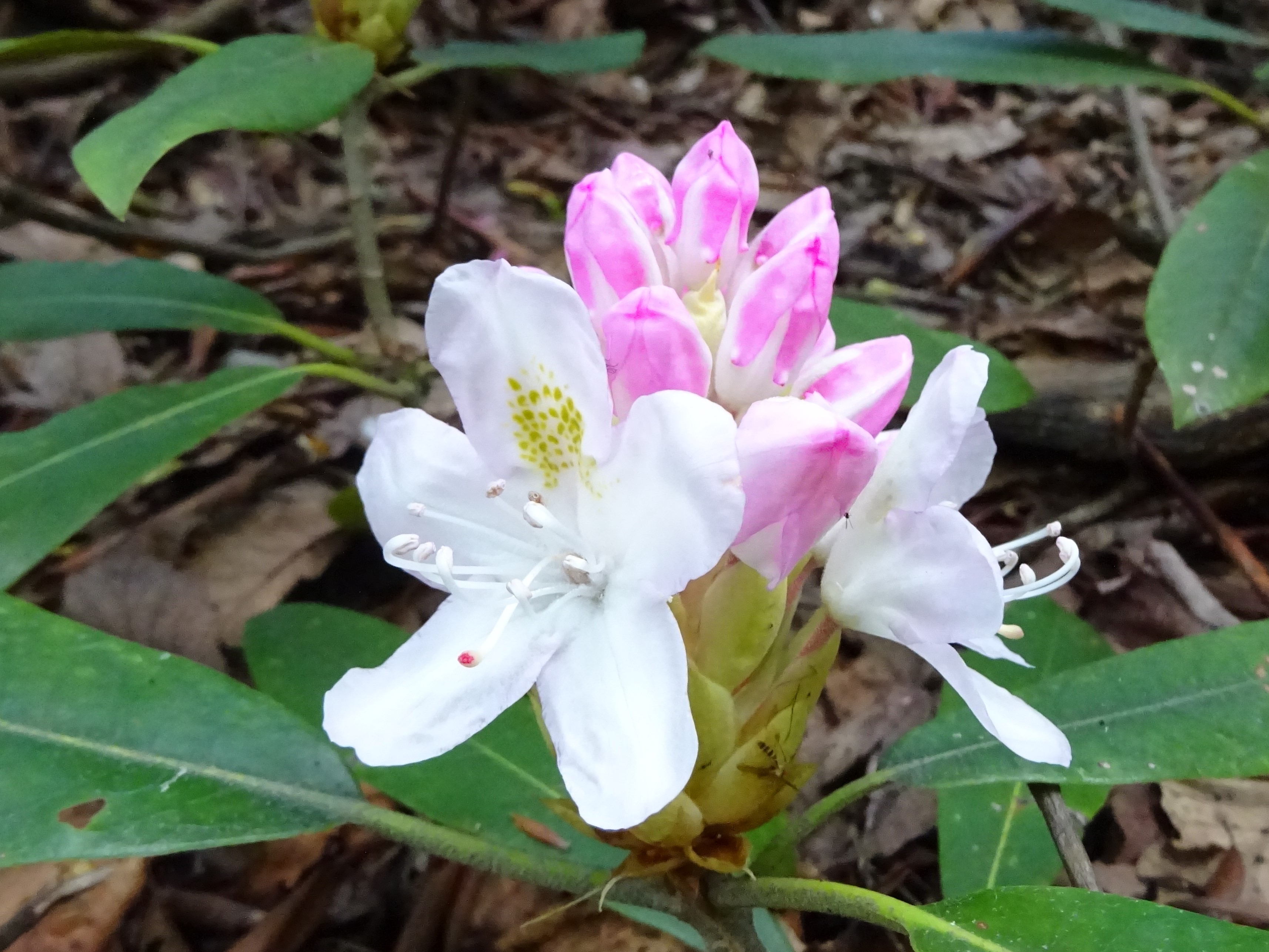
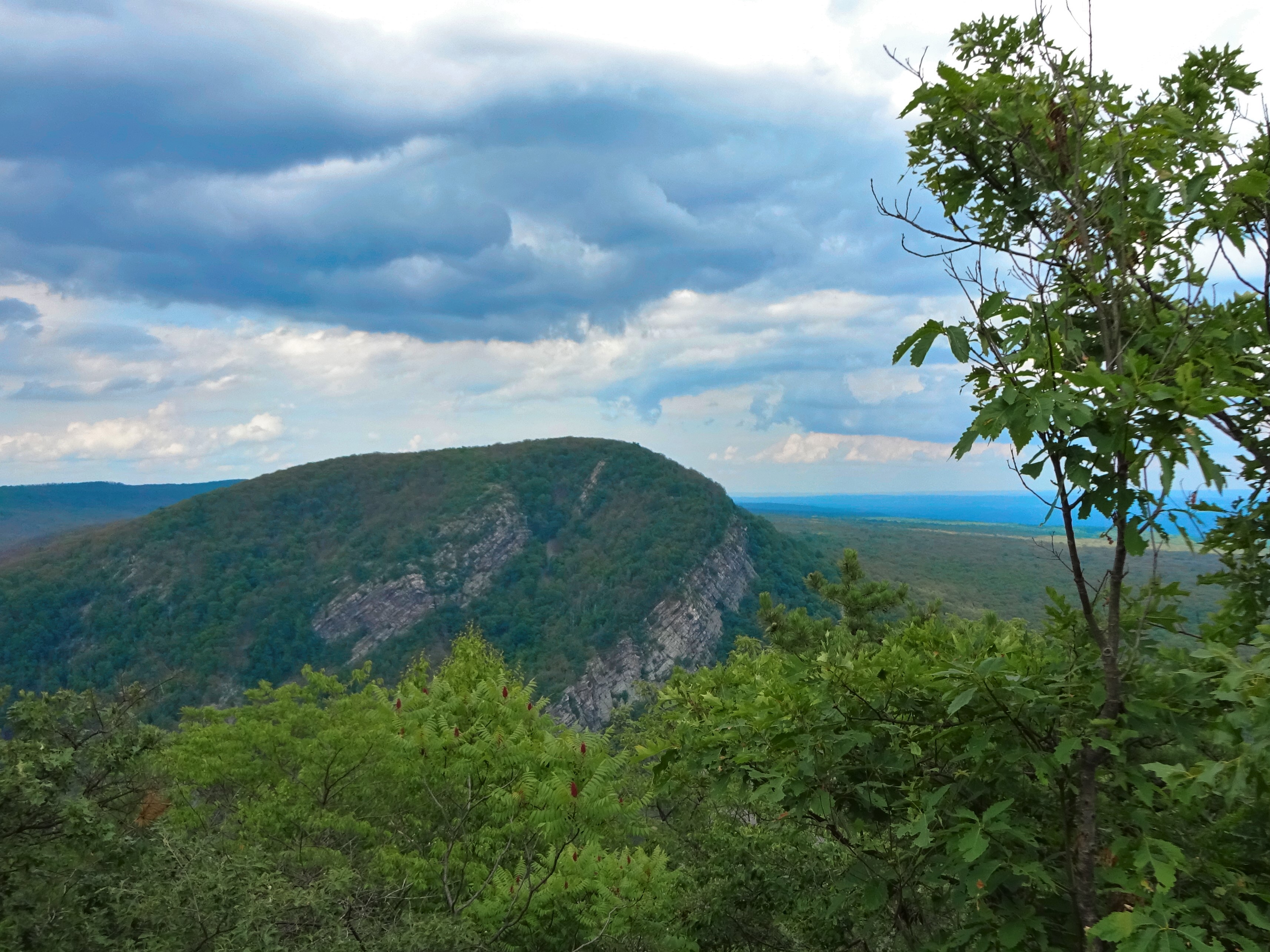
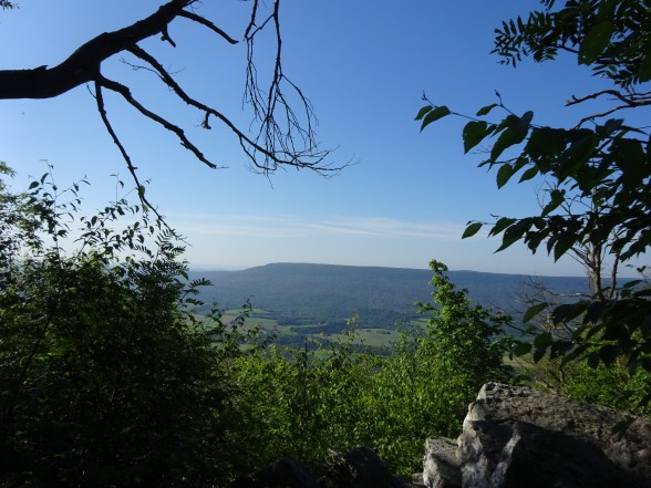
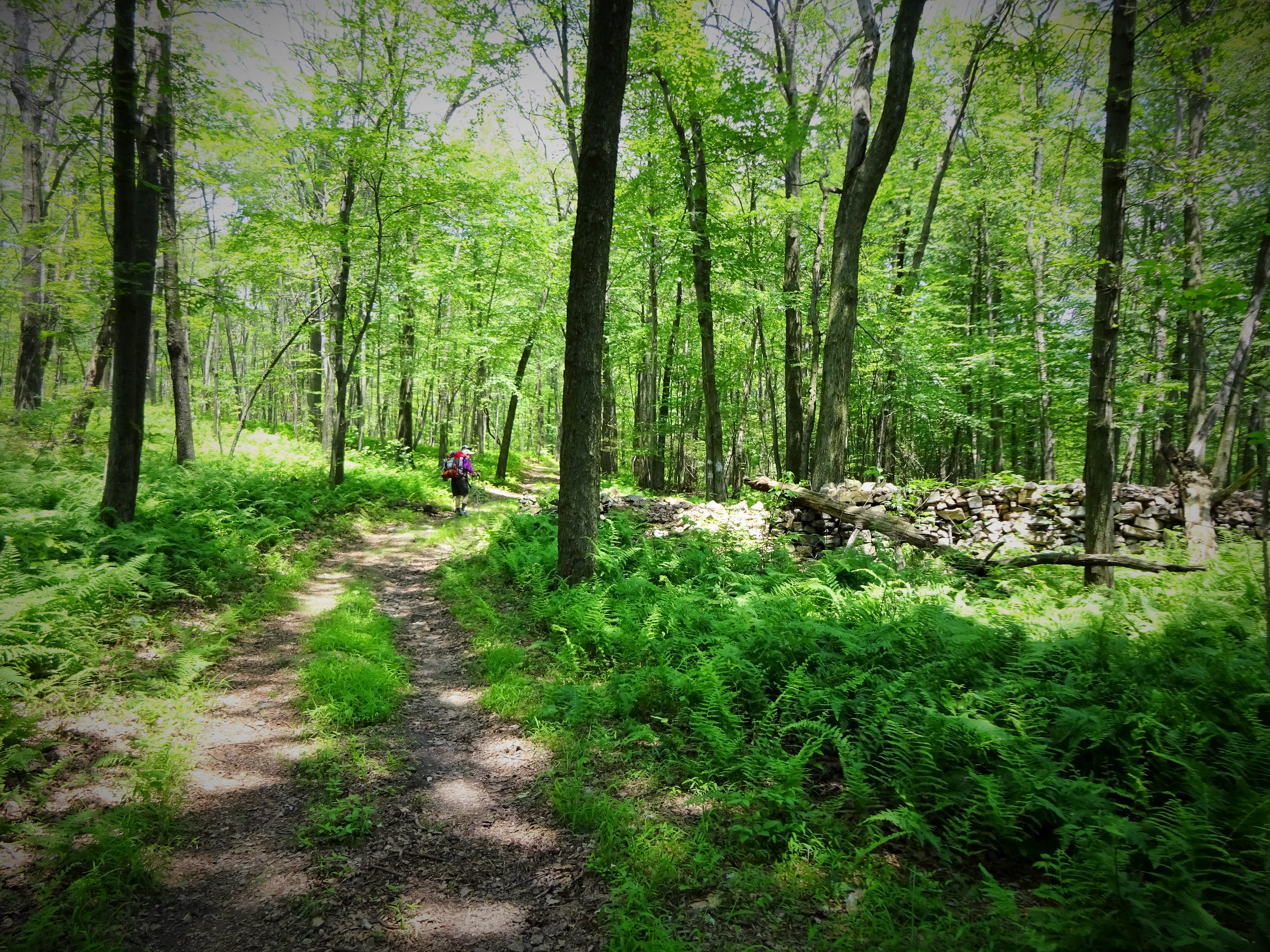
Once at the top, the walking is easy and the views are absolutely gorgeous. I went between feeling like Maria in Sound of Music, to Heidi in …well, Heidi. Wildflowers, cool temps and great breeze. It almost felt like hiking in New Hampshire. 🙂 🙂

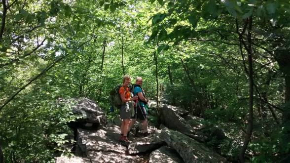
Google on the ridge

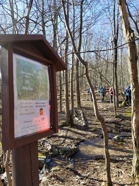
Superfund Sign
To find out more about Palmerton & Environmental Travesty caused by Zinc Smelting you can access the Lehigh Gap Nature Center Site
http://lgnc.org/conservation
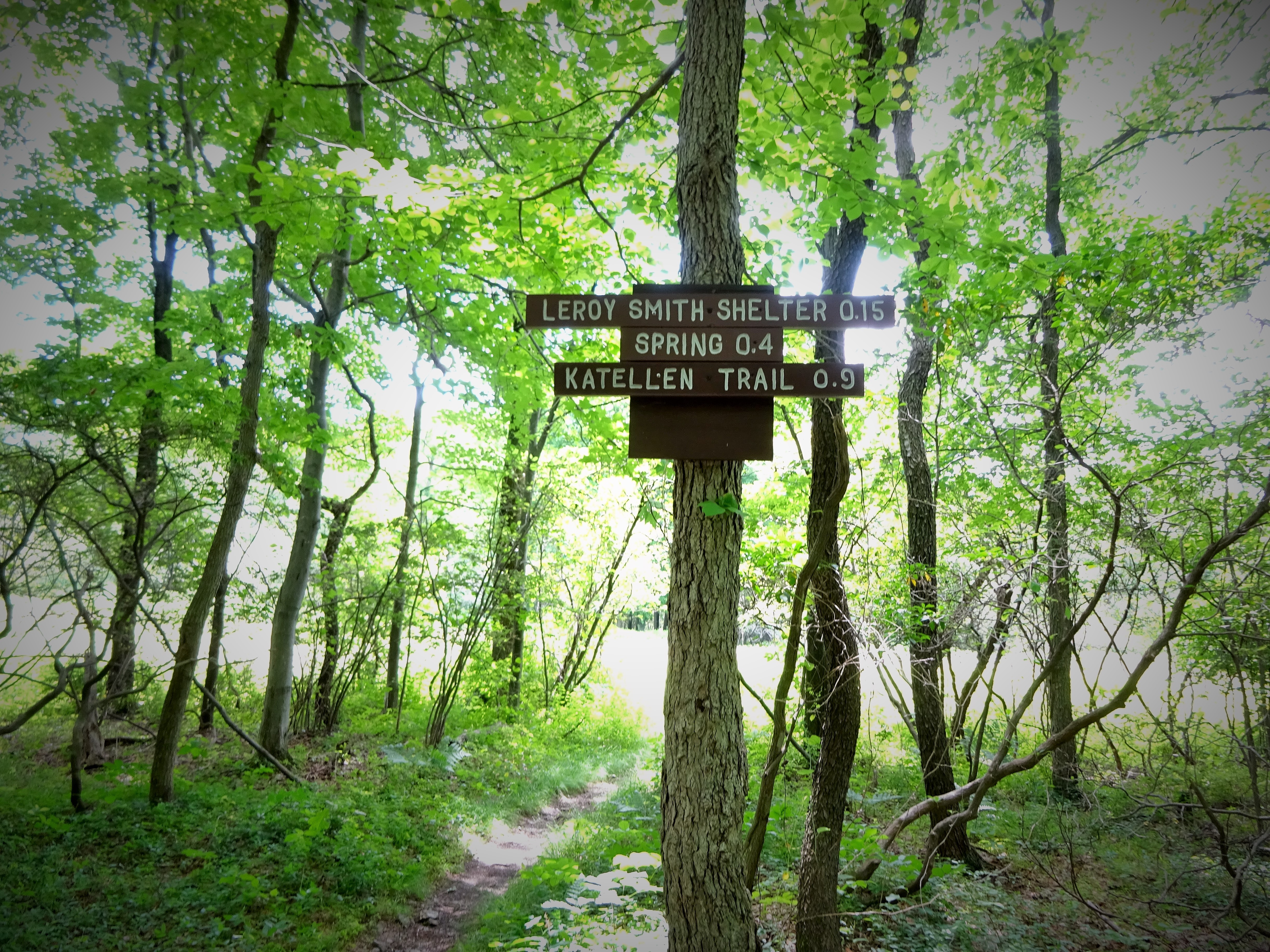
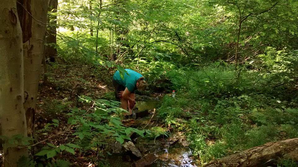
On the approach to Little Gap, Google stopped to talk to the Ridgerunner about the water situation. We were all mulling over different plans in our heads, but none of us was talking out loud about anything yet…just thinking. The Ridgerunner mentioned John Stempa, who we knew from the FB section hiker page. Google texted a hiker friend for his number…then we packed up our packs, refilled on water, WATER…like I was now carrying my full pack and nearly 5, FIVE, liters of WATER. Camel I am NOT!!
Up we climbed out of Little Gap, slowly. Very slowly up a rock jumble hill. Stepping oh, so carefully, I felt the swing of that water and tried my best to stay ramrod straight!
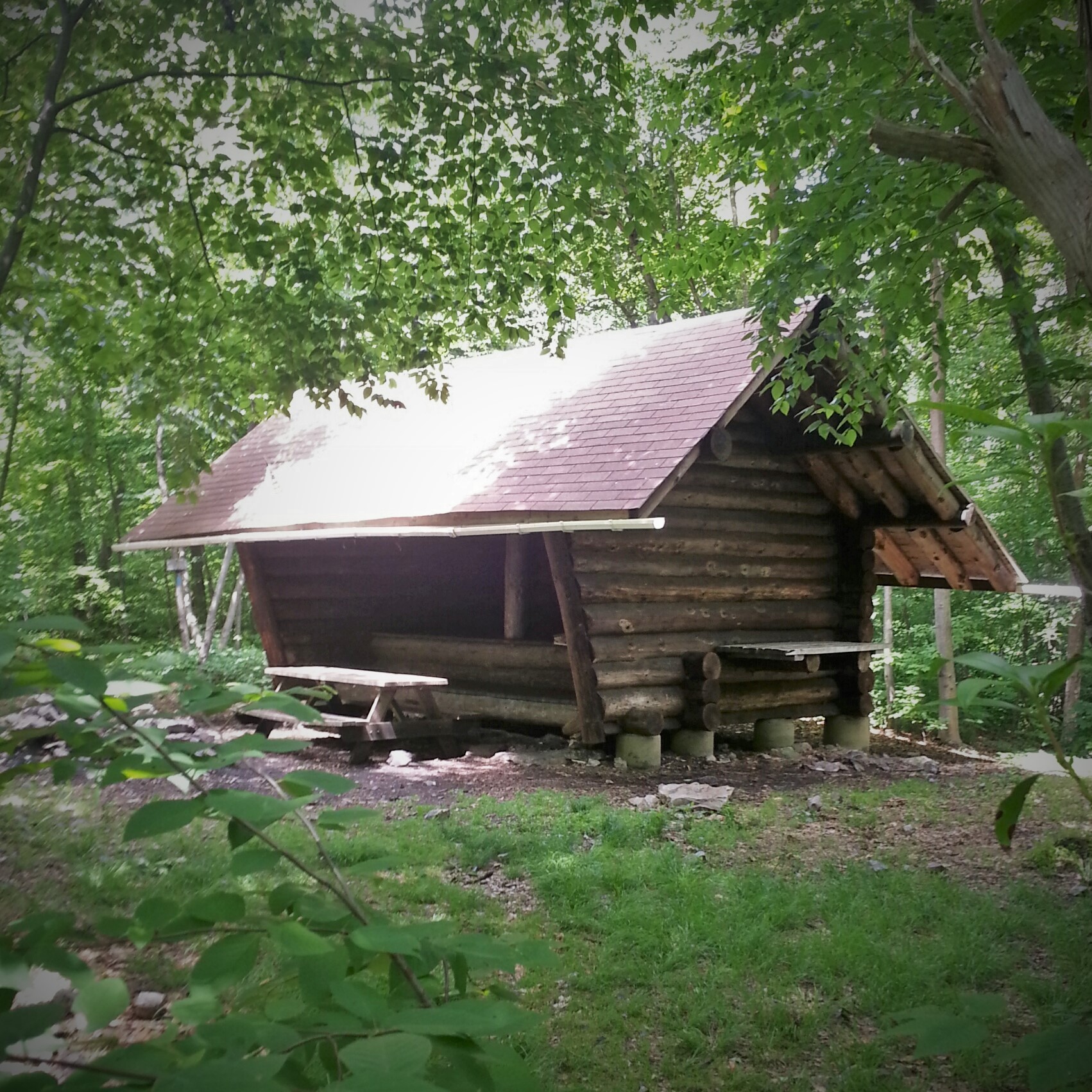
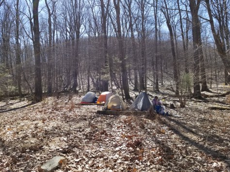
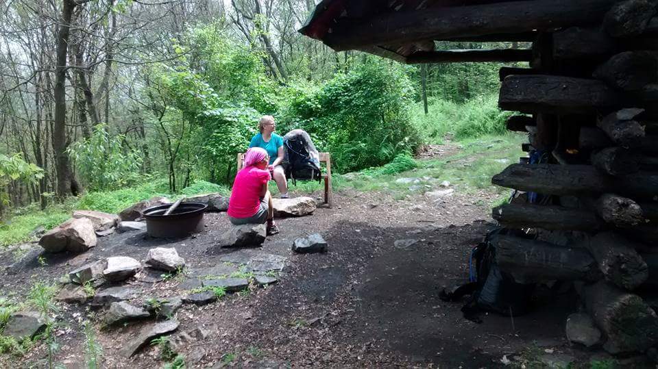
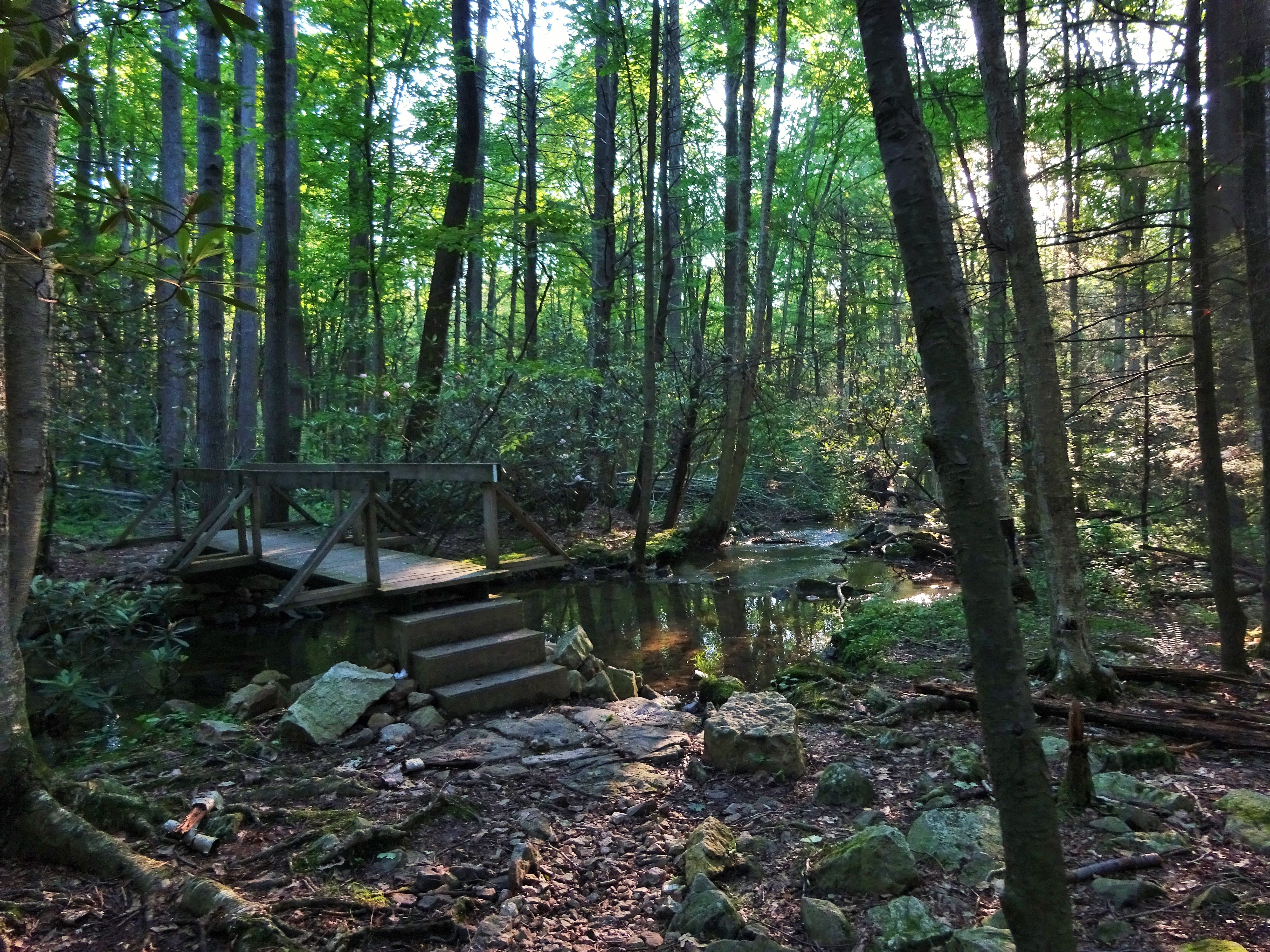
Arrived at Delps Trail and campsite at 4:30 pm. CanDo headed for the woods, while Google and I dumped our packs and started talking. The water situation. We had enough for tonight, but the spring at Delps was dry, so what about tomorrow?

Taking a break!

Nice Campsite, but no water!
We went back and forth. Google checked her phone and saw that her friend had provided Stempa’s number. She puts in a call, maybe he can give more info on the water situation.
John Stempa did more than that! What a guy! He enticed us to hike another 2.7 miles to Smith Gap by offering us showers, water, dinner and his garage to sleep in! We took the bait and hiked that last 2.7 like a boss (after ditching most of the water we had struggled to carry for the last 5 miles).

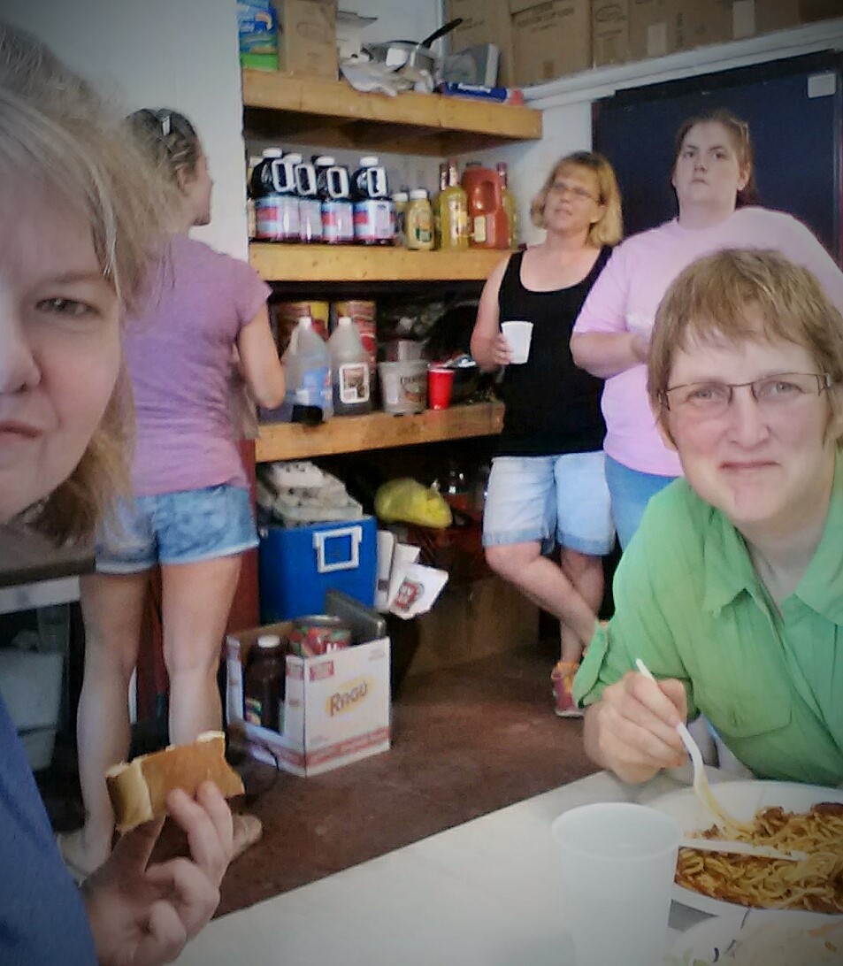
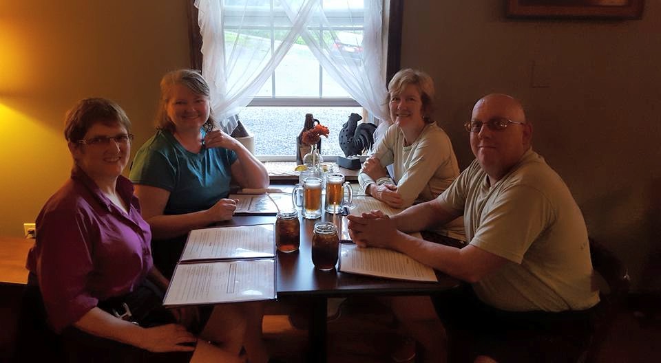
Dinner at the Kunkletown Pub with John Stempa. 🙂
If you are ever hiking in the area, look him up…a Trail Legend! $10 to stay at his place, extra for dinner at Kunkletown Pub!
Delaware Water Gap or Bust…Hike On!


")