Big Meadows, in Shenandoah National Park, is a place that is as much spiritual as it is physical. From a picture or a drive by in the car it may just look like another big field. It is so much more.
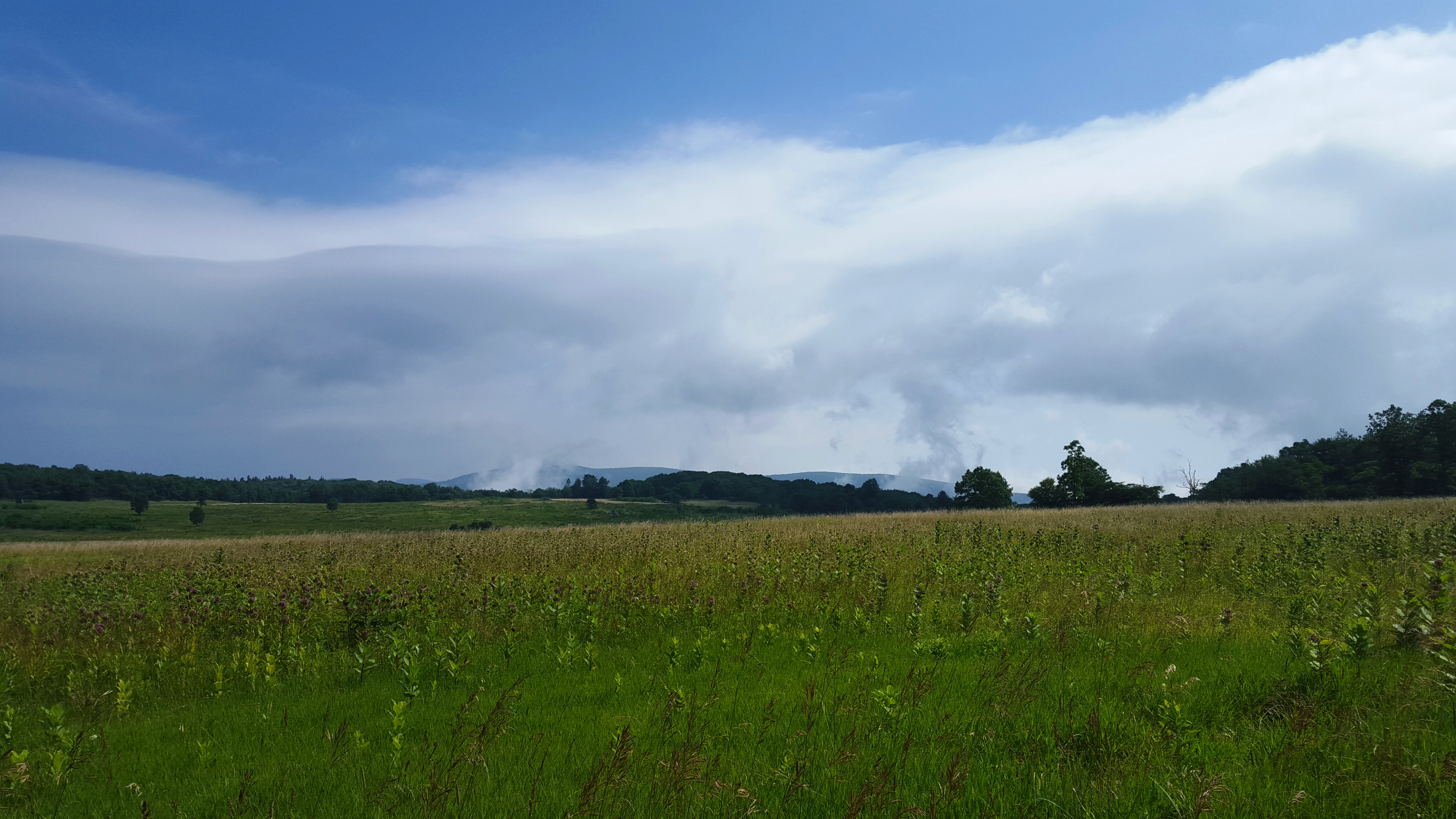
Big Meadows
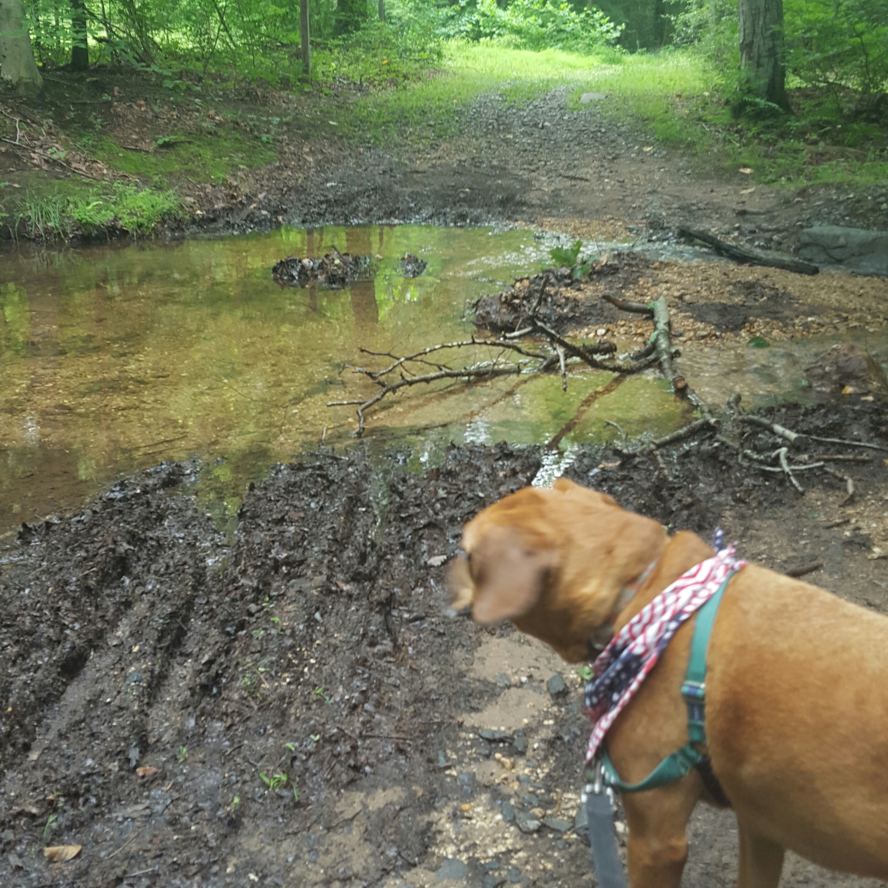
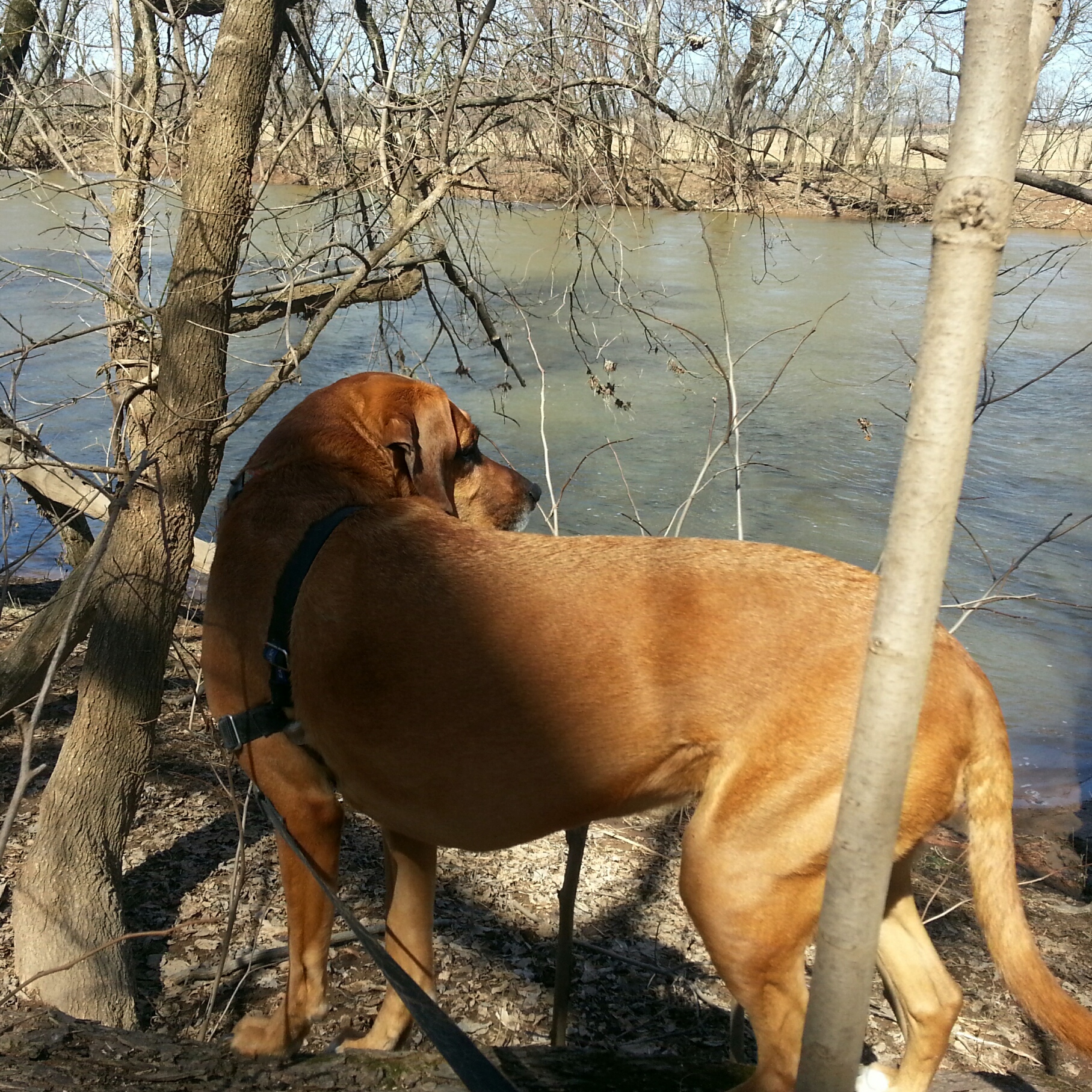
We set off Friday morning with the dogs to wander around this area before the throng of weekenders descended.
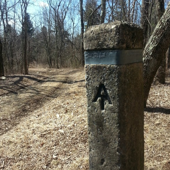
It is probably best to forgo a heavy regimented hiking plan in this area. There is no map for the meadow, and we usually just kind of wander around, feet following our “oh!” and “ahhh!” moments. This doesn’t mean there are not any trails. There are MANY trails, all made by deer as they criss-cross the meadow in what seems a haphazard, confusing fashion. Once on a trail and fully immersed in the meadow it begins to make sense as our feet find our own crooked, nonsensical route to happiness. 🙂
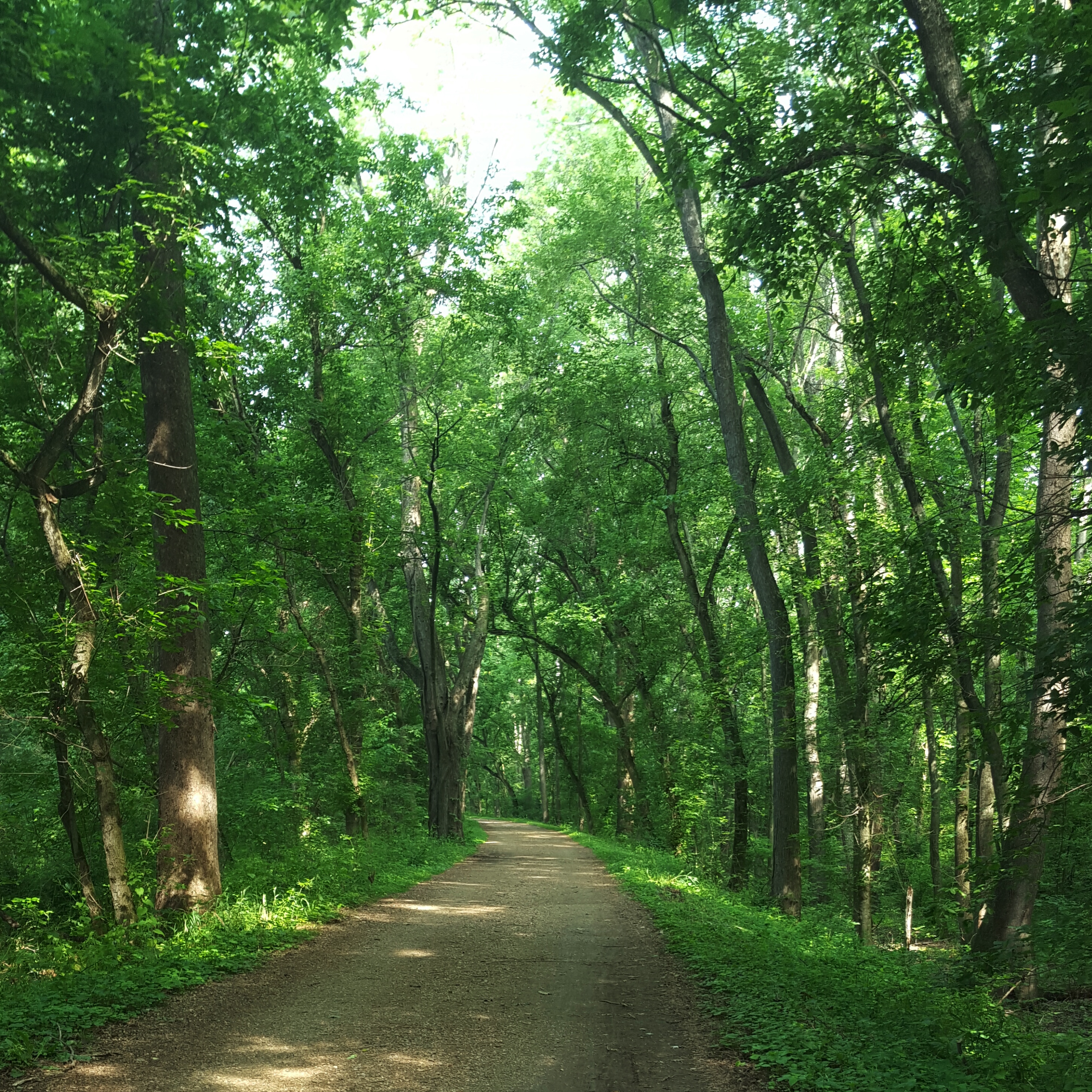
Since the dogs were with us today and we wanted to avoid the ticks, if possible, we walked down the road to Rapidan to the trail head for Stony Mountain trail, then back. We think it was about 4.5 – 5 miles in total.
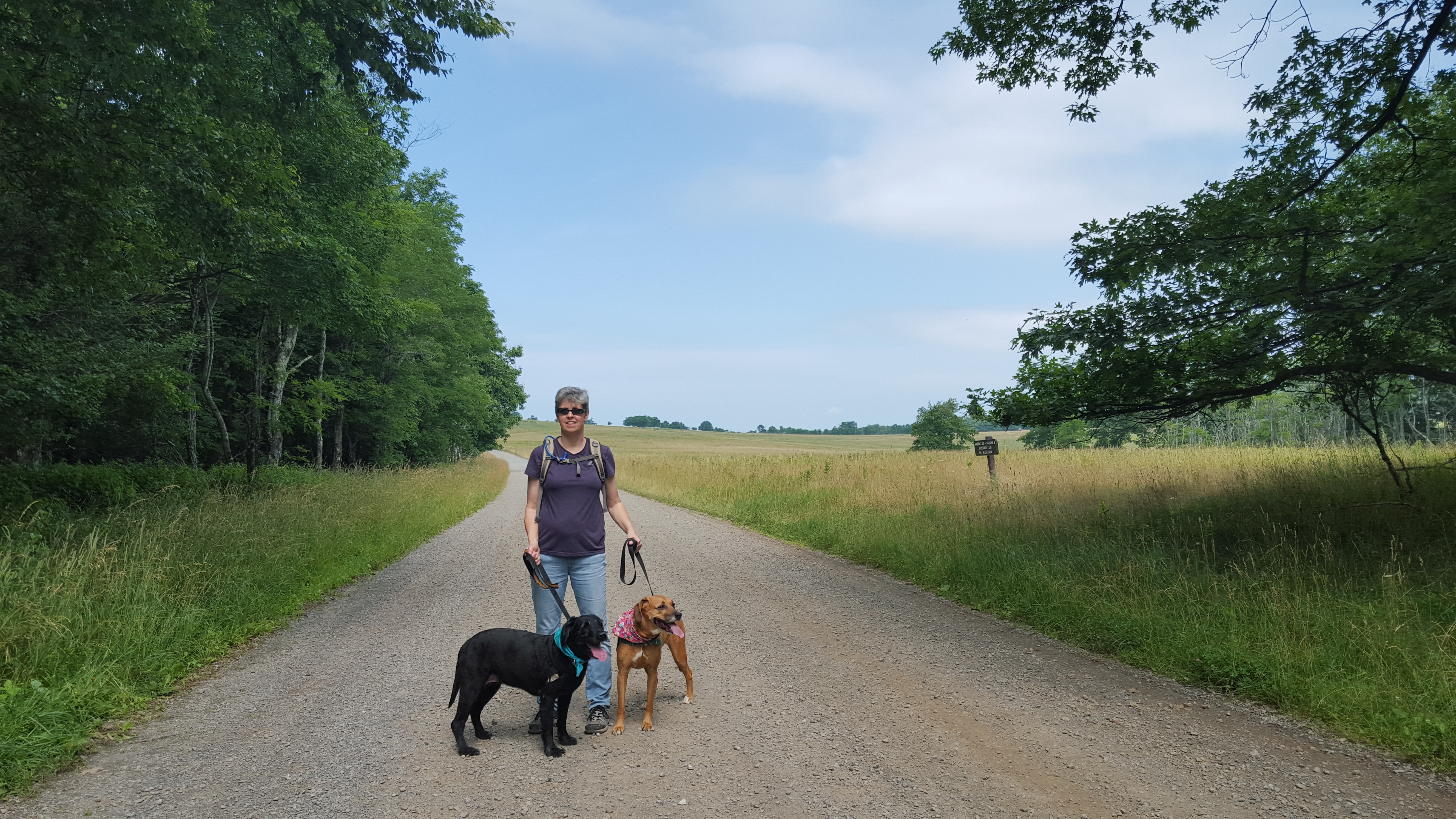
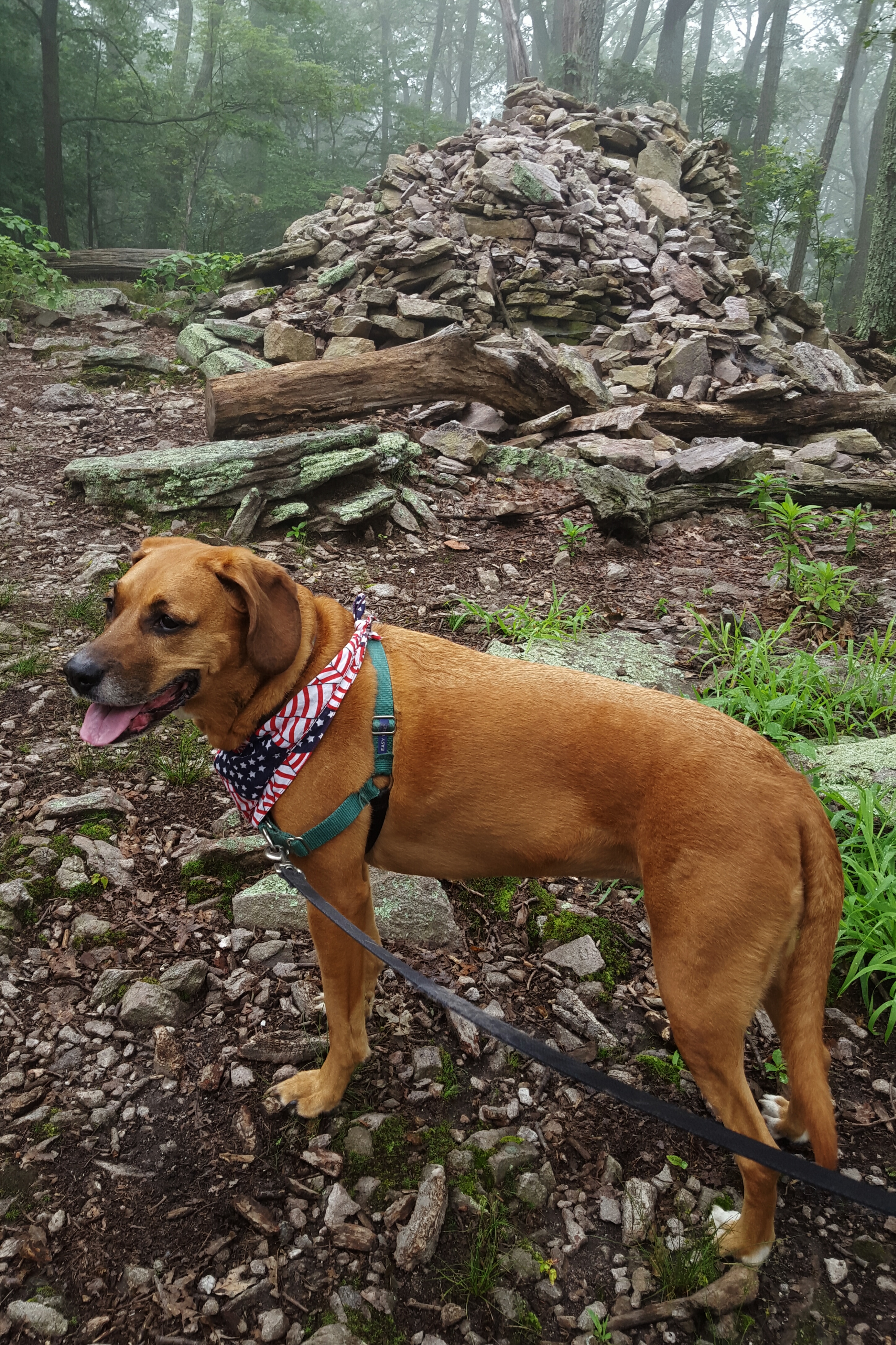
Little Caesar with Farmdog Jett & Sidekick Pauli
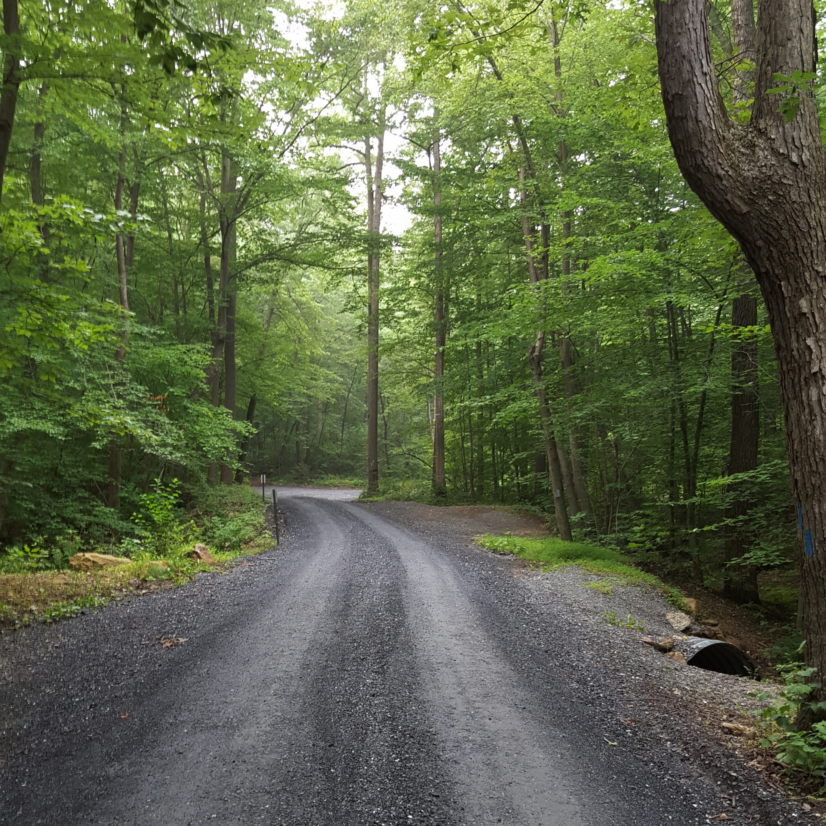
Taking a road like this one is deceptive because even though it seems flat, it is descending. On a previous hike, we walked up this road from Rapidan, Hoover’s camp…and it was six miles of not so fun! 😉
Today, however, with a bit of fog rolling over the trail from time to time, was quite pleasant.

Walking down the road to Rapidan
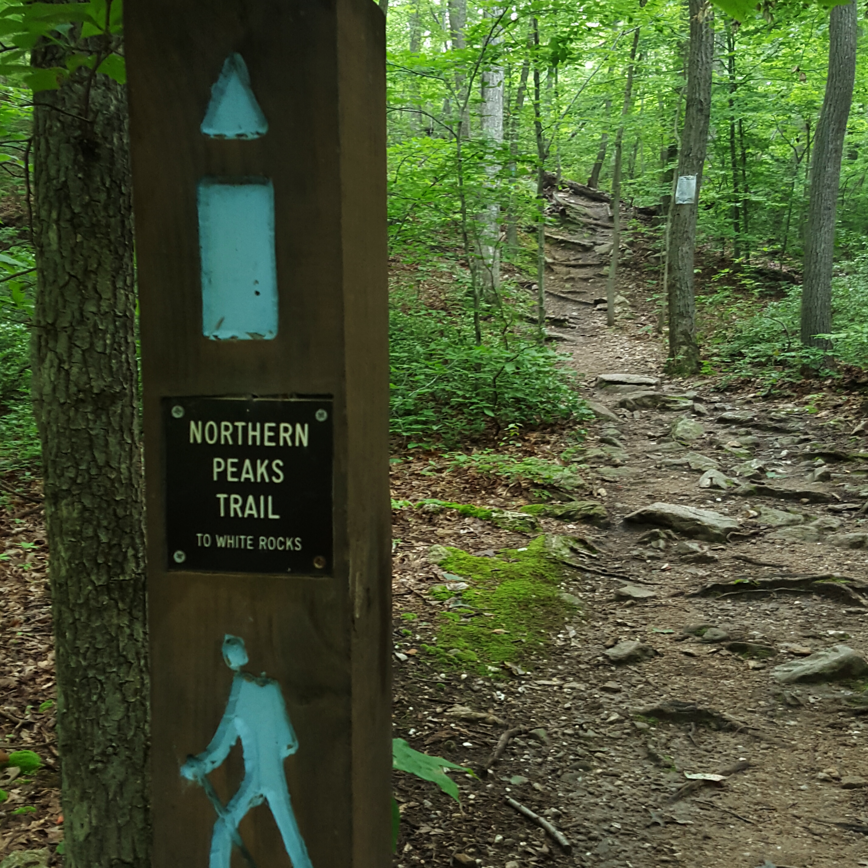
The road has some hairpin turns! The trail head for Stony Mountain trail is located just off of the first big hairpin turn. This was our turn around point.

The first big hairpin turn, along with Little Caesar and Farmdog Jett.
On the way back up I wasn’t paying a lot of attention to the road, having drifted off into la-la land. All of the sudden, I was looking down on a rattlesnake! Both Sidekick Pauli and myself jumped, then skittered over to the other side of the road, while I was yelling “Holy Crap-a rattlesnake”!! Once a safe distance away, I asked aloud, really more to myself, “Why no rattle? Why did he not warn us?” then as I took another look figured out he was probably dead. I wasn’t going to prod him to check it out, but I was pretty sure. I snapped a picture and moved on.
Looking at the picture later, I confirmed that he had to be dead. Still…what a shocker! I kept to the middle of the road after that!!! 🙂
The best reason, in my opinion, to visit Shenandoah right now in the middle of hot, hot summer are the wild flowers and the fungi! These made climbing back up the road not so bad. We were also lucky to have that rolling fog which kept us cool throughout our hike.
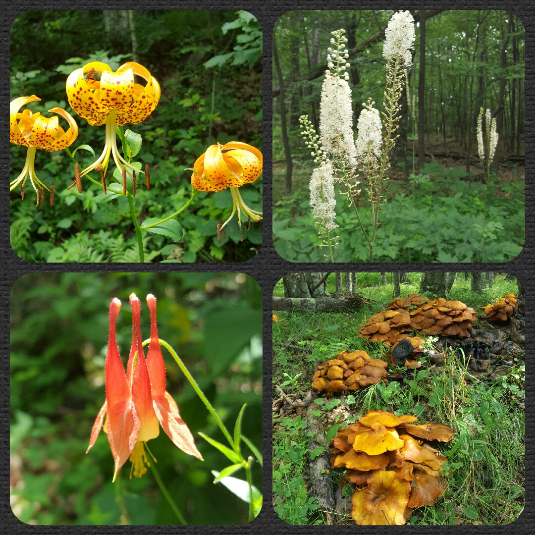
Wildflowers! And a Fungi!
The fog greeted us as we left the woods and made our way back across the meadow.
An everchanging landscape…brightly sunny to dramatically foggy.
In the meadow, hike on!
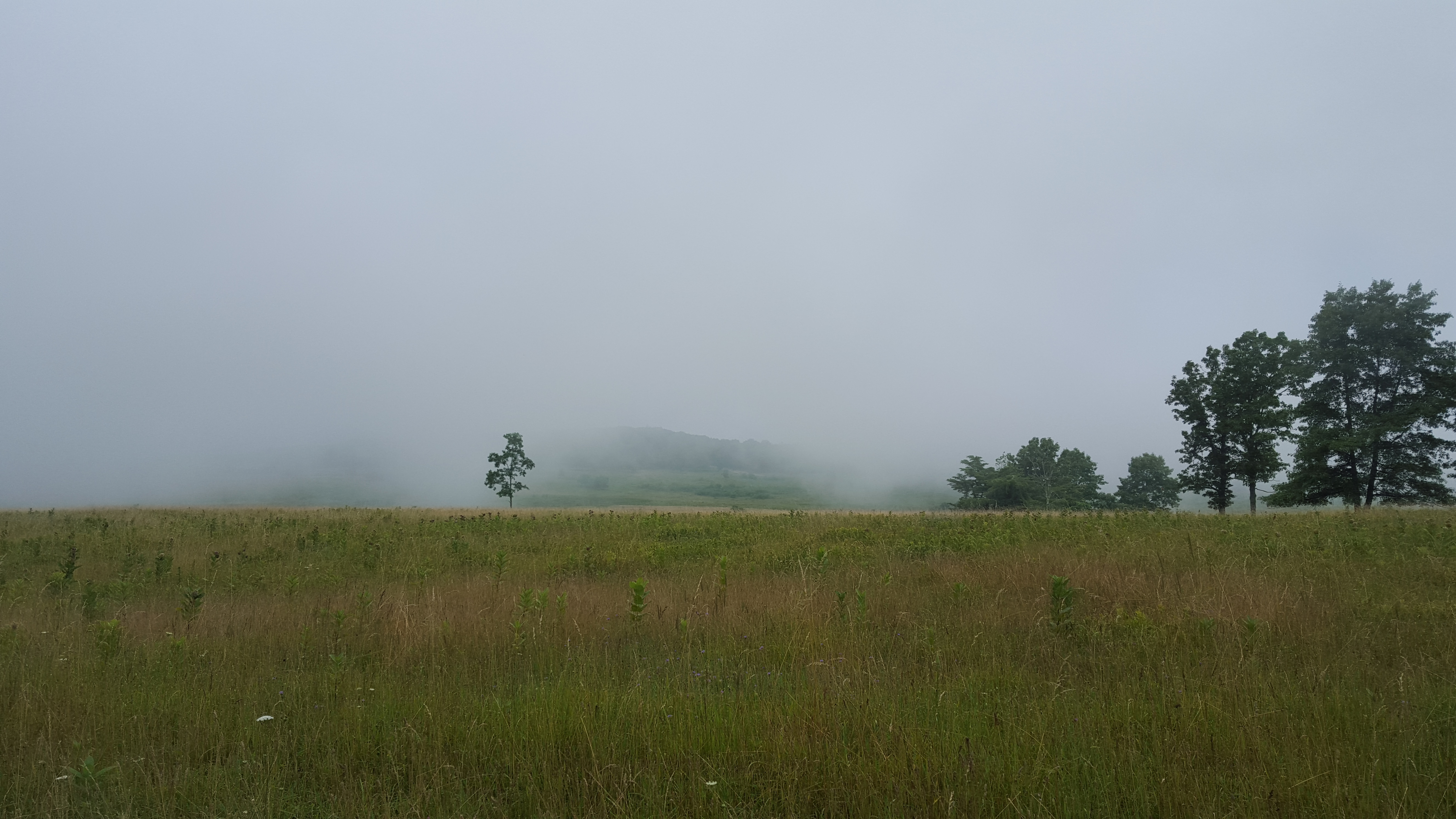
Myterious? Melancholy? Fog settles over Big Meadows