Green Ridge State Forest is, as yet, untapped hiking opportunities for me. I set out to scout the Pine Lick Trail with a couple of other hike leaders from the Maryland Trail Dames.
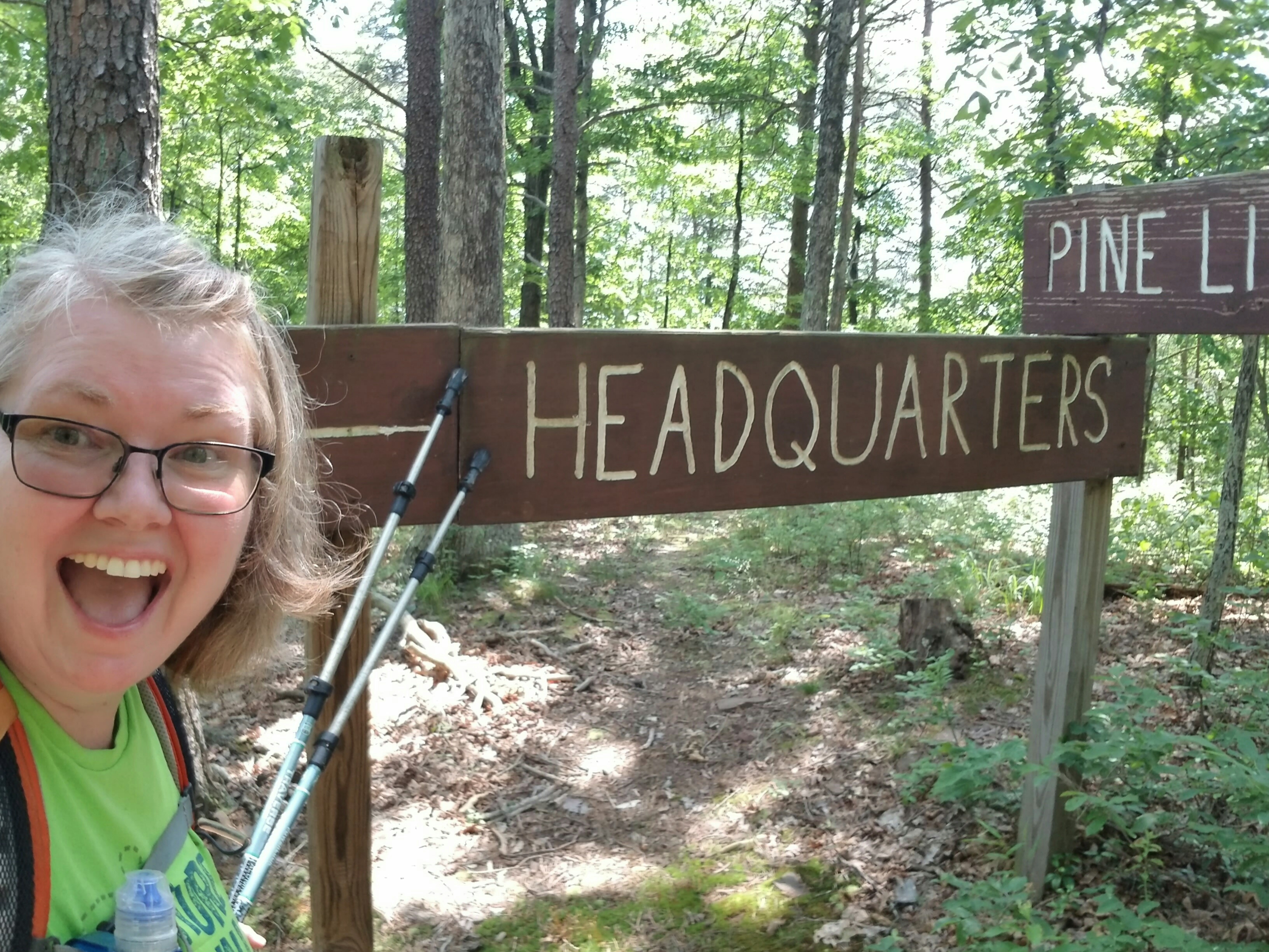
After meeting at Forest HQ off of I-68, we piled into my car to find the beginning of the trail.
Google maps got us to an approximate location, then we were on our own. Luckily, we spotted a blaze from the car! Nothing that looked like a trail…yet.
Dropped pin
Near Pennsylvania
https://maps.app.goo.gl/2NrhSACYwG25eUQ37
Spotting a trail sign down in the woods, I high stepped over some poison ivy and other brush to investigate. Success! We had found the trail!
Now to park…sketchy at best.


The Pine Lick Trail meets up with the MidState Trail here. The MidState Trail goes north to Buchanan State Forest in Pennsylvania.
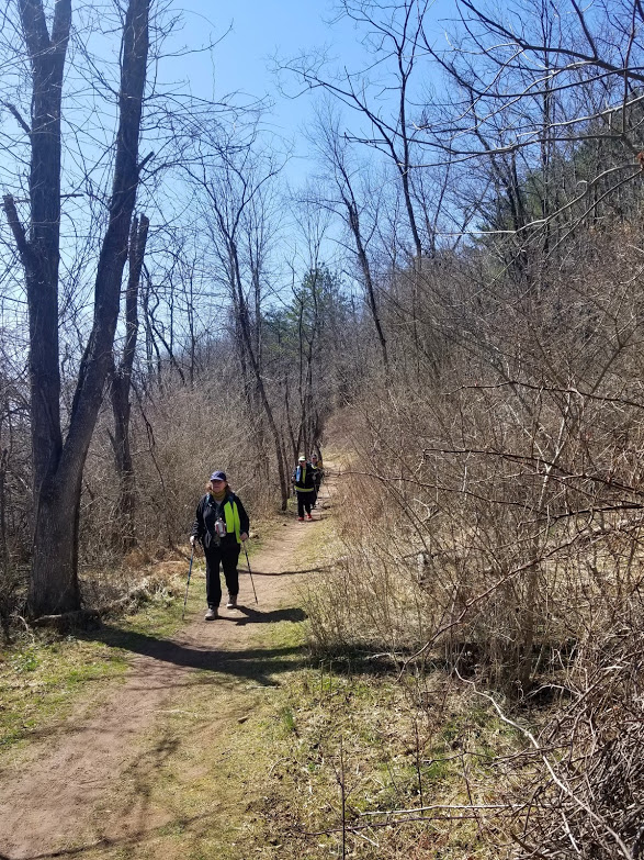
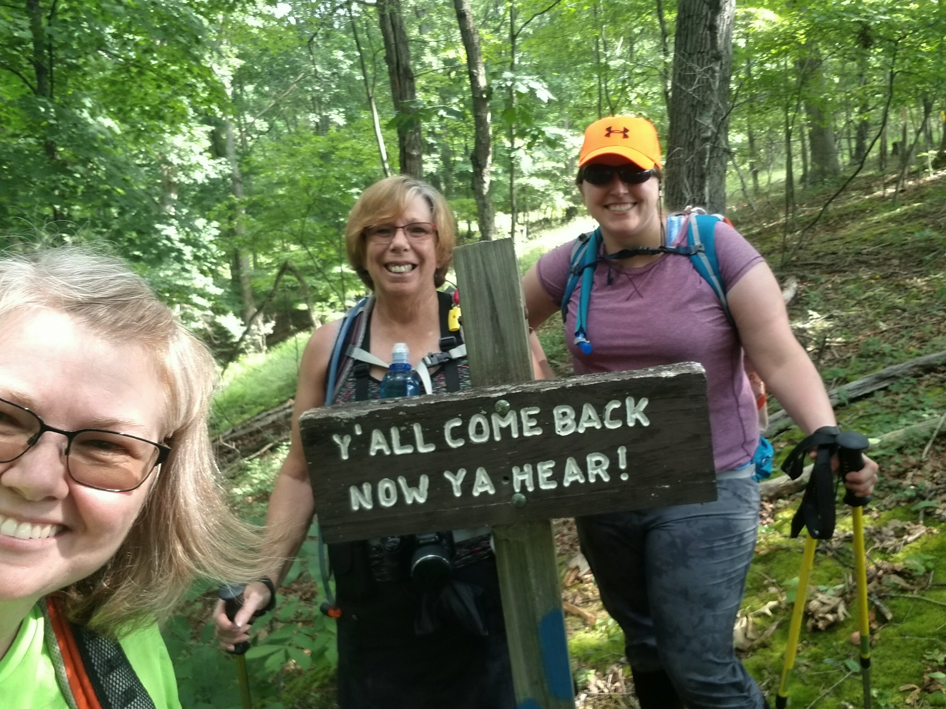
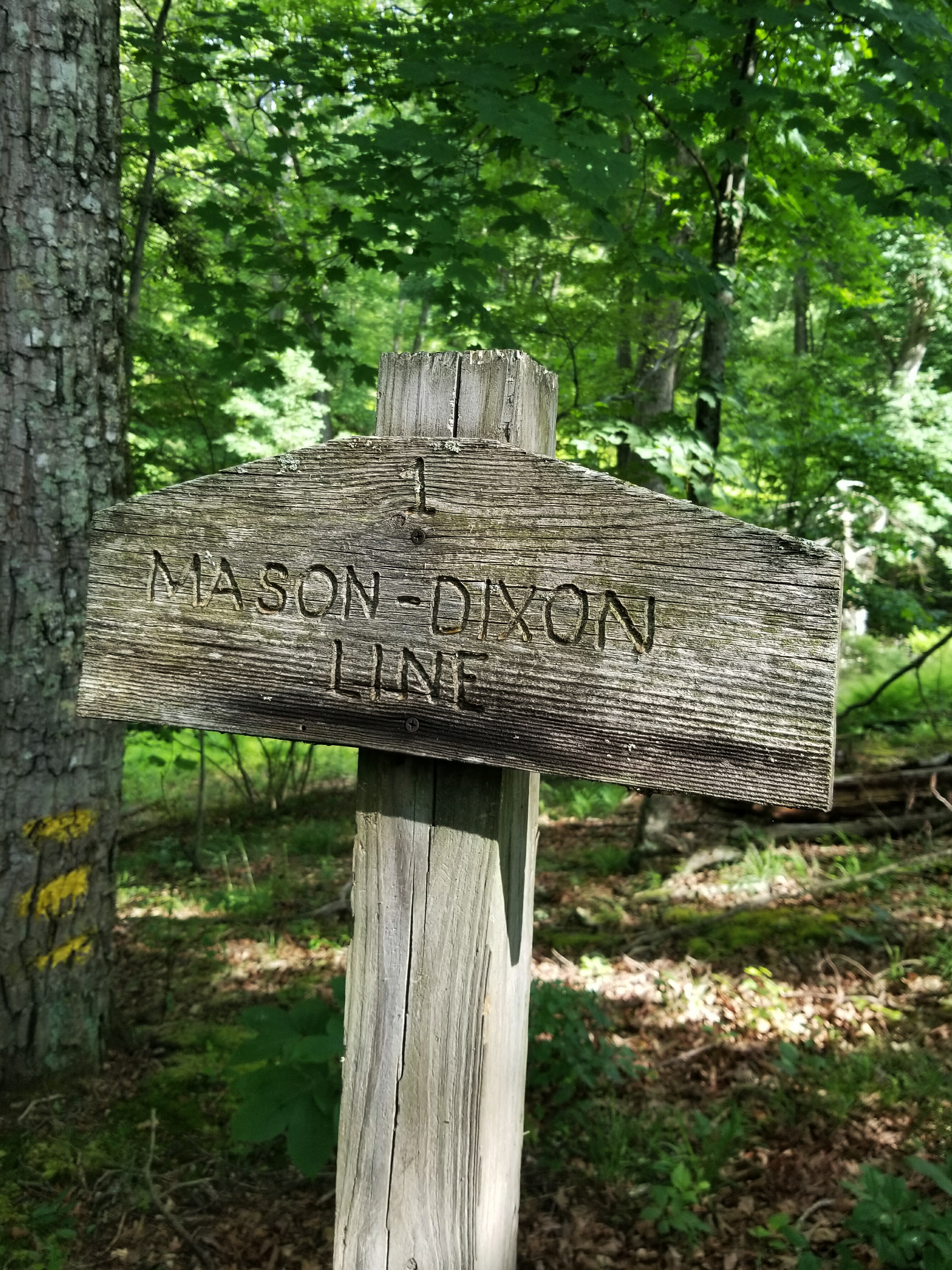
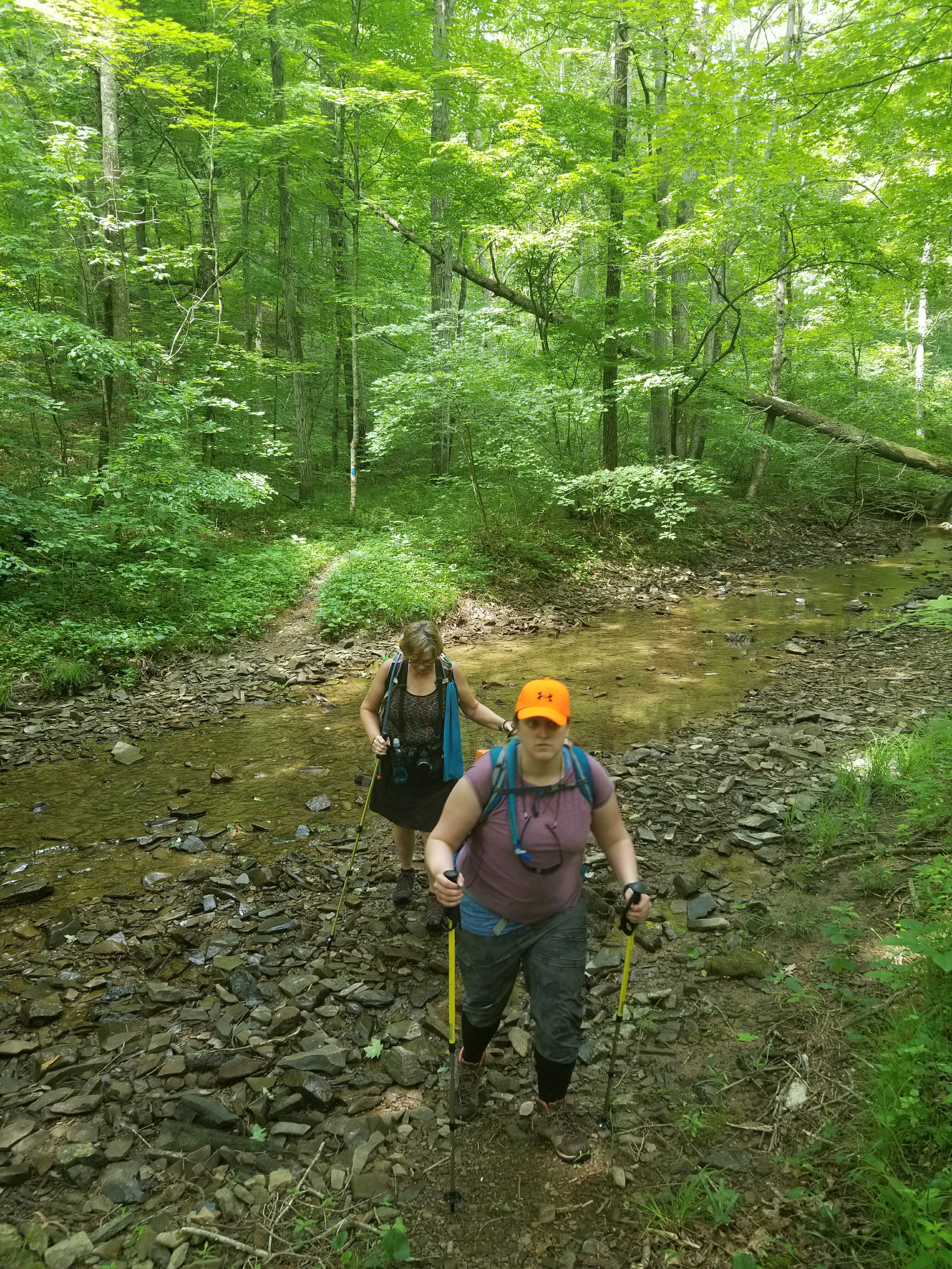
We took a pic at the Mason Dixon Line, then set off going south. It was 6 miles back to HQ. We were excited to see what we would find!
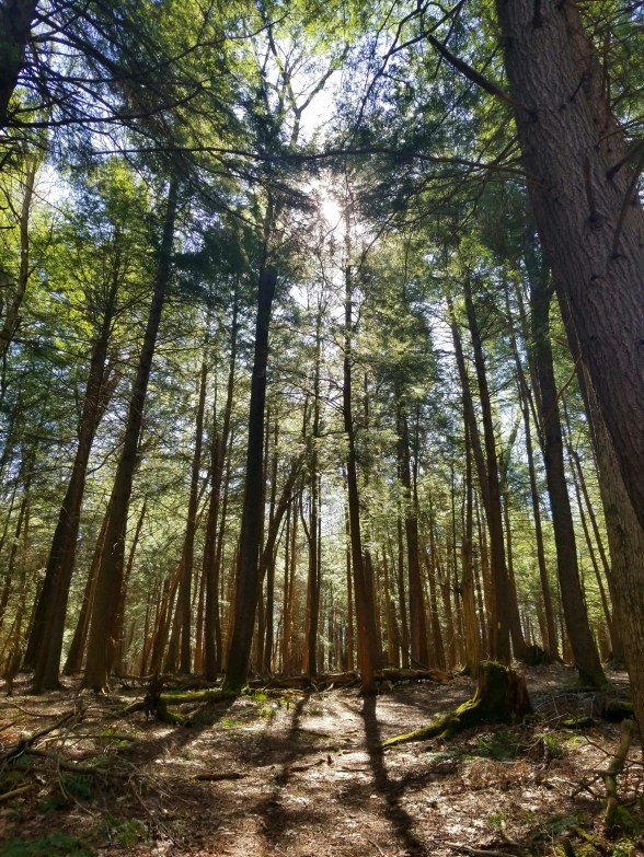
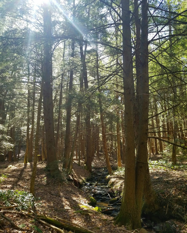
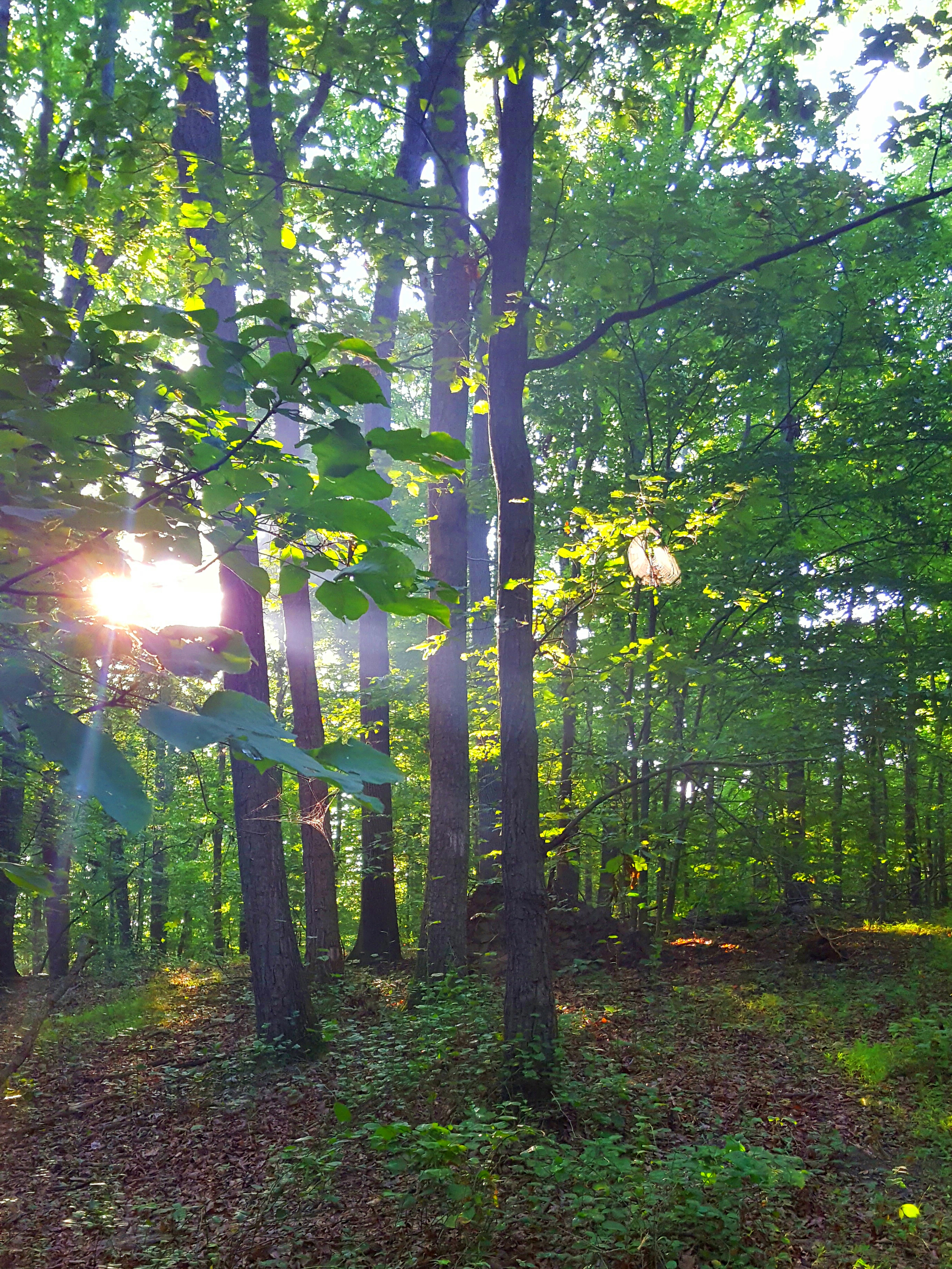
A few small hills, then level, flat, soft trail. What a delight!
There were several trail signs to keep us motivated and frequent blazes. 😀 Very easy to follow the trail, even though it was overgrown in many places!
What the heck does “SNAG” mean?
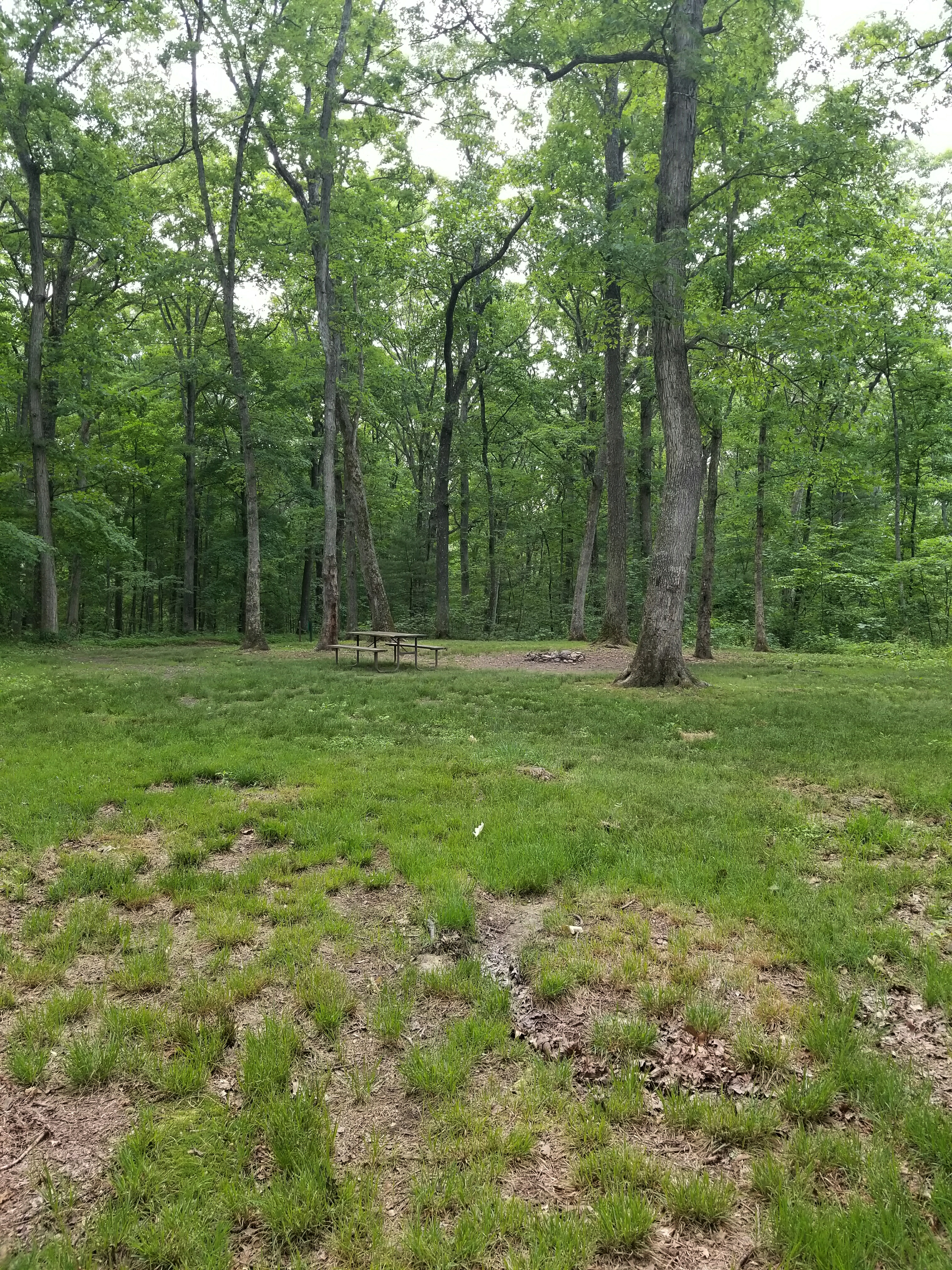
We passed a massive, lovely campsite…and it only costs $10 a night!!!
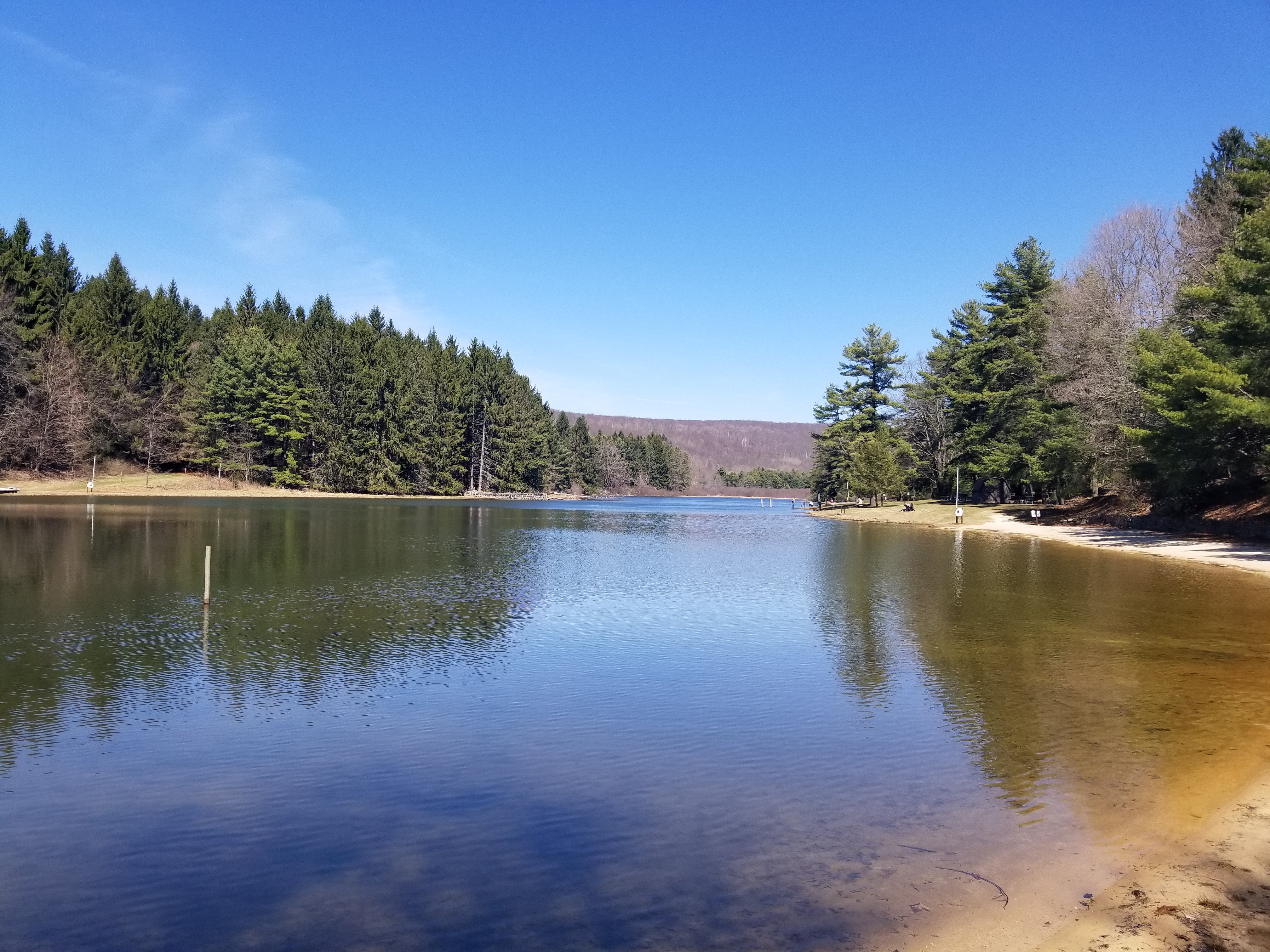
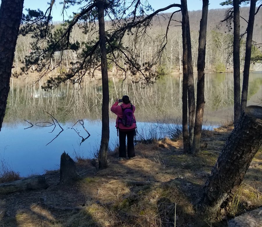
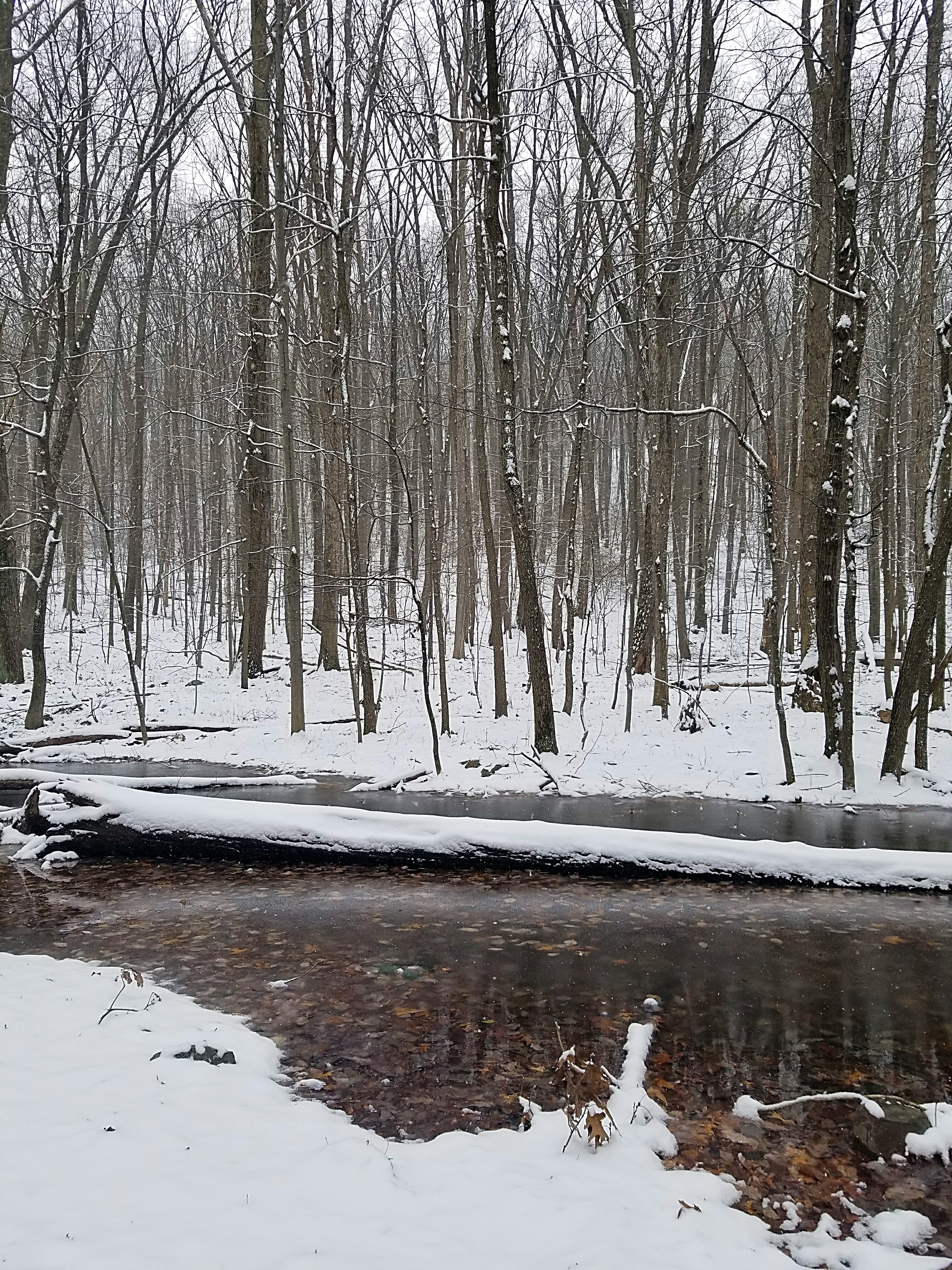
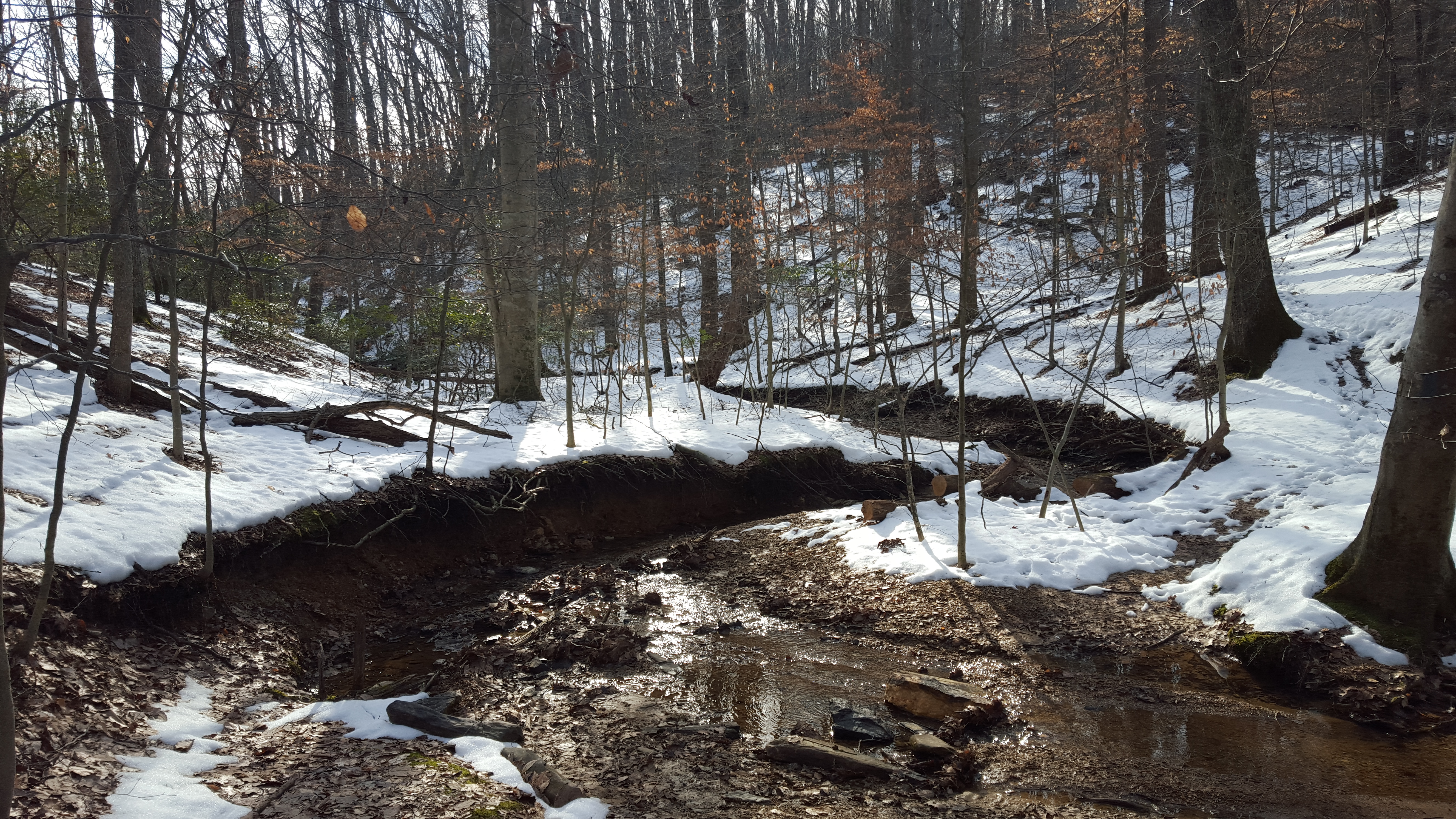
Just after, a beautiful meadow, then we descended to the bottom lands near “Fifteen Mile Creek”. The trail follows, and crosses, the creek many times. This included rockhopping, crossing on one super sloping bridge (a sign later on said this bridge was closed), and some log crossings.


Just before the super slopey bridge, we had come across a swimming hole that looked mighty inviting. Making plans for a “Dog Days of August” hike and swim adventure!

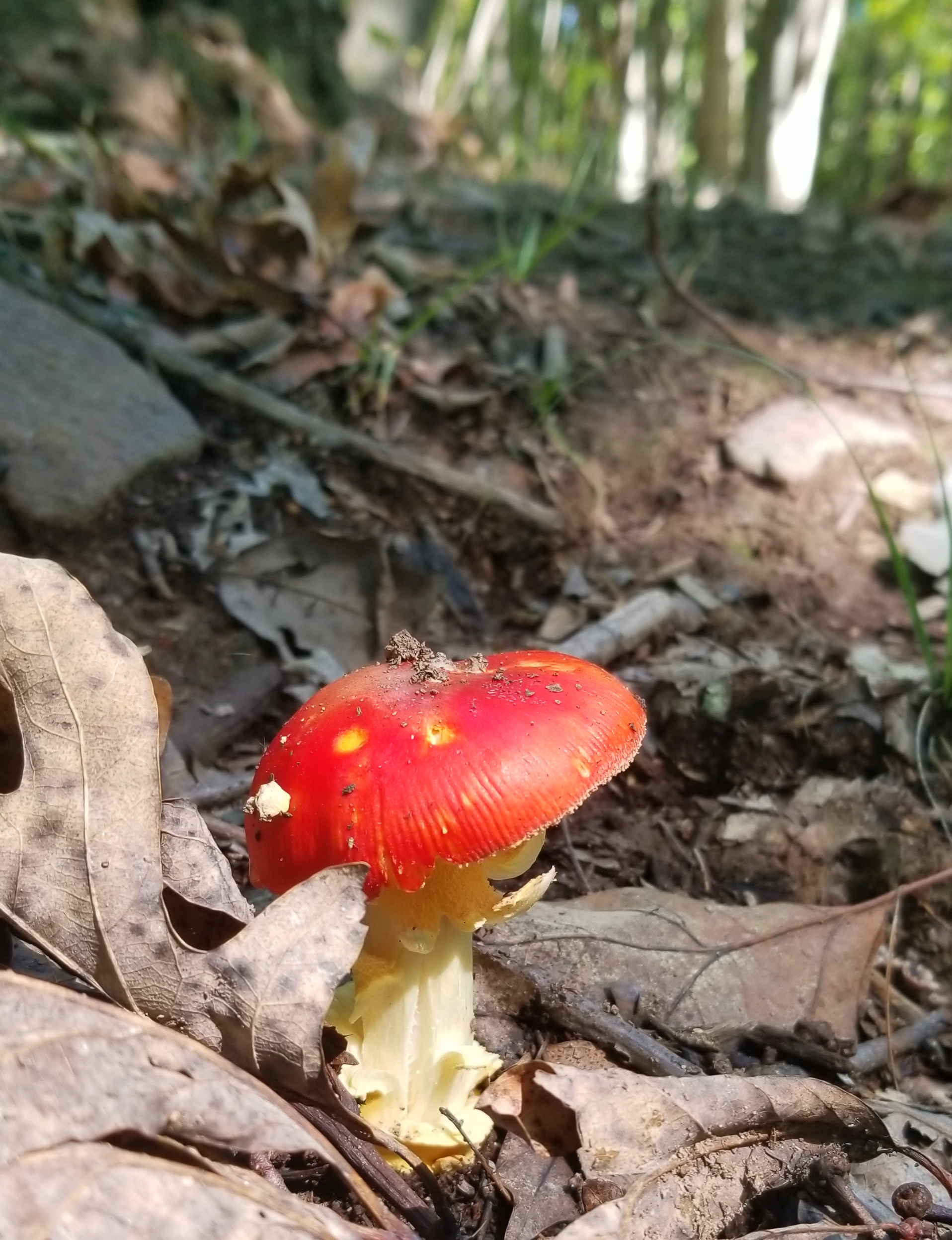
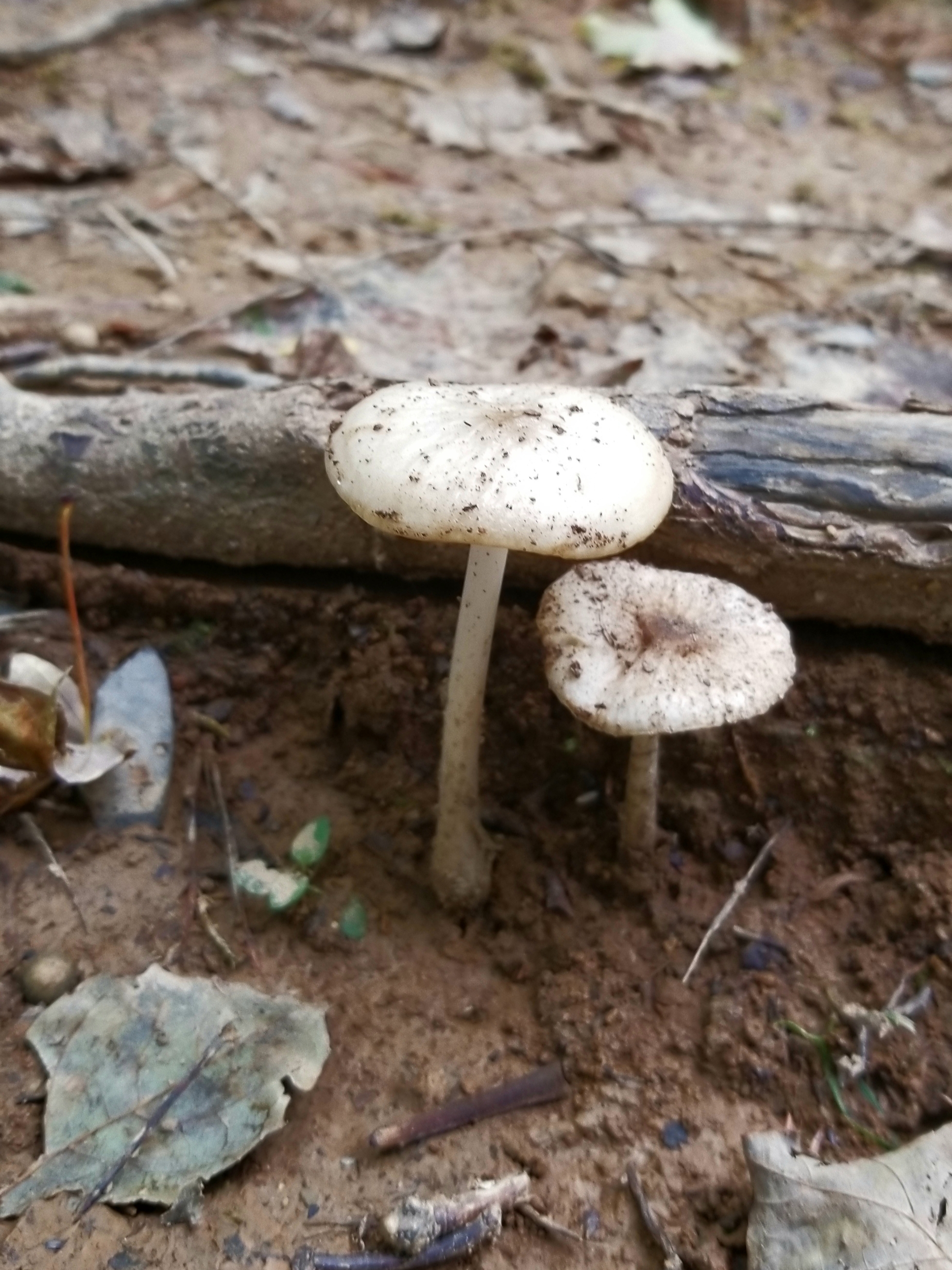
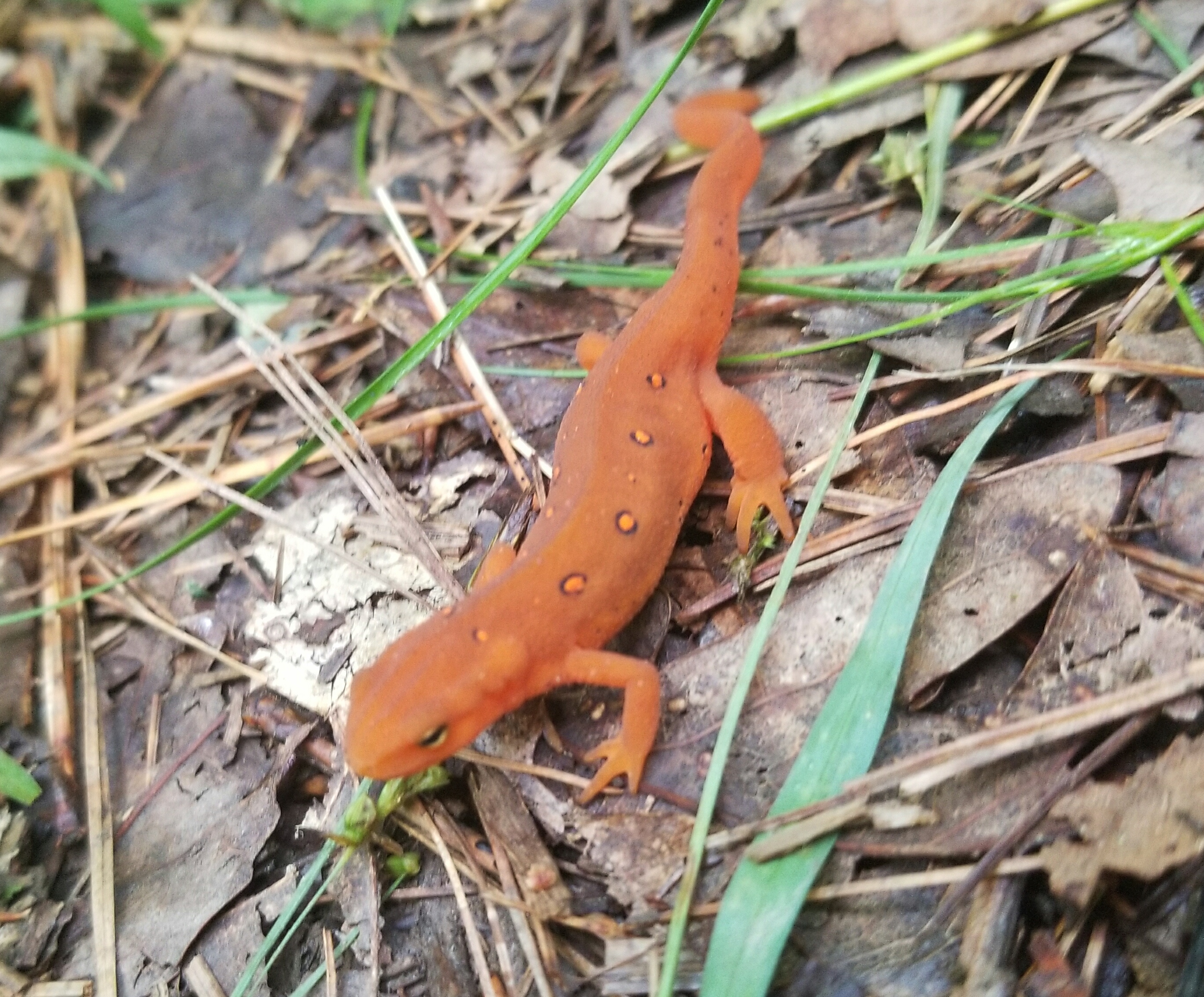
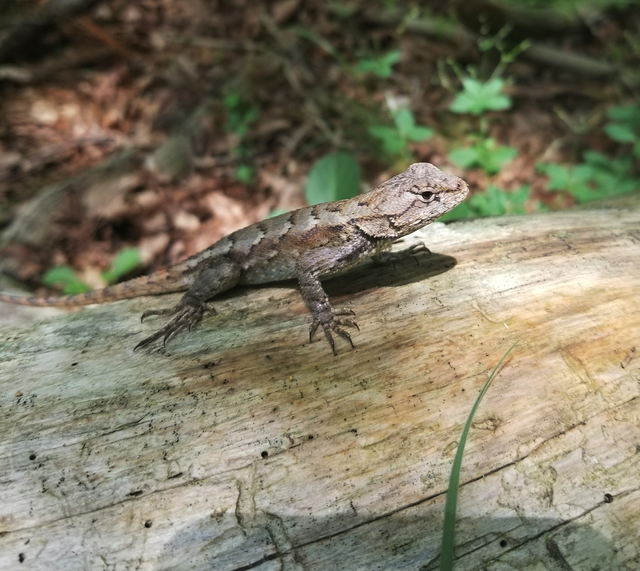
I was surprised that we did not see any bears! We flushed out a wild turkey accidentally, crossed paths with a few newts, salamanders, lizards, and one Wolf Spider…but no bears.

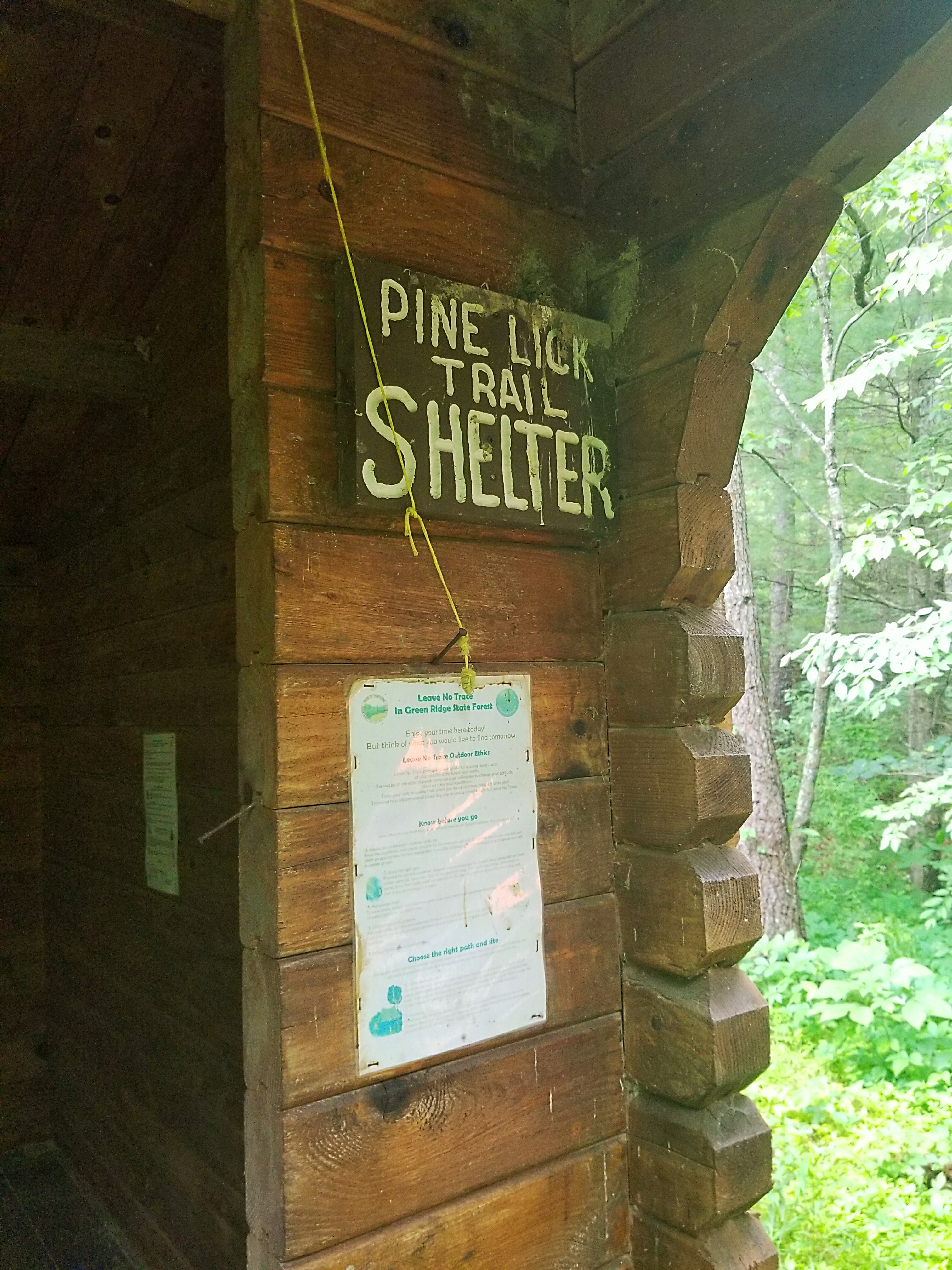
Coming upon the Pine Lick Shelter, we stopped to check it out. The area behind the shelter looked like a jungle.

We stopped for lunch at a backcountry campsite on the banks of the creek. Then it was up, up, up a very eroded hill. It felt like if we made on wrong move we would slide all the way back down!
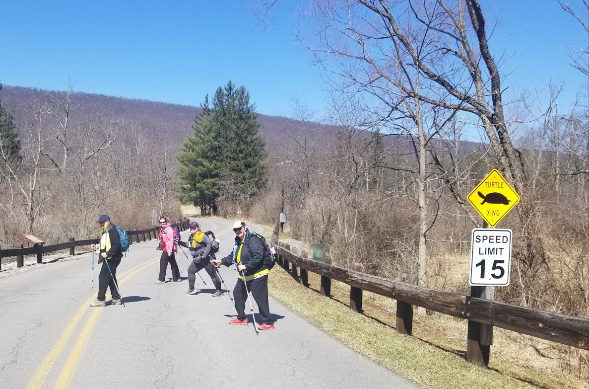
As we neared I-68, and yes, the trail gets so close to the highway you could literally jump over the guard rail!
Before that, however, we again met with overgrown trail.
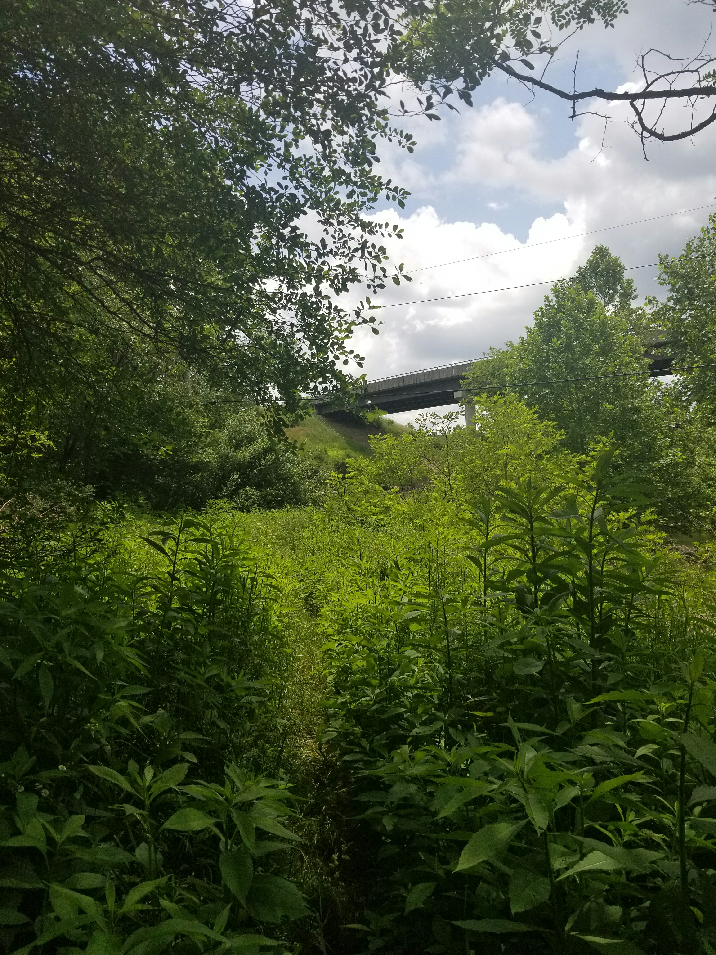
Parting the way with my hiking poles, we slowly made our way through. No snakes, yay!
On the other side of the bridge we lost the trail for about 10 minutes because it was so overgrown. However, we knew we were in the right area, so once we did find a blaze, we backtracked to see if we could determine where we had gone the wrong way. We are pretty confident it was just after coming under the bridge. The trail goes left up the hill, we had continued to follow the creek. (Our way was less overgrown…I do not regret our path!)
Up, up, up again!
Three hot climbs later and we were happily, finally, back at the car! We recorded our trek at 7 miles. Here are the official specs…hike on!