AT-PA Rt. 501 to Swatara Gap Rt. 72

The last section of Pennsylvania!!! Woot!

It wasn’t clear whether I was going to be able to get this state done before the end of the year.  I was determined, however, and put an all out call to any of my Facebook friends who might want to do this last 12 miles with me…and one of them said YES!!!!

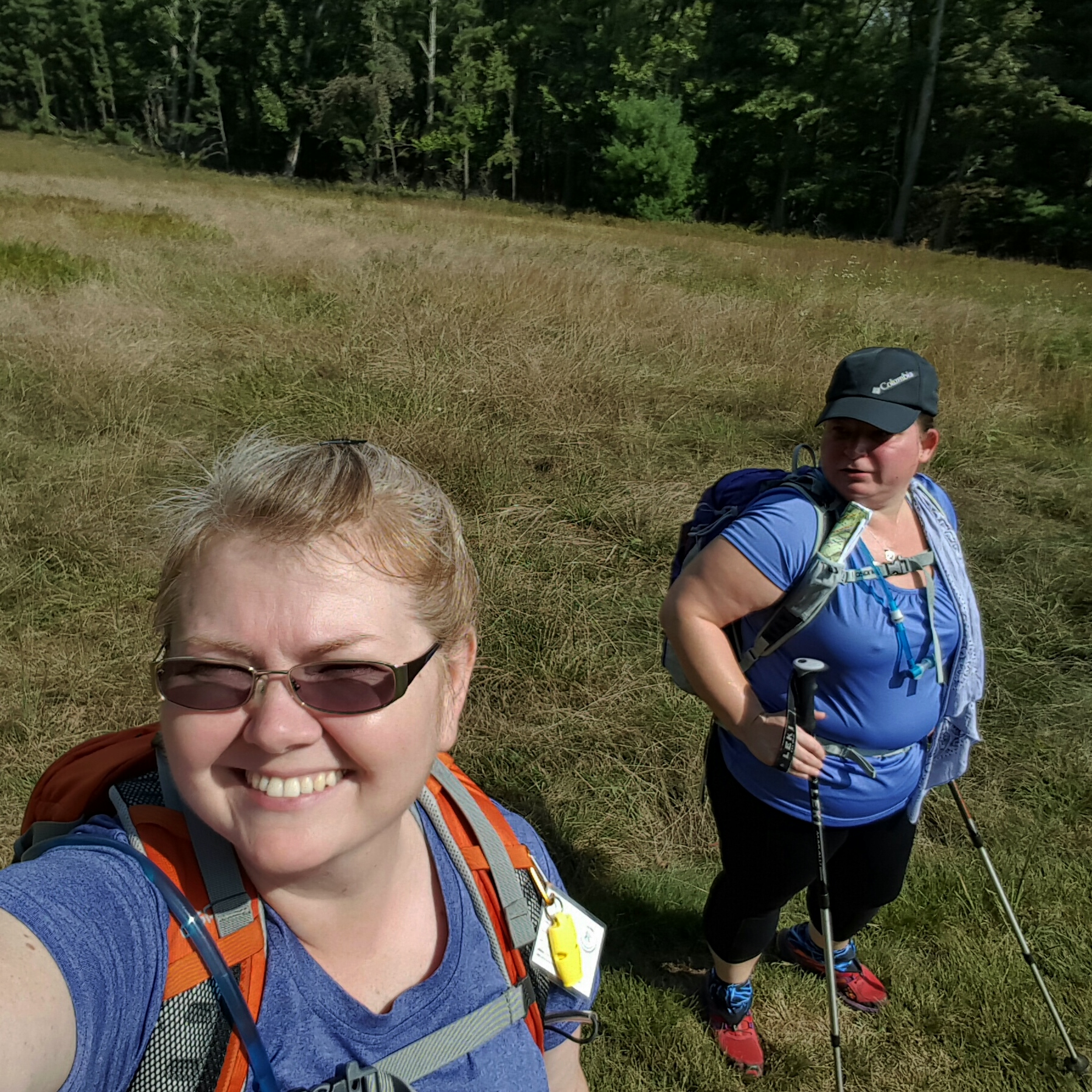
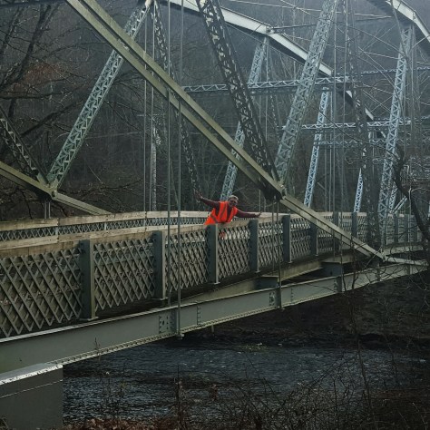
My friend, Lola, and I opted outside on Black Friday!  I had to leave pretty early from Frederick, Maryland to get to Swatara Gap by 8:15 am.  I pulled up beside the iron bridge with time to spare…only to notice that there are new signs declaring cars will be towed.  Well, this is new to me.  The last time I was here it was okay to park on the side of Rt. 72…NO MORE!  So when Lola cruised in behind me a few minutes later we backtracked, going around to the back of the creek, on the old State Road, in order to park in the “real” parking lot.  Just an fyi folks…no parking on Rt. 72 anymore! (maybe it was always illegal…but lots of people did it, including me, and never got a ticket or anything)

img_20151127_192248.jpg

Ready to go! Last section of PA underway!

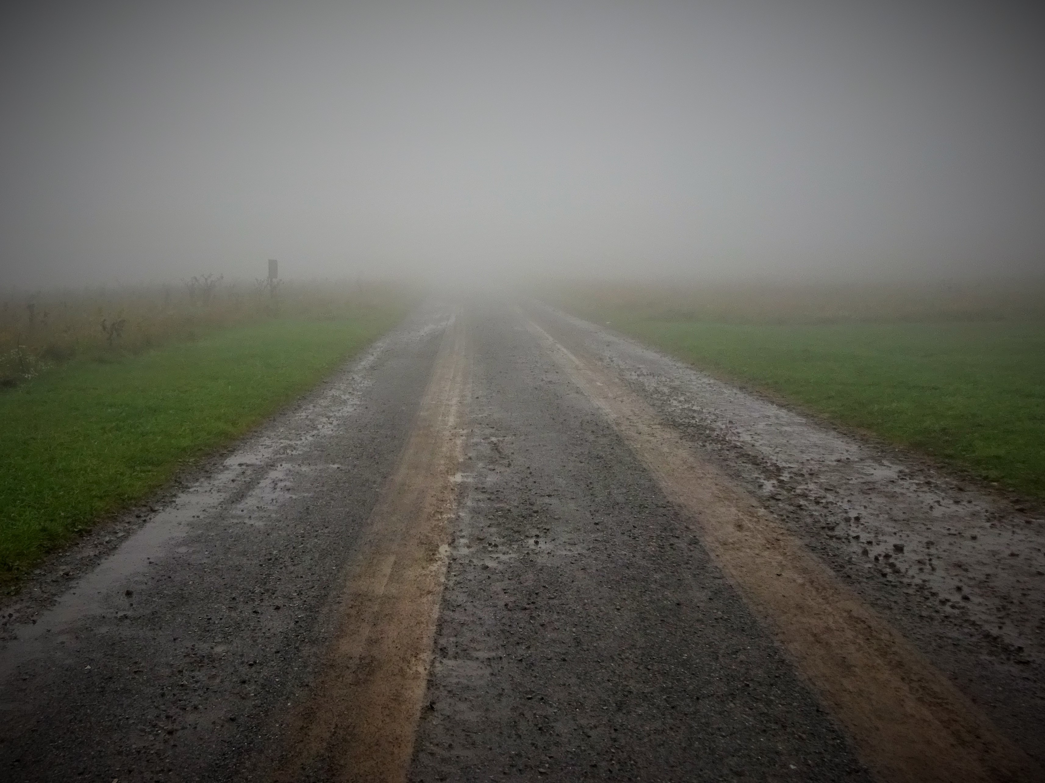
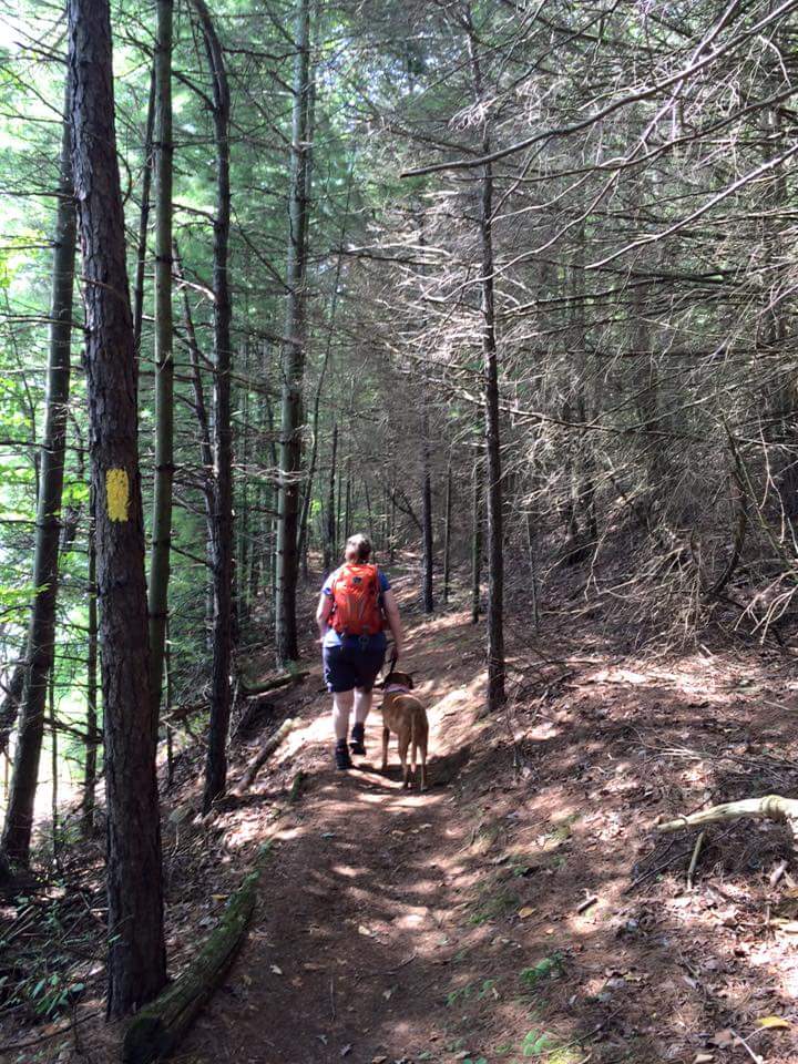
With one car properly parked, we headed to 501 to begin the last section of PA for me!!! This day was meant to be.  Warm temps, blue skies, …Black Friday?  Felt like an early spring day!

img_20151127_192513.jpg

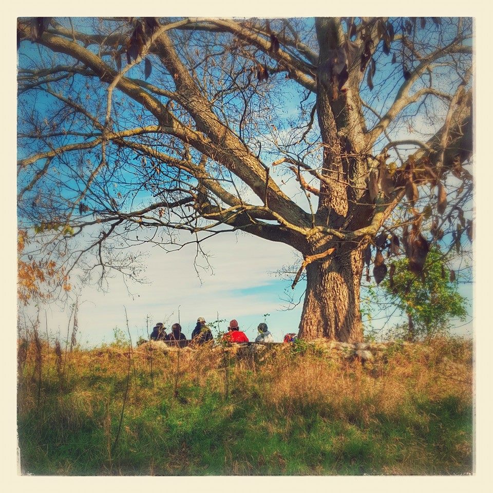
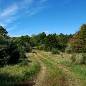
We were greeted with a fantastic view just south of 501.  After that it was pretty decent hiking (with the understanding that it is Pennsylvania and there are the regular amount of rocks along the way).

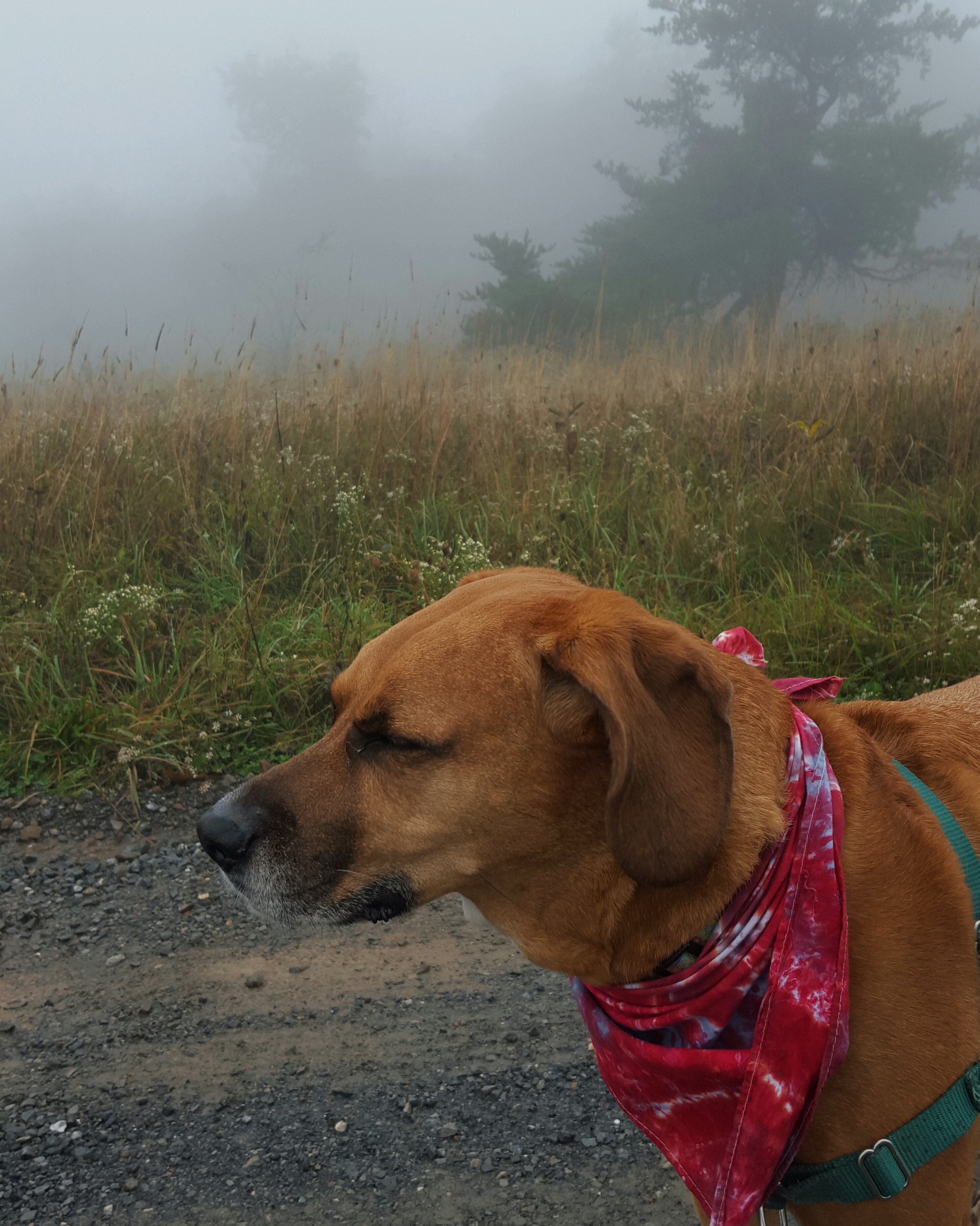
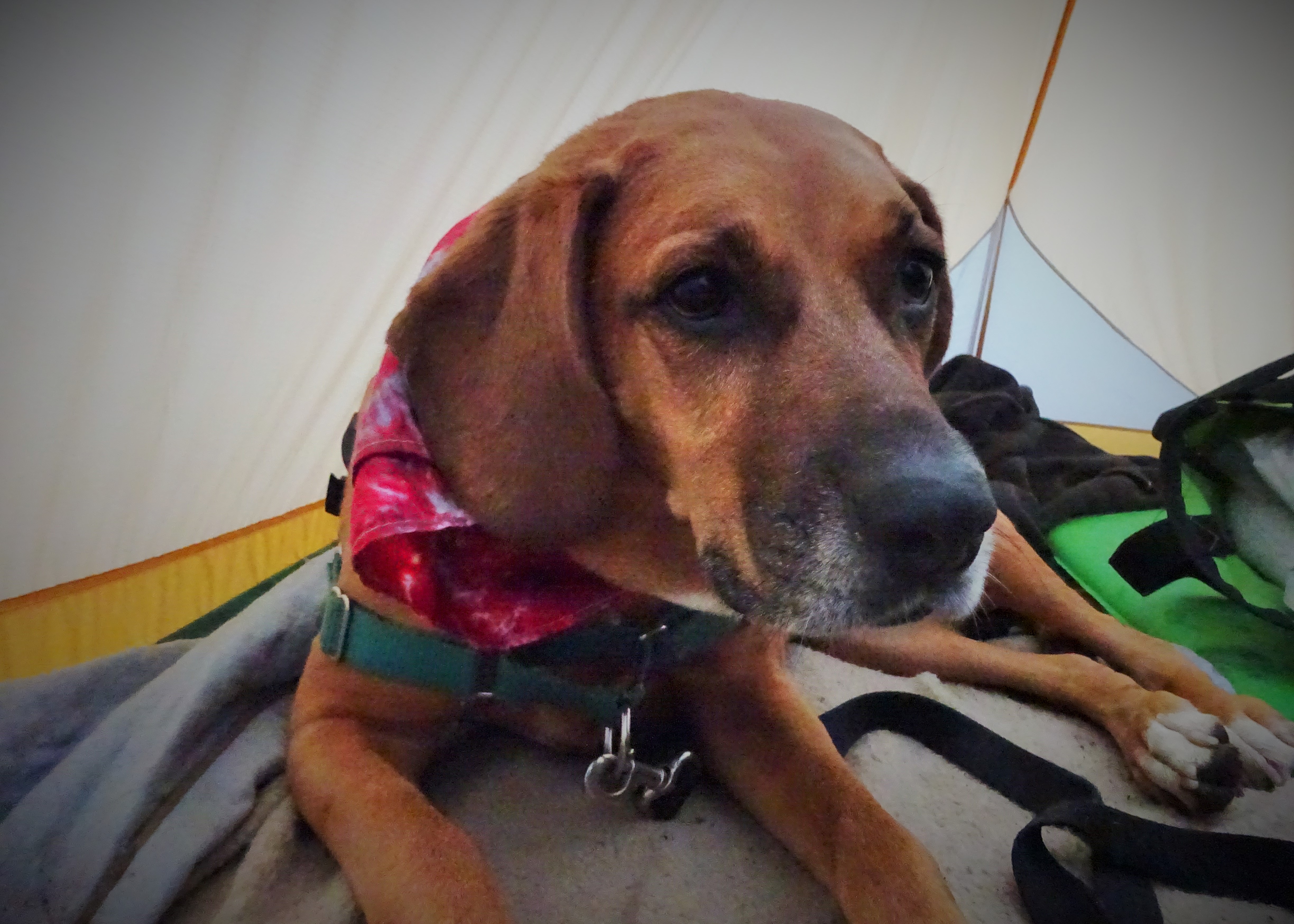
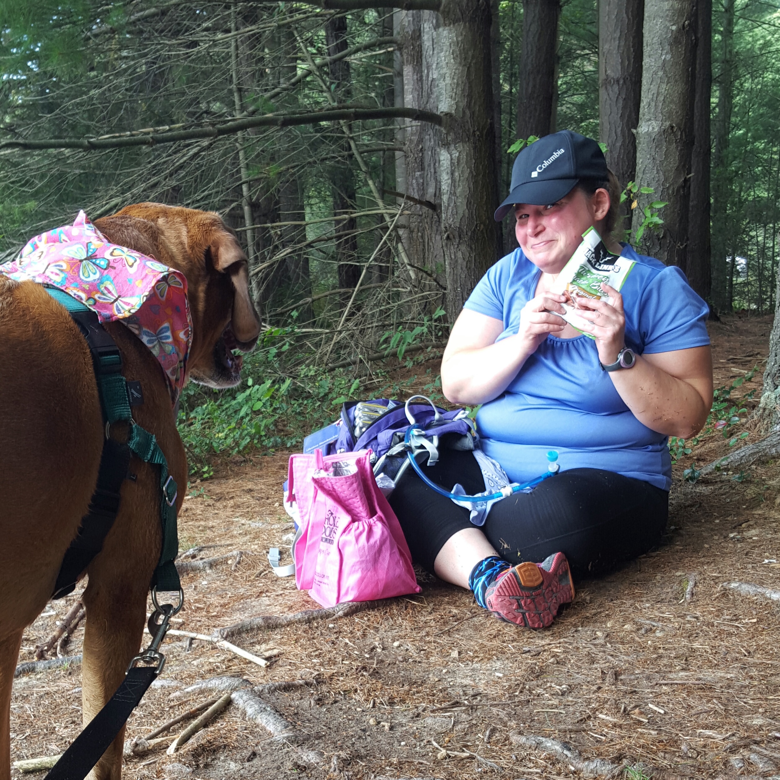
A nice sunny spot was waiting for me at the William Penn Shelter.  I took the opportunity to soak up the sun while chomping on a crisp apple…oh the delights of fall.  “What the heck?…Oh, my phone.”  It was in my right pocket and digging into my hip in a way that was none too comfortable, so I rolled to my left hip and yanked it out.  Apparently, my chapstick felt the need to also exit my pocket in a leap for freedom and promptly fell through a crack in the floor of the shelter to the ground below.   The one item I hated to lose.  *sniff*  “Bye-bye chapstick…so sad you are gone.” 😦

img_20151127_193352.jpg

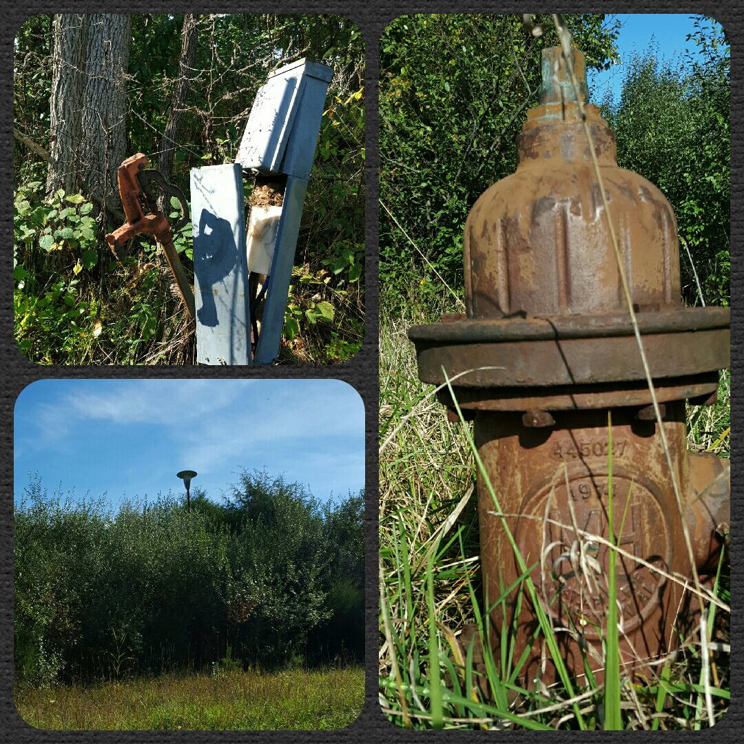
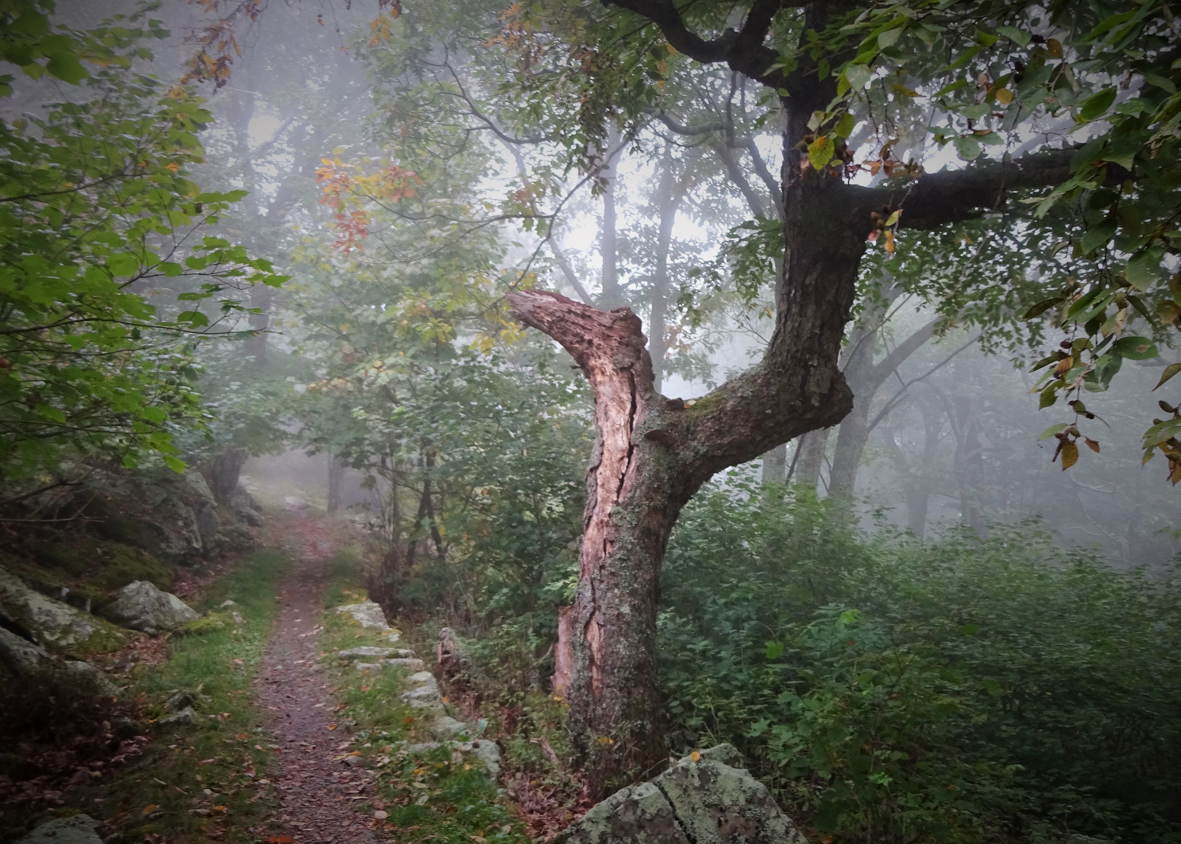
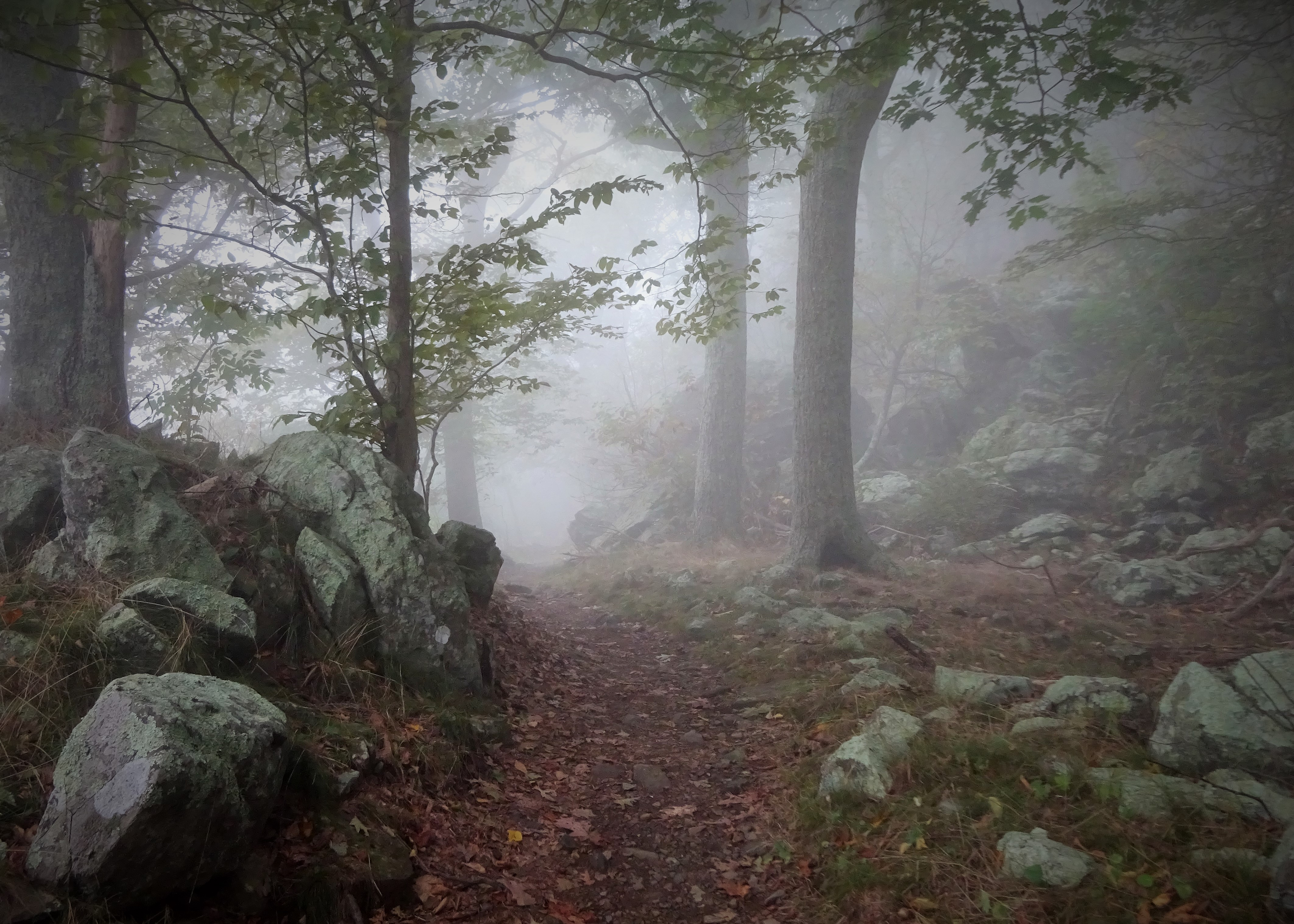
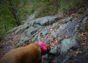
Moving on, the trail resumed the regular rocky until after the old powerline view.   For about a quarter mile there are some bigger rocks which required a bit of rock hopping.  “Come on rocks, dance with me!” I muttered under my breath as I tipped forward, then backwards, on one of the looser specimens.  At this point, I looked to my left and right.  I stopped, calling back to Lola, who was doing a bit of dancing of her own.  “Look at that” I exclaimed, pointing to the woods beside the trail.  “Do you see ANY rocks over there???”  It was a rhetorical question, as there were NO rocks to be seen anywhere EXCEPT where we were walking…teetering…whatever. Oh, Pennsylvania, you amuse me…

img_20151127_193312.jpg

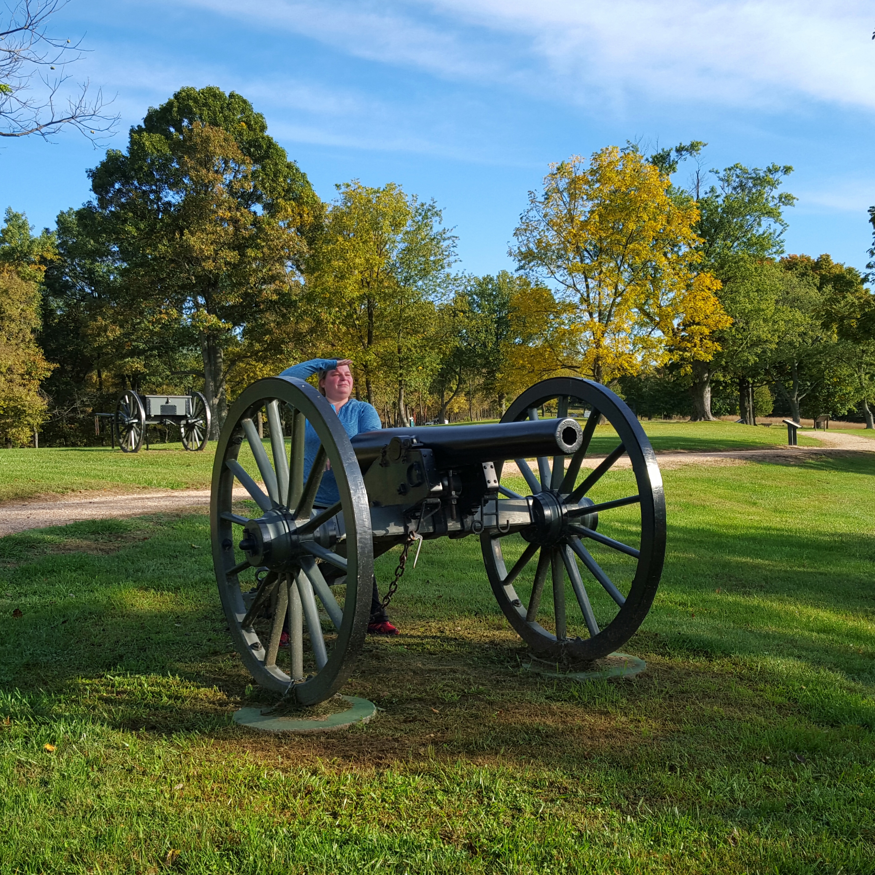
1000 miles going southbound!

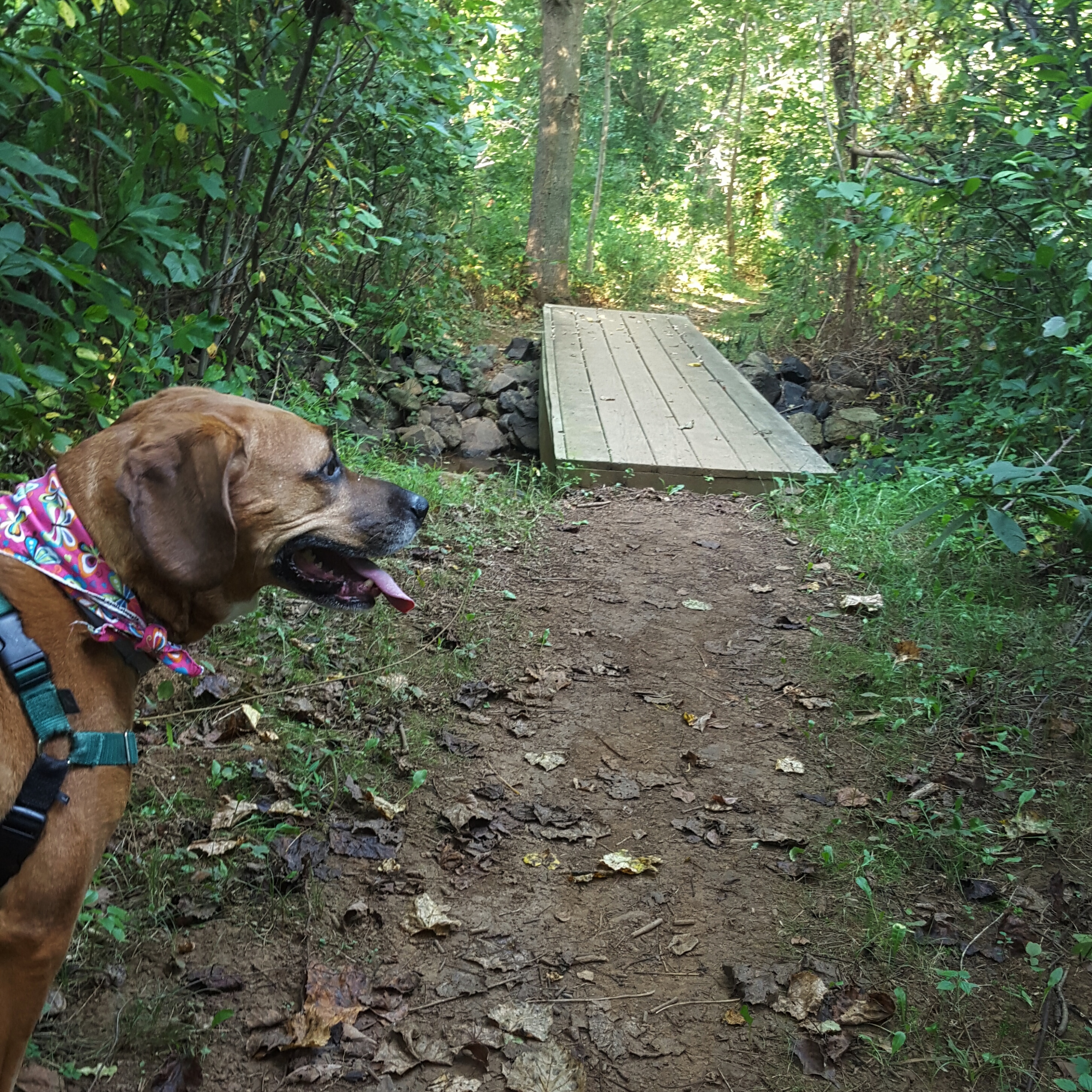
It seems my feet have gotten soft since my backpack in PA this summer.  As we approached the steep downhill into Swatara Gap, they were quite vocal in their disapproval of this 12 miles!  When I stepped onto the road, after following the trail underneath I-81, it felt so good! Level ground, no rocks!

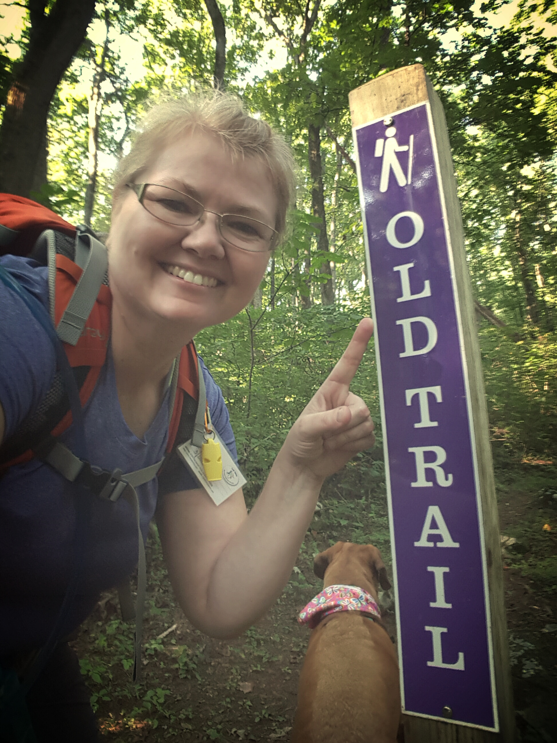
Whelp! PA section is complete!

img_20151127_195806.jpg

Yessss!!!! FINALLY FINISHED PENNSYLVANIA!

It wasn’t as hard as I thought it would be, and there are some sections I would love to do again!  I loved this state most for the people who hiked it with me.  Dirigo, Python, Google, CanDo, Queen V, Lola and many other women I met through Trail Dames.  Also, my brother, Albie, who hiked a portion of the trail between Pine Grove Furnace and Caledonia SP with me. He showed me that I could do a 15 mile day! Brothers are awesome!! 🙂 🙂

On to Virginia and softer trails! Hike On! 🙂


Oh Fall…slow down!

I looked at the date of my last post…a sharp intake of breath…a month ago!!!

It has been an unforgettable fall season. 🙂  Lots of hiking, lots of working, lots of going to school…not a lot of time for writing unless it is for one of those reasons!

So a quick recap of the highlights. 🙂

Shenandoah River State Park

Shenandoah River State Park

October 17: We headed down to Shenandoah National Park in early October to leaf peep.  After seeing the line at the northern entrance, we gladly diverted and visited Shenandoah River State Park instead.  Lovely park and a very good decision!  We visit Shenandoah National Park all the time and quite honestly, prefer it without the traffic. 🙂

White Rocks, north of Gathland State Park on the AT in Maryland

White Rocks, north of Gathland State Park on the AT in Maryland

October 25: Sidekick Pauli and I took an afternoon hike to White Rocks on the AT in Maryland.  I realized I had been doing way too much desk sitting as I climbed up to White Rocks!!  We had a lovely lunch at the rocks before walking back to Gathland State Park. 🙂 🙂 🙂

2015 October 31 Antietam Battlefield

Antietam Battlefield

October 31: Led the Trail Dames on a walk among the lost souls at Antietam Battlefield. Perfectly beautiful day to enjoy and be thankful for all we have been given.

Wet, wet, wet on the Rose River Trail in SNP

Wet, wet, wet on the Rose River Trail in SNP

November 7: Rose River Falls Loop in Shenandoah National Park with the Trail Dames  IN THE RAIN.  Sidekick Pauli didn’t mind the rain and neither did I.  I wasn’t leading this hike so I walked along carefree as can be!  And we finished by celebrating a fellow dame’s birthday with blackberry cobbler and ice cream! Yes!!

Star Party at Sky Meadows State Park, VA.  Just look at those set ups!

Star Party at Sky Meadows State Park, VA. Just look at those set ups!

November 14: Let’s all go to a Star Party!! Kudos to the Northern Virginia Astronomy Club (NOVAC) for sharing their super high caliber telescopes with us at Sky Meadows State Park.  I saw Jupiter, Uranus, a double star, the craters on the moon, and a lot, lot, more! So awesome. 🙂

Thomas Farm...my go to after work!

Thomas Farm…my go to after work!

I have enjoyed being outside this last month and am soooooooo looking forward to my Thanksgiving break!

#OptOutside on Black Friday! Hike On!

The Search for the Missing Caverns (Schoolhouse Ridge, WV)

We could write a book, Queen V and me.  Hers would have a “Little House on the Prairie” spin, while mine would be more of the “Nancy Drew” formula variety…but still.

Yesterday’s adventure started as a pre-scheduled Trail Dame hike up to Boliver Heights in which everyone had canceled except Queen V.  We took that opportunity to go rogue. So after a gentle climb up and down Bolivar Heights,  we went looking for the abandoned camp on Schoolhouse Ridge.

wpid-img_20151010_134805.jpg

We entered an area that we assume “unofficial” cars are not allowed…but there is no gate or fence keeping out curious pedestrians…hike on!

The dew laden grasses in the battlefield had soaked our shoes, so I was pleased to be hiking up a gravel road.  The air was crisp, the sky was blue, and a few leaves were showing off bright yellows and reds of autumn.

I was looking forward to revisiting the abandoned camp which Little Caesar and I had stumbled upon last year.  There is nothing quite so exciting as to inadvertently hike into something unexpected and forgotten.  It seems to open a box of memories locked in place and time.  Not my personal memories, but a collective of memories created by what I have read or seen of the time period.

We reached a fork in the road, which way?  I don’t remember so we go to the right at first, then finding nothing, turned back and took the left fork.  Ah, there it is!

Queen V states “Better to ask for forgiveness, than ask for permission.”  as we pass the first long, low building.  There are some official park vehicles behind a chain link fence.  I give little attention at first, then look again.  Oh, it was a swimming pool! Queen V steps forward pointing out how it has been filled in and oh, look there is the baby pool!

Turning our backs on the pool area we head to the other end of the building.  Here we find another shack with signage!

We are now both on our phones “googling” for information on this park.  I find nothing because I have T-Metro (T-Mobile).  Queen V is victorious, somewhat, in her search. This was an early Jellystone Campground!  We continue to poke our heads into each building, searching for clues to the past.

Just an average girl climbing up on a cement block to take a peek. Go Queen V!

Just an average girl climbing up on a cement block to take a peek. Go Queen V!

Scramble under the bushes, poke, poke, ….Oh My STARS!!! Hey Boo Boo, How about a pic-a-nic basket?!!!  THIS IS THE BEST FIND EVVVEEEEERRRR!!!

Can you believe it? The best! We are both just giddy at this point and our curiosity is at full throttle.  What else was here?  What else are you finding on Google?

“Caverns…there were caverns!” reports Queen V.   “Caverns?” I ask, just to be sure I heard her correctly.  Oh yes, now the hunt for the missing caverns began.

I found this online...there are caverns!

I found this online…there are caverns!

We hiked further up the road.  Veering right at the next fork we found the cracked, old pavement ended and our wade through thigh high grasses began.  It was still a road, just unpaved and not frequently used. We found a power hook up, like an RV or trailer would use when camping and looking around discovered we were in one of the old campground areas.  Overgrown and forgotten, including the bath house.  But no caverns.

We hiked up past the maintenance area, into another campground loop long forgotten.  More power hook ups, but now with an addition of water pumps!  And security lights floating above the trees that looked like flying saucers. 🙂

wpid-img_20151010_140322.jpg

wpid-instacollage_1444505990000.jpg

But still no caverns! Online resources stated the caverns had been “adjacent” to the campground, so they had to be here somewhere!

We stomped up and down and all around Schoolhouse Ridge until our stomachs were growling and our feet were sloshing in our shoes.  Still nothing! Where could the missing caverns be located?

We headed back downhill, not satisfied with our search, we discussed next steps.  “We can leave a car here in the parking lot, then drive further up the road…there has to be something!” I said confidently.  Okay, good plan! Let’s do it! So we did.

We took my car and drove about a hundred feet up the road to the Train Museum.  I turned in and we found ourselves in the middle of yet another adventure! Only $2 to take the train ride???  OH WE ARE DOING THIS…wait, do we have any paper money? I found three crumpled dollar bills and Queen V found a dollar’s worth of change in her wallet…train ride on!

“Hey, do you know about the caverns around here?” I asked the conductor.  Of course he did and told us he would fill us in after the ride. 🙂 🙂 🙂

This guy had information on the caverns! After the train ride, he happily gave us a little history lesson.

This guy had information on the caverns! After the train ride, he happily gave us a little history lesson.

I think we had more fun than the kids on the train!

I think we had more fun than the kids on the train!

The Train guy’s story:
The campground closed in the 1970s. “It would have been miserable up there in the summer. No trees then, just out there in the middle of the field.” He shows us an old post card. A view from above, happy campers lounging by the pool with the long low house in which Yogi now resided. “Oh yeah, the caverns are up there, but they filled them in too…they were collapsing anyway. Pretty dangerous.” he finished.

We still want to find those old caverns…but for now the missing caverns will have to remain missing for us! Hike on!

Fogged in at Tentsite #43 (Day 2 – Saturday 9/26/2015)

I left this story as Sidekick Pauli and I were preparing for a night in the tent.  She was on her cushy mat covered with a fleece pad and I made myself as comfy as possible on my Thermarest pad. I had my 20 degree bag underneath and my 35 covering us both like a quilt.  It was quite cozy as darkness fell and Sidekick Pauli’s little snores kept me company as I read my book with a headlamp.  The soothing pitter-patter of raindrops soon had my eyes lids drooping, so I called it a night and drifted off into dream land.

Campgrounds!!! Boom-boom-whack-boom…a family had rolled in after dark and by the sound of it were constructing the Taj Mahal.  No need to worry about the bears…back to sleep…

Peeking my head out of the tent in the morning I couldn’t see more than ten feet in front of me!  That was pretty wild. I waited about an hour for a little more light to filter through the fog, then headed to the car. “Let’s go, Pauli!  This is car camping, I need coffee!”  and I found it at the Wayside…gladly paid $3.04 for a coffee they branded as a “large” but would have been classified as a medium (or a “grande” for you Starbucks folks 🙂 )

Need coffee...what a welcome site on a chilly, wet morning.

Need coffee…what a welcome site on a chilly, wet morning.

Then I headed south with the intention of finding a place to hike where the fog was not as heavy.  This turned into quite a quest!  I drove into the southern section of the park and found a few beautiful views.

Southern Section Overlook

Southern Section Overlook

We hiked a little of this and little of that as I drove back north towards Big Meadows, where it was just as foggy as I had left it!  I decided we could walk down the road to Rapidan.  I was NOT going into the Meadow in that fog…good God, I could have been lost for hours!!

I can't see anything!

I can’t see anything!

We had a good time and eventually the fog lifted in the Meadow, so we entered and found many beautiful wildflowers, in addition to an apple tree dripping with apples!  We were ready for lunch soon after stomping up, down, and around Big Meadows.

Walking into the Meadow on the Rapidan Fire Road.

Walking into the Meadow on the Rapidan Fire Road.

This slideshow requires JavaScript.

Heading back to the tentsite I took in the spread of the Taj Mahal campers.  Two huge tents, food everywhere, and the number of red Dixie cups would positively have the Leave No Trace peep’s panties in a twist.  It even made me cringe…seriously, I think these campers produced more trash in two days than I produce in a month.

“Okay…stop judging them!!!” I made a conscience decision to STOP JUDGING them…I was camping.  “Just let them camp, girl! It’s fine…everything is fine!”  So I left it and enjoyed my lunch. 🙂

And it was fine!  Their kids came over and met Sidekick Pauli, and she adored them.  Mom was very nice, as was Grandpa!  How cool that the whole family was getting together for good times outdoors…I love that!

The fog had lifted, but it was still chilly.  Here is the issue with bringing my dog on a rainy weekend…there is not much to do with a dog on a rainy weekend if tenting.  I certainly wasn’t going to tie her to the tree and let her get cold, while I sat in a comfy chair reading my book.  She wasn’t allowed inside anywhere…and we didn’t come out here to hang out in the backpacking tent…so only one thing to do…hike!

I picked up the AT where we had left it yesterday and hiked south to a cemetery, then looped back on a horse trail.  Not a long hike, but long enough to stretch our legs once more before the rain started up.  Which it did, right on cue at 5 pm.  Even so, the tent was a welcome respite and kept us cozy one more night. 🙂  Hike on!

After our last hike of the day...time to relax in the den!

After our last hike of the day…time to relax in the den!

Fogged in at Tentsite 43 with Sidekick Pauli (Day 1 – Friday 9/25/2015)

Tentsite 43 – Big Meadows, Shenandoah NP

I had the site reserved well in advance.  This was planned to be an outing with my nieces “No Bend Barbie” and “Jedi”, but No Bend is finishing up her Master’s in Geology and was way too deep in research to come…so we postponed until next May.

So I figured I would take Sidekick Pauli!  My first solo camping trip and a long time since Pauli has been on an overnight with me.  This would be fun!  We could chill out at the campsite, enjoying the crisp autumn air, watching the leaves fall, and take an occasional hike.  Hey, I even bought a new camp chair for the occasion at the REI sale a few weeks ago!

As our weekend approached I got nervous…too many nice weekends in a row…oh, the probability for a rainy weekend…

Right on cue, the forecast said occasional showers, then rain at 6 PM on Friday night.  Okay, okay, I will get there early and set up the tent.  We can get a hike in  before it starts raining…

Cruising up to Sperryville, Virginia, I glanced at the wall of mountains before me shrouded in white…uh oh…

Well, I will just drive on up to the park entrance and see what is happening.  As my car climbed up, the fog rolled in, and soon I was moving at about 20 mph, hands gripping the wheel, as shapes swirled in and out of the fog in front of me.  Hmmm, It’s not raining…maybe we just need to gain a little altitude, you know, to get above the fog bank.  So I flashed my pass at the gate and turned south on Skyline Drive headed for Big Meadows (still at 20 mph, but now with the addition of the hazards blinking merrily to the sorry souls who dared hug my bumper).

Turning into Big Meadows, I was mollified somewhat.  The fog had lifted a bit and my optimism for an adventure had returned!  Tentsite 43 let’s go!

Great site by the way.  Way back in the woods.  There is a picnic table, bear box and tent pad.  There were also a few little trails behind the site.  These trails made walking Sidekick Pauli late at night very easy!

After setting up the tent, We set out for Lewis Spring Falls.  This trail is a 3.3 mile loop which I was able to reach by walking from my site (a nice plus!).  The fog was again falling through the trees which made my traverse along the Appalachian Trail magical.

All of my previous doubts about staying the weekend disappeared as walked along the AT.

All of my previous doubts about staying the weekend disappeared as walked along the AT.

The trail followed the AT south past the lodge, then a right turn on the fire road, passing an exhausted looking family unit. “Hey, how are you guys?” I cheerfully greeted them…Dad says, “We’re great!”…Mom says, “Kill me now…”  The teenagers were happy though!  I left them to their resting spot and headed on to the falls.

This was going to make that Mom like her hike again! Did I just walk into a fairytale?

This was going to make that Mom like her hike again! Did I just walk into a fairytale?

Whoa…lots of switchbacks!!! It sprinkled a bit, but I had dropped below the fog and could now see distant peaks.  Reaching the top of the falls, everything was wet and the rocks were slippery.  I guess to actually see the falls I would need to descend a little more…but knowing my propensity for taking a tumble and that at the moment I was hiking sans hiking poles (and with a dog)…I decided not to go any further!  I didn’t feel even the least bit sad about that decision either.  Some people just love waterfalls, I am not one of those people.  I like them, they are pretty, but I don’t have to see them in person…unless of course we are talking about Niagra…

An unexpected view on this foggy day!

An unexpected view on this foggy day!

I wondered why everyone was going back up the same switchbacks they came down…then I figured it out.  When you loop, the trail gets pretty rocky.  Holy crap! I hadn’t bargained on this for my easy, afternoon, 3.3 mile hike!! Careful, whew! I didn’t slide and I didn’t fall!!

Back at the site, I proceeded to make dinner.  As soon as I had finished cleaning up and putting things away, then rain started in earnest.  It was 6 pm.

Happiness is a warm puppy!

Happiness is a warm puppy!

We didn’t come out of the tent until after dark so Sidekick Pauli could have a little walk into the woods, so to speak.  Then we were in for good! Into the fog…hike on!

Feeling Beachy at Elk Neck State Park-Maryland

The Chesapeake Bay! Turkey Point Lighthouse!

image

There is no better indication that summer is still here than a sailboat on the bay!

It took two hours, half a tank of gas, $8 in bridge tolls, and a $3 entrance fee to get to Elk Neck from Frederick, Maryland…but the views of the Bay…yes, definitely priceless!!

Elk Neck is located on a peninsula at the top of the Chesapeake Bay. The place where the Susquehanna, North East, Elk, and Bohemia Rivers spill into the Bay. At the southern most part of the park, Turkey Point Lighthouse sits atop the bluffs affording an expansive view of the Bay.

Sidekick Pauli and I started our hike on the White Banks Trail at North East Beach. Dogs are allowed on all the trails and beaches, except for the swimming area. The trail description describes this as a “challenging” trail, but that must be by eastern Maryland standards. 😉
image

Within 15 minutes, we came to a “T” in the trail. The official trail goes left, but shamelessly, I went right…and oh my!! The beach, a secluded, empty, windy beach! Yippee!

image

Sidekick Pauli’s first view of the Bay

image

Driftwood is very, very cool

Sidekick Pauli approached the water with great trepidation. When a wave would roll, then crash, onto the beach, she would jump back startled. These were tiny waves! Oh well, mountains and lakes are more her style. 🙂 🙂

image

The waves are chasing me!! Maybe I can climb that cliff…

There was a great piece of driftwood for us to sit on and eat our lunch. Total relaxation overtook me sitting there on the sunny beach watching sailboats drift by in the Bay.  Then Sidekick Pauli, having had quite enough of the sand, and the waves, and the wind, whined and pawed me leaving wet sand all over! Time to keep hiking!

image

Okay, okay…we’re going!

After the stop at the beach we climbed the steepest hill of the entire hike.  I remember it, not for its steepness, but for the woman who we passed as we were going up…a cigarette and whiskey voice with a starlet physique…memorable. 😉

Next stop was White Bank overlook…pretty cool.  Watch your step! It’s a long way down!

image

White Banks…and a rather abrupt drop off!

Continuing around the park, we took a side trail over to meet up with the Pond Loop.  Acorns and pawpaws were my only obstacles…and I slid twice! Darn acorns!
image

The pond was more to Sidekick Pauli’s liking, so we took our time around the perimeter.  I love those big, plumed grasses that grow on the eastern shore of Maryland.  The pond’s shore was thick with this grass.
image

image

Once we were around the pond, we caught the Farm Trail back to the parking lot.

image

It’s not a flower, Pauli.

However, we were not done for the day!  The one unfortunate aspect of this park is that it is split into two pieces, with a prestigious bay community inbetween. 😦  Lucky for the residents, not for park visitors!  So if you want to visit the lighthouse…which of course you do…you will need to drive down to the lighthouse trail.  Which we did! Then NO PARKING was available, but the park ranger made a space for me! 🙂 🙂

image

Turkey Point Lighthouse

Thank you, ranger!
Lovely day at the Bay!

Hike on!

A Morning at Boliver Heights Battlefield

The mysteriousness of a heavily fogged in morning.  It feels both calm and spooky, like something is about to happen.  Battlefields are especially moving in the early morning and add in the fog…well, walking through it, having it swirl around me and swallow me up…left me feeling as if I had entered a magical place where it was possible to transcend time.

image

Looking towards Schoolhouse Ridge

Sidekick Pauli walked with me this morning up the the hill from Schoolhouse Ridge.  I looked back at the car once finding it hard to see in the mist.  I looked back twice and it was gone.  A thick misty white wall moved across the field in no hurry to rise into the sky.  We headed on up the hill and eventually emerged from the fog. How beautiful the opposing Schoolhouse Ridge looked.  We turned back to enter the woods and climb up to Boliver Heights.
image

The climb was gentle and several deer greeted us with a quick glance and a flip of the tail as we made our way up.  Then the beauty of the ridge!

image

Sunrise at Boliver Heights

Looking down to the Potomac & Shenandoah Rivers … rivers still hidden at this early hour.  Absolutely stunning!

image

Looking down into Harper's Ferry

Headed back down into the woods after walking along the ridge enjoying the views. The trail here was a little rough with several blowdowns. At one point I wondered if I had gotten off the trail, but there was a definite path in front of me so I continued.
image

Coming to a fork in the trail, someone had tied ribbons to indicate which way to go. Downhill, well, that makes sense. So down we went! More blowdowns, then into a pawpaw patch we followed the ribbons.
image

image

“Yay!” I thought, catching site of the field as we climbed over our last log. Entering the field, we were about 100 yards away from a farmhouse. I heard a man’s voice yell up to me, “Are you lost?” Um…um…awkward! I didn’t think so, but apparently this was someone’s private property!! After talking, well, yelling back and forth with the guy, we had no choice but to follow the ribbons back up the hill! I don’t know who marked that trail, but ergh.

image

Dead end!!!

image

Back on the ridge, but the fog is gone

A lovely morning to explore, though! And hey, eventually I will find the right trail down the hill! 🙂

Happy Friday and take the weekend to hike on!

Caledonia State Park, PA…Put it on the short list!

Caledonia State Park is quite possibly one of the prettiest state parks near Frederick, Maryland.  The air is scented with pine, the creek bubbles and gurgles as it curls its way through the park, and the towering pine trees leave me with the most serene, peaceful feeling every time I visit.

Labor Day Weekend I was invited up by Queen V.  She was spending the weekend at the park and decided to come out of her tent to hike with me!  I haven’t seen her since the backpack in June and was looking forward to hearing about her hike in Sweden.  One of these days I will go on a hike somewhere in Europe…but until then I depend on my international hiker friends, like Queen V!!

Stopped at the visitor center to pick her up, then headed to the Hosack Run area to pick up the Greenwood Road Trail.  We walked through the woods catching up on the summer and on Queen V’s adventure on the Fjallraven Classic.

BoobOnARock and Queen V take to the trail...oh it's on!

BoobOnARock and Queen V take to the trail…oh it’s on!

We were hiking to the Long Pine Run Reservoir in Michaux State Forest.  September was here and the start of the day had been crisp!  I could feel a hint of autumn in the air!

Queen V is a great person to hike with because it is so easy to carry on a conversation with her as we hike.  I am not much of a talker, but it seemed as if the miles flew by as we gossiped, caught up on each other’s adventures, and generally, just rambled about whatever. 🙂

Lunch by the lake. :)

Lunch by the lake. 🙂

The terrain was perfect for my recovering knee (injured last weekend dodging a bee…).  There were no big step downs, which are still giving me a bit a pain.  But more than that, there are so many pine trees that the trail is pretty soft in spots…love it!  We stopped for lunch in one such spot.  Sinking into the ground we started pulling out our goodies…oh, what’s that? Queen V brought Sidekick Pauli’s favorite…summer sausage!  Lucky, lucky dog!

Oh, it's summer sausage time by the lake! :) :)

Oh, it’s summer sausage time by the lake! 🙂 🙂

Thanks Queen V for the photo! Me & Sidekick Pauli in the Pines

Thanks Queen V for the photo! Me & Sidekick Pauli in the Pines

Rounding the reservoir, we found many places for Sidekick Pauli to get her feet wet. 🙂  My dog is getting older now, 8 years old last May, and while she is not much of a swimmer, she does love to splash!  We rounded back around the lake and took another siesta on the rocks.  Sidekick Pauli made a friend with a very little yorkshire terrier who was just smitten with her. 🙂

Splash!

Splash!

Sidekick Pauli makes a very tiny friend, Rocko

Sidekick Pauli makes a very tiny friend, Rocko

Thank you to Queen V for including me in her Labor Day weekend getaway!  This was awesome!

Grab a good friend and Hike on!

AT – VA Rt 601 to 2nd Parking Area South of Sky Meadows SP

Riveting title don’t you think. 😉

Started early last Saturday (before the Labor Day Weekend) …Sidekick Pauli in tow.  We had the whole day to hike!  I found the Rt.601 parking lot without difficulty, but wow! what a drop off into the parking lot!  I switched out my sandals for hiking boots, grabbed extra water for Pauli, then headed down the blue blaze towards the AT.  Heads up, people, the heat was back in town!

Left turn onto the AT, then in about 0.2 of a mile we were cross Rt. 50, a major highway, which thankfully was pretty quiet this morning.  Sidekick Pauli was already in tongues out mode as you can see in the pic below!

On the trail just after cross Rt. 50.

On the trail just after cross Rt. 50.

The trail hugged Rt. 50 climbing gently until reaching the parking area on Liberty Hill Road.   Afterwards, the climb becomes more steep, but not unreasonable so.  I had plans to take the Old Trail (the old AT) up the hill and AT back down the hill.  I had never taken the Old Trail and had conjured up a trail that was overgrown, filled with briers and ticks, with a faint path leading through it.  I pictured faint or non-existent blazes on the trees…and quite honestly, I imagined getting lost!

The Old AT!

The Old AT!

I could not have been more wrong.  The Old Trail is marked clearly and often with purple blazes and the trail is pristine! What a nice surprise.  The only part I didn’t like was the multitude of spider webs spanning the trail.  Goodness, I must have taken twenty little spiders hiking with me…and their webs were in my hair, on my pack, everywhere.

A calm ascent up this little hill before the real heat of mid-day set in. Butterflies owned the pipeline where wildflowers were abundant.
image

Then it was back into the woods for a short stretch before we reached the AT. We were now in Sky Meadows State Park proper.
image

New colorful signs are replacing the old standard brown and white. I allowed myself a moment of nostalgia looking down at the classic brown and white sign that had been tossed to the side, then admired the brightly colored new trail marker with improved information.

image

We turned right, then took a nice sit down break at the intersection of the North Ridge trail. It is a proper resting spot with a bench! Sidekick Pauli crawled underneath finding a cool spot to rest and to keep a watchful eye on anyone coming up the trail. 🙂 My traildog!
image

The plan was to continue south to the first parking lot off the Thompson Wildlife Management Area. This would allow an easy starting point to continue this section at a later date. The PATC map showed Orchard Parking to be about another 0.7 miles, not too far.

I passed an overgrown path to the right and thought, “If this were Indiana, that would probably be the trail”…snarky I am at times…

After a while, I was more suspect that the overgrown path had indeed been the trail to Orchard parking, as I was not finding any other paths to take. I finally came upon a little sign with a tent symbol and, hallelujah! A PATC trail maintainer! I talked with him a bit and confirmed that I had passed the trail to Orchard parking. So, time to turn around and head back to route 601, this time following the AT through Sky Meadows.
image

It was such a beautiful day, and I was in no hurry since earlier in my hike I had dodged a huge bee…lost my footing, and fell, cracking my kneecap on a rock. Surprisingly, while it was plenty painful, enough endorphins were flooding the area to keep it manageable!
image

I was ever so pleased to get to blue blaze that took me back to my car!

image

Hobble…I mean, Hike on!

AT – PA with Trail Dames of MD: Coming Together, Sharing the Trail & Making Memories

One of the best groups I have ever led on a hike!  I led this hike for Trail Dames of Maryland last Saturday…ten miles on the Appalachian Trail.  We started at Shippensburg Road and hiked south to Caledonia State Park.

This being the beginning of my semester, I don’t have much time to elaborate! However, this mix of personalities just clicked, creating a wonderful, supportive, fun experience.  These women are the reason I volunteer to scout, organize, provide shuttles, and lead hikes! 🙂 🙂

Hike on!

The Dames at Shippensburg Road Trail Head

The Dames at Shippensburg Road Trail Head

This slideshow requires JavaScript.