AT – NC Wayah Bald to Tellico Gap

Day 5: Wayah Bald to Tellico Gap, June 28, 2017

“I’ll just hike a little ways with you”

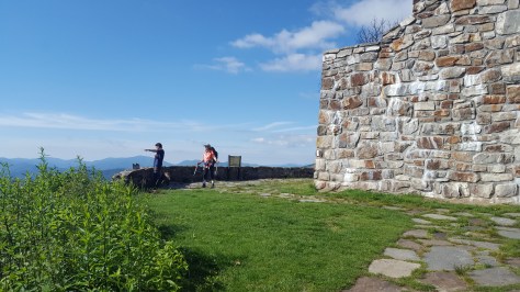
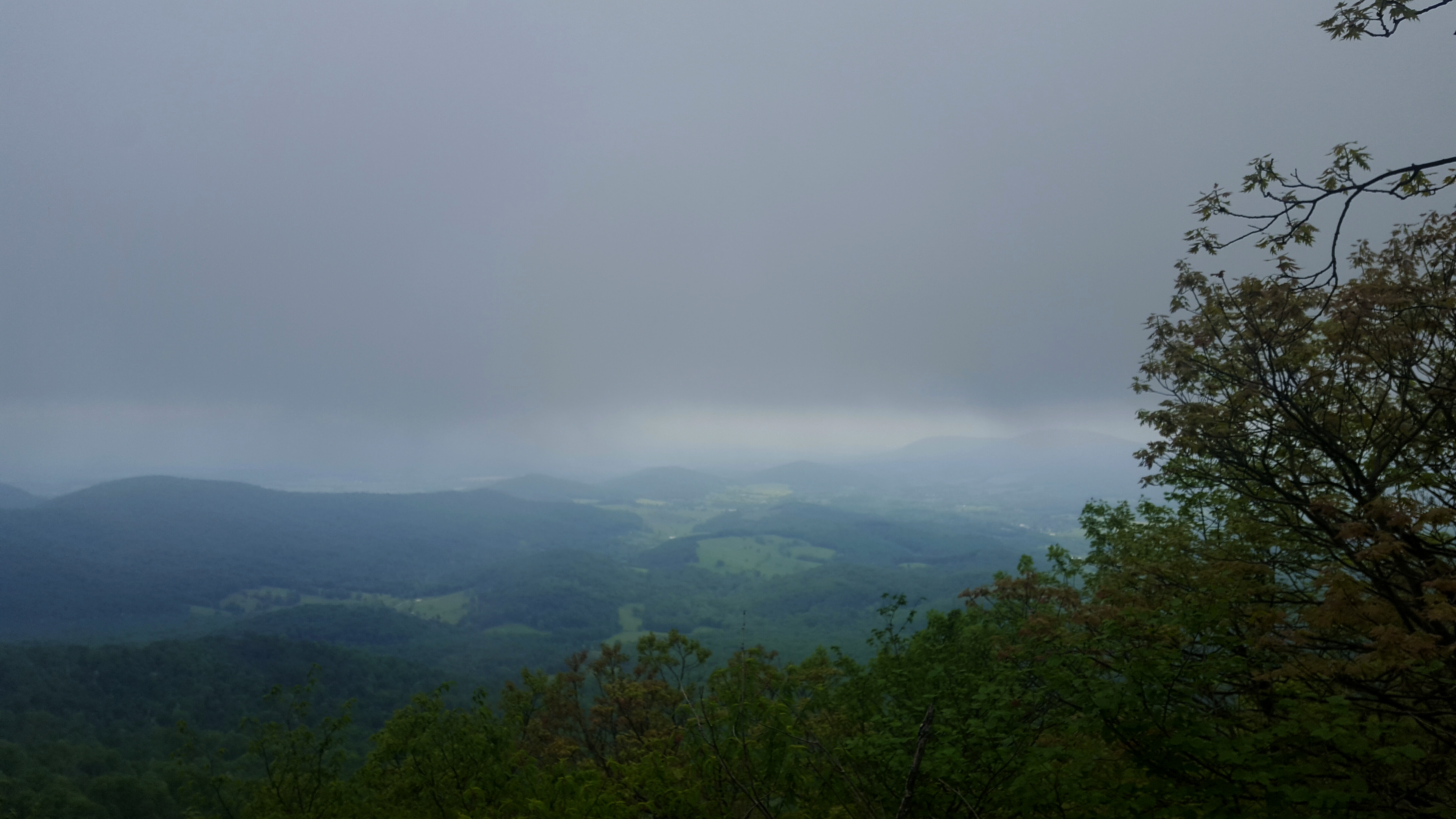
Words from Momma Puma as we pulled into the Wayah Bald parking area.  I barely heard her as my senses were overtaken by the sheer jaw-dropping vista this morning at Wayah Bald.

20170628_092934

The Wayah Bald fire tower, substantial as it is, sustained a clear amount of damage from the fires.  It’s majestic nature has not been affected in the slightest, I am happy to report!  The interior chamber of the fire tower on the ground level would be a great hiding place in a storm.

20170628_093151

Done exploring at the fire tower, we headed north on the AT and downhill.  We passed the sign for the shelter, then promptly, went the wrong way!  I figured the sign for the shelter meant it was a blue blaze, twenty minutes later I am shaking my head as it seemed we were headed around the mountain and below the fire tower.  The one time I have used technology on the trail to actually check my location…and a good call!  Guthook’s guide app showed that we were indeed off the Appalachian Trail…it didn’t show what trail we WERE on (a drawback to the app is that it doesn’t show all the intersecting trails) but we knew we were on the Bartram Trail.  It was encouraging to see that I was correct in where I thought I was…anyway, we backtracked…ugh.

DSC01230

You know some people get off trail because there is no signage…me…sign right in front of me, but I assumed it meant a blue blaze to the shelter. 😀 Extra credit miles today.

Once back at the intersection, Mama Puma, decided she didn’t want to climb back up the hill to her car.  Too funny! So she joined me, for better or worse, to Tellico Gap.

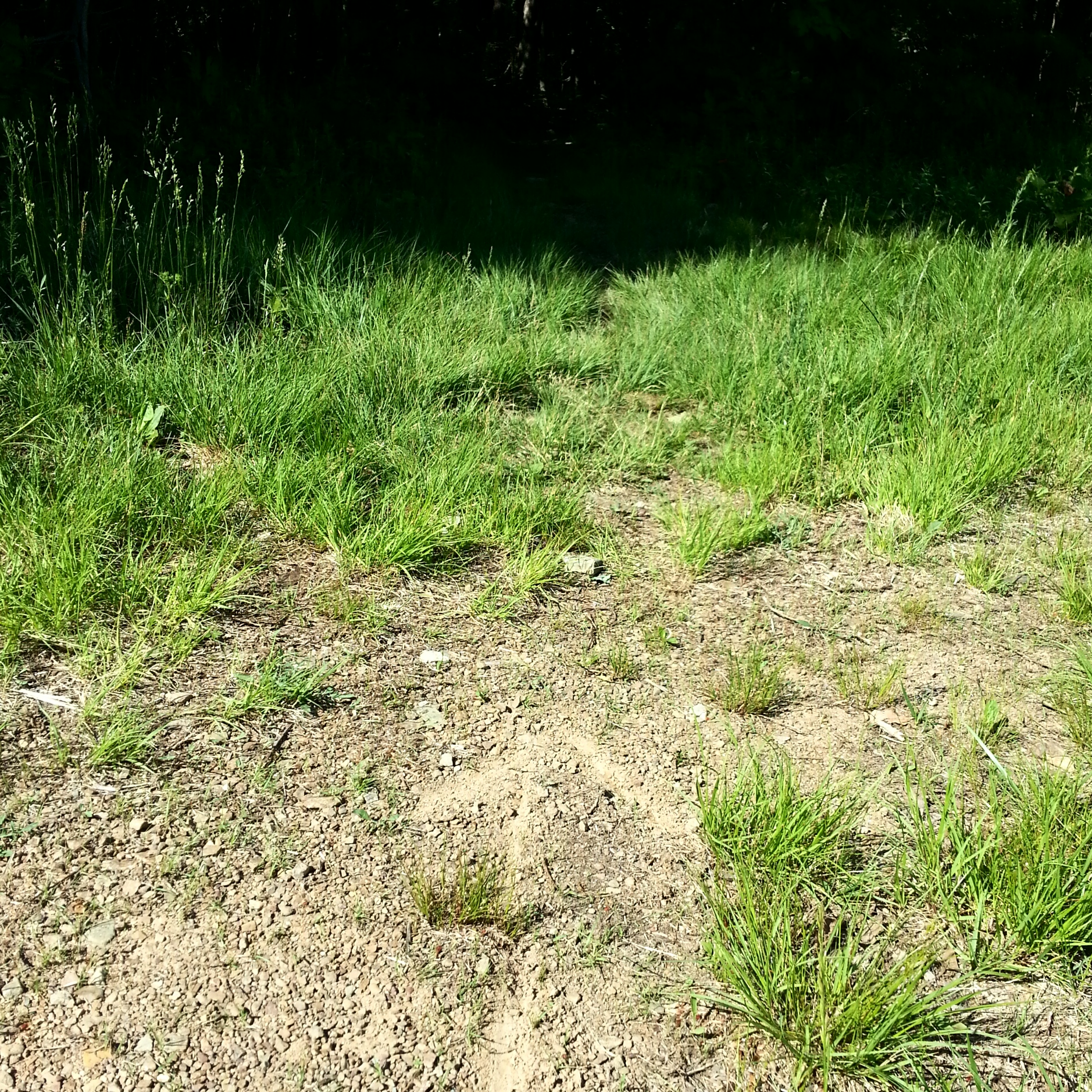
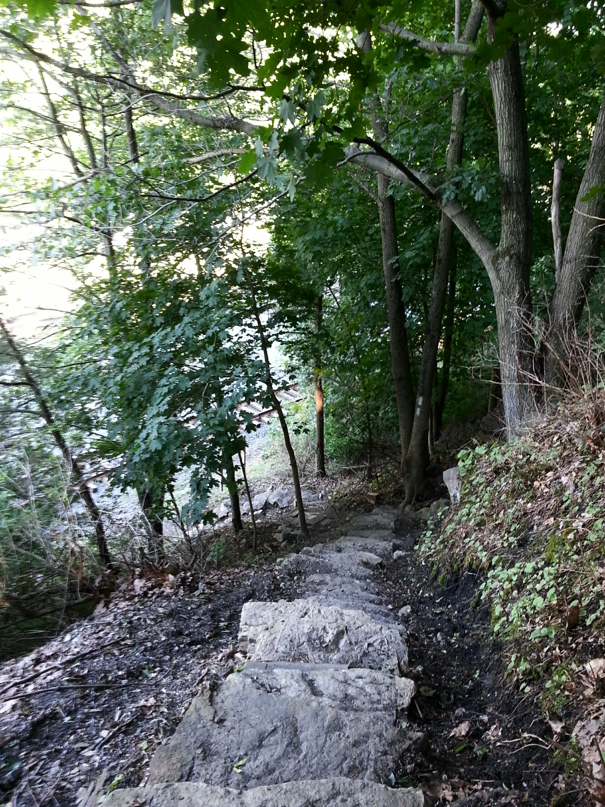
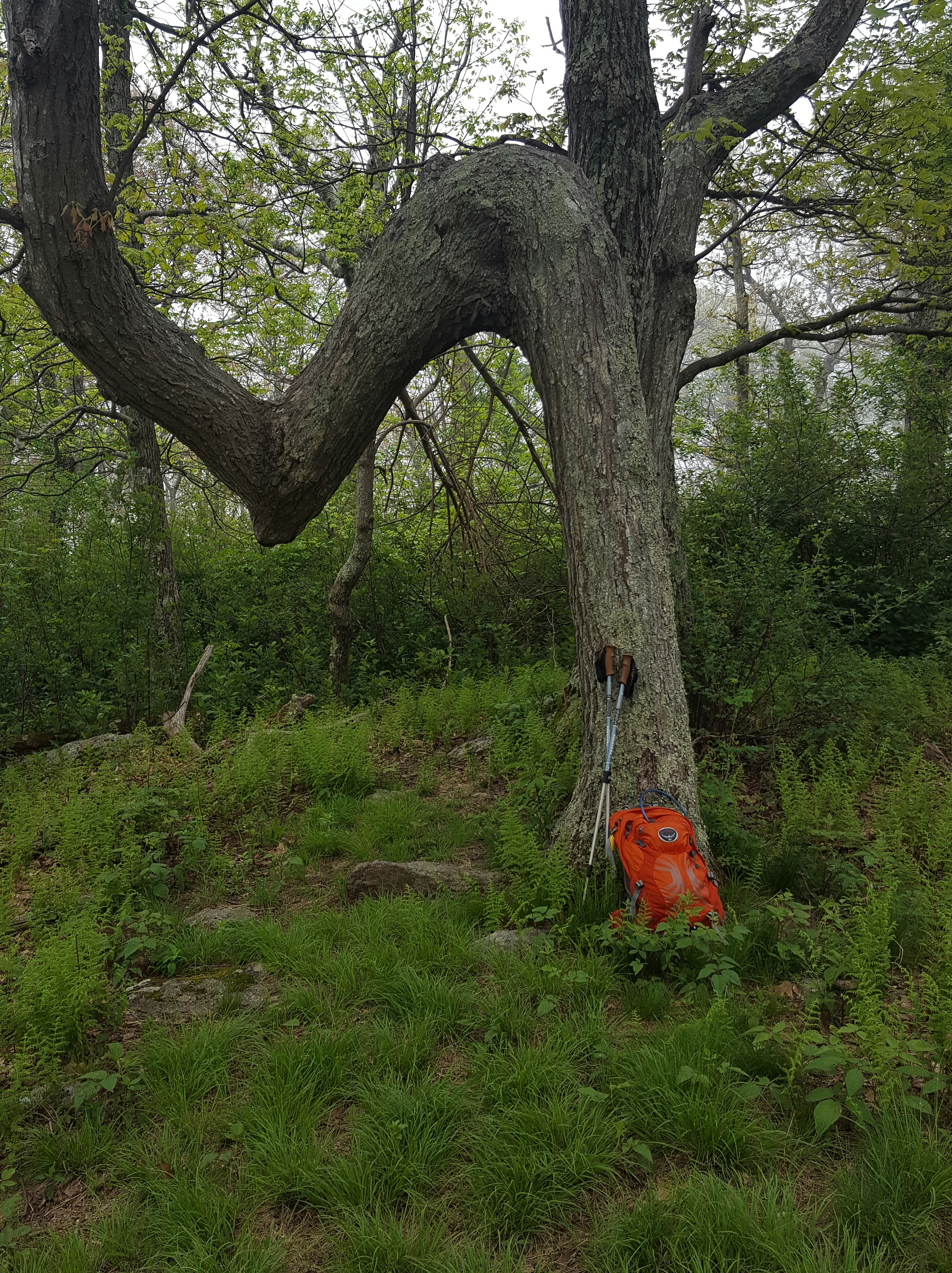
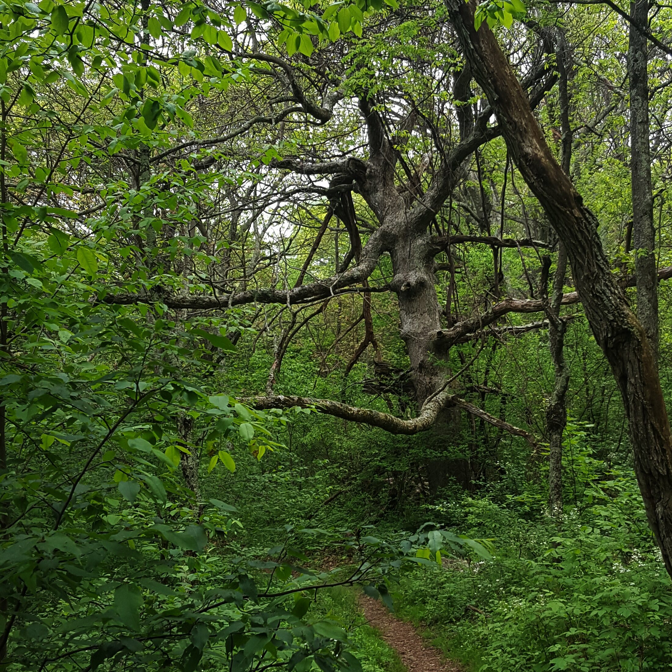
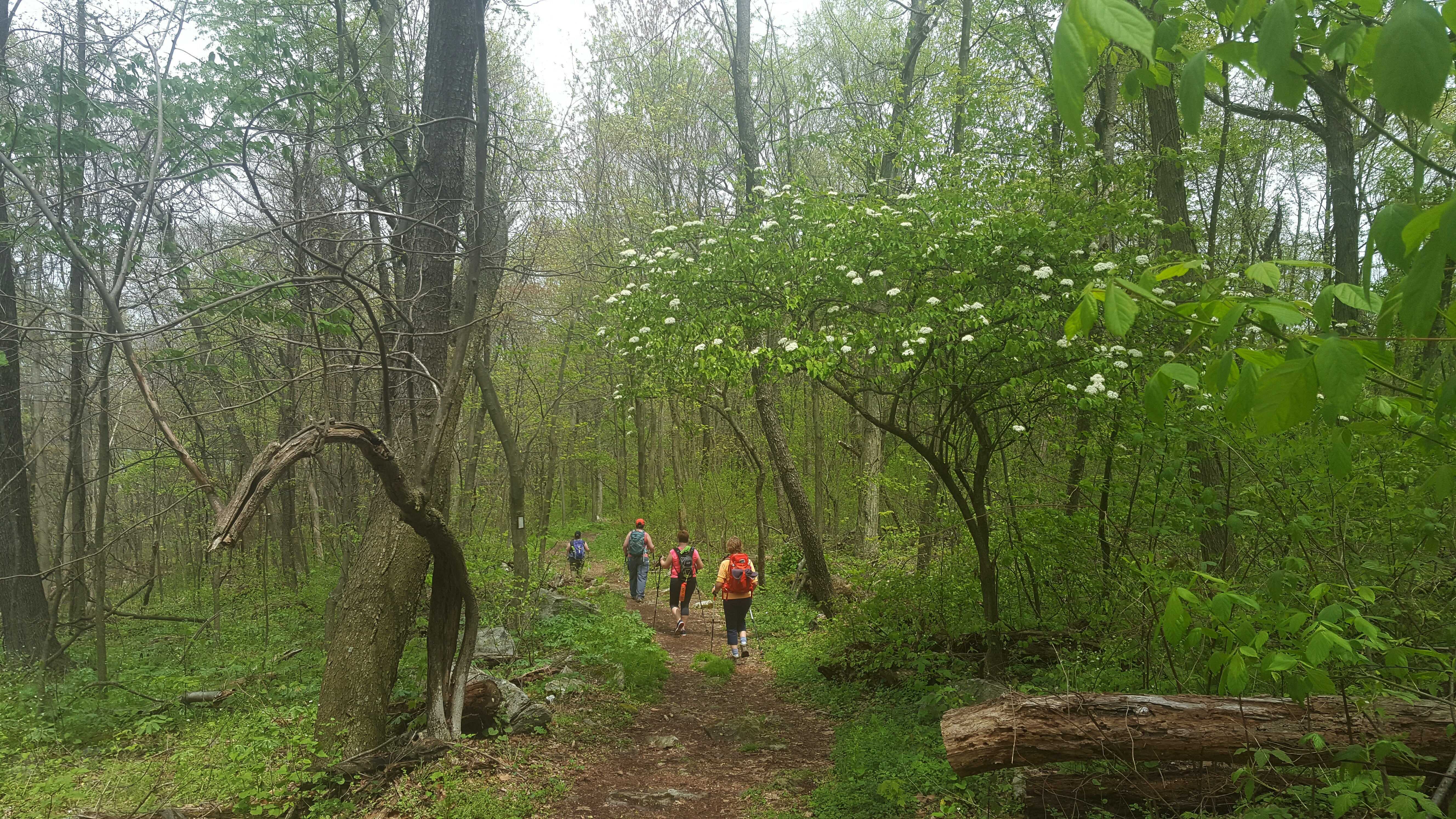
The woodsy trail was a delightful change from the rugged, eroded trail into the NOC I’d hiked the day before.  Lush green engulfed us all of the way to Tellico Gap.

DSC01231

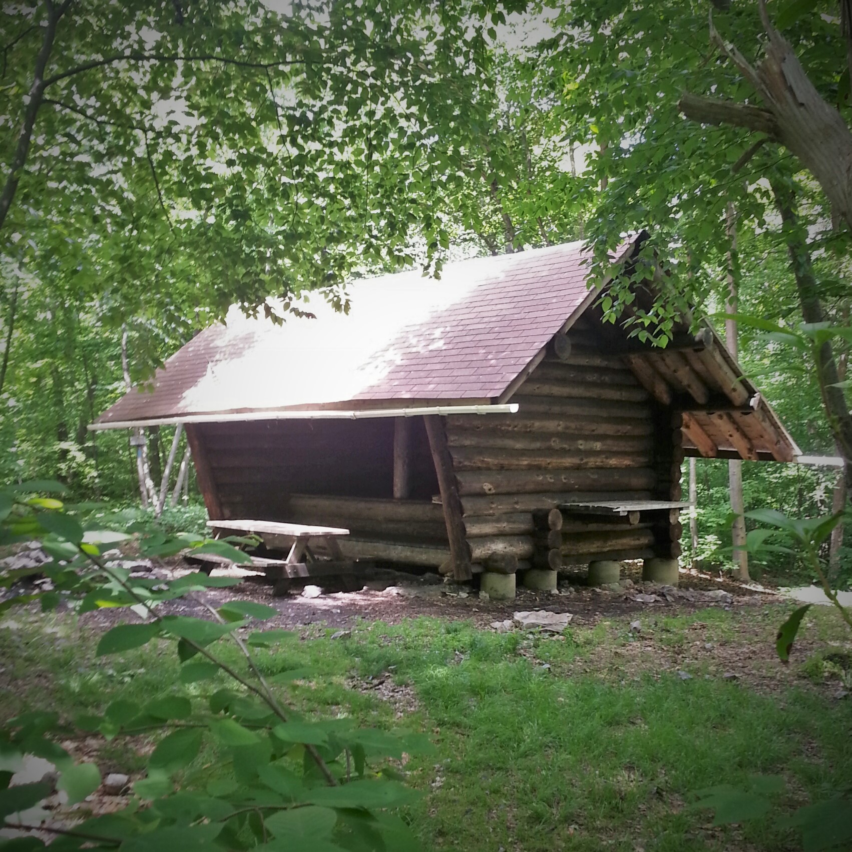
It was a long hike with my pesky blisters making themselves heard with every step after four miles.  At the shelter I sat down for a break…a real break…and changed the bandages on the blisters.  After about 25 minutes, Momma Puma indicated we needed to get moving, so I regretfully pulled on my boots.
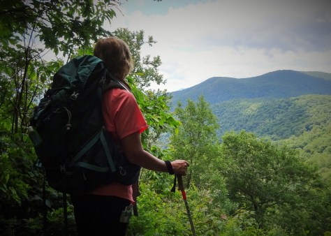
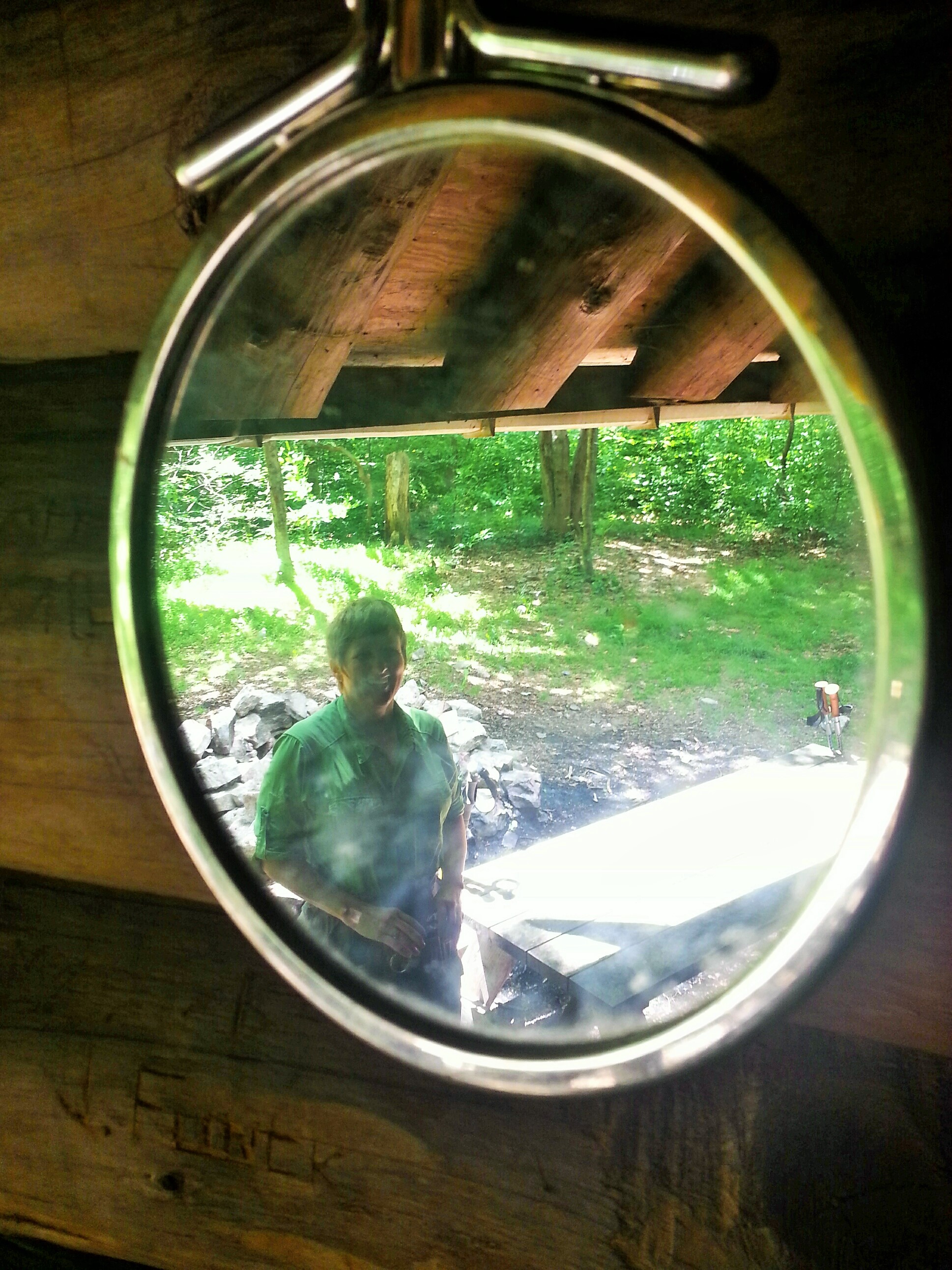
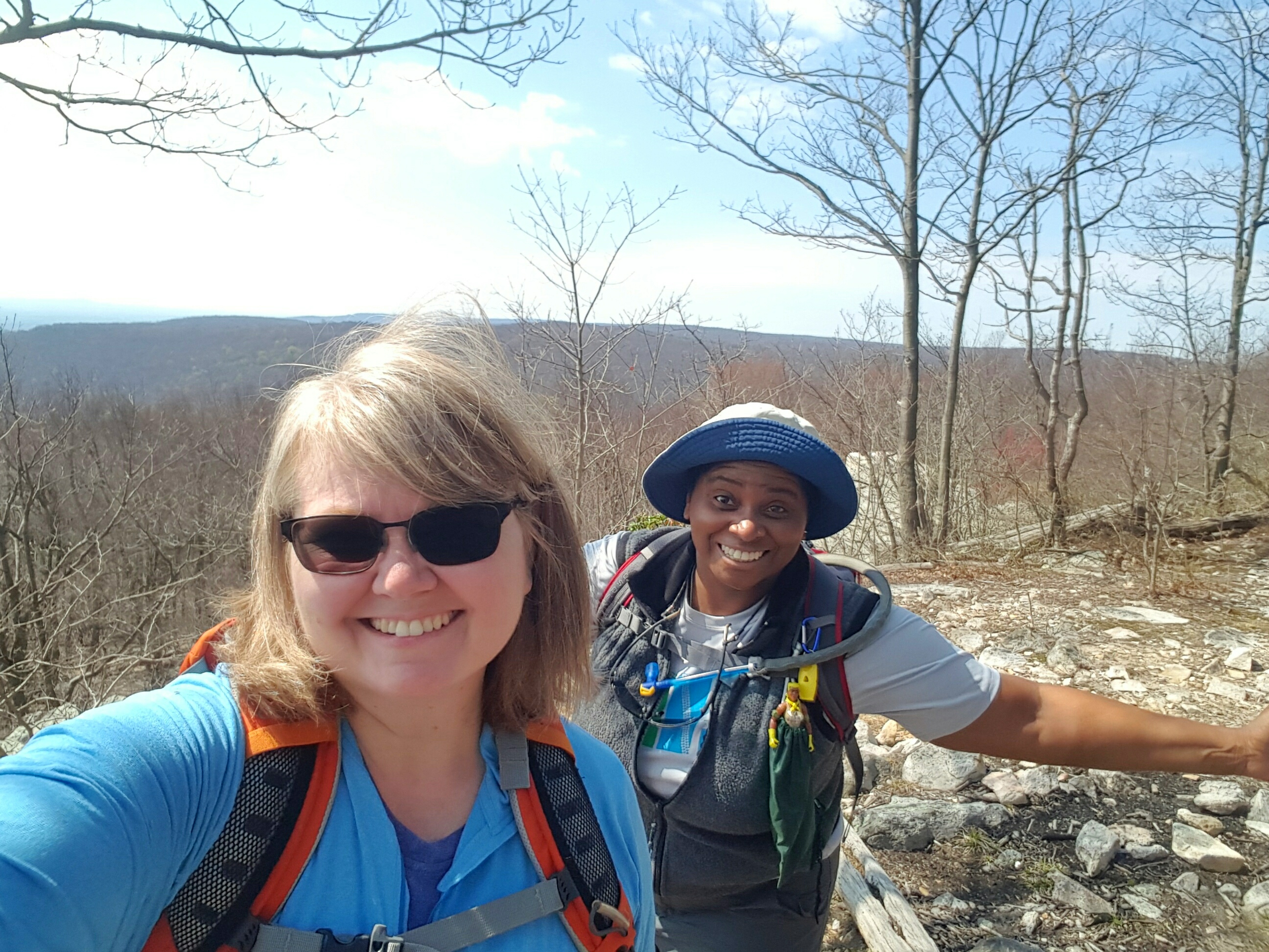
DSC01235

Momma Puma

The new bandages were helpful, but as we neared Tellico Gap I was singing “Tellico, Oh Tellico, these old boots have got to go” as my feet screamed for freedom.  You do whatever gets you down the trail!

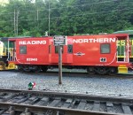
Yes! The light at the end of the tunnel was NOT an oncoming train!!! After being teased with peeks at the fire road for a mile or so, we reached the parking area at Tellico Gap.  Flip flops here I come!

DSC01246

In my trusty RAV4 once again, we drove down the not scary side of the mountain, then made two more stops: 1) back to Momma Puma’s truck at Wayah Bald, then 2) repark my car at Winding Stair in preparation for my last hike for this trip…Wayah Bald to Winding Stair.

Blisters be quiet because I am hiking on!


AT -VA Gravel Springs Gap to Elkwallow Wayside 

I led this hike for the Maryland Trail Dames.  Seven women had RSVP’d and I knew for sure that four were coming because three were riding in my car and another was following in her own car.  Twenty-four miles south, after entering the northernmost gate at Shenandoah National Park, I pulled into Elkwallow Wayside.

I saw MamaPuma waving at me as she stood beside her big ass awesome pick-up truck. I pulled around, and we all quickly worked out who would ride with who back to our starting place, Gravel Springs. BUT WAIT! We must all go to the bathroom! Jees, is it at all possible for a woman to need a public restroom and NOT END UP waiting in line?!! 🤔

Okay, now in the cars, we headed to Gravel Springs.  “Just after mile 18, look for mile 18!” I called out.  Several minutes later, just after mile 18, cars ahead of us slowed. “Look! Look! Look!” I exclaimed jabbing my finger at the right windshield.  A mama bear lumbered slowly across the road, stopping to look over her shoulder.  I followed her gaze. Oh, there are cubs!  Her babies still cowered on the opposite side of the road clinging to a tree! 

A bear! Right before Gravel Springs! Maybe we would see them again! 😀😀😀

We parked, and of course, we were all very excited about the bear! I was on high alert as we started down the trail thinking mama and her cubs might cross our path. 

Coming to the first crossing of Skyline Drive, I let a little sigh of both relief and disappointment escape. Oh well, maybe next time bears. 

The AT is very well behaved, with a gentle incline, for the first two miles south of Gravel Springs, with a beautiful view just a bit before Little Hogback Overlook.

Then it was one, two, three, four…whew, five, six, seven, …ugh…eight switchbacks to reach the summit of Hogback Mountain. And no view. Whaaaaat!? A trail post promised a hang glider site which never materialized. That is a crime upon Mother Nature herself!!! No view. Harrumph. 

Still amazing though with fog floating through the tops of trees, the forest floor a carpet of verdant green, and the last of Azalea blossoms clinging together as if protesting the end of spring. Very Hansel and Gretel.

Once more across Skyline Drive to a very cool lunch spot! What a find!

Claiming this as my Spirit Tree!

It was all downhill now! The last mile was an easy slide into Elkwallow where we again mobbed the bathroom, then celebrated with Blackberry ice-cream! Hike on!

Thanks to Overkill for this instaClassic!

I can smell summer from here!

I am in the last week of my semester, both at my own community college where I teach math, and at my grad school where I am working on  second masters (for promotion…and the learning…).  Four days, peeps, FOUR DAYS!

I am ready for a break and am patiently crossing my t’s and dotting my i’s until Friday when I can officially close out this semester. It’s soooooo close I can barely stand it! 

My days have been filled with math, math, math, along with brief intermissions by the great outdoors.  No time for a big post today. Just want to share some pics of recent hiking adventures! 

Ahhh summer, I see you coming and I am all set…hike on!

C&O Canal near Shepherdstown, WV

Me (BoobOnARock) & BearSpray at Bob’s Hill overlook

Leading a TD Hike – Crossing Burnside Bridge at Antietam National Battlefield

Me (BoobOnARock) &Sidekick Pauli at Monocacy National Battlefield

Lunch spot at Sky Meadows SP

Leading a TD Hike on the Appalachian Trail in Maryland (between Pogo campground and Wolfsville road)

AT-PA Rt183 to Port Clinton 6/6/2015

I’m back Pennsylvania!

Thank goodness I found a hiking pal in PA! It has been a lot of fun hiking these last couple of sections with Cindy, trail name “CanDo”.

This time around, I got to the parking area off Rt. 61 in Port Clinton with no major drama, just a little rerouting around Harrisburg due to roadwork.  It is a nice little lot south of the town and has a blue blaze to the AT.  As soon as I got the car backed into a spot (beautifully I might add), a text came in from CanDo.  “I’m in the Rt. 61 lot.”  Ummm…but I am in the Rt. 61 lot and it was clear she was not.  This was soon sorted out…two lots, different sides of the highway.  My lot was deemed the nicer choice to leave a car, so CanDo picked me up and we headed down to the Rt. 183 gameland parking lot.

Pulled in, gathered our packs, then headed up the gameland road to get to the AT.  It was 8:45 and 15 miles were ahead of us.  I like smaller goals, so I set my sights on Eagles Nest Shelter, about 6 miles in.

Intersection of the Gameland Road and AT...right turn and off we go!

Intersection of the Gameland Road and AT…right turn and off we go!

A deer jumped to the side of the road flicking his white tail before disappearing for good into the woods.  Good morning to you too, little deer!

Reaching the intersection with the AT we also disappeared into the woods, taking a right, headed north.  There were no climbs initially, just a few rocky spots, so we soon found ourselves passing Black Swatara campsite and spring. The campsite looks to be large enough to serve a group comfortably.  Someone has handcrafted a gorgeous sign for the site!

image

It was a wonderful day for hiking! The rain had finally cleared out leaving us with a morning of cool temps, blue skies and refreshing breezes! The trail was a regular amount of rocky as we stomped on towards Eagles Nest shelter.

Only another two miles until the shelter!

Only another two miles until the shelter!

Eagles Nest Shelter has windows and gutters!

Eagles Nest Shelter has windows and gutters!

The shelter was 0.3 miles off the trail, which meant we added a little over a half mile to our trip by stopping for lunch there. We opted to pass on another 0.1 mile to see the view since we would get an overlook further down the trail.

What a super respite!  We lolligagged for about 45 minutes before heading back to the AT. I took off my boots, laid back on the shelter floor and propped my feet up on the wall. Ahhhh!!!

This shelter even has a mirror!

This shelter even has a mirror!

Taking a break fooled my mind into thinking I hadn’t actually hiked this morning. So starting out after lunch was like starting anew on a 9 mile day hike, not the 15 we had originally undertaken. “I got this!” I said to myself.

The woods was still carpeted with thick ferns, but now the mountain laurel was beginning to bloom as well.  Just gorgeous pockets of mountain laurel blossoms brightened up the darkness of the forest.  We walked through admiring all of it!

Another little break along the trail.

Another little break along the trail.

The miles were just melting away and I still felt good.  The guide book warns of the severe rockiness of the last six miles.  I found the guide book to be wrong in this case.  There were some spots of heavy duty rock hopping, but most of the trail just seemed like regular old Pennsylvania rocky!

Now this ... this is one of the REALLY rocky sections! :)

Now this … this is one of the REALLY rocky sections! 🙂

Feeling pretty triumphant at Auburn Overlook.

Feeling pretty triumphant at Auburn Overlook.

The hardest part for me was the steep downhill into Port Clinton.  Slow go there for sure.  My knees and thighs were relieved when we were in sight of the bike trail at the bottom of the hill. Then another short down on some very suspect steps and we were at the Port Clinton trail depot.  And since we had not had enough walking on rocks all day long…we proceeded to tramp all over the ballast to look at the trains!! Go figure…we are nuts!

Trail comes out to Fire Road, then turns back into the woods...almost missed this arrow!!

Trail comes out to Fire Road, then turns back into the woods…almost missed this arrow!!

Yay! Reached the rail trail!!

Yay! Reached the rail trail!!

The final assault, I mean descent, to the depot.

The final assault, I mean descent, to the depot.

IMG_20150607_075917 (2)

As we left the train depot, a guy stops and asks, “hey, you two know about the all you can eat spaghetti dinner?”  WHAAAAAAT?!!!!!  Oh, this was the best end to a hike ever!

Oh Yeah!!!!!

Oh Yeah!!!!!

All You Can Eat!!!! Yesss!!!

All You Can Eat!!!! Yesss!!!

All You Can Eat Spaghetti Dinner…$8.

Feeling like real hiker trash…priceless!

Hike on! 🙂