I understand, I think, why the battlefields are made for auto traffic…but to really get a sense of what a Civil War soldier might have felt you might want to get out of the car and walk. I only say “get a sense” because there is no way for me (with no battle experience) to really understand on any level what a soldier, who is carrying all his stuff, wearing a wool uniform, eating whatever is in the ration can, and who might be miles away from home, is going to feel lugging himself through some muggy, hot farm field in Maryland to fight in a war he may or may not understand.
When I began my walk this morning on Rodman Avenue (just off Route 34 east of Sharpsburg, MD), it was a pleasant 75 degrees. Probably about the same temperature on September 17, 1862, the bloodiest one day battle in American history. 23,000 soldiers were killed, wounded, or missing at Antietam…wrap your head around that number.
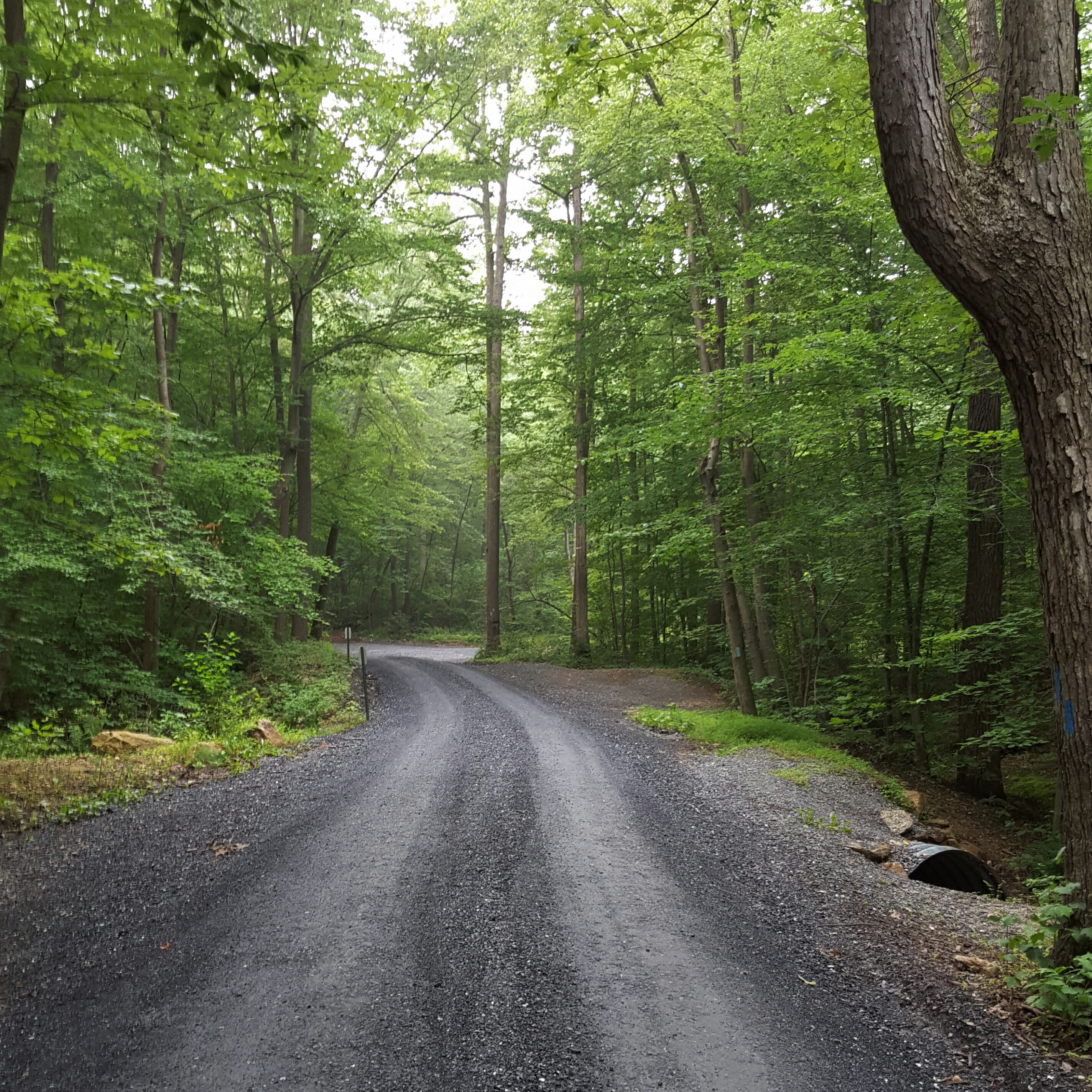
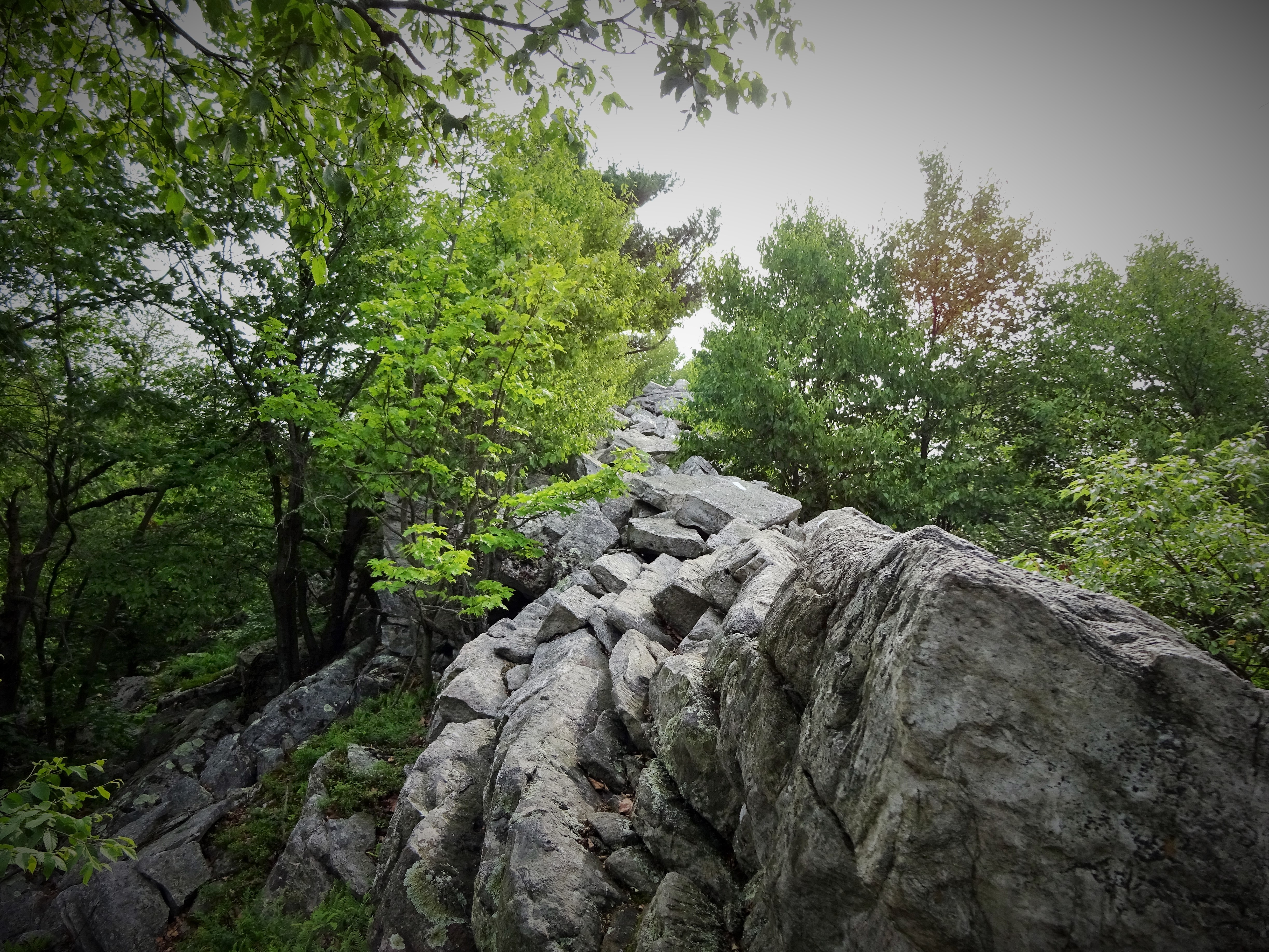
Walking down Rodman Avenue
Along the road, are monuments, similar to Gettysburg. If in a car, there is no place to park along Rodman Avenue or even pull over in order to get out and read the about the monument…of course this is why they have a podcast…so one will NEVER, EVER, have to get out of the car. Great for those who truly need it, but come on America, many of us are able to get out and walk!! Um…okay, I’ll stop now.
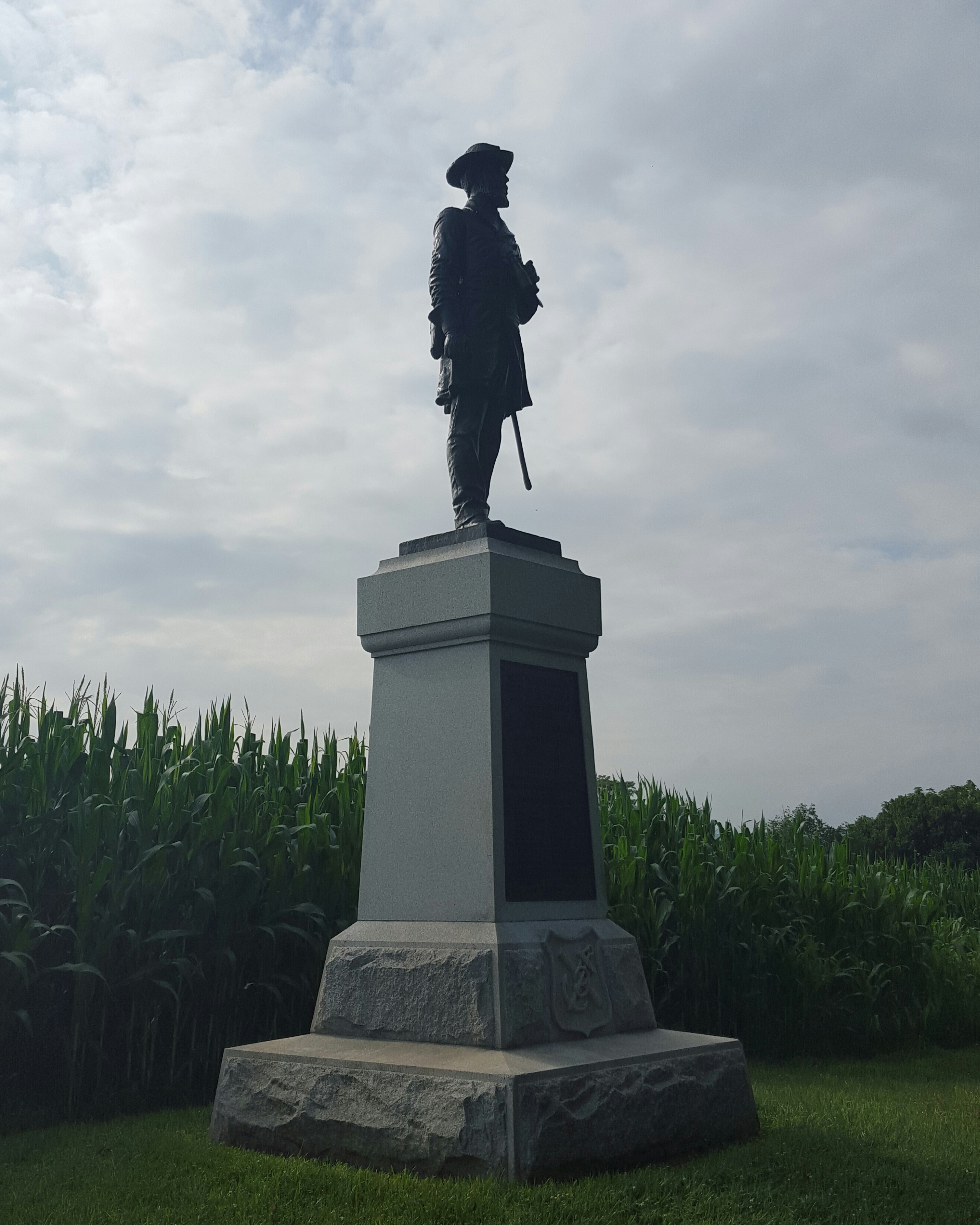
Colonel Benjamin C. Christ – Monument to the 50th Pennsylvania Volunteer Infantry (1st Brigade, 1st Division, 9th Corps)
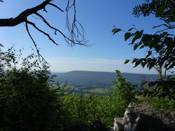
It is beautiful walking up the road. To the left are views of the mountains and Sherrick Farm and to the right are meadows blooming with wildflowers. It is an easy road walk and this morning it was pretty quiet. The birds chattered and flitted from the field to the meadow and back again, sometimes resting on the fence line before taking off again. There was a nice breeze, but I could feel the humidity bullying its way in and knew in a few hours this walk would be unbearable.

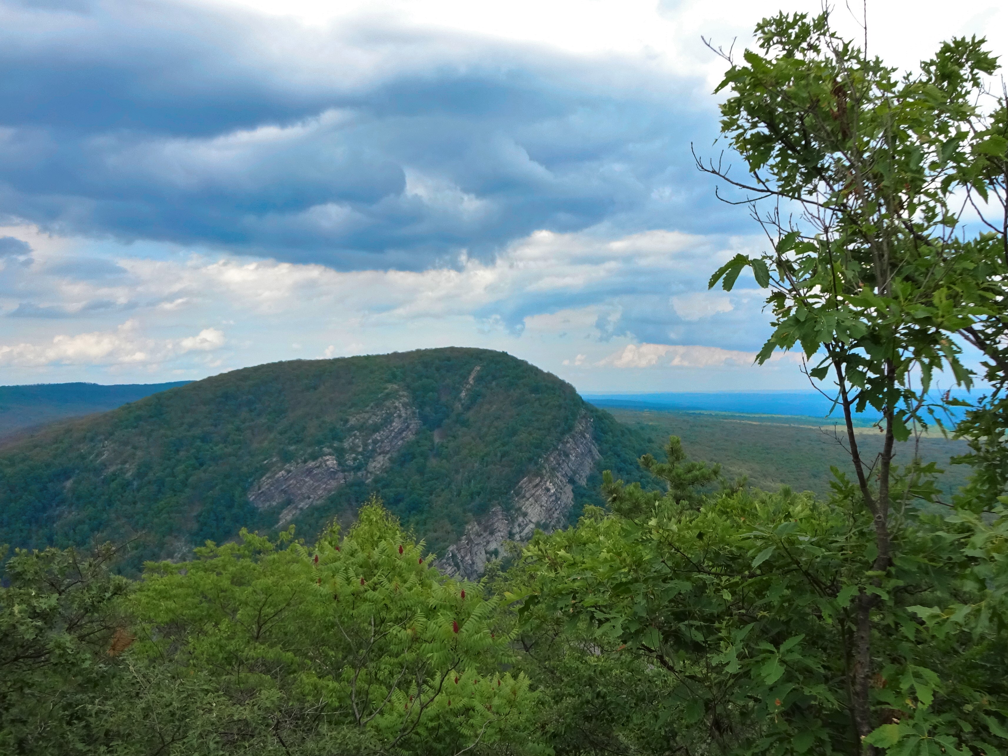
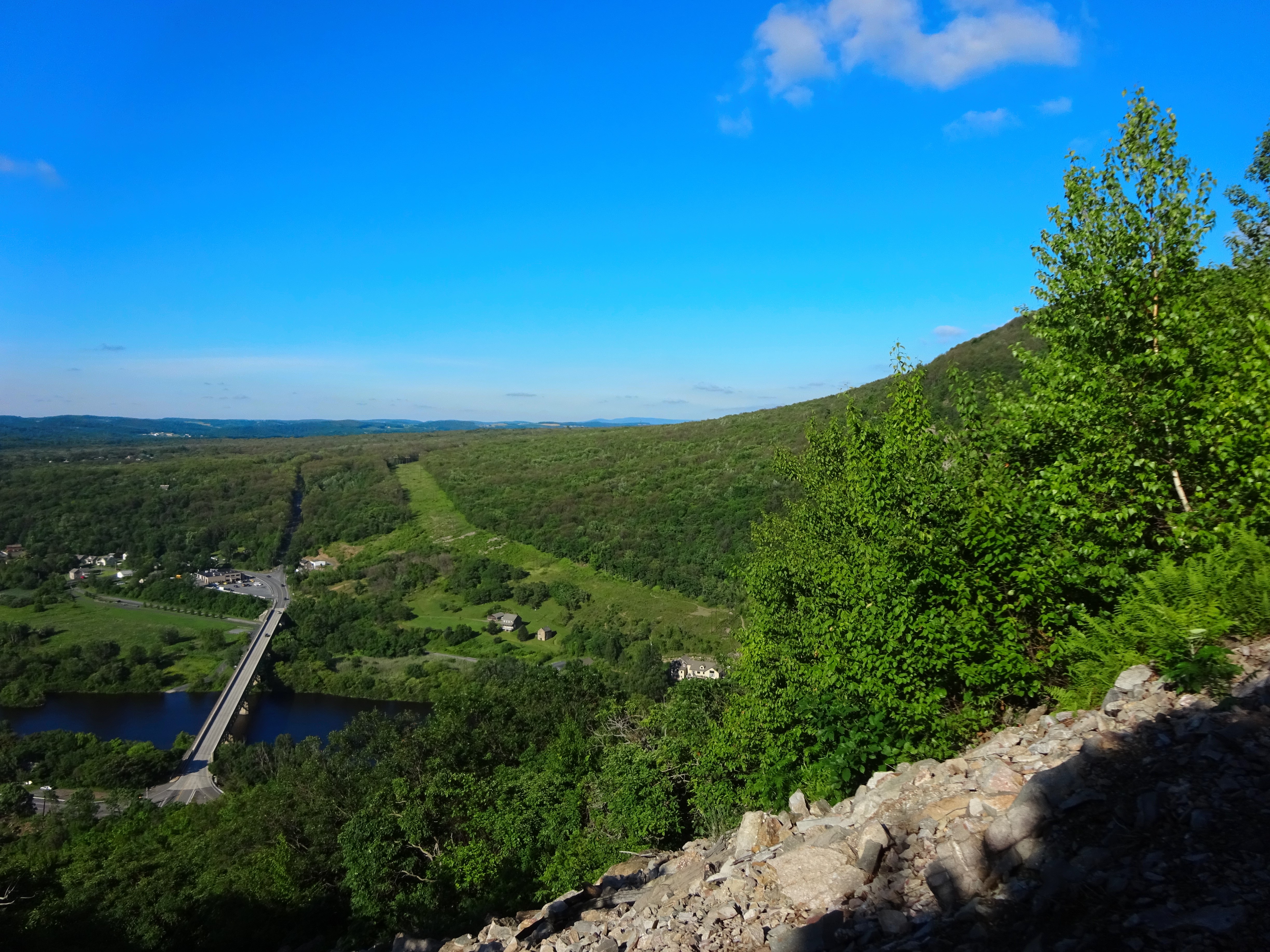
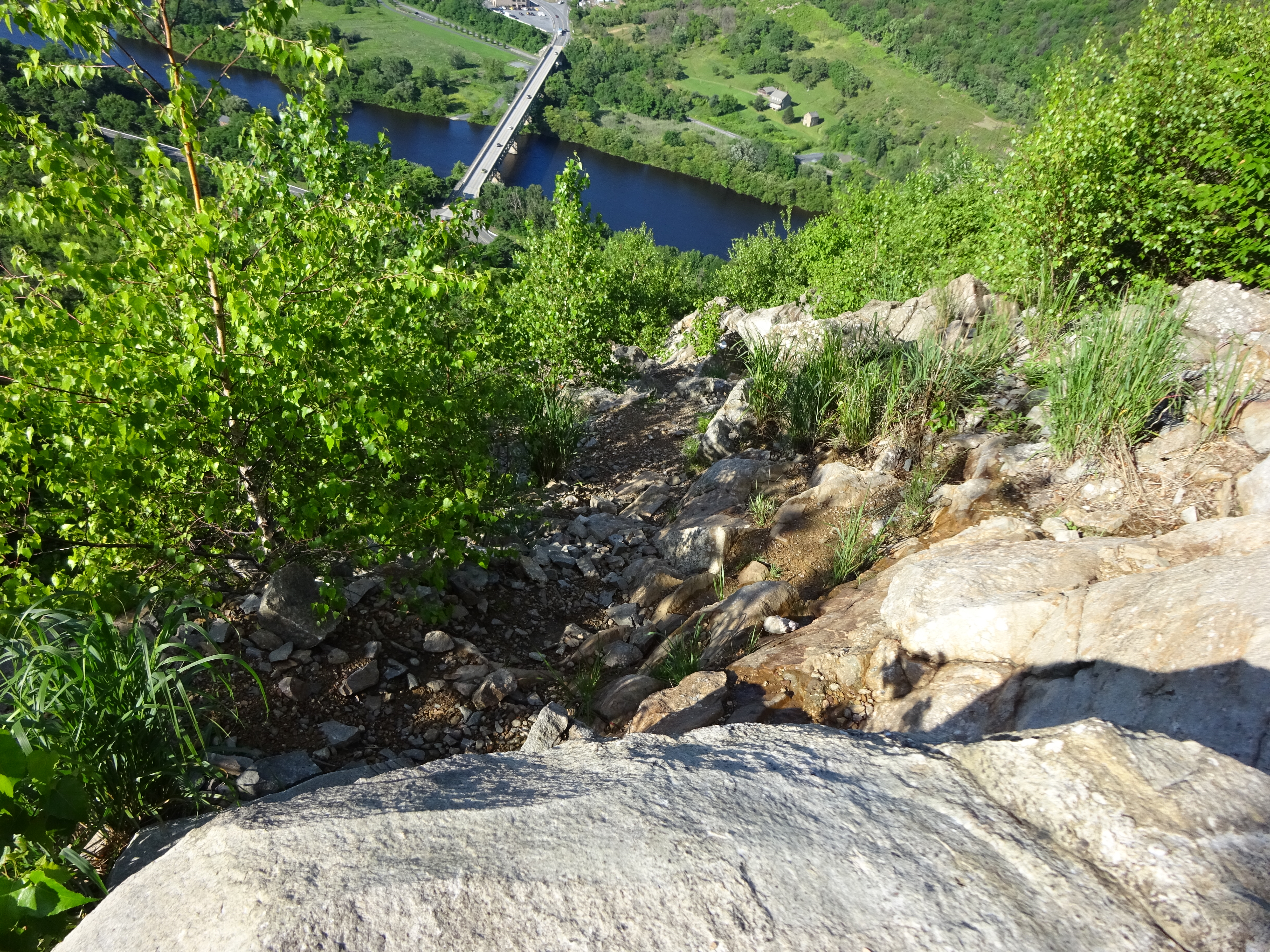
Good Morning Mountains!
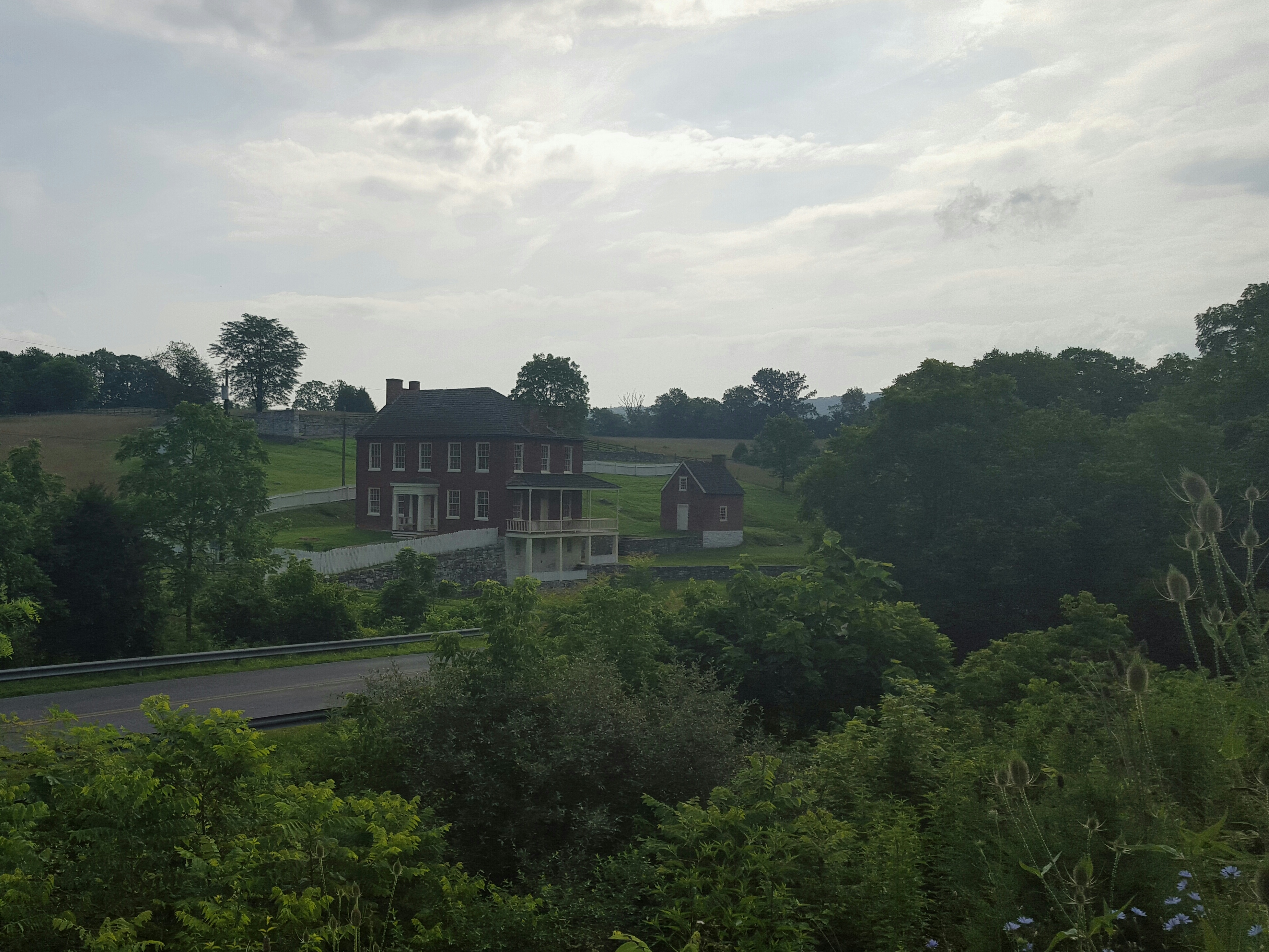
Bucolic Sherrick Farm
The fields were already heating up so I decided to hike those first, then dip down towards Antietam Creek. At the end of Rodman Avenue, turn left and continue to Burnside Bridge.

Burnside Bridge
I passed the bridge and continued to the “Final Attack Trail” as this traversed through many open, sunny fields.
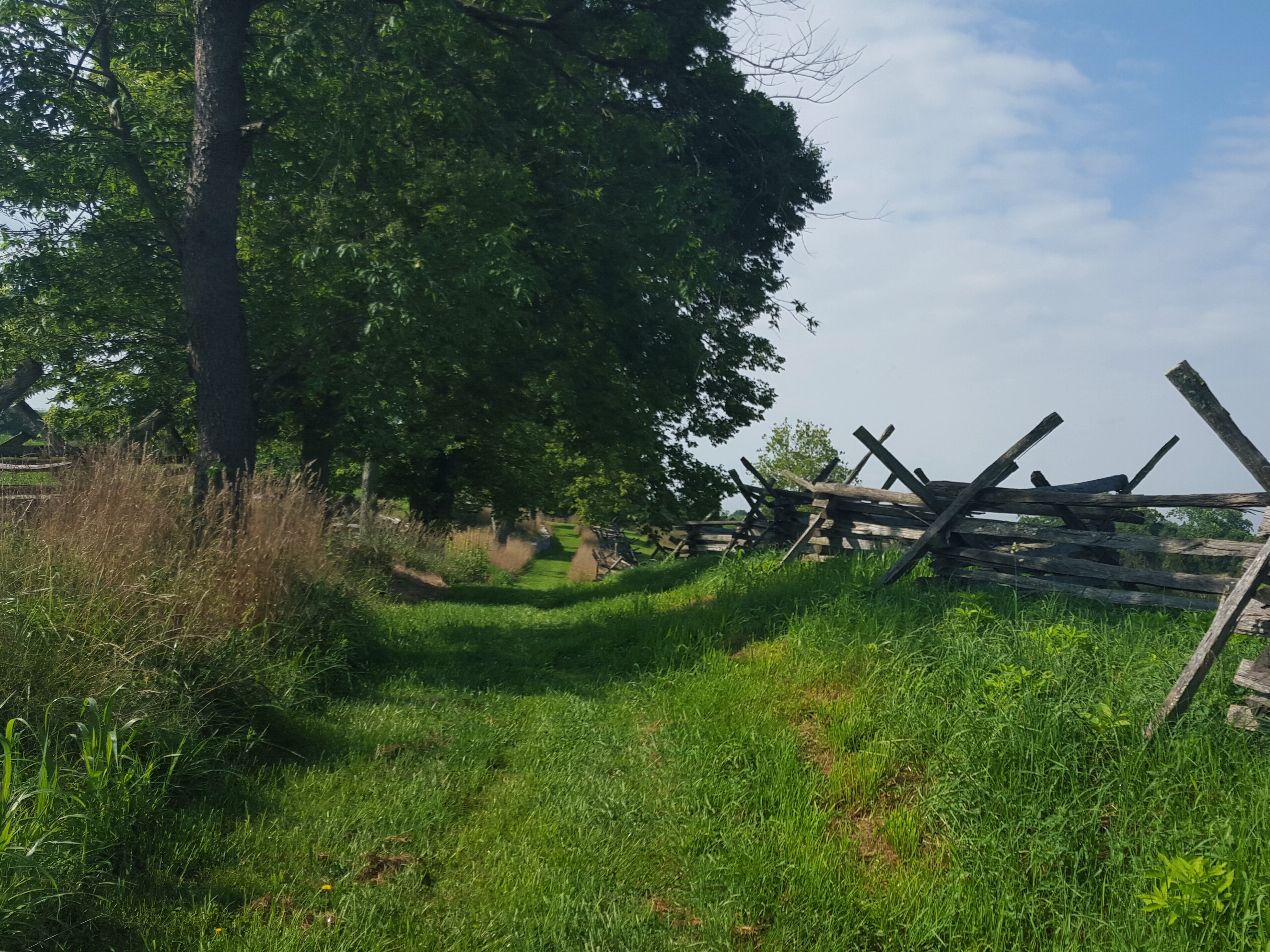
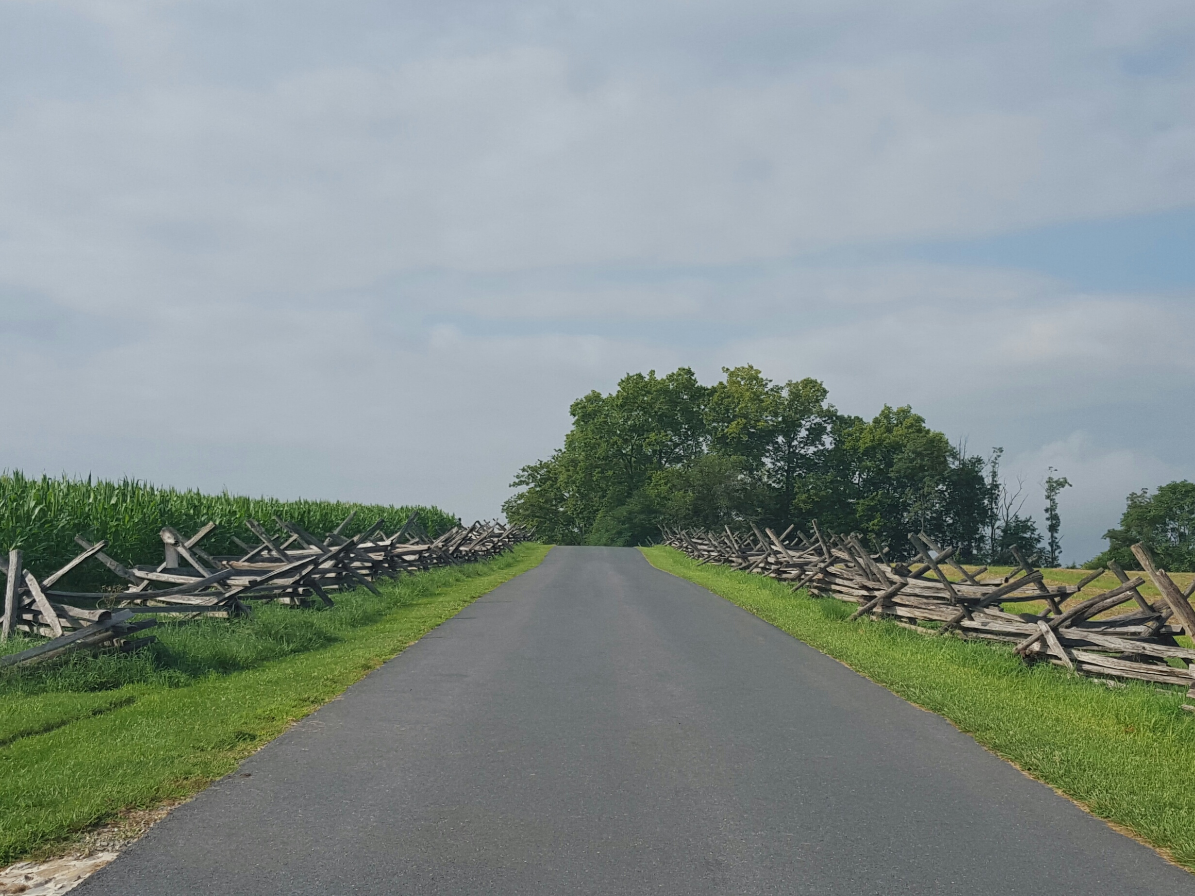
Along the “Final Attack Trail”…I love those fences…

Leaving the ridge on the “Final Attack Trail”
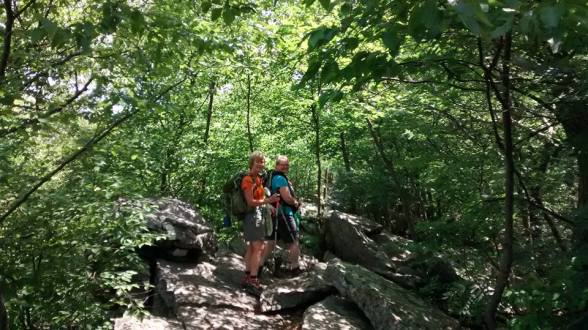
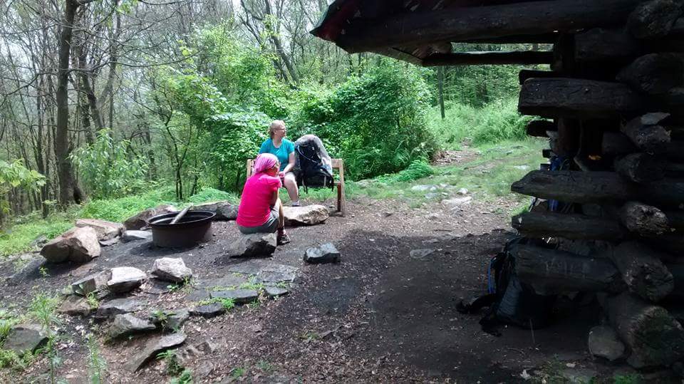
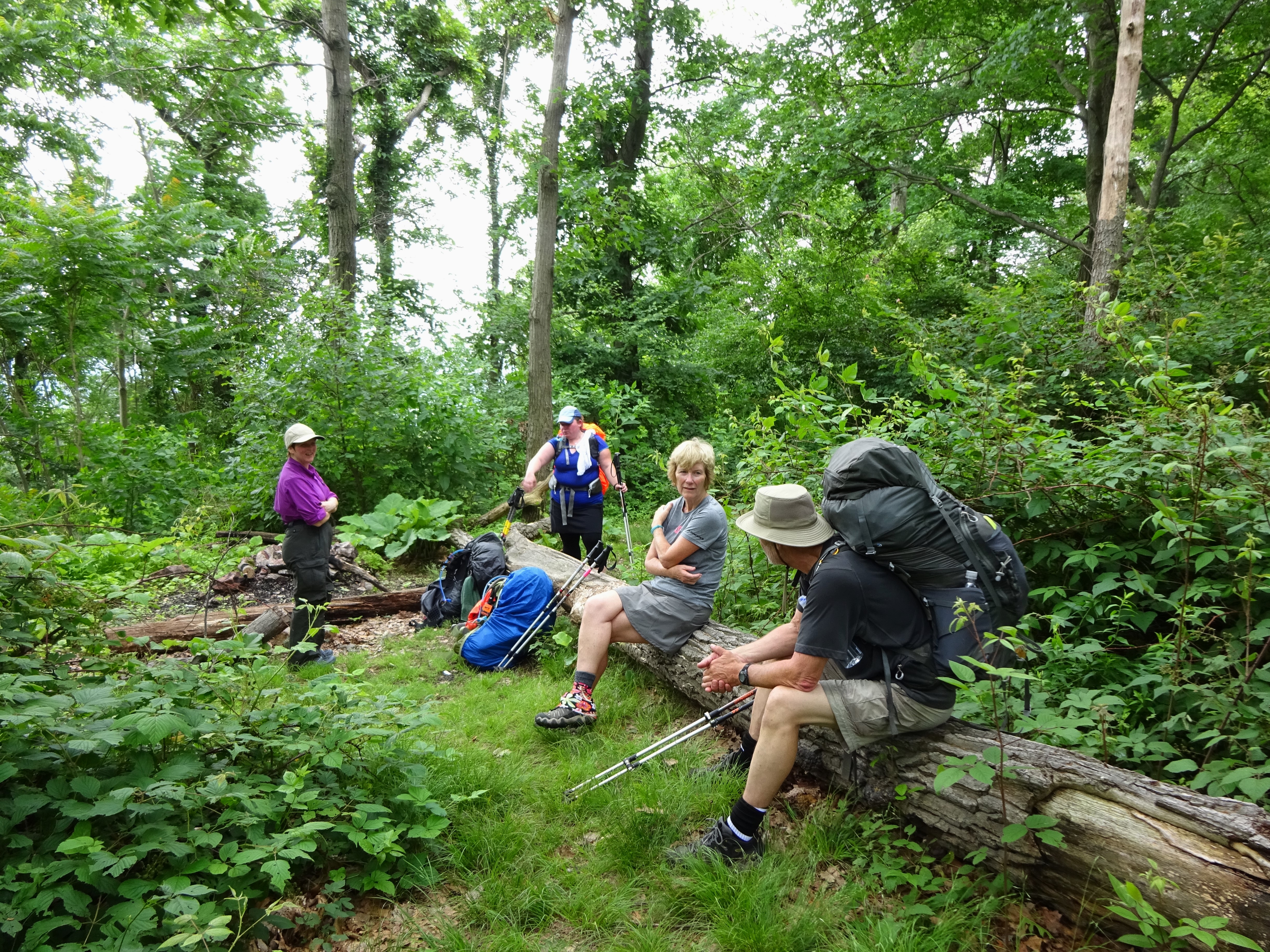
However, there are spots of shade to find respite! Sidekick Pauli and I found a wonderful tree under which to take a little break before heading back out into the field.
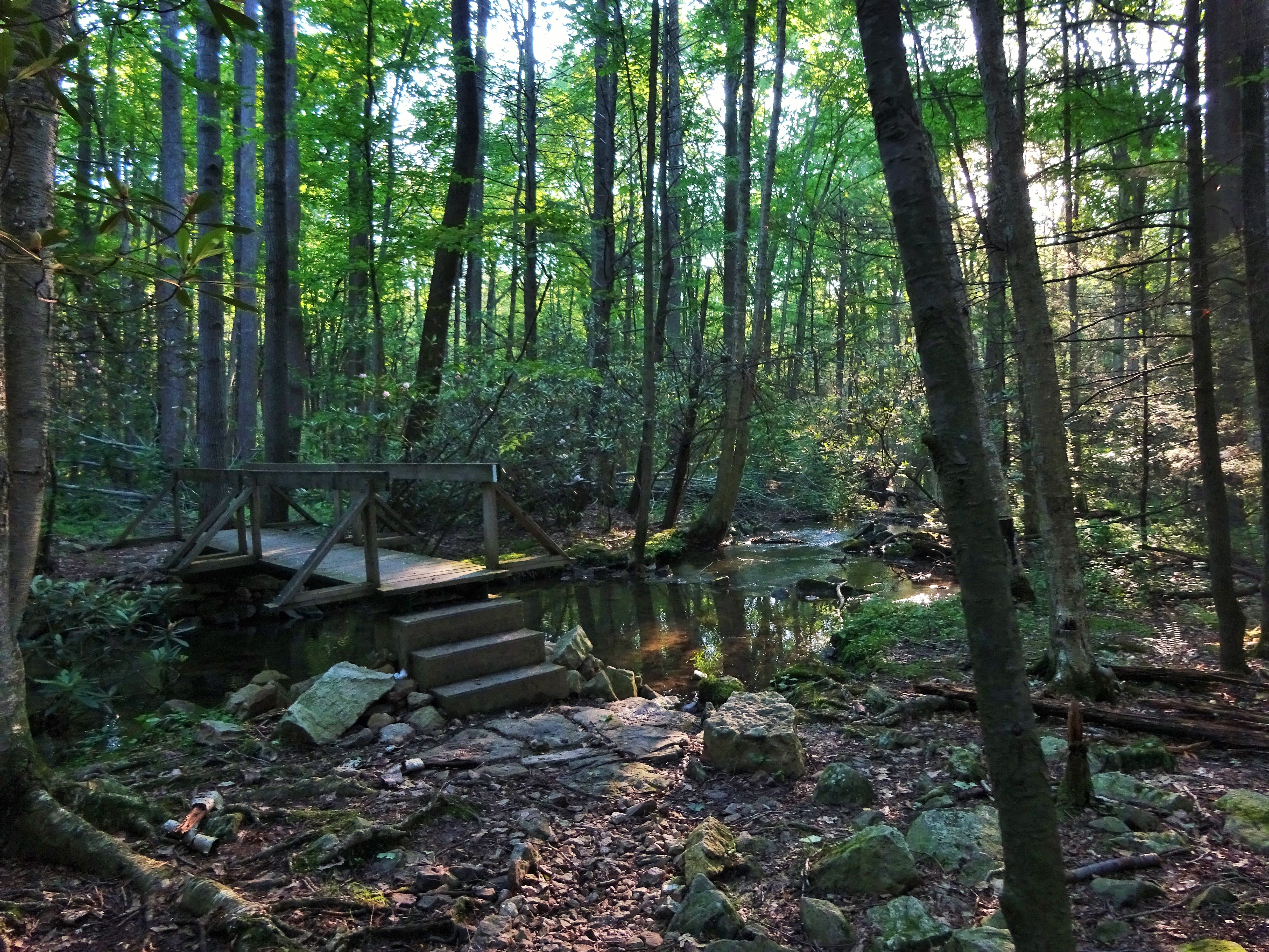
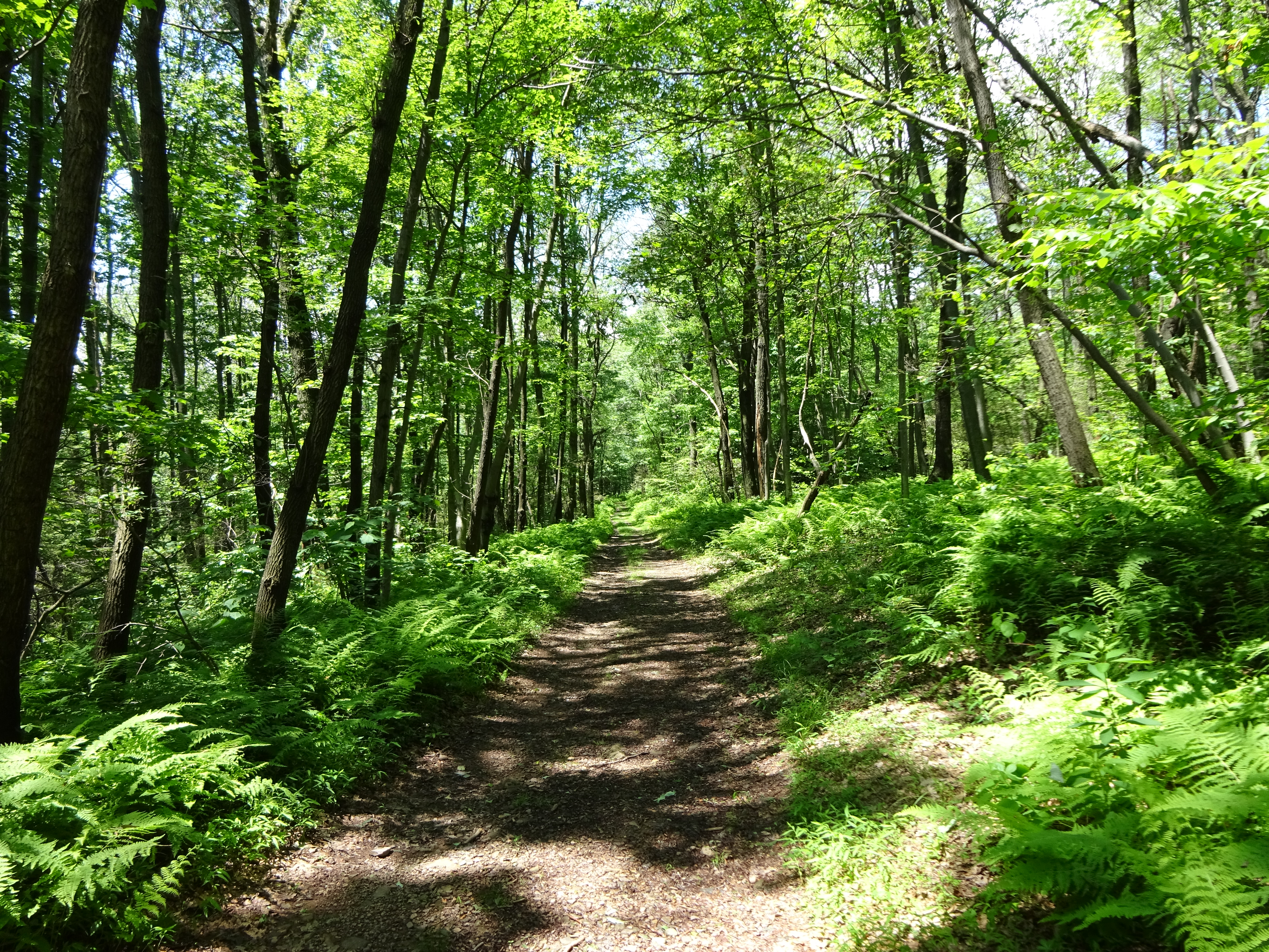
Then we were blessed with a longer walk through the woods. Nice and cool!

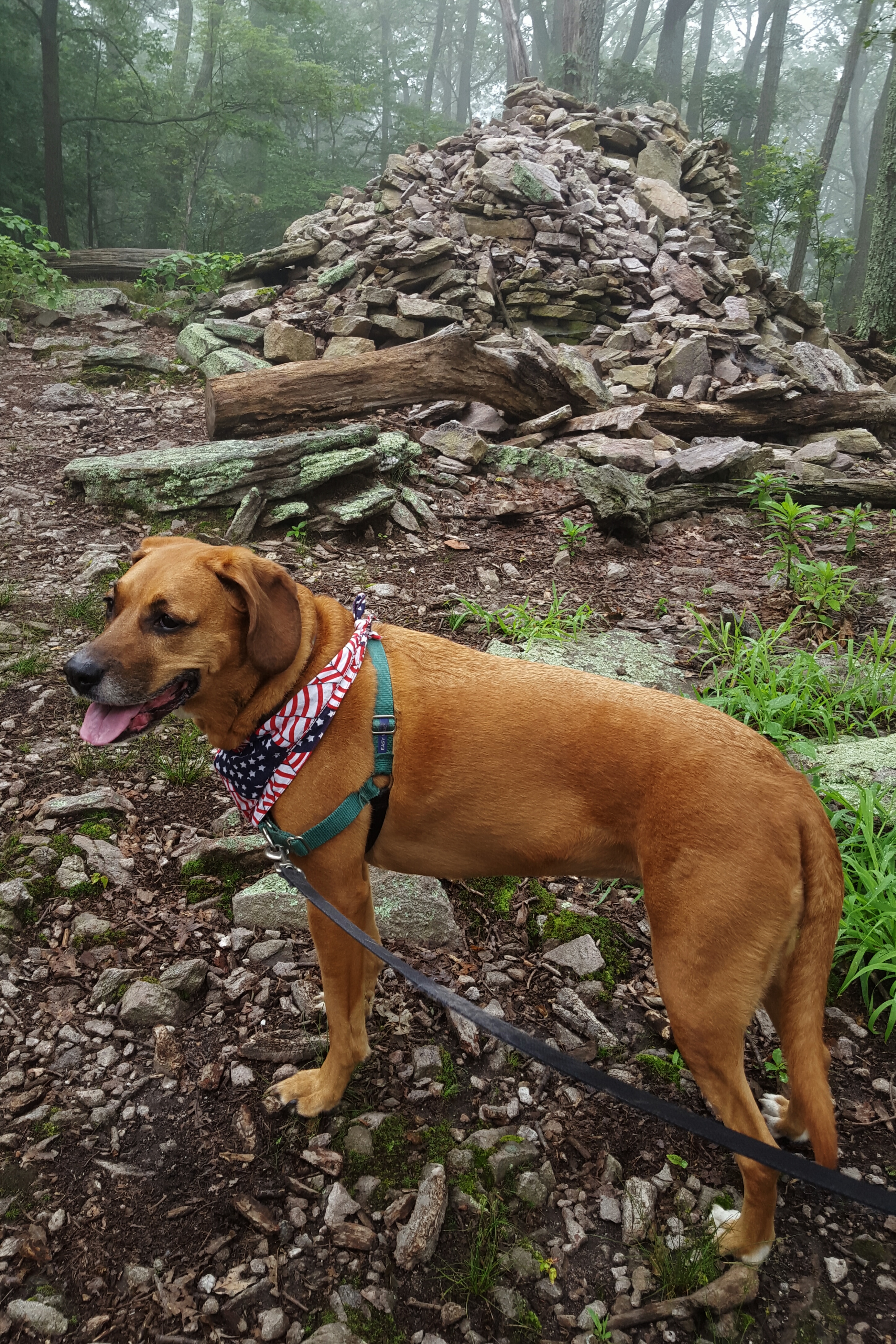
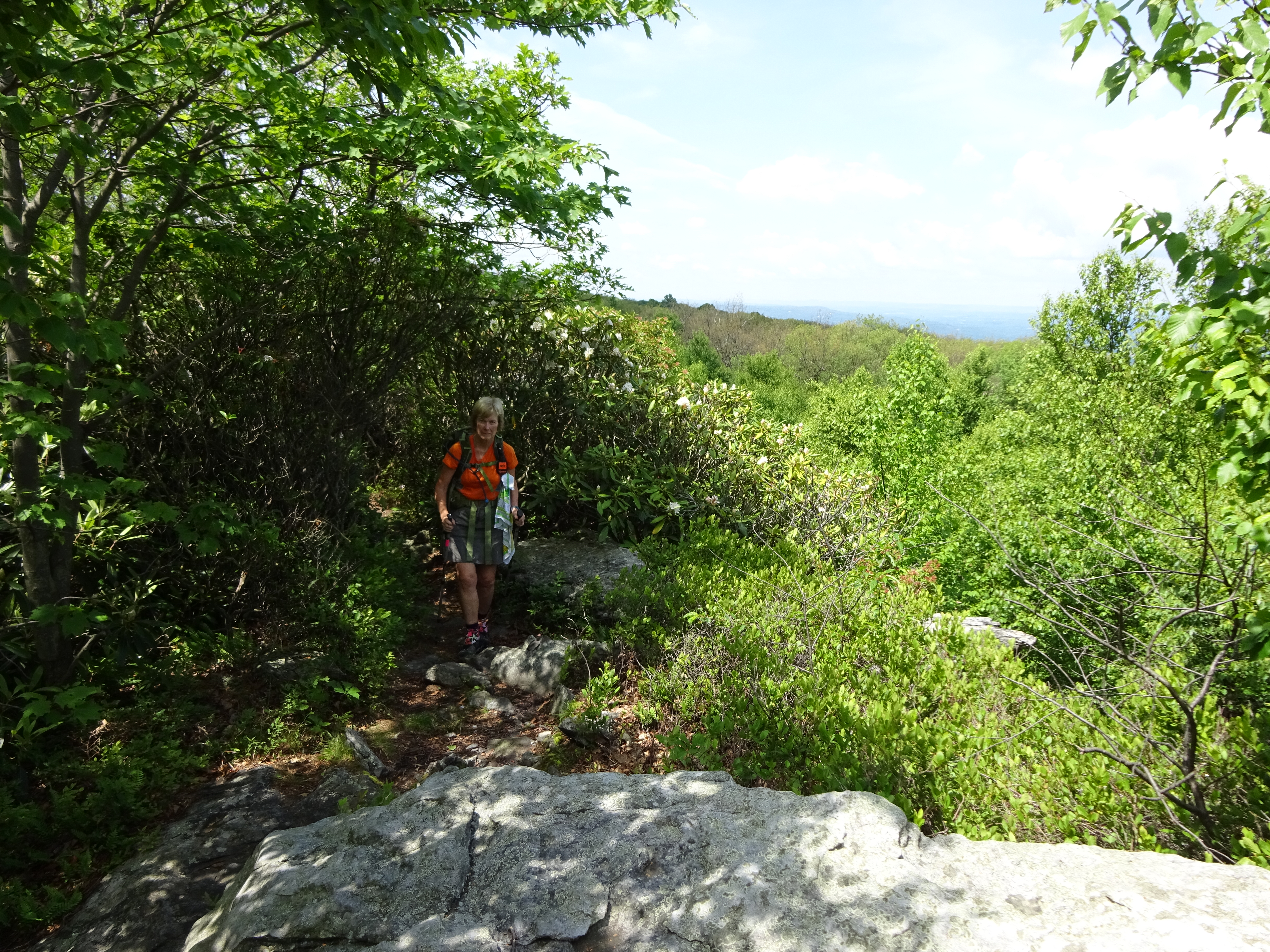
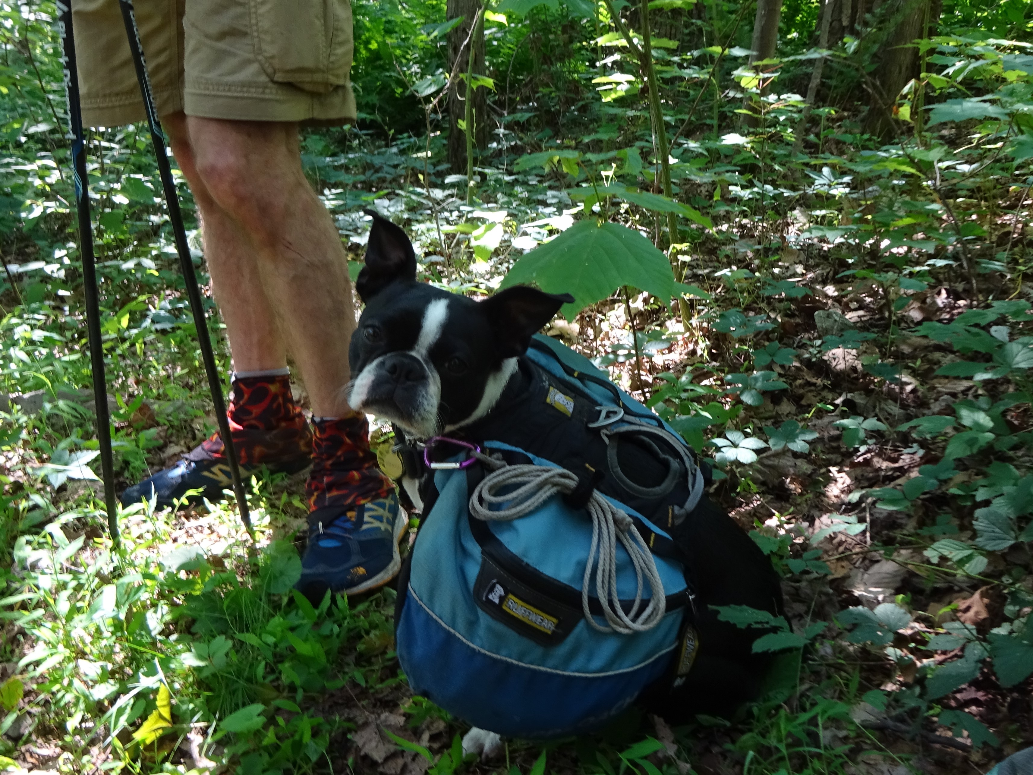
Sidekick Pauli’s Saturday Smile!
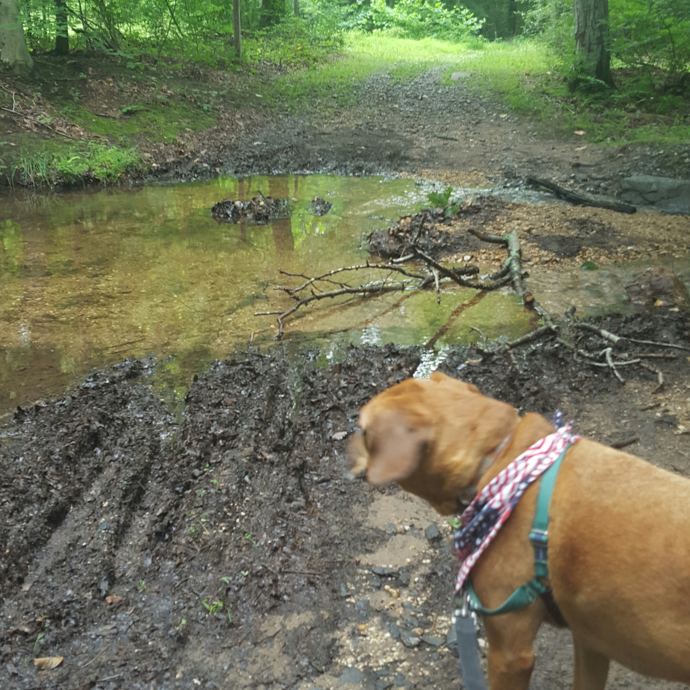
We stayed in the woods for much of the time as we wound our way down to the “Snavely Ford Trail”. Turn to the right at this trail junction in order to walk along Antietam Creek. Sidekick Pauli very much wanted to go to the creek as it meant she would be able to get in and cool off!!

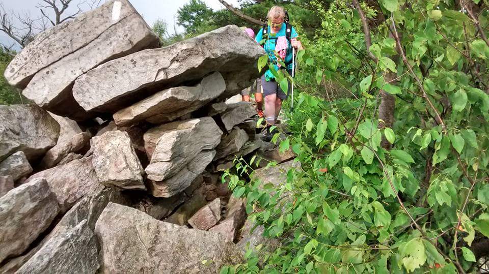
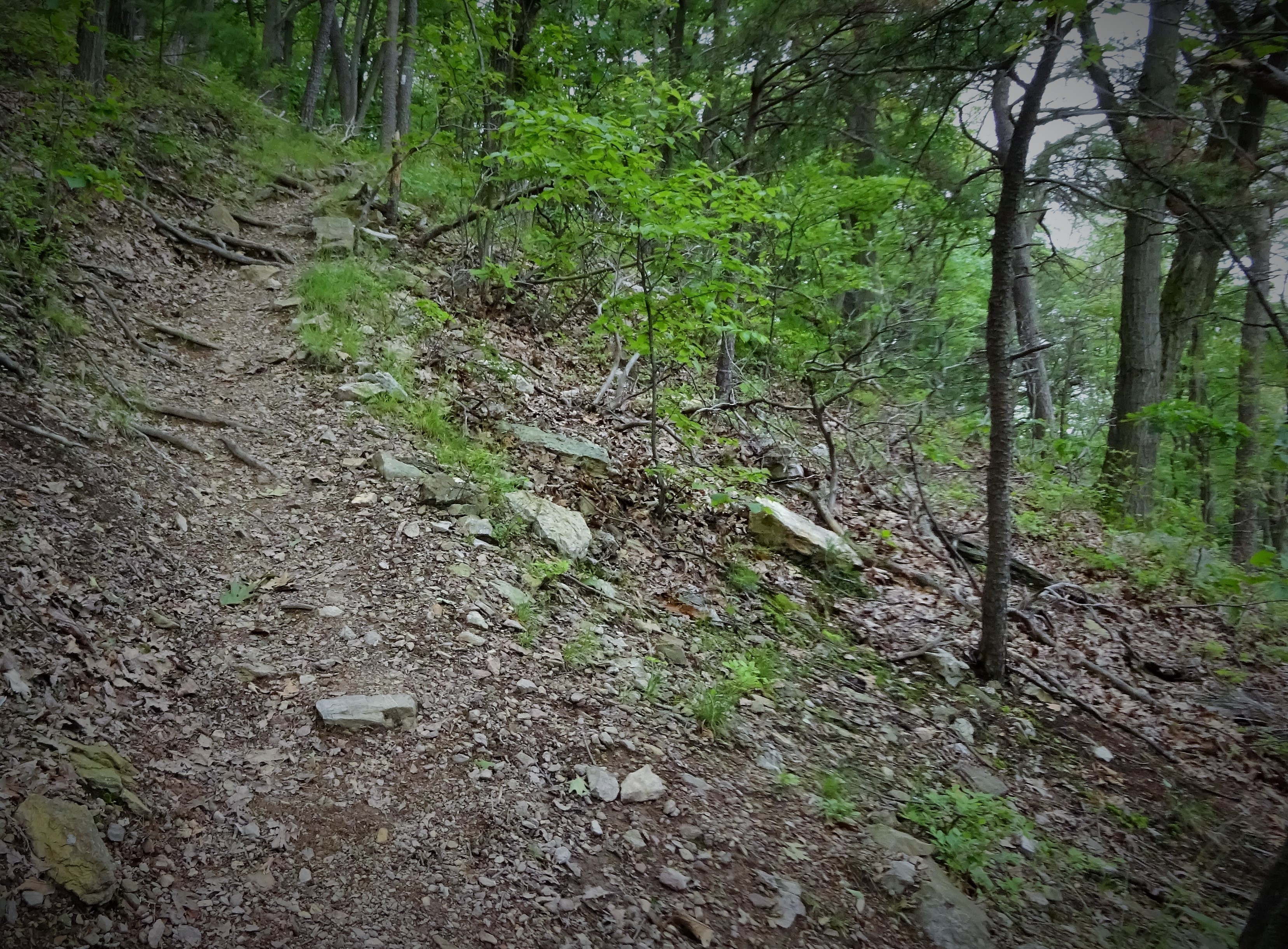
Where are my hedge clippers when I need them?
The trail is a bit overgrown at the moment and I sort of wished I had on long pants. That thought only lasted for a moment though as I was soon hot, hot, hot, climbing back up the hill to reconnect with the trail to Burnside Bridge.
We crossed the bridge and rounded out our hike by meeting up with the “Sherrick Farm Trail”. This trail is quite nice and passes a genuine swimming hole complete with a swinging rope!

Sidekick Pauli crosses Burnside Bridge

Beginning of Sherrick Farm Trail
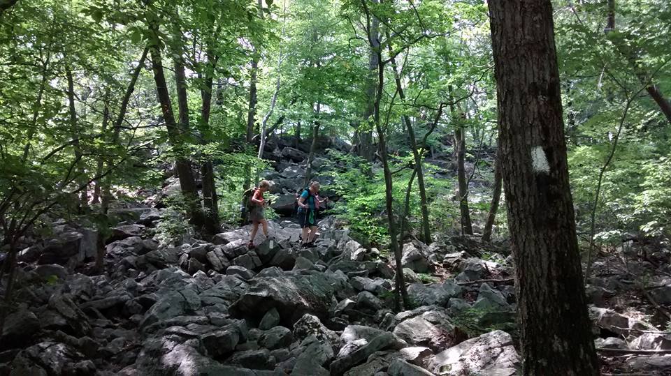
After the swimming hole, the trail goes uphill to meet the Burnside Bridge road. Take a left, cross the bridge, then take a right and continue on the trail. At this point, “Sherrick Farm Trail” starts to resemble a real, meaning more rugged, hiking trail and may not be for everyone…it is not bad, just a little slanty with roots and a few rocks.
It doesn’t last long! Sidekick Pauli and I were back at the car in no time!
This hike was about 4.5 miles long and included road walking, easy trail walking through rolling cornfields and along Antietam Creek. It is a beautiful way to spend an early summer morning.
So get out of the car and Hike On! 🙂