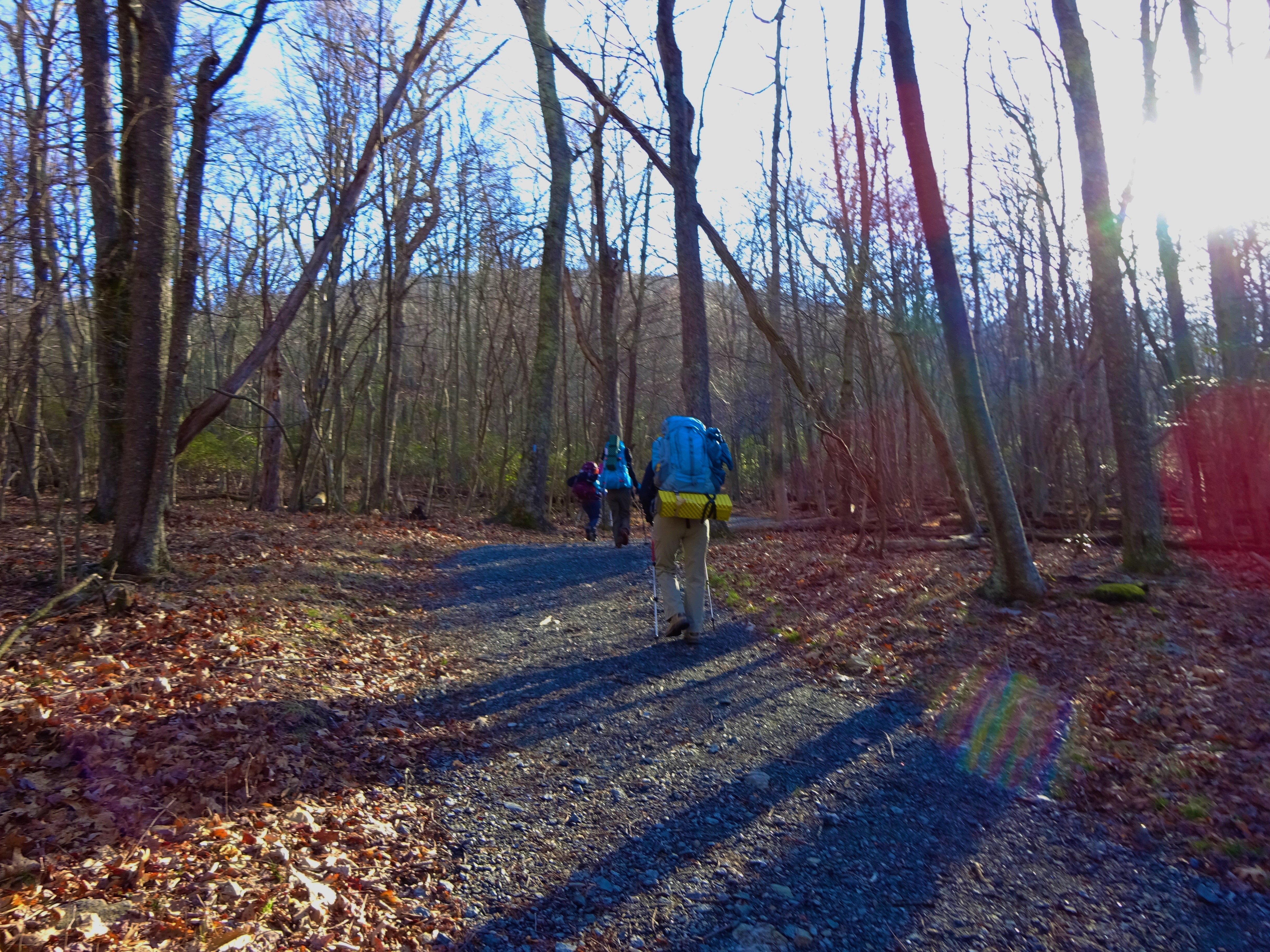
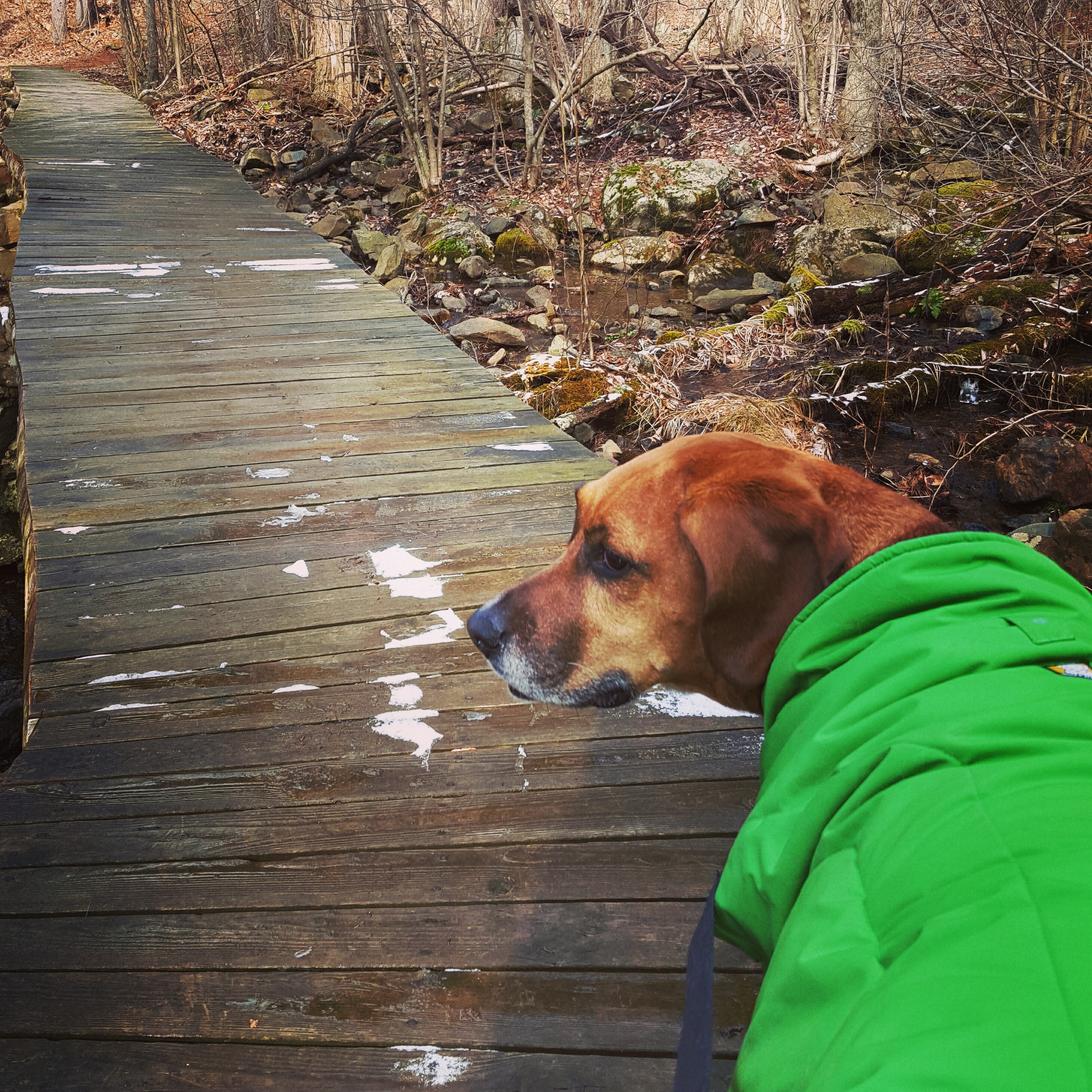
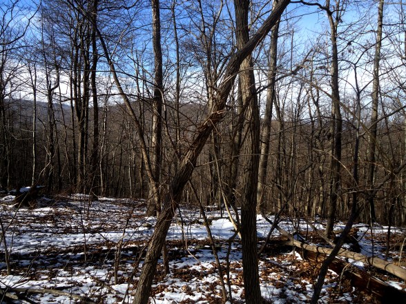
Kicking off another Spring Break hike with blue skies, frigid temperatures to start, and, this time, a hike more strenuous than any I have done in a while. I was excited to return to this section of the Appalachian Trail between US522 in Front Royal to VA55. I was also a little anxious. Would my legs hold up? I was fairly certain they would, but I double-checked that I was packing ibuprofen. 😀
I met my hiking partner “Somewhere” at the VA55 trailhead. Wow, it was cold! I thought I would ditch a layer before hiking, but backtracked on that decision quickly as the cold, cold wind reached my innermost layer. Brrrrr! We shuttled down to 522, then set out a brisk pace. I am thankful for the body’s ability to warm itself! It was freaking cold for the first 20 minutes, then we warmed up nicely as a result of 1) the sun rising above the ridge, and 2) climbing the first hill. It was welcomed warmth!
This stretch had two climbs that reminded me that I need to get out on the trail more consistently, but they were doable.
*Translation – I handled them with only slight discomfort.* 😀
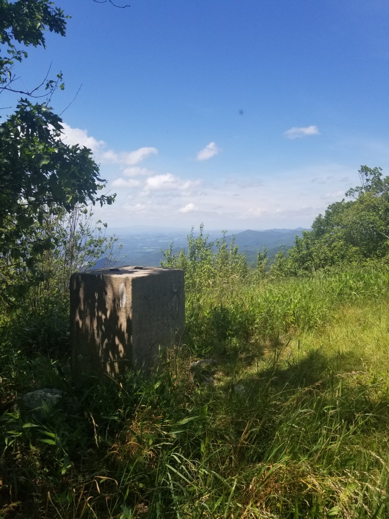
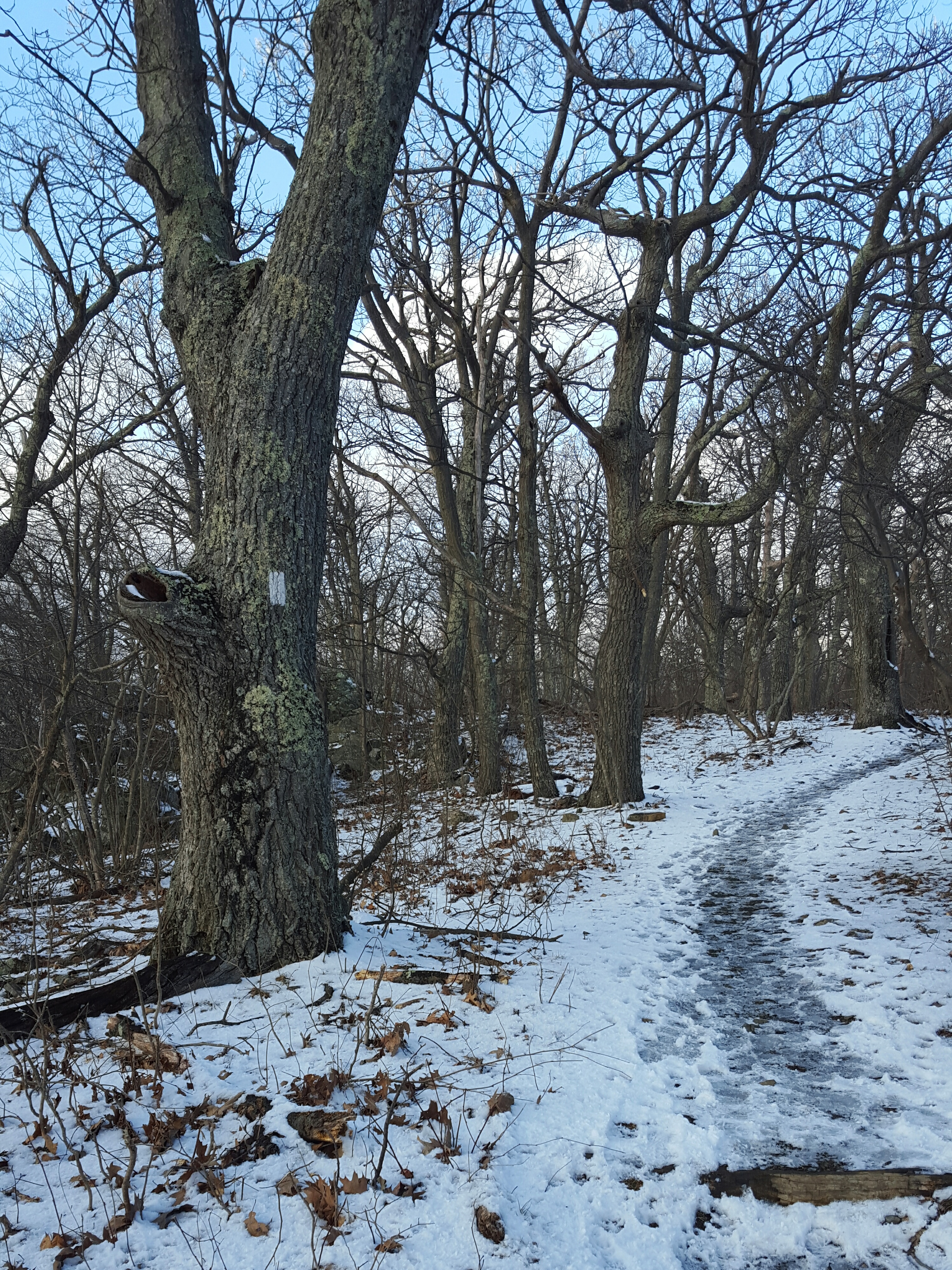
Thankfully, because I would have been appalled to literally fall over in exhaustion on this hike. Perhaps my ridiculous pride kept me upright? 😀 😀 Nah…It was a lovely hike. Bunches of Bloodroot pushing up through last season’s leaves greeted us on that first uphill. The lower canopy was greening and the trail itself was easy going for the first five or so miles. The only tricky part of this section is the hill just before reaching the train tracks near VA55. That hill is an eroded mess. That was the last hill for us and I was glad of it!
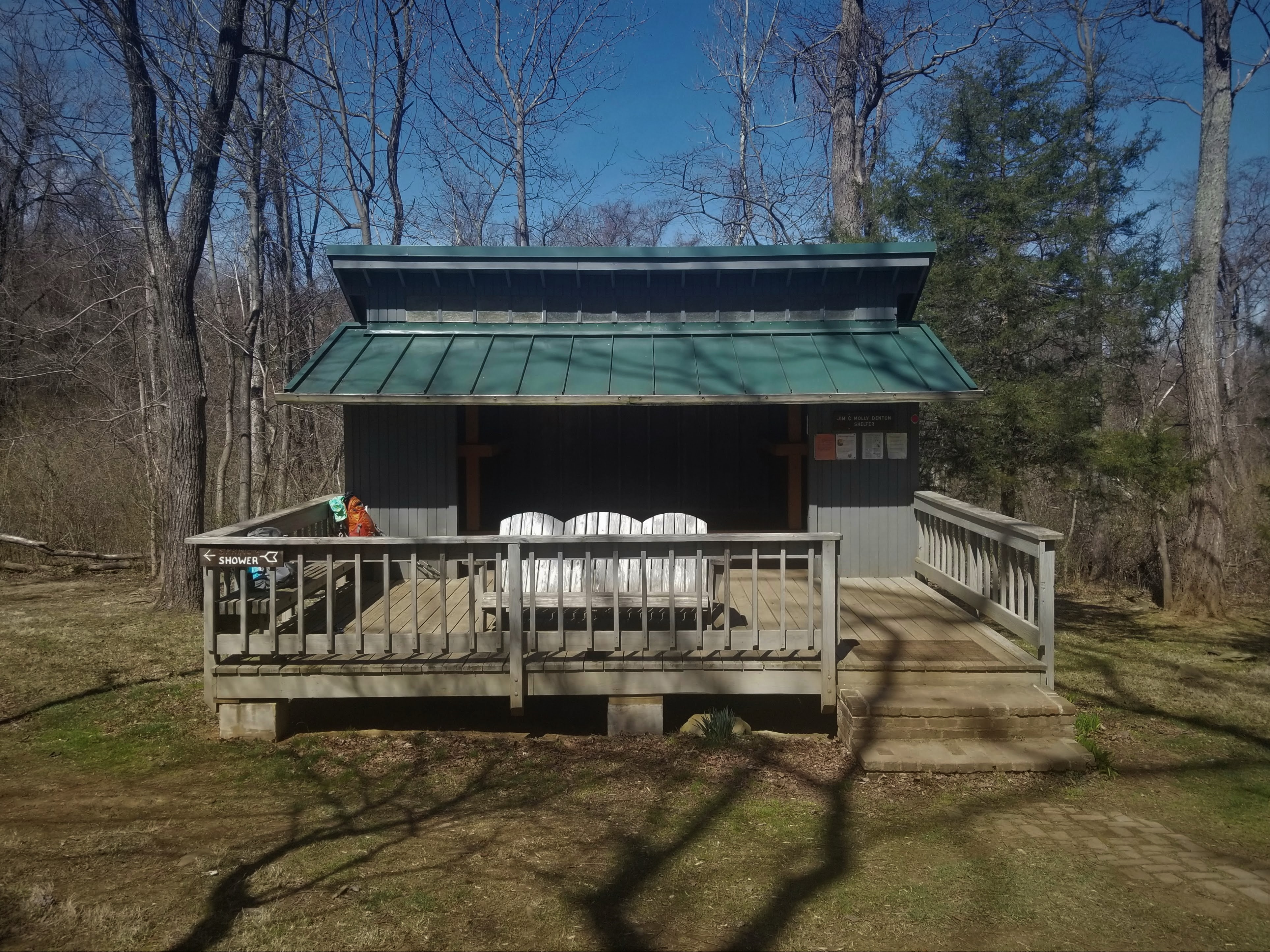
The day had added thrill when I met up with my first thru-hiker this season, “Backstroke”, a physicist who has just taken a job with the government. He caught up with us as we were headed to the Jim & Molly Denton shelter. We let him pass, but then walked a piece with him. We discussed teaching as we strolled along.
*insert…I know he probably slowed his roll a bit to walk with us, but even so, I was pleased to be able to keep up the pace and talk at the same time* 😀
He seemed intensely curious about teaching and is motivated to explore it as his career as a physicist unfolds. We had lunch with Backstroke at the shelter, then he was on his way! If you see him on the trail, be sure to say hi…he is super friendly and great conversationalist!
I look forward to the day when I chance to meet up with you along the AT! I will keep working these legs of mine…See you out there! 🙂 Hike on!
Well…this was a post COVID shutdown shock to my system! 😀
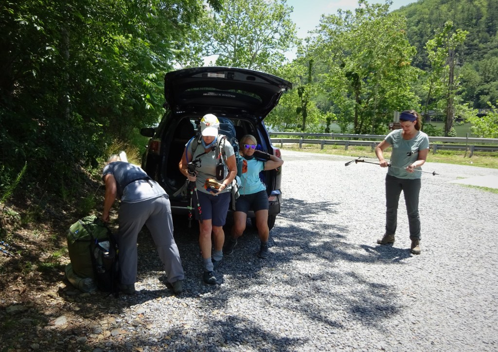
After driving down for a little over three hours from Frederick, MD, and another two hours placing cars, we hit the trail while the hot afternoon sun beat down on us. The parking lot at VA501 was easy to find and I was happy to exit the hot pavement and enter the just as hot, but at least shady, woods!
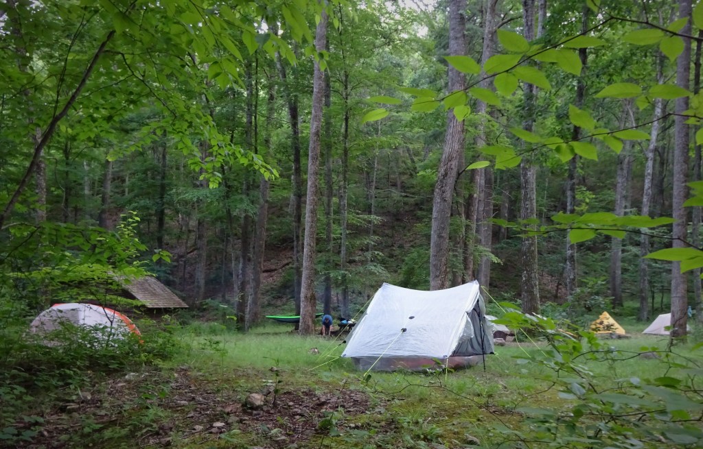
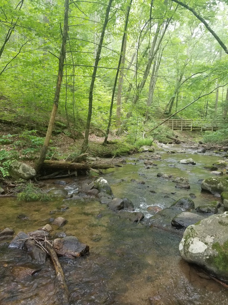
Day 1 we hiked in to the Johns Hollow Shelter. Blessed with a fine running stream, I took a good amount of time refreshing myself before cooking dinner. The shelter is in a delightful location with several almost level places to put a tent. Except, of course, for the place I put mine! But I was exhausted and fell asleep quickly.
View from my slanty tentsite
As usual, I awoke a few hours later after darkness had closed in on the forest. Since morning would not wait for certain things, I finally, after debating for at least 20 minutes, had to commit to getting out of my tent.
Okay, okay…I’m up, I’m out…oh, wow, it is really, really dark.
I made my way across to the privy and happened to look up. There was a perfect crescent moon shining down. It was framed by the upper most branches and leaves of several trees…perfectly timed…well done Mother Nature!
Once back in my tent, I could not fall back to sleep and tossed, turned, and created a ton of noise from my sleeping pad which has not become less noisy with wear FYI. Finally getting into a somewhat decent position I started to doze off. It must have been early…like 2 am…a yip, then a yowl, then a whole orchestrated sonata sung by a local coyote group. Beautiful!
The view from the creek
I know you will find this surprising, but I did not wake up refreshed and ready for a 9 mile day.
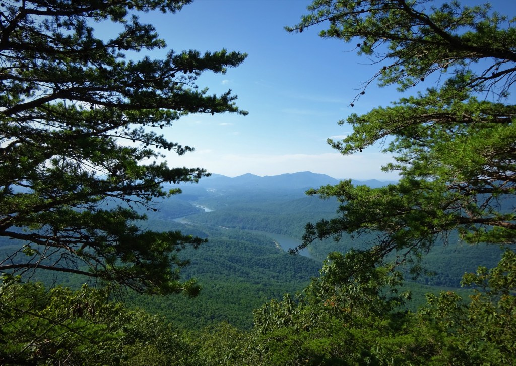
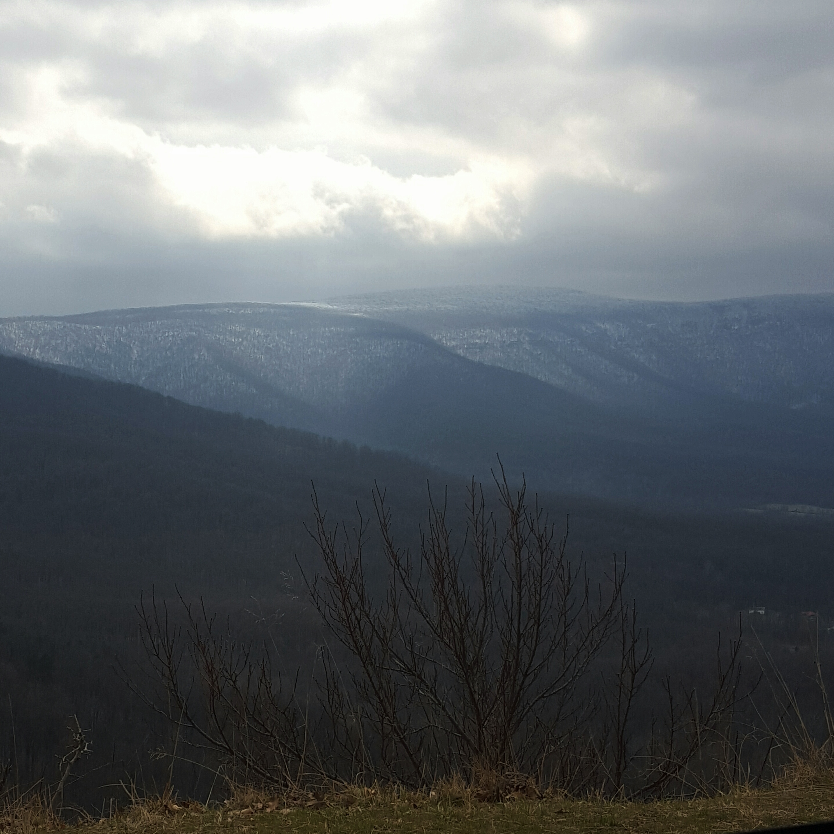
Day 2 was an up, up, up day. We climbed about 2000 feet up. It was our first climb and we got up while the sun was still low in the sky and breezes were frequent. With proper breaks here and there we made it to the top without any terrible memories burning in my memory. A beautiful view awaited us!
About halfway up the mountain there was a payoff!
We stopped at Salt Log Gap for a sit-down break. I got just two things to say…1. Someone said there was a spring. If that is true it is so far downhill that you’d be nuts to go looking for it. 2. Careful of the stinging nettles, but if you do get swiped try hand sanitizer on it. That worked wonders on the areas where I was attacked!
The second mountain of the day…ugh. Bluff Mountain is no bluff! The trail went up the sunny side of the mountain and it was a hot afternoon sun. Several thousand breaks later we rounded a corner to find the memorial for Ottie Cline Powell, an almost 5-year old boy who wandered away from his school in November 1890, got lost, then died on Bluff Mountain. His remains were found by a hunter in April 1891. This choked me up and I cannot get this kid out of my head even now. Poor, poor baby. 😦
Summit of Bluff Mountain
I was so glad to get to the Punchbowl Shelter. Such a pretty sight with a pond filled with chatty bullfrogs. 🙂 I went about setting up my tent, minding my own business, when the black flies descended. Oh my gawd, this was awful. Like on level with chiggers awful. I got so many bites. 😦 Bug spray didn’t phase those little suckers one bit. I capped off Day 2 with three ibuprofen and a benadryl.
I am loving my new tent…Big Agnus Tiger Wall UL2. The pond is in the background.
We TRIED to get out earlier on day 3 so we were done hiking earlier due to the heat. A group of five…we did try! And maybe we were out a little earlier??? Anyway, the day’s elevation looked decent and I was optimistically promoting a day that would allow our fired up muscles a day to recover somewhat. Hahahaaaaa 😀
Love this! A boost in the middle of hot exhausting day
The elevation wasn’t bad in comparison, but it still managed to get at me. The heat and humidity was suffocating and I could smell rain. Picking up speed around the Lynchburg Reservoir, yessss! This was good, this was easy!
Rounded a corner…Oh for Christ’s sake. What horse of the Apocalypse are we on now?
A monumental disaster of epic proportions lay before us. A tangle of huge blowdowns over a ravine. Every woman for herself! I decided to crawl under and through it dragging my pack behind me. It worked!
Feeling superior, I temporarily forgot that this was a miserable hike and plodded on down the trail happily the victor. 😀 There was even an congratulatory creek with rushing cool water about a mile after. Huzzah!
The day got long again and my feet were screaming with every step once we reached the bridge across Brown Mountain Creek near the shelter. I wasn’t the only one having physical turmoil and we were glad to be done for the day.
Brown Mountain Creek
The Brown Mountain Creek area is fabulously wild and gorgeous. In the early 1900s, a community of African American sharecroppers lived here. I looked and found evidence of homes long since abandoned. I am surprised and disappointed that there is no roadside history sign about this community at VA60. I went Googling for information once I got home and found “Brown Mountain Creek – Before the AT”.
I settled in for the night, best sleep on the whole trip under a big old oak tree. I had some quite disturbing lucid dreams about little Ottie. I woke up suddenly during one of those dreams to a lightning bug blinking his light as he passed my tent…a good sign. I got up and looked out ….ohhhhhhh…*sharp inhale*…the lightning bugs! I was mesmerized, and after the dreams I had, a little emotional.
The last day was a short hike out to VA60. Sitting in my tent, early in the morning, while the lightning bugs were still blinking, I wrote:
“I am humbled by these mountains. Blisters on my heels burn with every step. Black fly bites have formed hard spherical mounds that itch like the dickens. Stinging nettles brushed my legs with a touch that was anything but gentle. My COVID shutdown body is tired and demoralized. Another day my mountains.”
Now healing, beer in hand, and looking forward to another day…Hike on!
The hiking weekend to kick off my spring break…ha! The house we rented in Staunton, Virginia is lovely and made a great place to plan out alternative hikes…or as I like to think of them, plan B, C, D…
After the hike at Trimble Mountain, we knew that the chances of Shenandoah National Park being open in the morning were pretty close to ZERO. Throw the maps out on the table and discuss a few possibilities. None of them were as appealing as hiking the AT, which was Plan A. We had already used up Plan B at Trimble Mountain, so we went with Plan C, an out and back on the AT starting at Rockfish Gap. We would hike to McCormick Gap and back…about 7.5 miles. In the deep snow that would be enough!
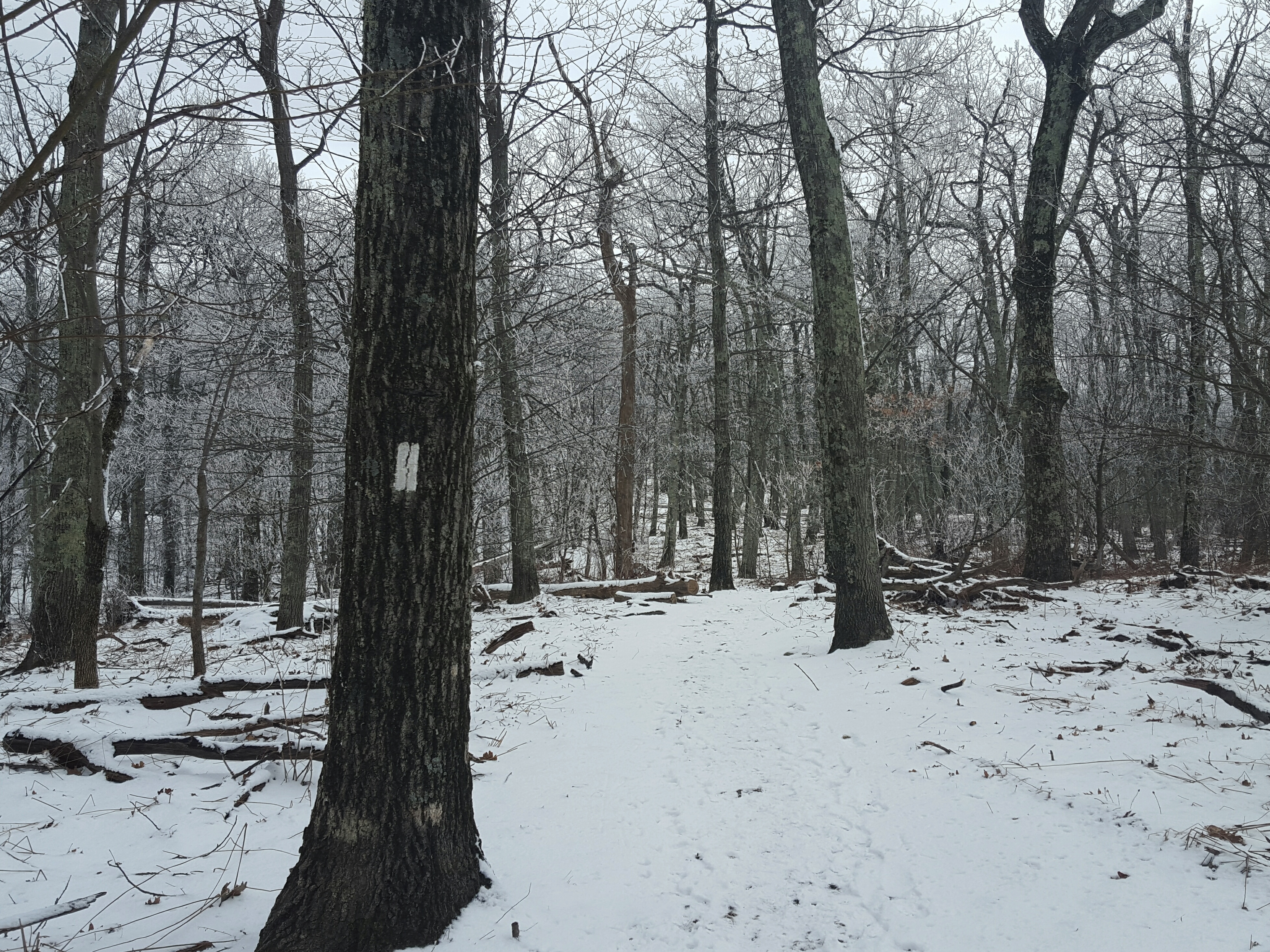
Yes, a plan! We parked at the old HoJo’s at Rockfish Gap and made our way over to the south entrance and cut-off to the AT where we donned our microspikes and headed up into the woods. Another gorgeous day!
We were lucky several had passed this way before us packing down the snow a bit on the trail. It was still icy, so microspikes had been a good call! We trudged uphill, taking occasional breaks to catch our breath, let the heart rates return to normal, and to generally take in the quiet, snow-laden forest that surrounded us. Until the crow saw us…he chattered non-stop, either saying hello or get the heck out of my territory… not sure which, but he was quite animated!
Then I heard it. The hum, the slap of melted snow runoff on moving tires, Skyline Drive must have been opened. At first one car, then silence. As we neared McCormick Gap, the number of cars on the drive had picked up considerably…the word was out!
We stopped for a break at McCormick Gap and made a decision to continue to Beagle Gap and hitch a ride back to Rockfish for the car. The Hiking Weekend Adventure was in full throttle!
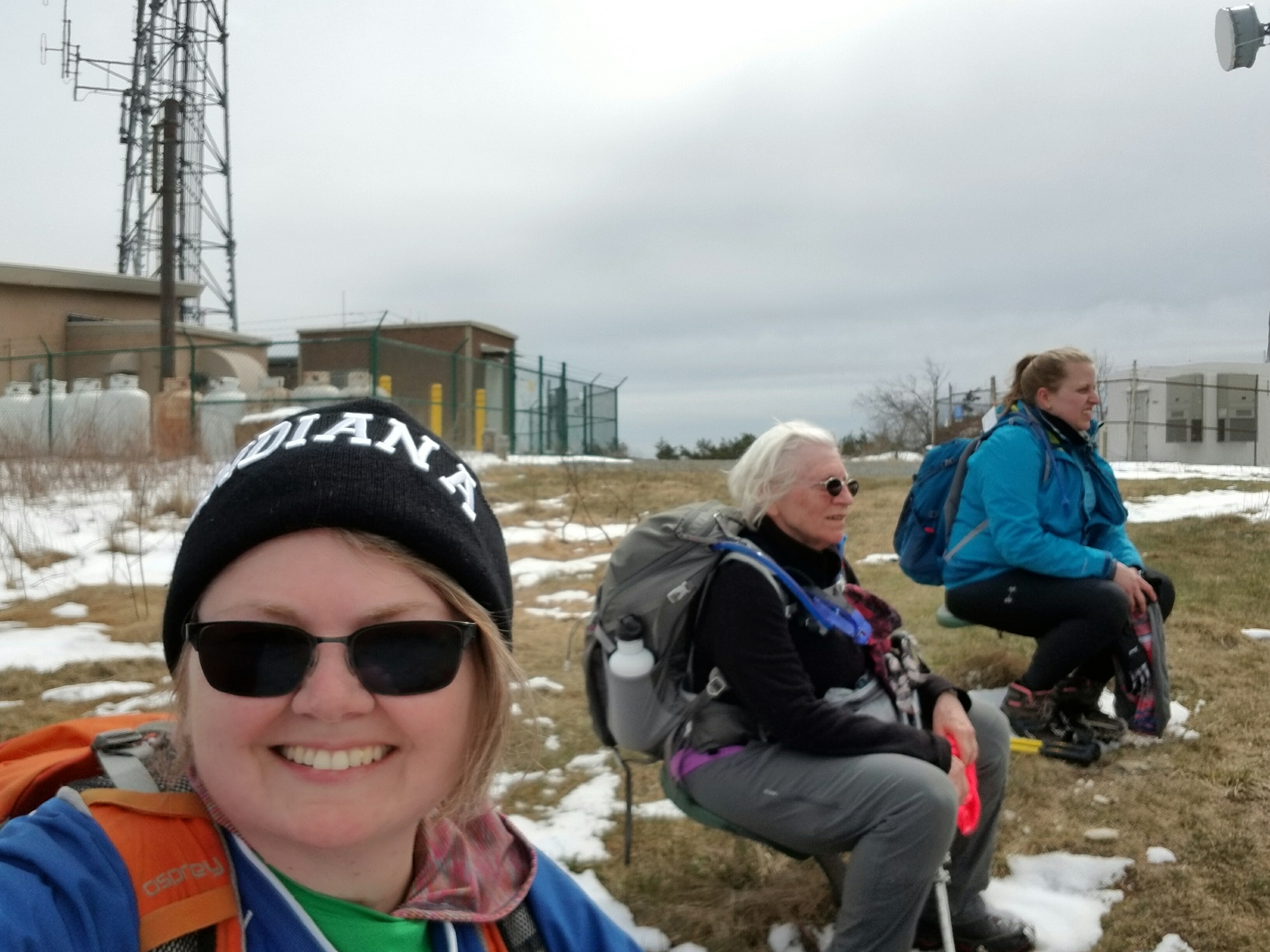
I was excited! Reaching the top of the mountain there are several communication towers and oddly enough, tractor seats. I had seen them many times in pictures and looked forward to breaking there and having a sit-down before descending to Beagle Gap. It was everything I expected and we all took a nice rest in those tractor chairs!
The sun was trying to make its way out of the clouds. Lola pointed out that a rainbow had formed around it. I looked up, and up, and back, and up, and then…oh gawd…I was falling out of the chair! All I could think was, not today, please, not today, the ground is wet, the ground is muddy…no, no, no, this would NOT happen to me today! I struggled to keep myself in the chair by one-arming myself off the ground, believe me, not a particularly ballerina moment in my life! 😀 But ladies and gents, it worked!
I arrived at Beagle Gap, high and dry…AAROOOOO! Hike On!
Shenandoah National Park seemed a reasonable choice for leading a Trail Dames backpack. Fool’s Weekend was so apropo for this event! We had some new backpackers along and this route tested the limits of some. However, WHAT FUN!!!! Who better to test limits with but Trail Dames!
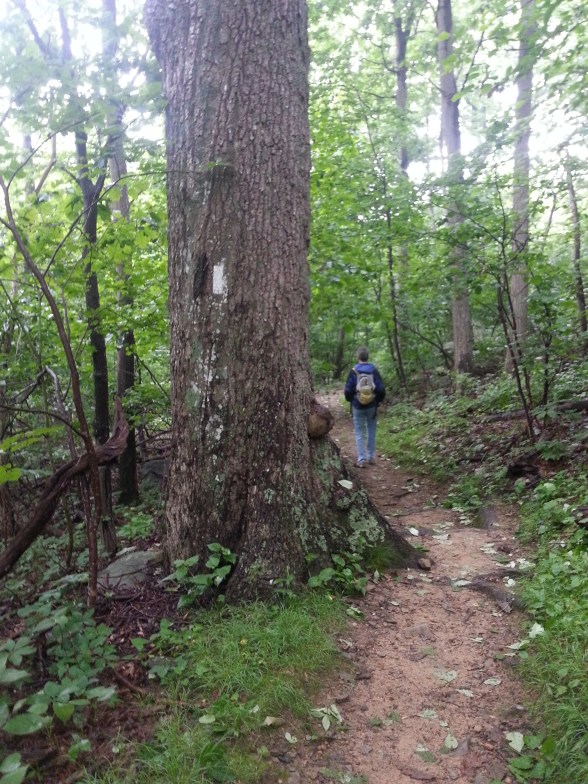
On our way! White blaze of the Appalachian Trail.
Clouds moved in and out all day. One moment we would be basking in the warmth of the sun and the next pulling on an extra layer to guard against the gray sky and stiff chilly breeze. We hiked about six miles on day 1, and that was quite enough for some of our group.
BoobOnARock skipping down the mountain 🙂
We all set up our tents around Bearfence Hut, then gathered around the firepit to eat dinner. AND OF COURSE, there was a fire! Kathleen & Overkill did a fantastic job getting a fire started with wet wood. Nice! Smoky at first, but worth it. 🙂
Trail Dames leaving Bearfence Hut – Morning of Day 2
As I sat in my tent, snuggled into my bag for the night, I realized I was exhausted. Leading a day hike is one thing, but taking responsibility for a group of women on a backpack, is leveling up in a huge way. Did I pass? I think so. Could I have been more supportive? Probably.
A welcome break at Hazeltop summit
So I sat there and thought about things that had happened during the day and found myself writing a silly little poem…which I will now share here…remember I am a math instructor not a poet. 🙂 🙂 🙂
Cruising along Skyline Drive it occurred to me that maybe this hike wasn’t going to be the hike I had conjured up in my mind yesterday. At that time, I sat on the edge of my bed, maps spread out around me and Sidekick Pauli sprawled beside me catching rays from the afternoon sun.
Now I found myself facing mountains that still showed vestiges of winter. I pulled over no less than three times along the drive just to look, gaze in wonderment, lost in the beauty of Shenandoah. I decided we would hike where the snow still lingered.
I want to go there! Right there, on top of that snowy mountain!
I had been headed to Elkwallow Wayside, but stopped short when I got to Overall Run Falls trail head. Yes! We ARE STOPPING RIGHT HERE!!! The trees were all sporting a fresh layer of rime and the trail was perfect with about an inch and a half of dry snow. Oh, it was gorgeous! Like *gasp* gorgeous!
Not the best pic…but the only good pic of the rime on the trees!
I took a look at the map and started down the AT to Elkwallow, I would decide whether to backtrack or loop once I got there. Sidekick Pauli was hiking with me today and is still sporting a pretty good scar down her neck…so it just depended on how she was doing when we got to Elkwallow.
Oh boy! Into the woods!
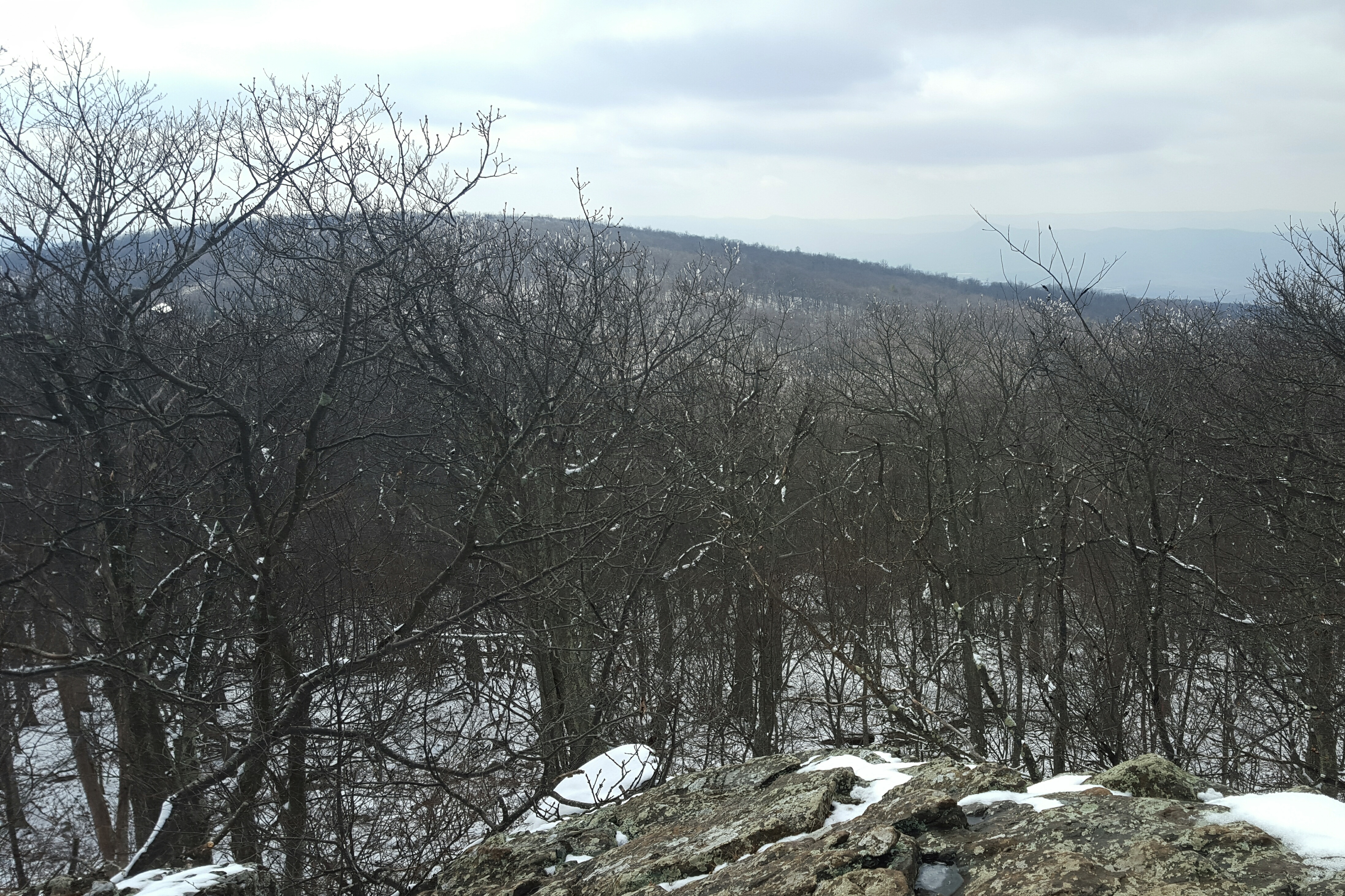
The AT to Elkwallow Wayside is a fairly moderate hike with a view that was nice! Sidekick Pauli scrambled up the rocks and stared into the distance with satisfaction. Oh, she was definitely happy to be back on the trail! This was our only overlook, although, there were nice forest views along the way. We passed over Skyline Drive on the AT, then headed slightly up before passing the PATC Range View cabin and descending to Elkwallow Wayside.
At Elkwallow, we took a detour down to the picnic area…for a pit stop. While I was, um, otherwise engaged a family had driven up to also use the bathroom. Apparently, this was the only bathroom open in the area. When Sidekick Pauli and I exited the bathroom they just lost it. They were gabbing away in a language not understood by me. They were simply in fits!! I didn’t get it, what the heck, haven’t they seen something like this before??? I heard their laughter and felt their pointing until we disappeared into the woods. Haha! Glad I could add something to their Shenandoah memory!! 😀
Sidekick Pauli was loving it! I decided to loop down to Matthews Arm campground, then climb back up to the AT via the Traces & Tuscarora Overall Run Trails. The weather had warmed a bit and there was no snow on the Elkwallow Trail down to the campground. A nice picnic on a damp log awaited us! Sidekick Pauli gobbled down several of Queen V’s home made doggie treats!! I made do with a PB&J. 🙂
I didn’t make it … but I didn’t destroy it either. I enjoyed the oddity of it as I made my way down the Elkwallow Trail.
The birds were rocking out while we sat there in the middle of the otherwise quiet woods. Lovely to listen to but my butt was getting wet…time to move!
YAY! we don’t have to rock hop across the creek. 🙂 I think Sidekick Pauli is disappointed…
Soon after crossing the bridge we reached Matthews Arm campground. We found the Traces Trail after crossing the parking lot. This trail starts to climb, and the climb goes on, and on. Maybe it was because I left this piece of trail for last…but man, oh man, that climb! Between 800 and 1000 feet! To say I was happy to reach the snow line would be an understatement! Whew!!
Ahhh, yes! Finally! Jees…why did that hill feel so long? Oh, 800 feet of slippy, slippy…got it!
I reached the car and began getting ready for the drive home. Took off the layers, traded out the hiking boots for sandals, did a few not helpful stretches, grabbed the cheezits…
While storing my bag, boots, and clothes in the back of the car, a ranger pulled up. “Hey, just wanted to let you know there is some weather coming in overnight so we are going to be closing Skyline Drive.”
I will remember this day as hiking through the sky with Dames, then descending into the valley with Angels.
Hiking into the Fog
Approaching Possum’s Rest
Before all of this, however, was donuts. Tenacious D was driving and I had hitched a ride to the trail head since my car is no longer to be trusted on long trips. I felt very grateful to have a ride down to Virginia for this section hike and stopped at Dunkin Donuts on my way to meet Tenacious D for coffee and donuts as a token of appreciation for the ride.
Wow, it was raining. and cold. and windy. Glad I put gloves and hat in the back pack before I left!
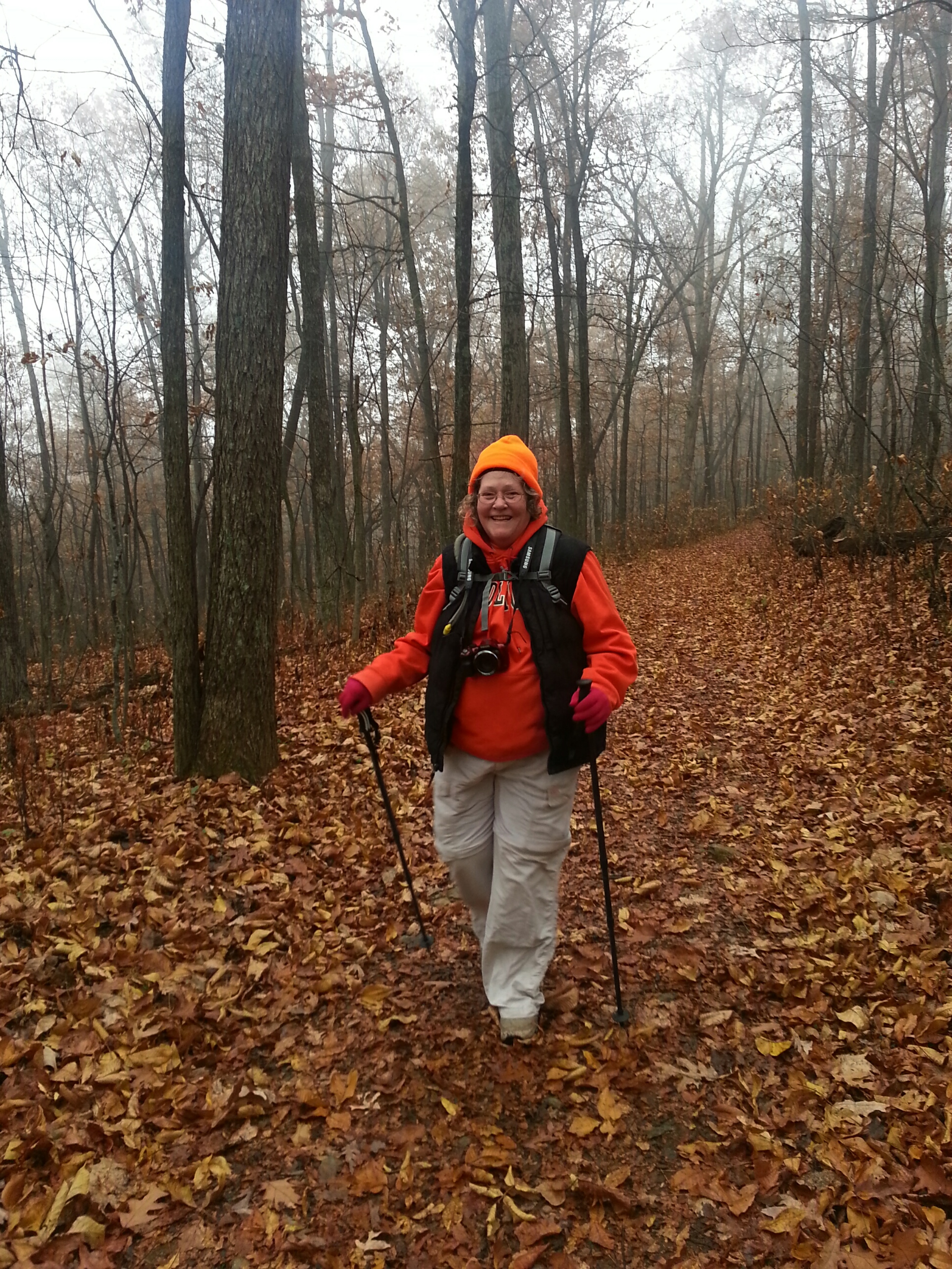
We were the last to arrive at the trail head…Tenacious D says being a bus driver for so many years makes her just drive slow all the time! I didn’t mind, we weren’t more than 3 – 4 minutes late, and the drive had been lovely. We pulled over and rolled down the window as Dirigo (the hike leader today) approached. She asked “Can you all help shuttle?” “Sure!” Another Dame jumped in and away we went up into Shenandoah National Park.
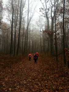
We met up with everyone at Compton Gap trail head, about 10 miles into the park. Donning our layers, rain jackets, hats, gloves, and grabbing our hiking poles we set off into the foggy woods. Pretty easy walking, although it began to rain making me wish I hadn’t left my big red poncho back in my car before riding down with Tenacious D. Oh well, my rain jacket, plus layers did a fine job anyway!
Tenacious D enjoying the trail!
The forest was magical with the heavy fog. Lines between heaven and earth were smudged giving everything a soft ethereal glow. It felt like we were part of the sky. Then my eye would catch a tree with its brilliantly colored leaves in the forest reminding me that the sky had descended on the mountain, we had not risen to the sky.
We reached Possum’s Rest, which on a clear day has a beautiful view, without much trouble. Today, all one could see was the fog. Coming down from Possum’s Rest was a little tricky! We were climbing down from the ridge and it was a sharp decline, even with the switchbacks, littered with wet leaves and rocks. It was slow going…but no one fell, no one slipped!
Possum’s Rest
Coming Down off the Ridge
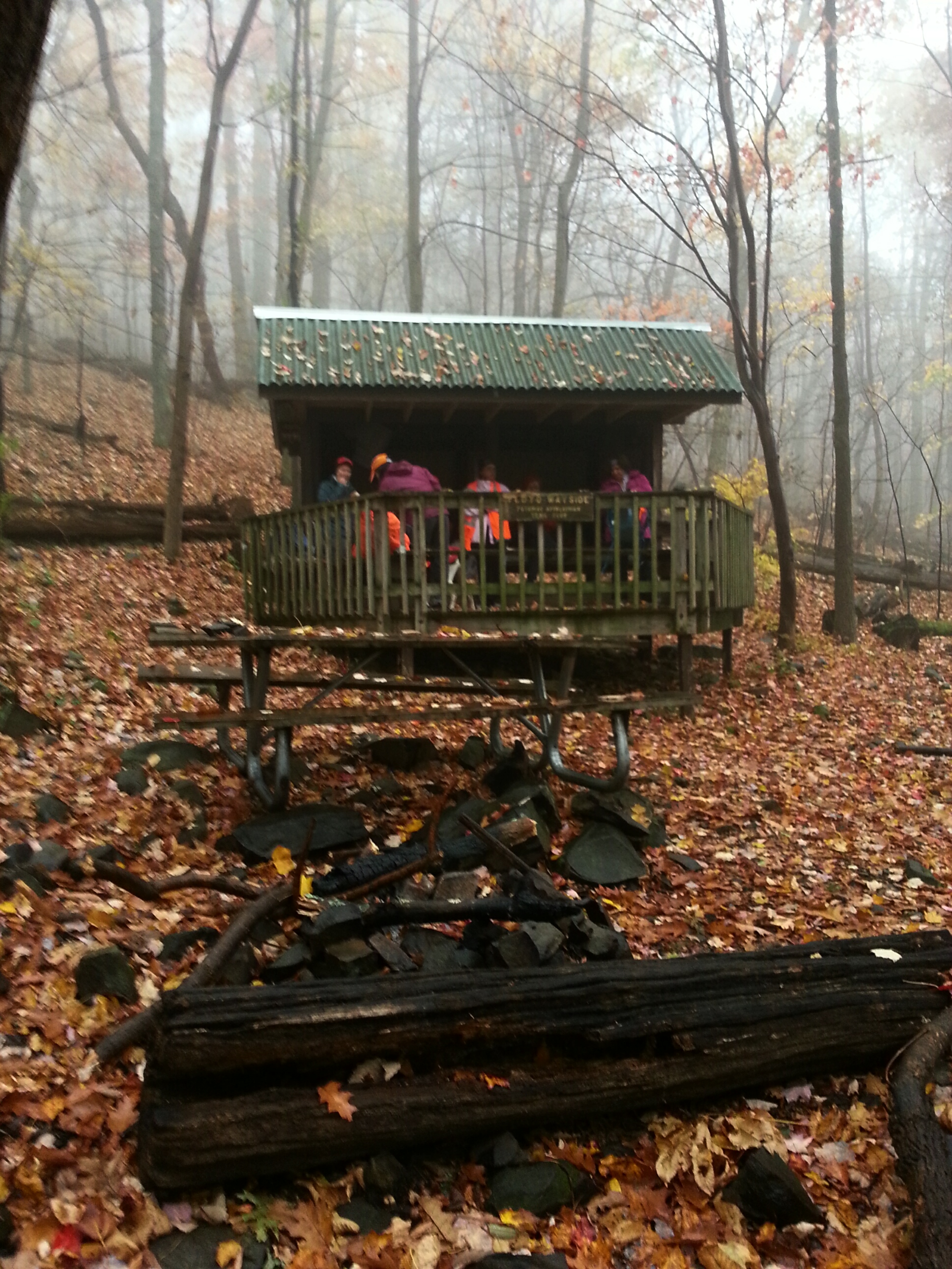
Just before reaching the Tom Floyd Wayside, we heard barking. Lake Front Royal is a neighborhood which backs up to the AT, so the dog was probably over there. Happy to get out of the rain we sat down for lunch at the shelter. A PB&J and half a bag of cheezits later I was feeling quite content. I stretched out my legs and sat there looking out into the mist.
Tom Floyd Wayside
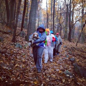
There is was…that barking again…louder this time. We discussed where the dog could be, then brushed it aside as we packed up and left the shelter. Headed downhill, then all of the sudden there it was, a small older beagle, lost, cold, wet, shivering, and very scared. She came right up to me. It was clear she needed help. At first we got her to follow us, but soon realized she needed to be carried as her paws were rubbed raw. I carried her for awhile,
Beagle Brigade (courtesy of Terri McLellan)
Dog finds Trail Magic!
then Python cleared out her backpack and together we fit her inside. She loved that! So cozy! And that is how Python packed her out. As we continued towards Rt. 522 we passed directly by a few houses in Lake Front Royal. Python asked a guy out on his deck if he knew anyone who had lost a beagle. He didn’t but turned to get his wife. Turns out the wife works in a vet clinic and offered to take the dog so they could follow up on the license number and scan for a microchip.
Autumn in SNP
Looking towards Front Royal
So you see, the Dames had become Angels arriving at just the right time and place for this lucky little pup. I am ever so happy she spent the night inside, safe and warm.
Last weekend was the FIRST weekend of “ahhhhhhh” that I have had since we started getting the house ready to sell. Well, the house is now on the market! It went on the market on June 17, our anniversary…it wasn’t planned that way, but is so symbolic as remodeling the house just about killed our […]
On this gloriously soon to be warm morning, I met up with backpacking buddy and fellow dame, Boomerang to carpool to our meeting spot on Route 7 in Bluemont, Virginia. We hadn’t seen each other since the fall AT backpack across Maryland, so it was nice to catch up! I was getting some new AT […]
What a delightful day with the Maryland Trail Dames! This day was December 21, the winter solstice, and it was WARM! Yes, a balmy 65 degrees! We met at the lot on Rt. 7 in Snickers Gap, then Dirigo shuttled us back to the Blackburn AT Center to begin our hike. The first uphill from […]