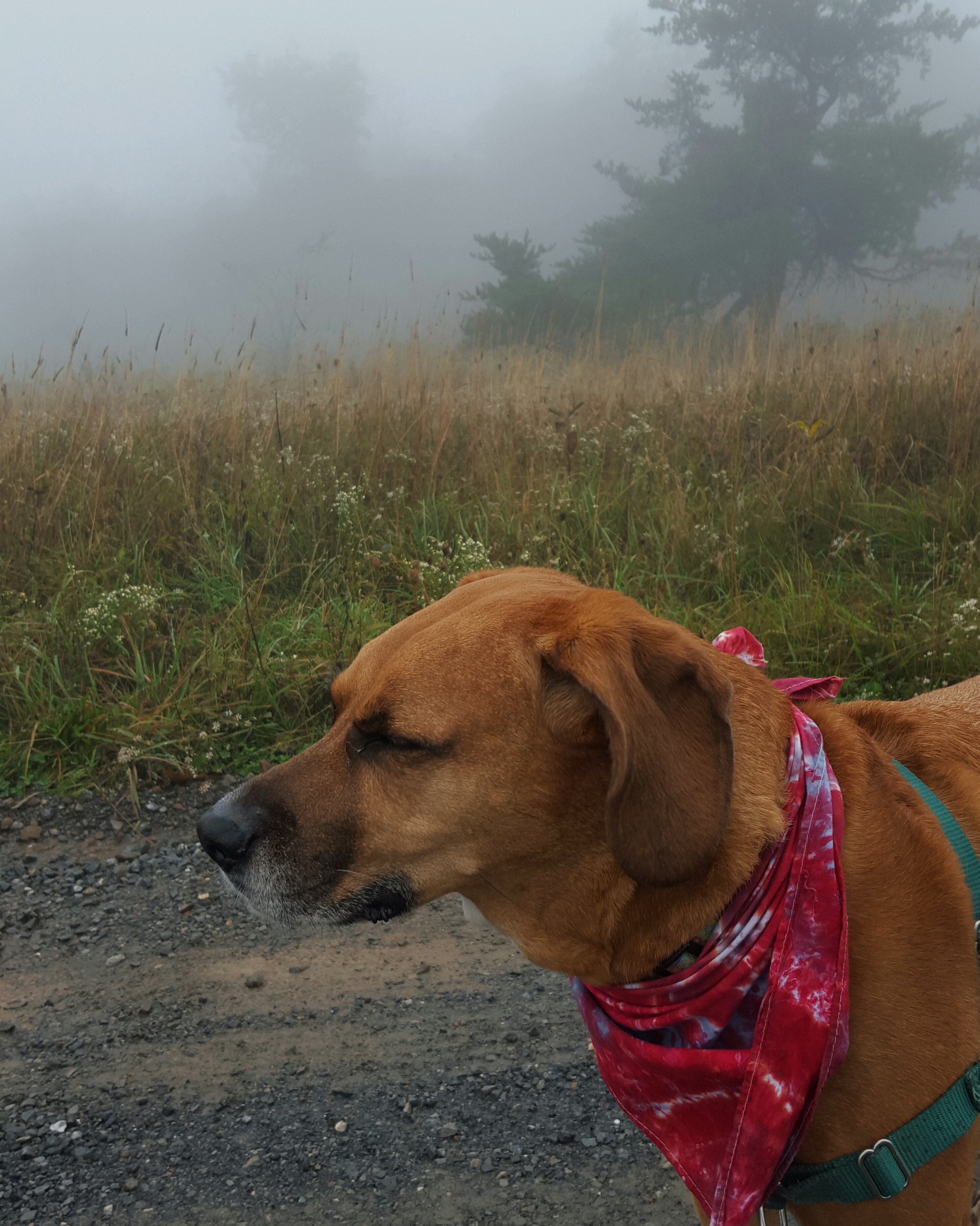
We could write a book, Queen V and me. Hers would have a “Little House on the Prairie” spin, while mine would be more of the “Nancy Drew” formula variety…but still.
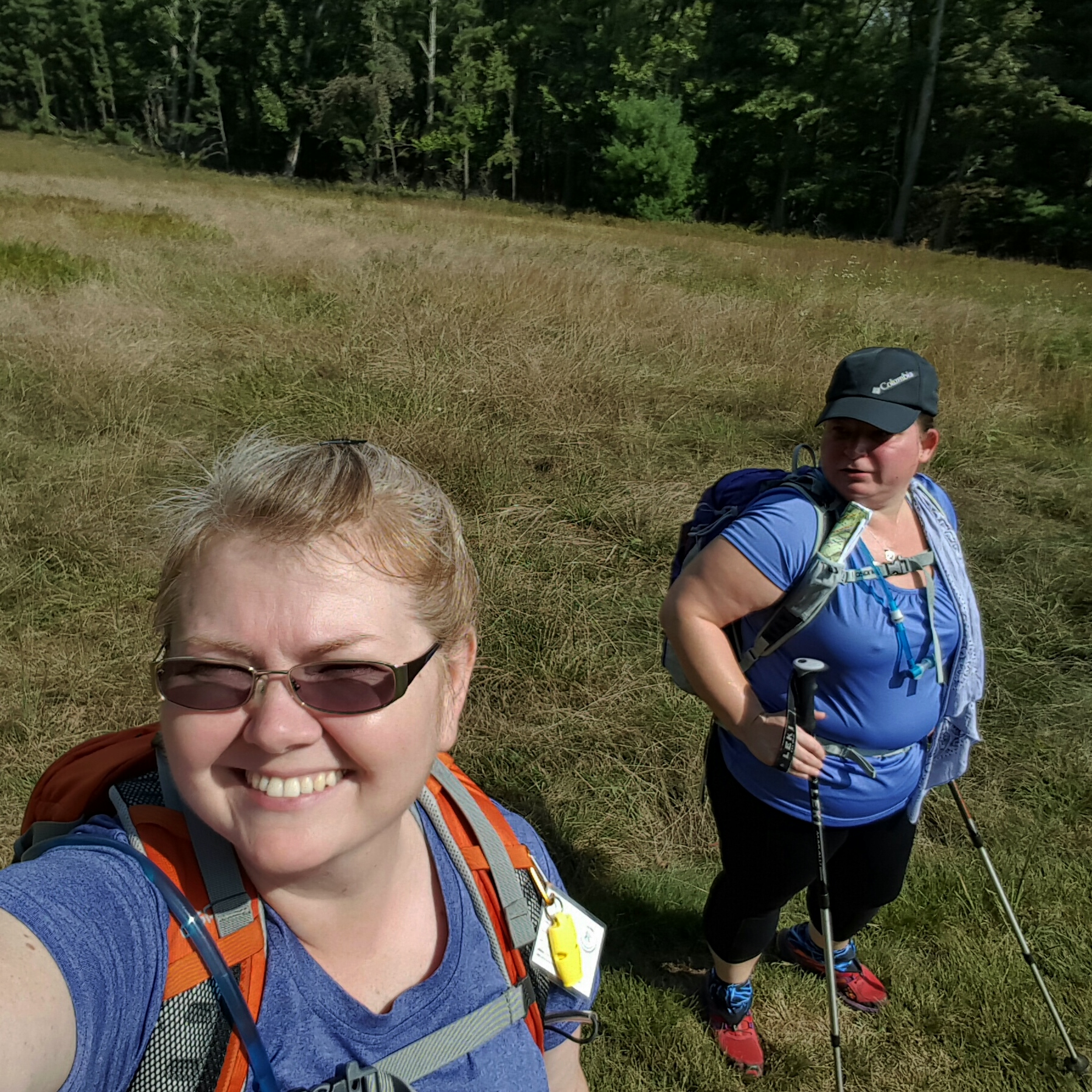
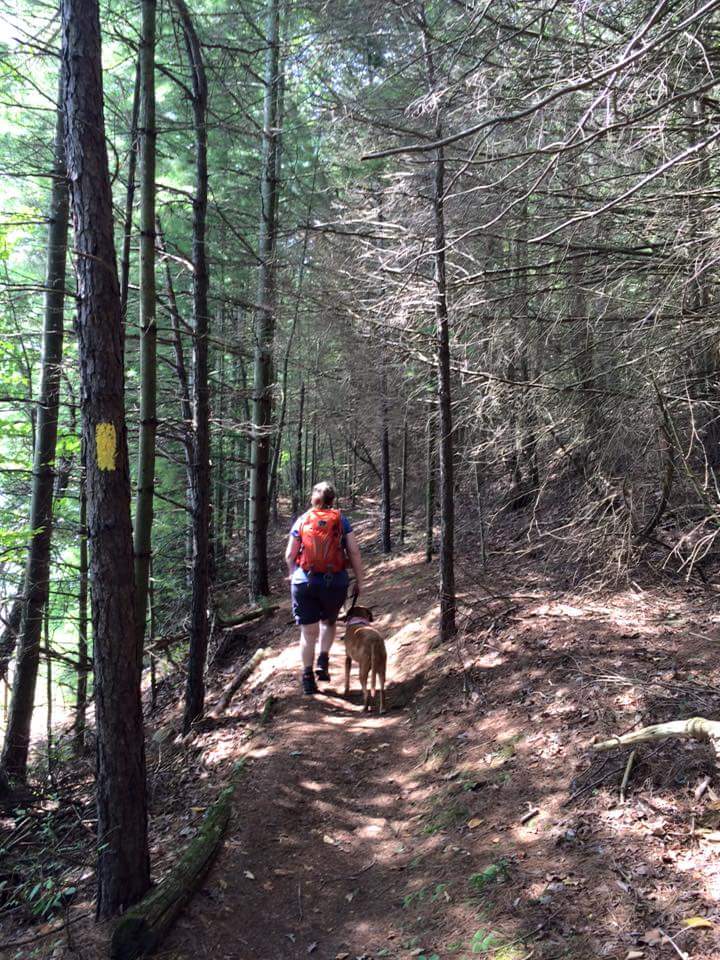
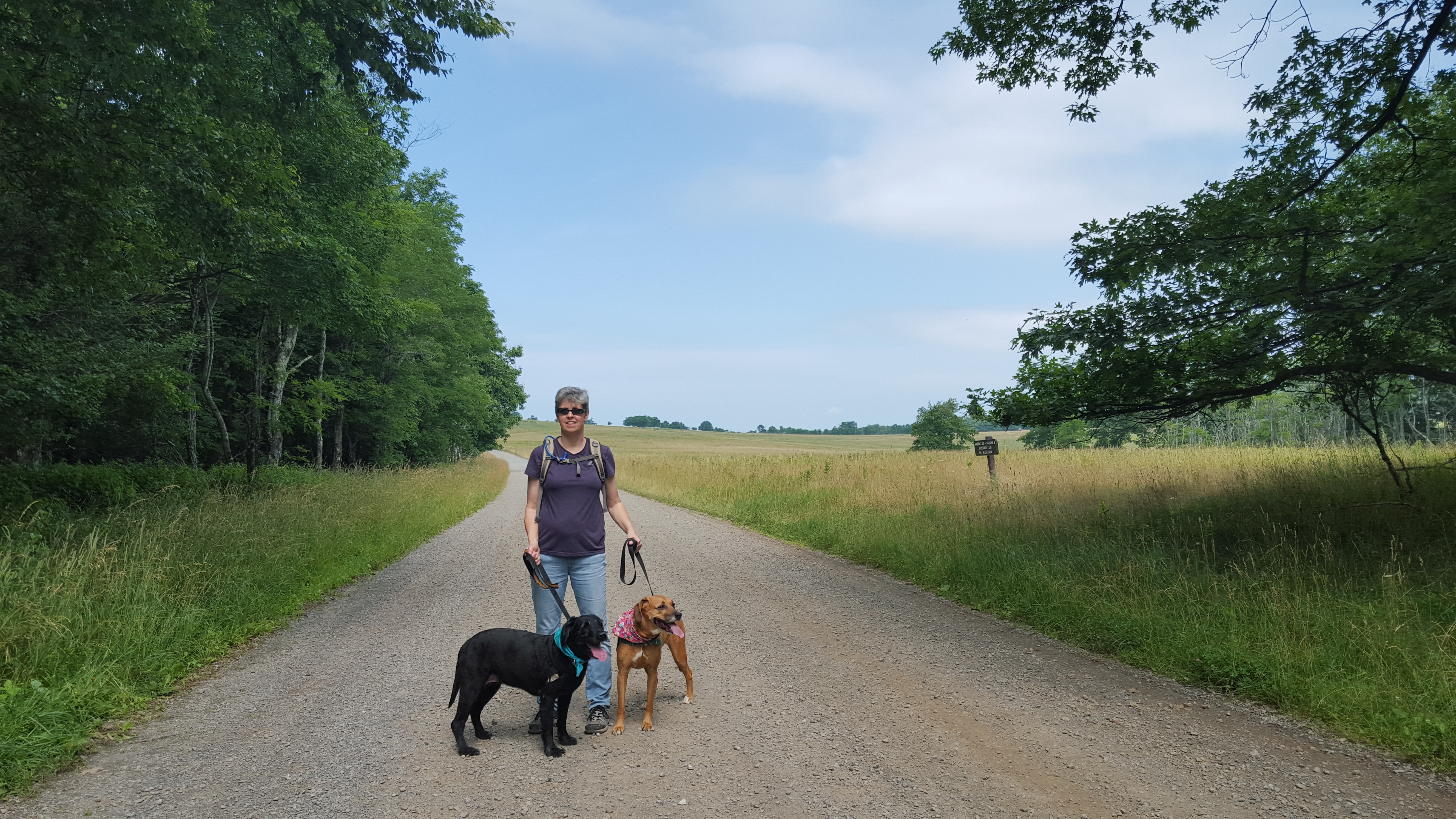
Yesterday’s adventure started as a pre-scheduled Trail Dame hike up to Boliver Heights in which everyone had canceled except Queen V. We took that opportunity to go rogue. So after a gentle climb up and down Bolivar Heights, we went looking for the abandoned camp on Schoolhouse Ridge.
We entered an area that we assume “unofficial” cars are not allowed…but there is no gate or fence keeping out curious pedestrians…hike on!
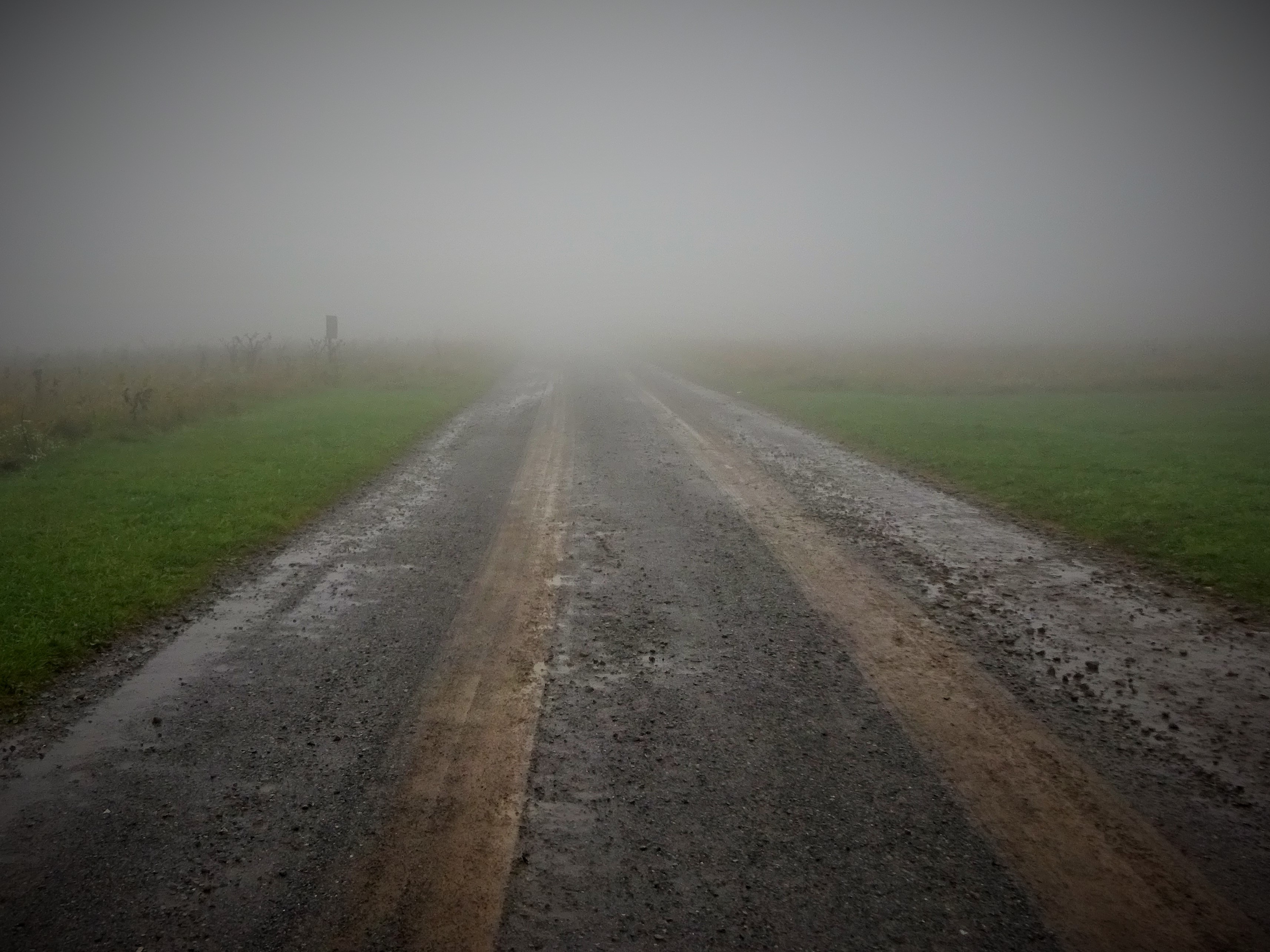
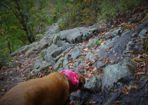
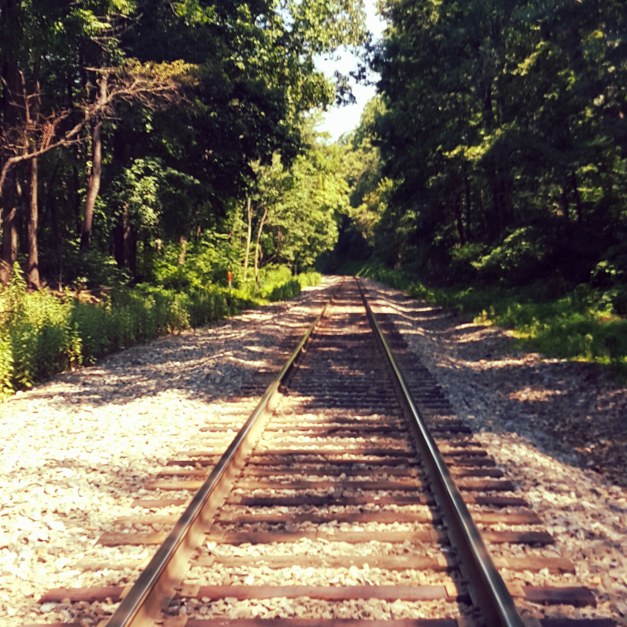
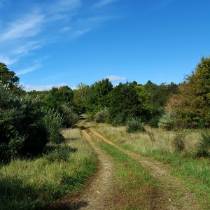
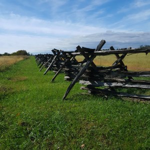
The dew laden grasses in the battlefield had soaked our shoes, so I was pleased to be hiking up a gravel road. The air was crisp, the sky was blue, and a few leaves were showing off bright yellows and reds of autumn.
I was looking forward to revisiting the abandoned camp which Little Caesar and I had stumbled upon last year. There is nothing quite so exciting as to inadvertently hike into something unexpected and forgotten. It seems to open a box of memories locked in place and time. Not my personal memories, but a collective of memories created by what I have read or seen of the time period.
We reached a fork in the road, which way? I don’t remember so we go to the right at first, then finding nothing, turned back and took the left fork. Ah, there it is!


Queen V states “Better to ask for forgiveness, than ask for permission.” as we pass the first long, low building. There are some official park vehicles behind a chain link fence. I give little attention at first, then look again. Oh, it was a swimming pool! Queen V steps forward pointing out how it has been filled in and oh, look there is the baby pool!
Turning our backs on the pool area we head to the other end of the building. Here we find another shack with signage!
-

- Recreation Check Out – Miniature Golf Hut
-

- Oh…a Jellystone Campground! thx Queen V for the pic!
We are now both on our phones “googling” for information on this park. I find nothing because I have T-Metro (T-Mobile). Queen V is victorious, somewhat, in her search. This was an early Jellystone Campground! We continue to poke our heads into each building, searching for clues to the past.
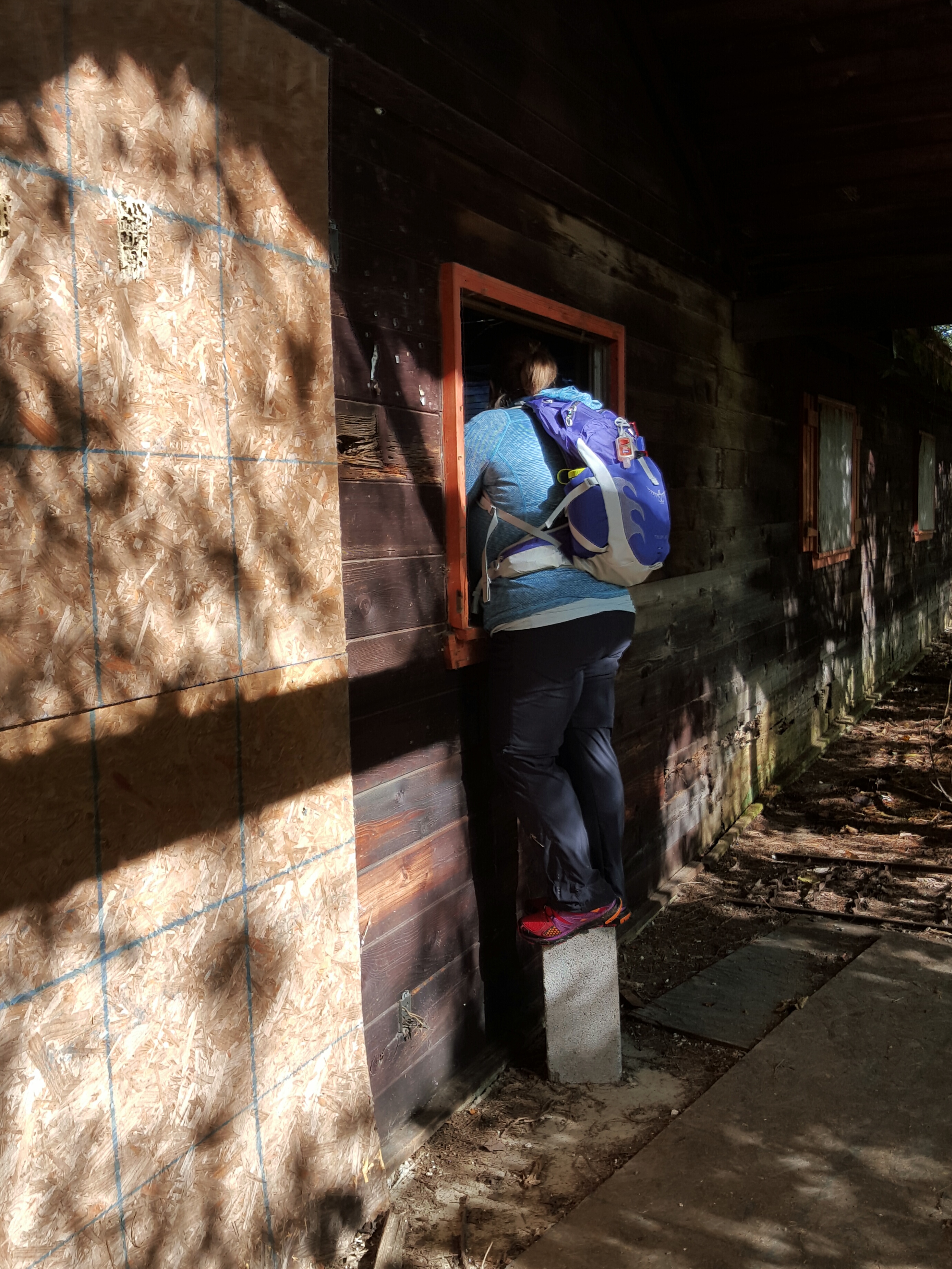
Just an average girl climbing up on a cement block to take a peek. Go Queen V!
Scramble under the bushes, poke, poke, ….Oh My STARS!!! Hey Boo Boo, How about a pic-a-nic basket?!!! THIS IS THE BEST FIND EVVVEEEEERRRR!!!
-

- OMG………
-

- YOGI!!!!!!!!!!!!!!!!!!!!!!!!!!!!!!
Can you believe it? The best! We are both just giddy at this point and our curiosity is at full throttle. What else was here? What else are you finding on Google?
“Caverns…there were caverns!” reports Queen V. “Caverns?” I ask, just to be sure I heard her correctly. Oh yes, now the hunt for the missing caverns began.
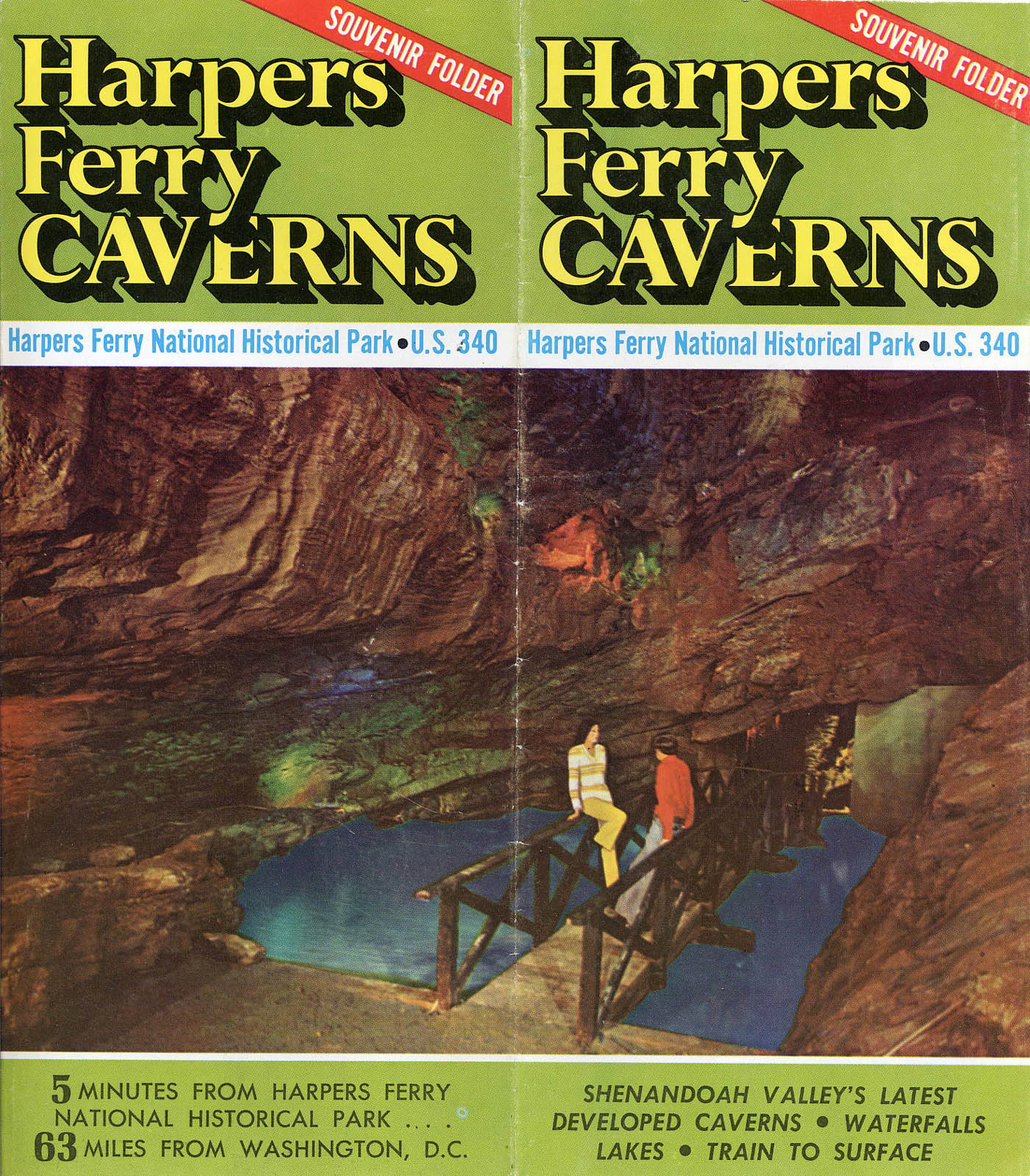
I found this online…there are caverns!
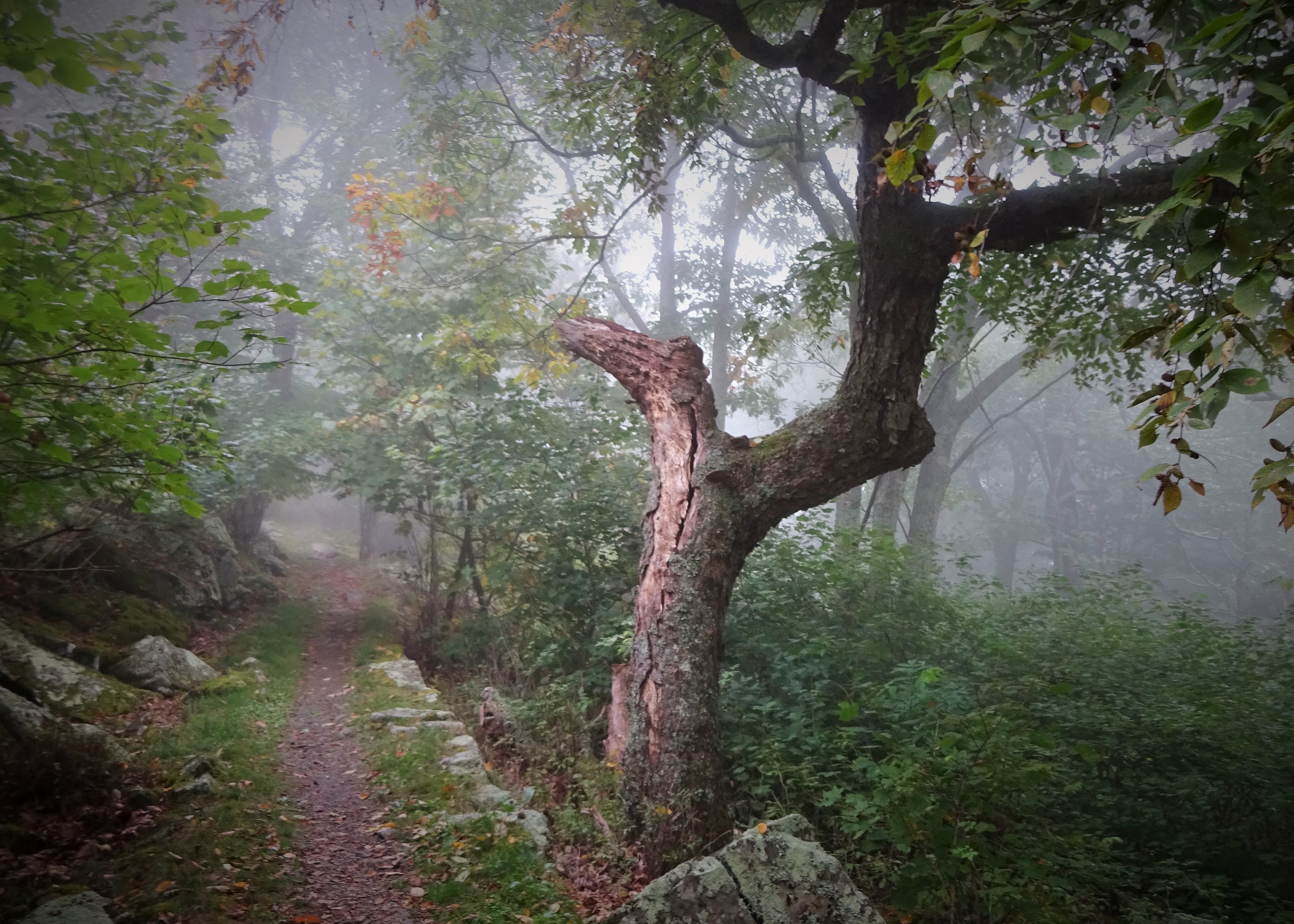
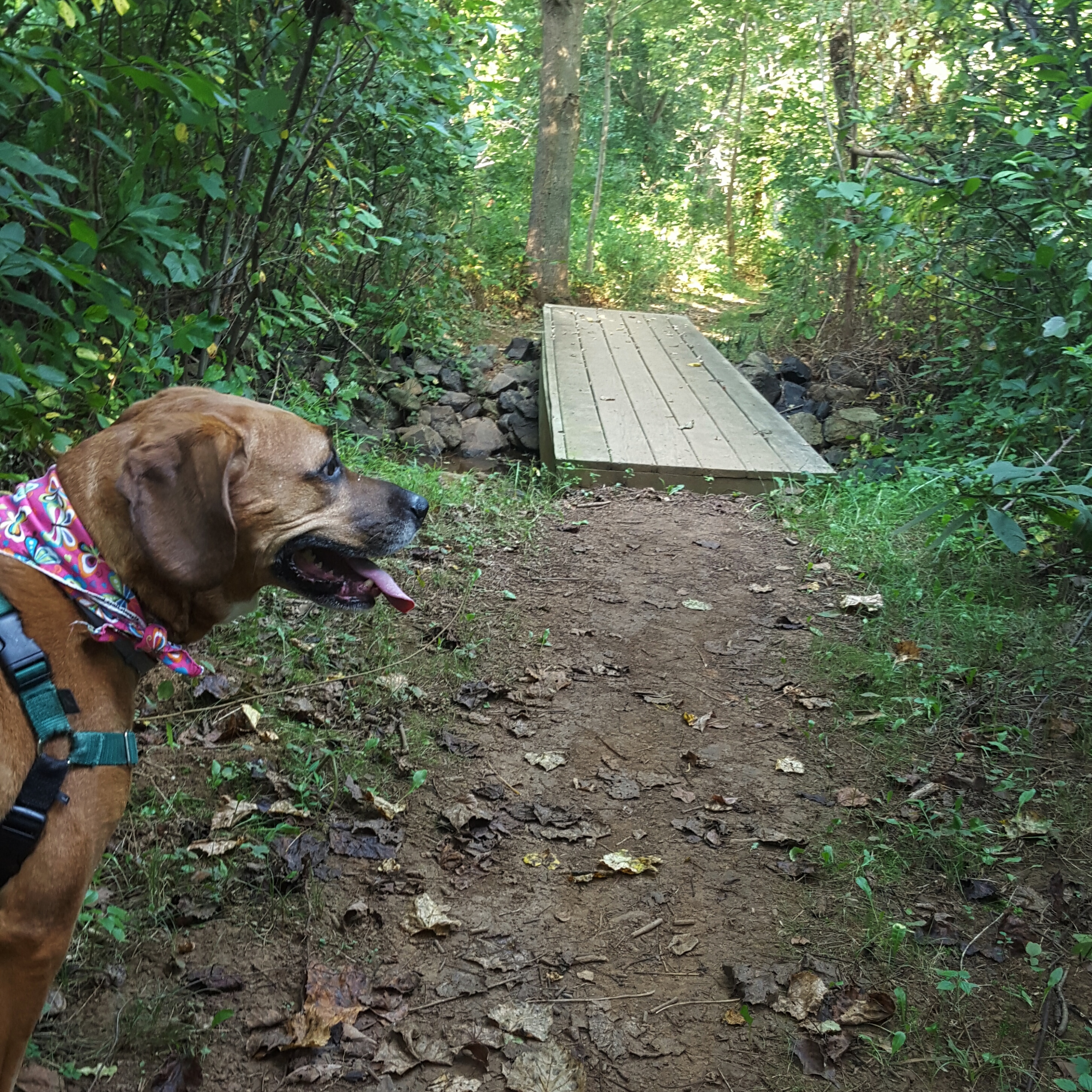
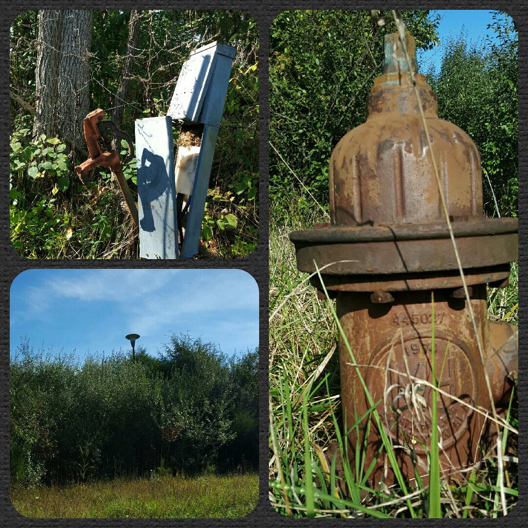
We hiked further up the road. Veering right at the next fork we found the cracked, old pavement ended and our wade through thigh high grasses began. It was still a road, just unpaved and not frequently used. We found a power hook up, like an RV or trailer would use when camping and looking around discovered we were in one of the old campground areas. Overgrown and forgotten, including the bath house. But no caverns.
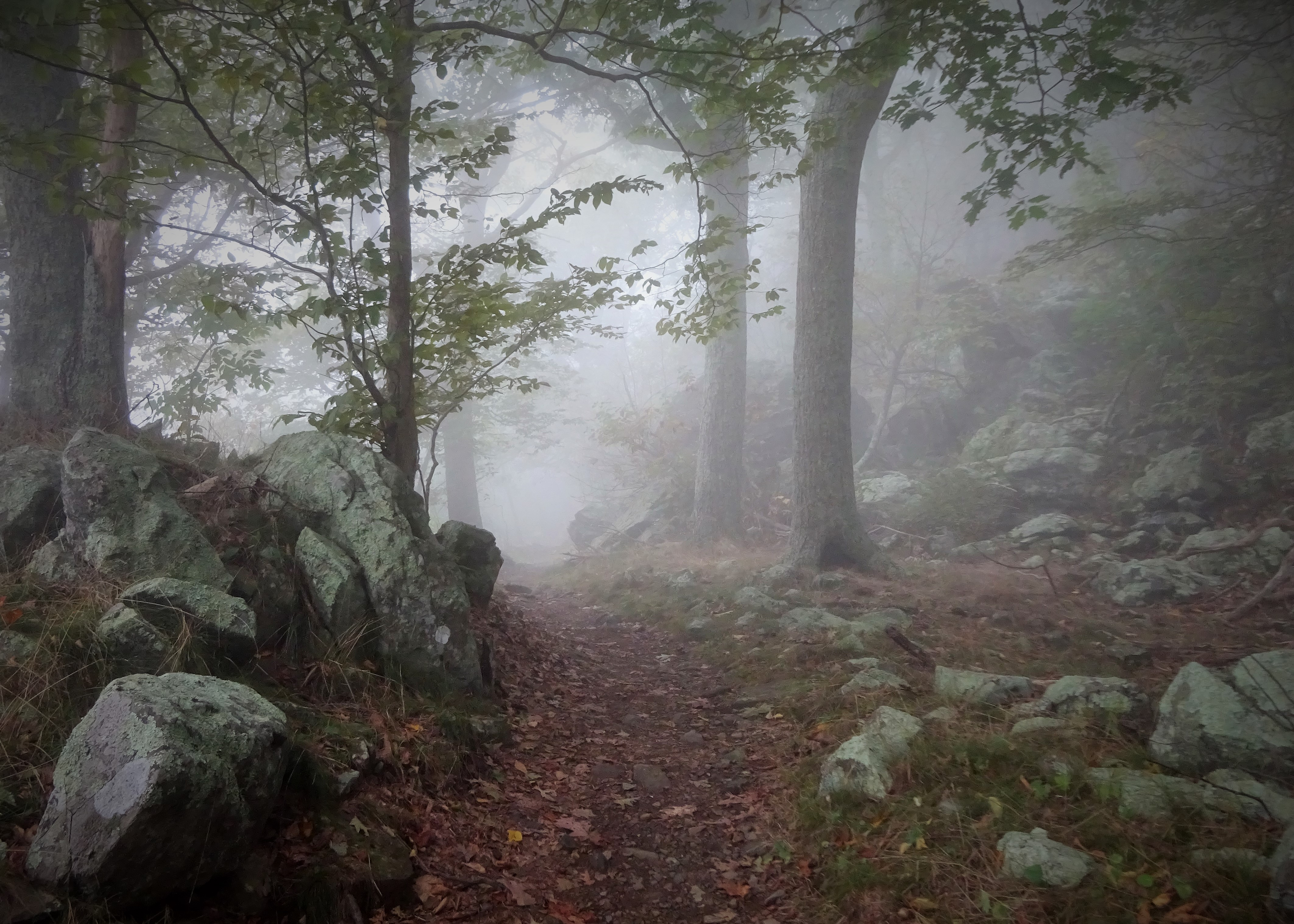
We hiked up past the maintenance area, into another campground loop long forgotten. More power hook ups, but now with an addition of water pumps! And security lights floating above the trees that looked like flying saucers. 🙂

But still no caverns! Online resources stated the caverns had been “adjacent” to the campground, so they had to be here somewhere!
We stomped up and down and all around Schoolhouse Ridge until our stomachs were growling and our feet were sloshing in our shoes. Still nothing! Where could the missing caverns be located?
We headed back downhill, not satisfied with our search, we discussed next steps. “We can leave a car here in the parking lot, then drive further up the road…there has to be something!” I said confidently. Okay, good plan! Let’s do it! So we did.
We took my car and drove about a hundred feet up the road to the Train Museum. I turned in and we found ourselves in the middle of yet another adventure! Only $2 to take the train ride??? OH WE ARE DOING THIS…wait, do we have any paper money? I found three crumpled dollar bills and Queen V found a dollar’s worth of change in her wallet…train ride on!
“Hey, do you know about the caverns around here?” I asked the conductor. Of course he did and told us he would fill us in after the ride. 🙂 🙂 🙂
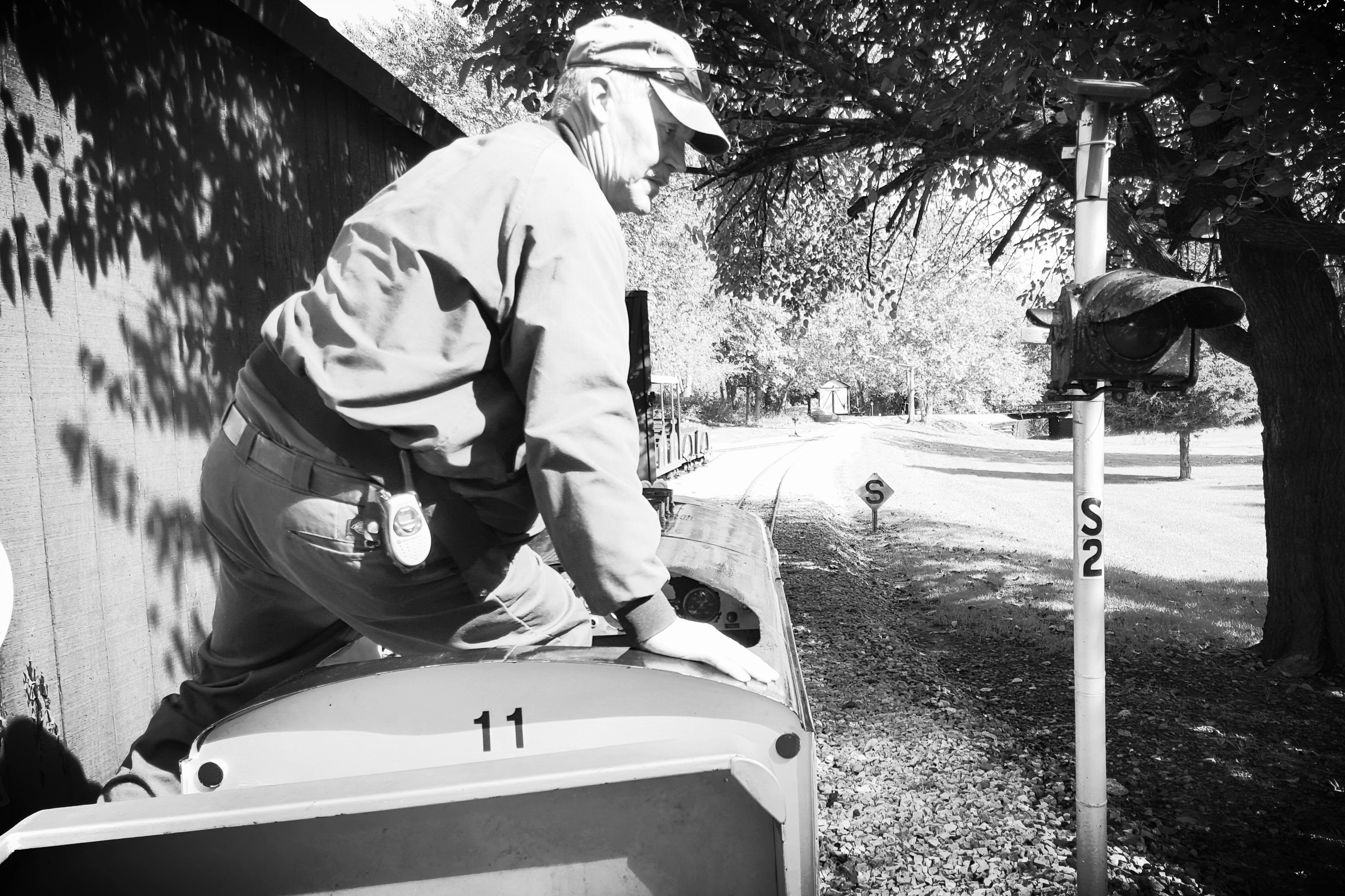
This guy had information on the caverns! After the train ride, he happily gave us a little history lesson.

I think we had more fun than the kids on the train!
The Train guy’s story:
The campground closed in the 1970s. “It would have been miserable up there in the summer. No trees then, just out there in the middle of the field.” He shows us an old post card. A view from above, happy campers lounging by the pool with the long low house in which Yogi now resided. “Oh yeah, the caverns are up there, but they filled them in too…they were collapsing anyway. Pretty dangerous.” he finished.
We still want to find those old caverns…but for now the missing caverns will have to remain missing for us! Hike on!