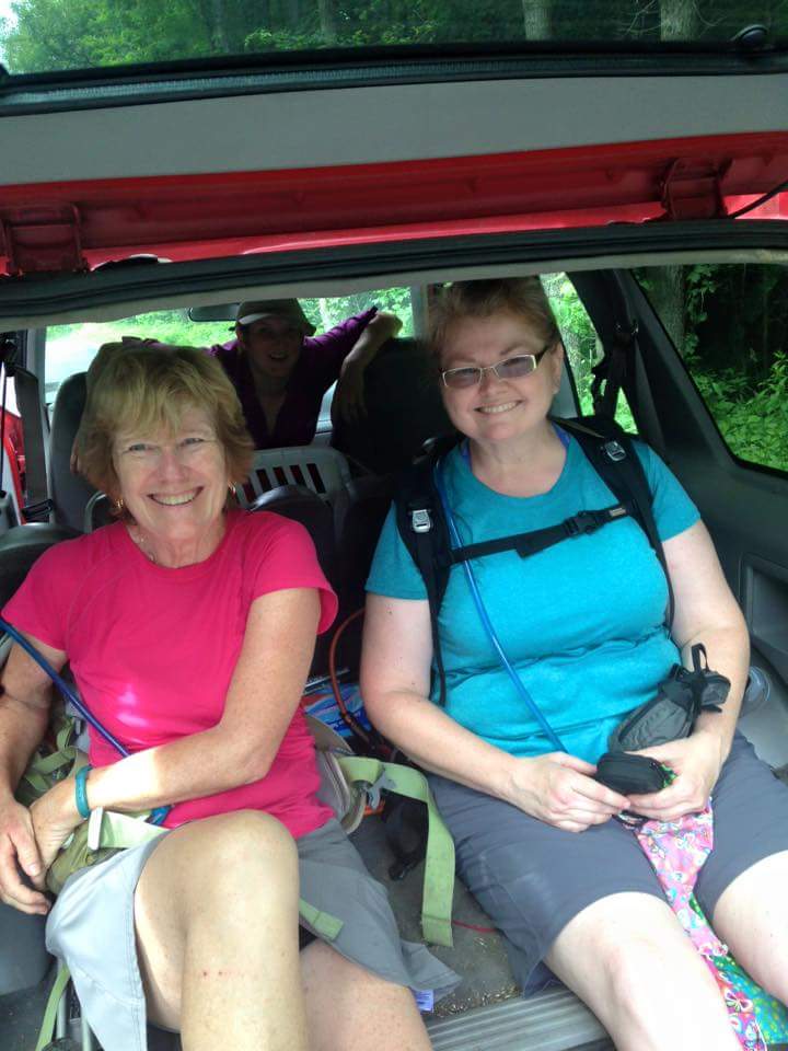
Here I am at my desk preparing for the semester, but thinking of the trail! It is a needed diversion to calm my nerves as I head into a semester fill with many unknowns.
My mind is wandering back to last weekend when I completed a big, three new miles on the AT in Virginia. This is the crux of the solo hiker…no shuttle means an out and back hike. But…Excitement of stepping on a new section of trail overrode any misgivings I might have had about retracing my steps! I turned my car towards the Virginia state line, Sidekick Pauli riding shotgun. 🙂
The parking area off of Rt. 725 is quite pleasant and shady. Hmmm…2:30 in the afternoon. Starting mid-afternoon is not usual for us and created its own challenges in terms of the heat and our energy levels. After crossing Rt. 55, up the hill we went, headed south to the Jim & Molly Denton shelter.
The lull of the afternoon had me drifting off into trail daze soon after starting down the soft dirt path.
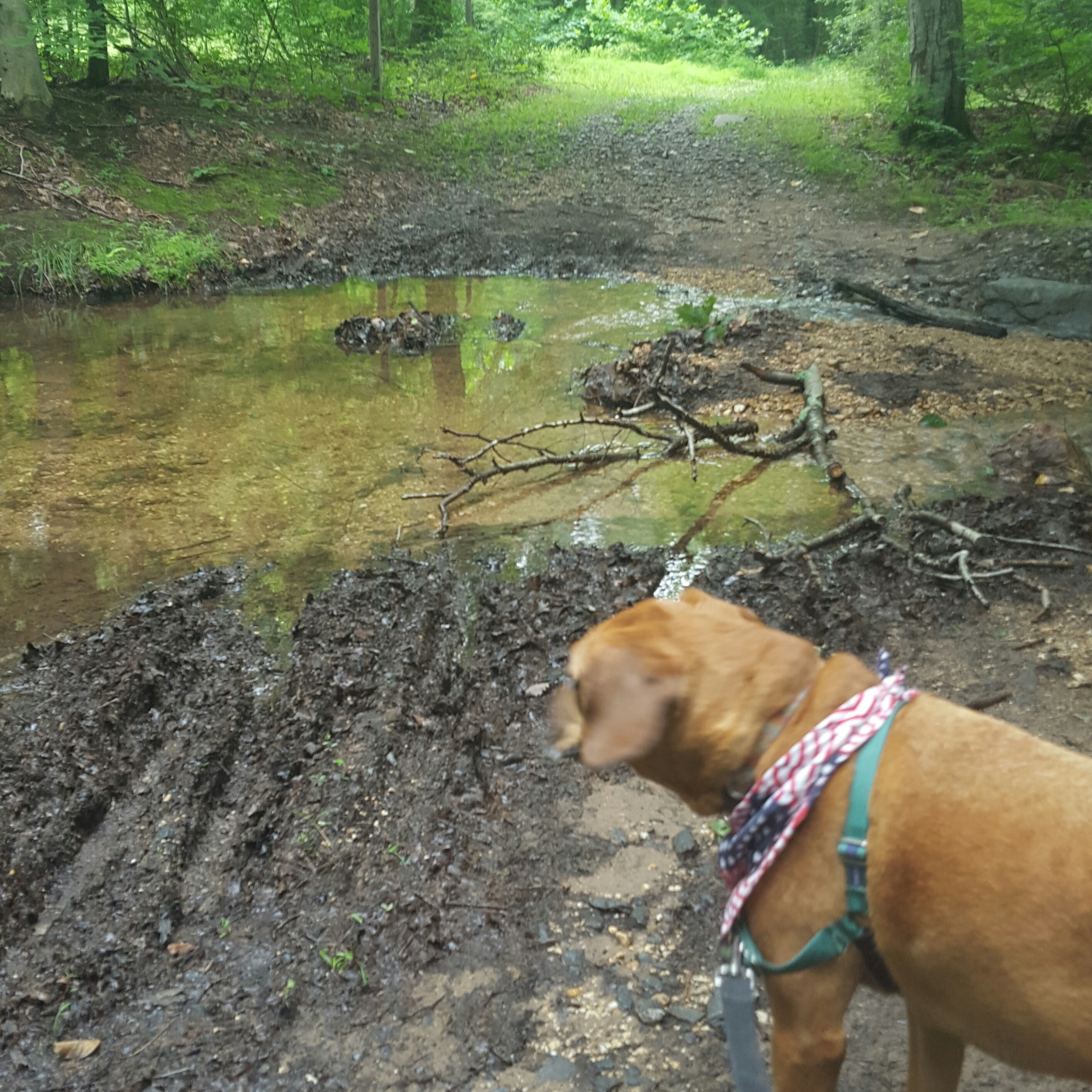
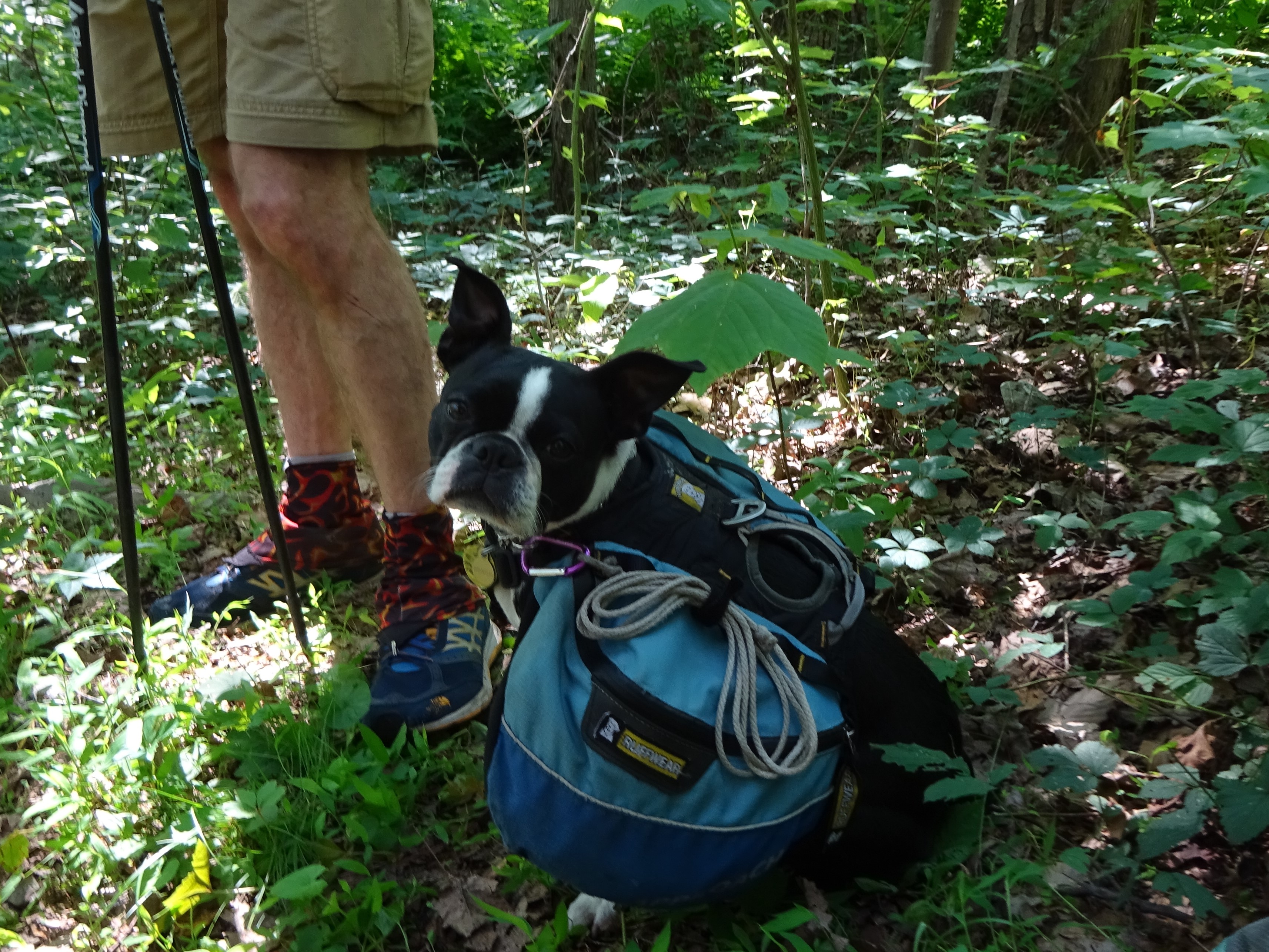
So I don’t remember if the Bee Lady’s dog rushed us before or after the train tracks, but it was shocking none the less. I yelled up the hill, “I have a dog!!!” I heard a young woman call to the dog, but of course, the dog was too excited to stop. Sidekick Pauli, always on a leash, gave a snarl as this young, energetic, white dog came crashing down the hill and right into, then onto her.
The woman, who was calling out louder now (in a way that told me she had NO control), rounded the corner and I could see she was carrying a child. Luckily, the dog was not aggressive in a “I am going to kick your butt” kind of way so Sidekick Pauli got over her initial annoyance and tolerated the dog until we passed. After passing, the young woman and I talked a bit. Her son had been stung by a bunch of ground bees…ouch. She described where the bees had been and was quite worried that we would get stung if we continued.
Okay, I forgive the Bee Lady and her dog (and hope her son is okay). On with it!
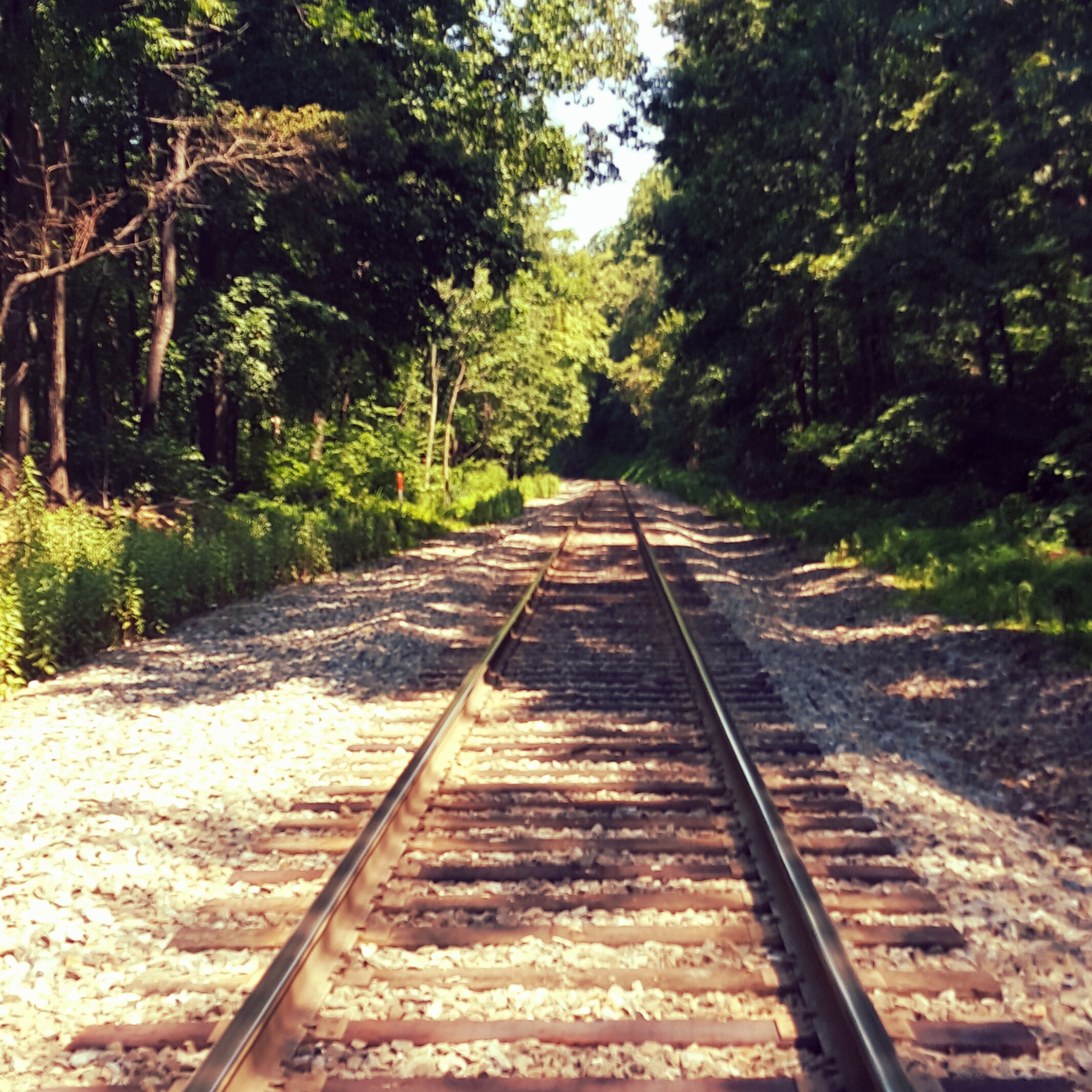
Soon after stepped across Railroad Tracks
On up the hill we went, enjoying any breeze that managed to reach us on this muggy afternoon! Then an older gentleman came towards us with a full pack. He asked if I had run into the Bee Lady. I replied that indeed I had and wondered whether the bees were going to be a problem. Turns out he had checked it out and apparently the bees had gone back to the ground and were not on the trail. “You have a trail name?” “They call me Chicken Farmer.”
Well, Chicken Farmer’s story hollowed out my soul. My eyes watered as he told me his wife had died on June 17 (my anniversary). His son came to watch the chicken farm so he could retreat to the woods along the Appalachian Trail. Starting his hike in Port Clinton, he had come south to Harper’s Ferry to visit with friends. That morning he had again set his feet in motion starting at Chester Gap near Front Royal, then headed north. I bid him safe travels and again headed up, with a heavier heart and a desire to drop everything and head back to Hoosierland to see my Mom & Dad.
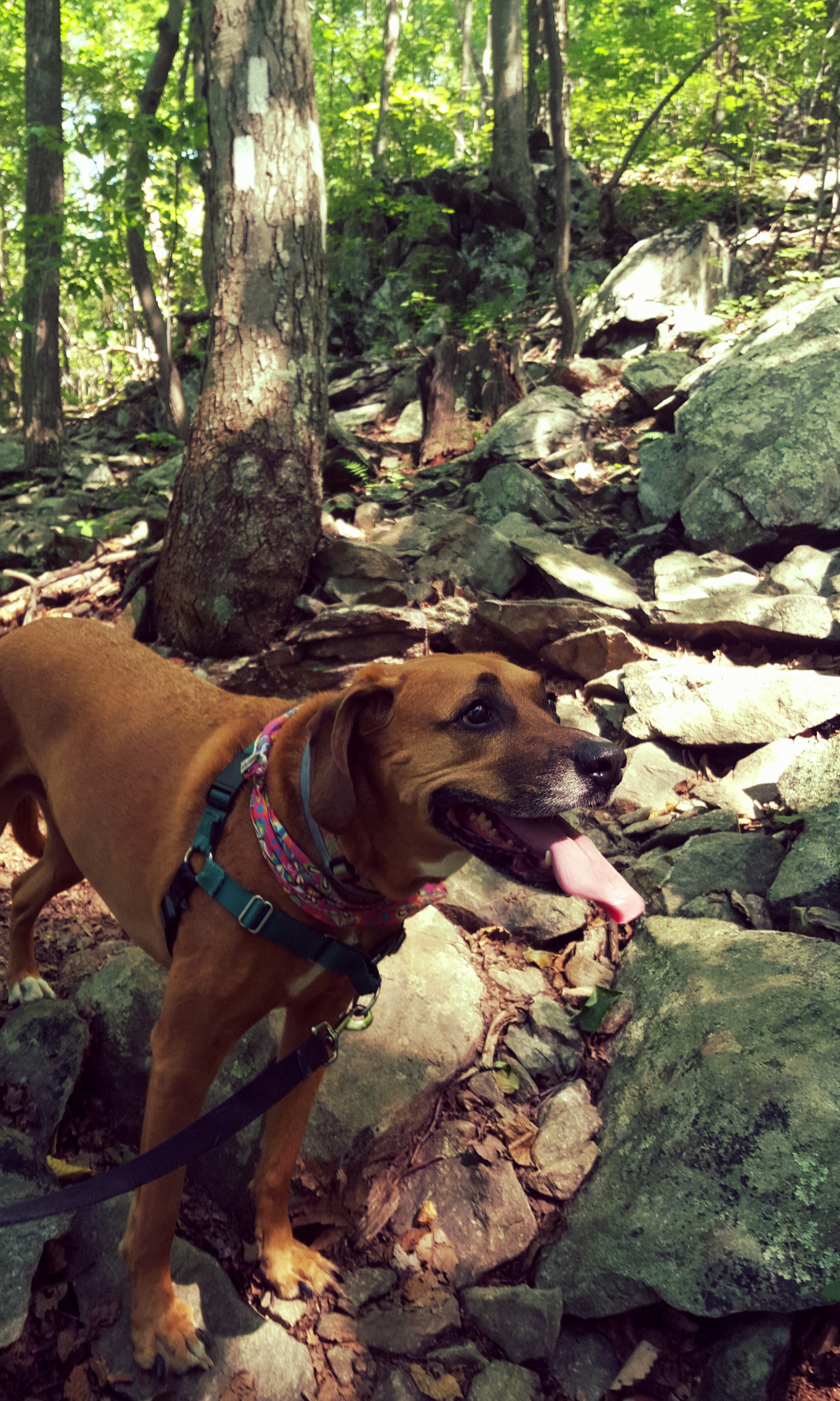
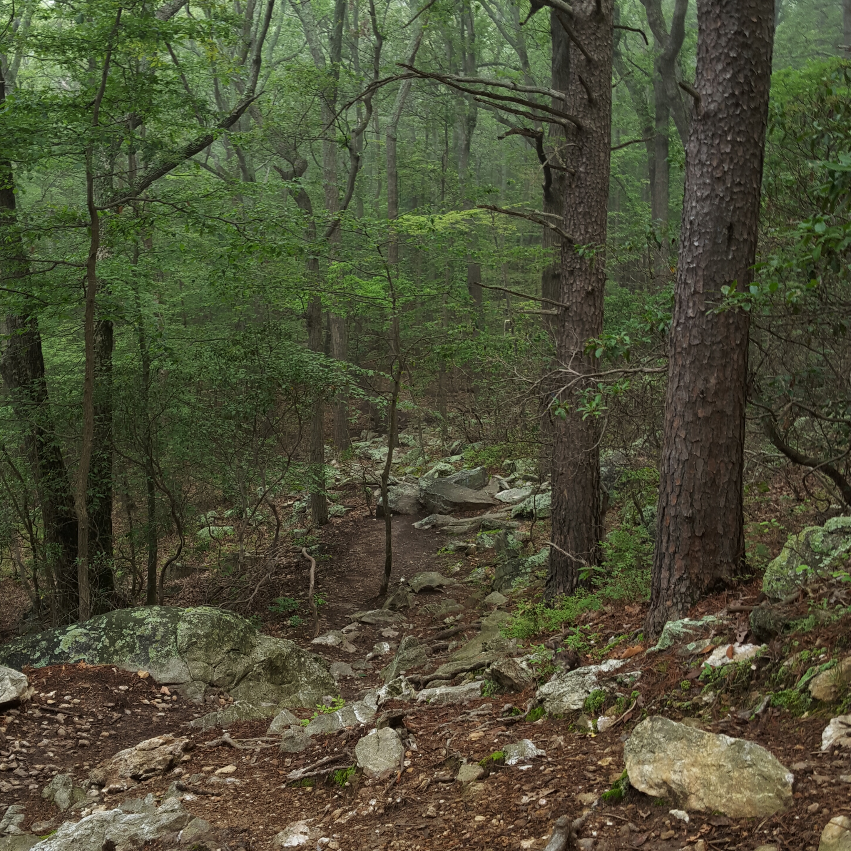
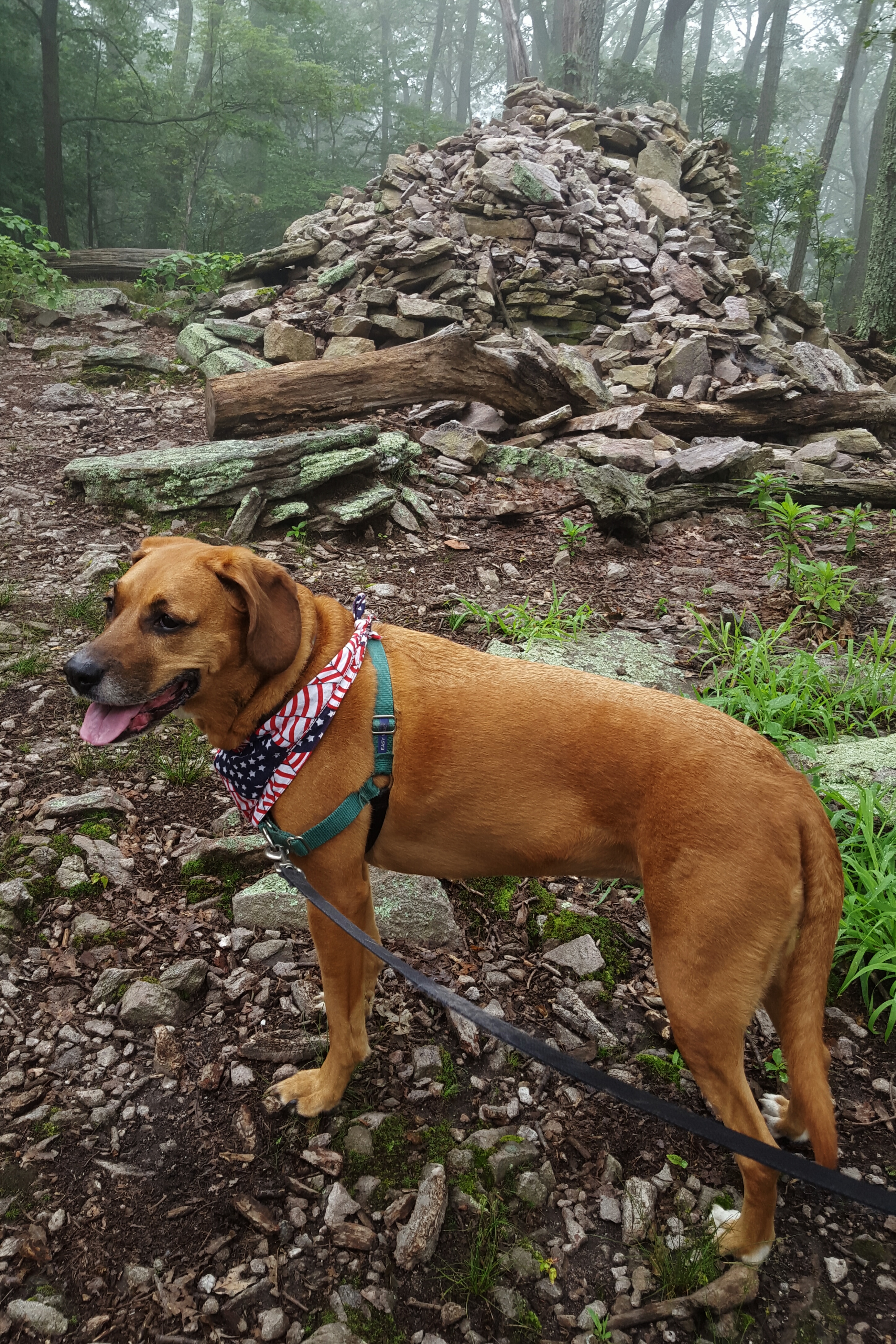
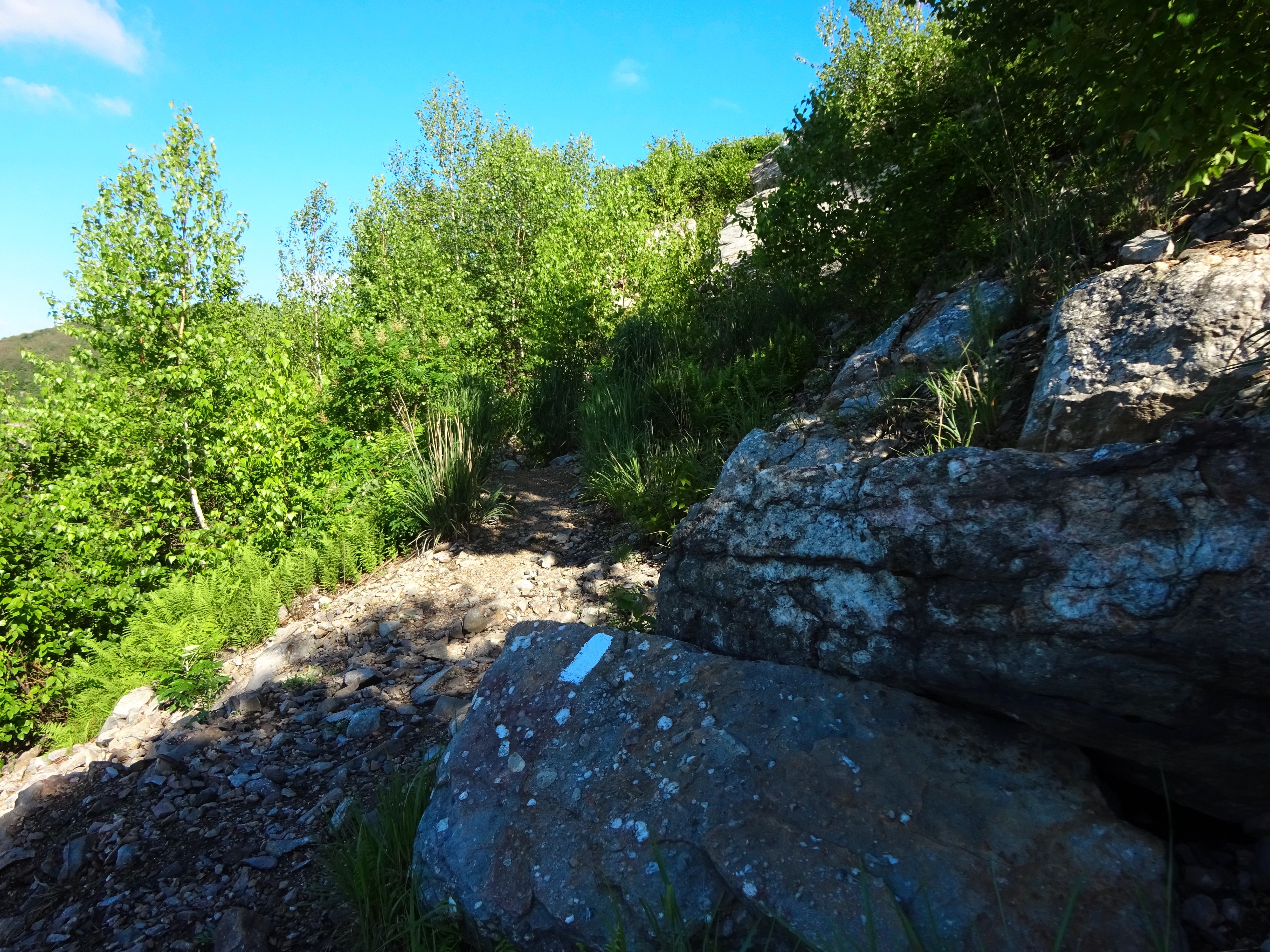
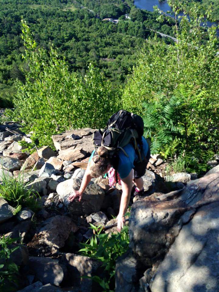
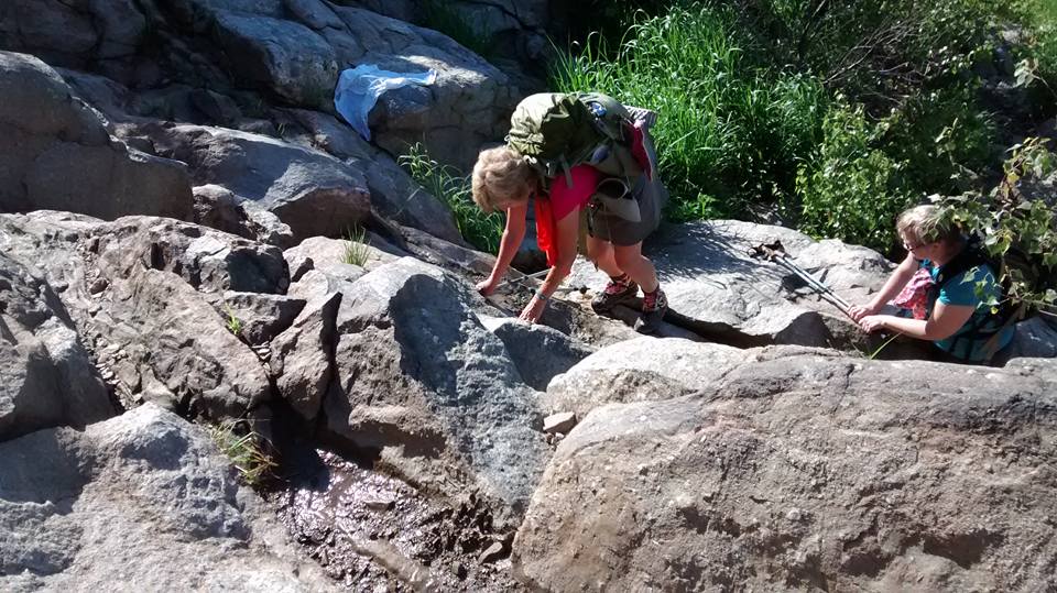
Are there ANY trails without rocks??? Sidekick Pauli is happy regardless!
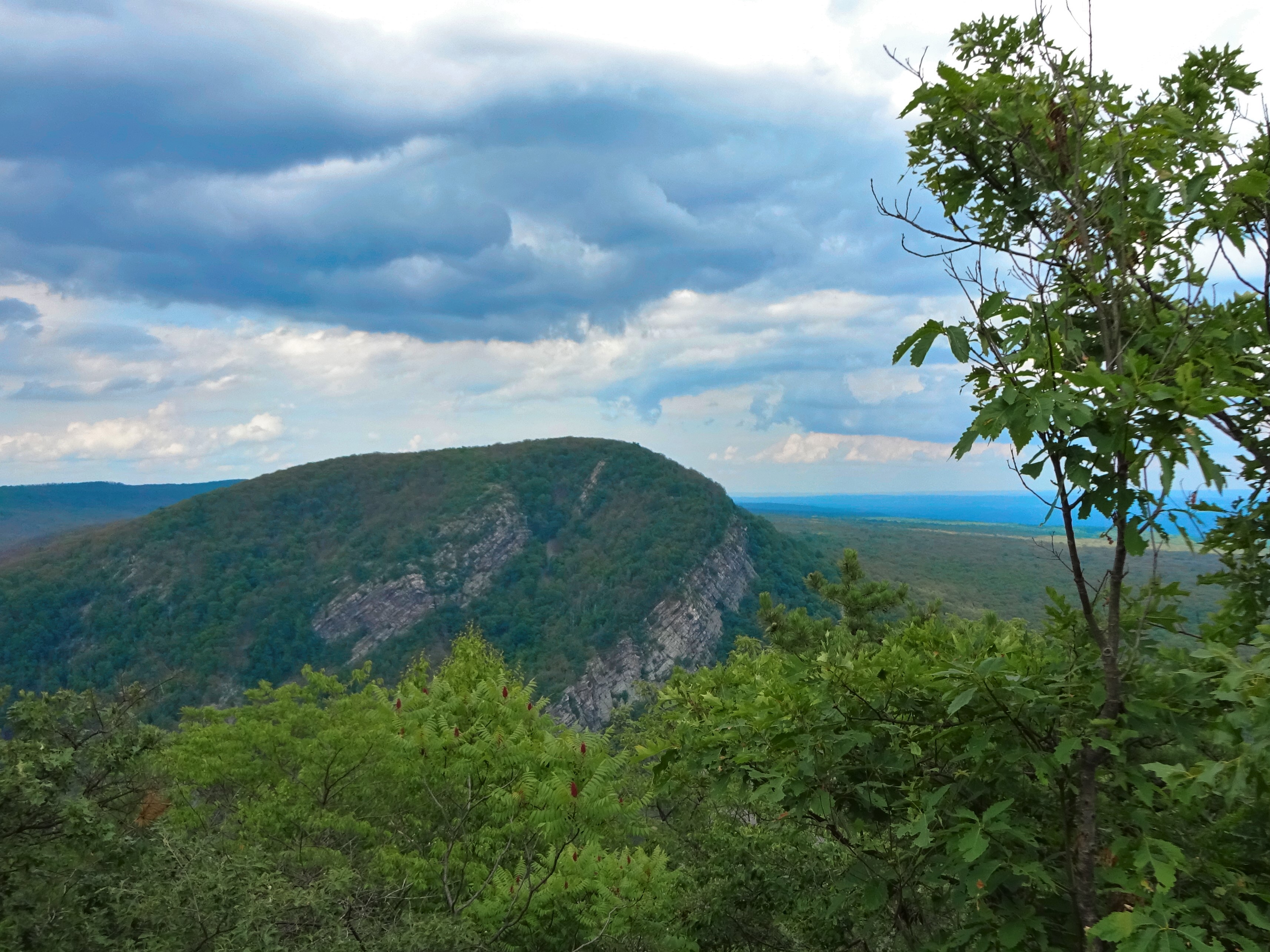
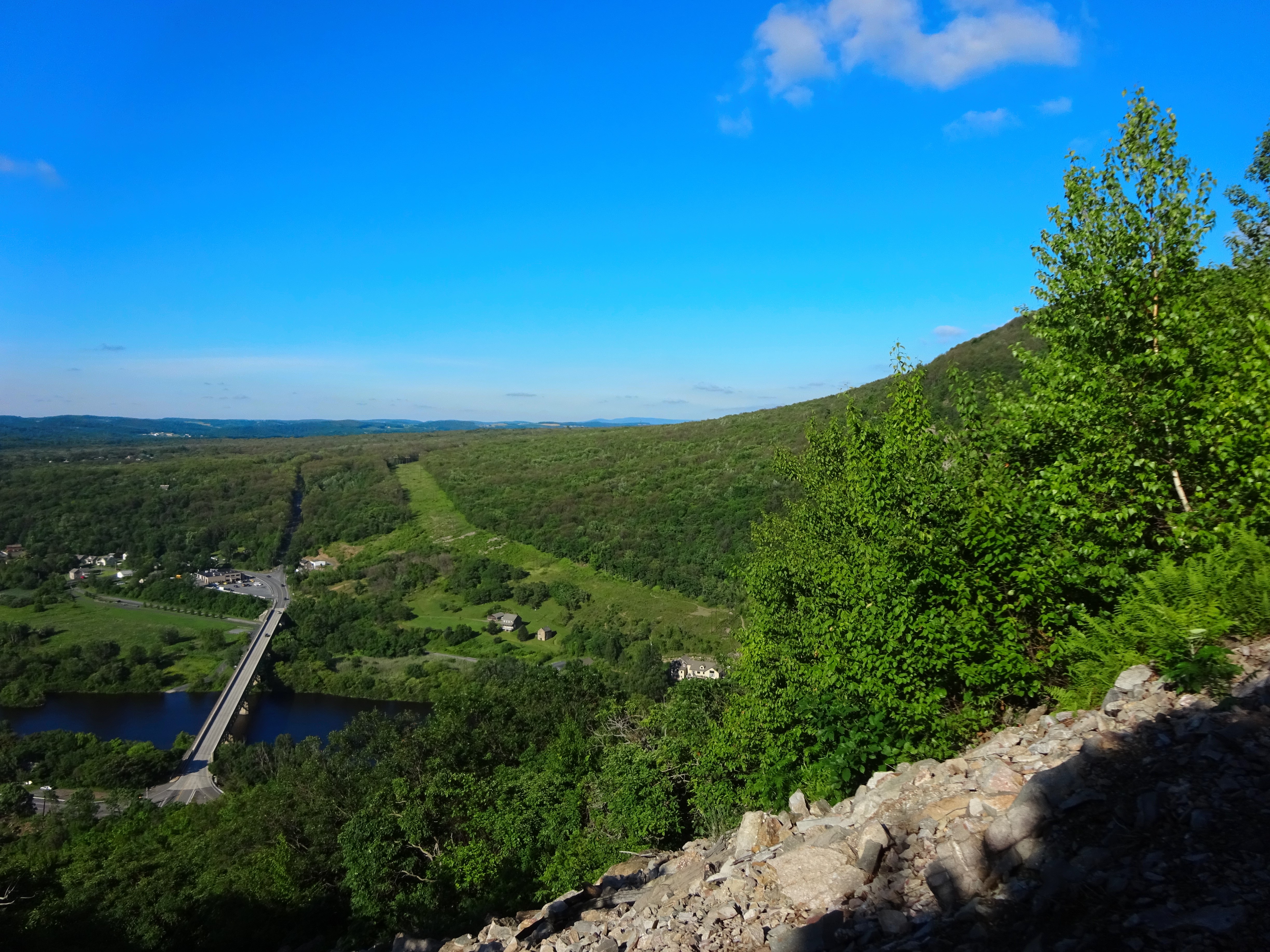
Ahhh, we were nearing the top of the hill, I could feel it and I welcomed it. Finding a nice rock to sit on, Sidekick Pauli and I stopped for a long water break. Tops of mountains are so peaceful. There is always a breeze that pushes the treetops aside and finds its way down to the weary hiker. 🙂 A chill went down my back as the wind met with my sweat soaked shirt. I enjoyed it…I can definitely tell you I enjoyed that moment!
-

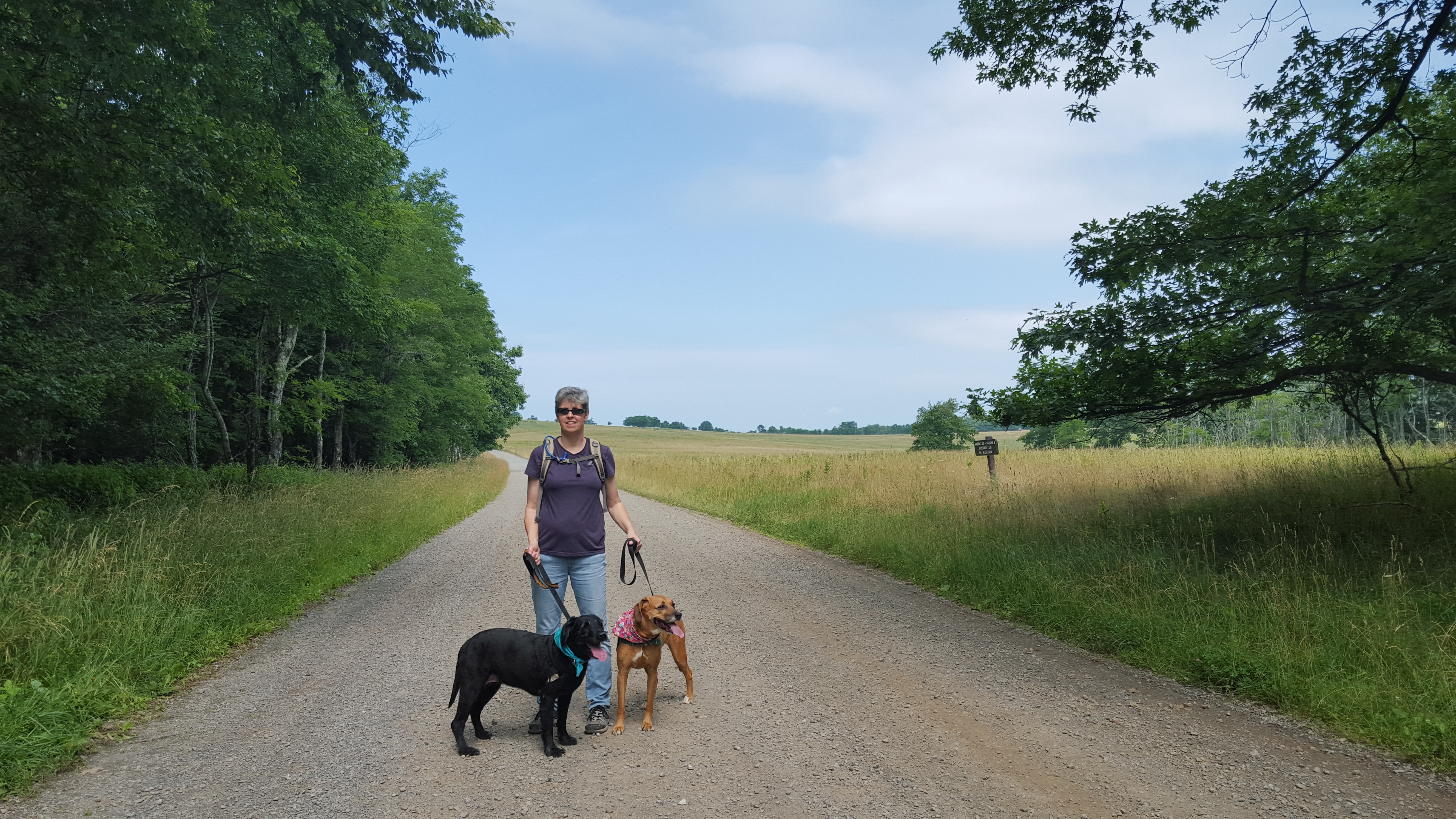
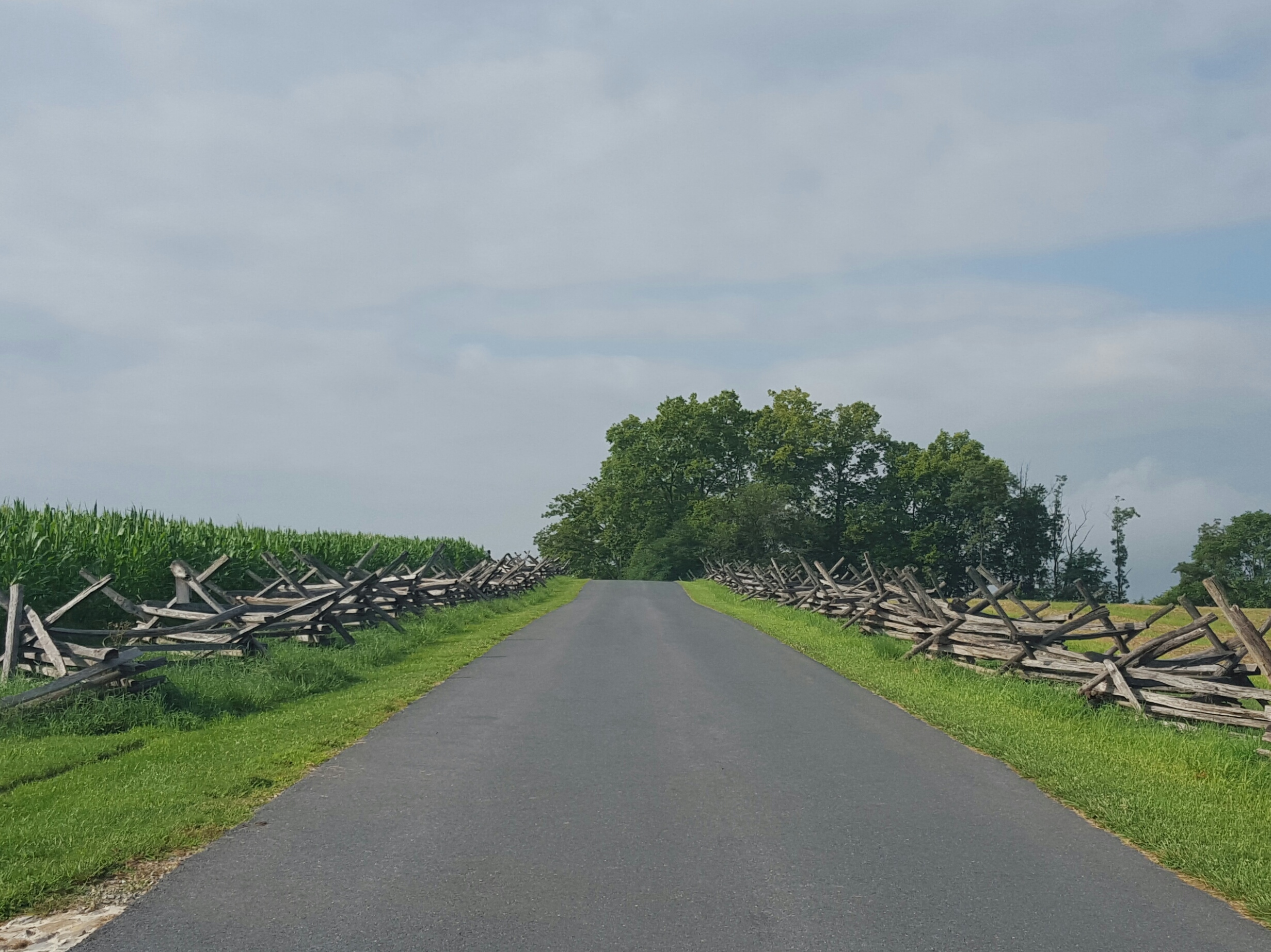
- Oh, a field walk!
-

- Why is there a bench under a dead tree? No shade here!
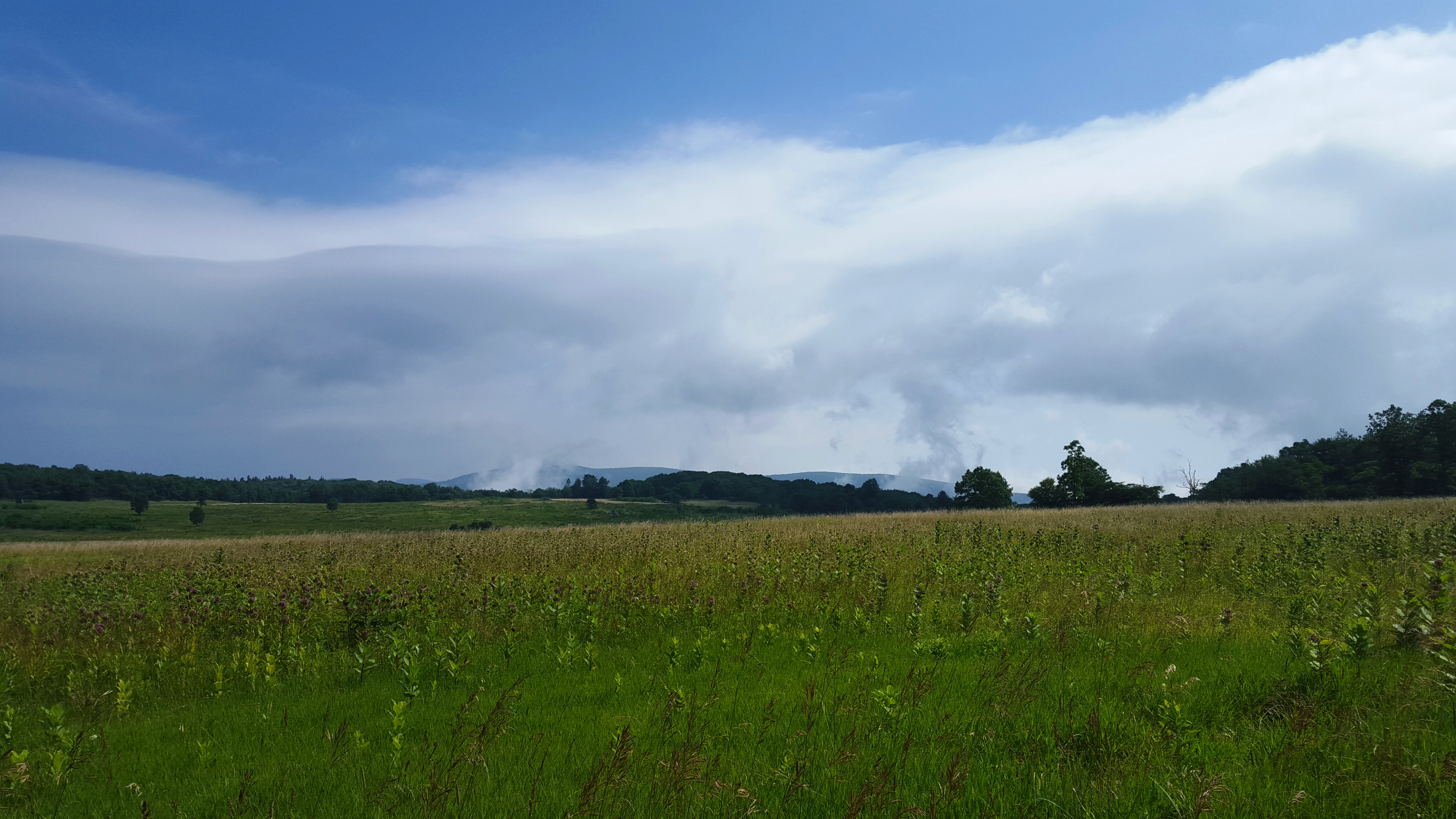
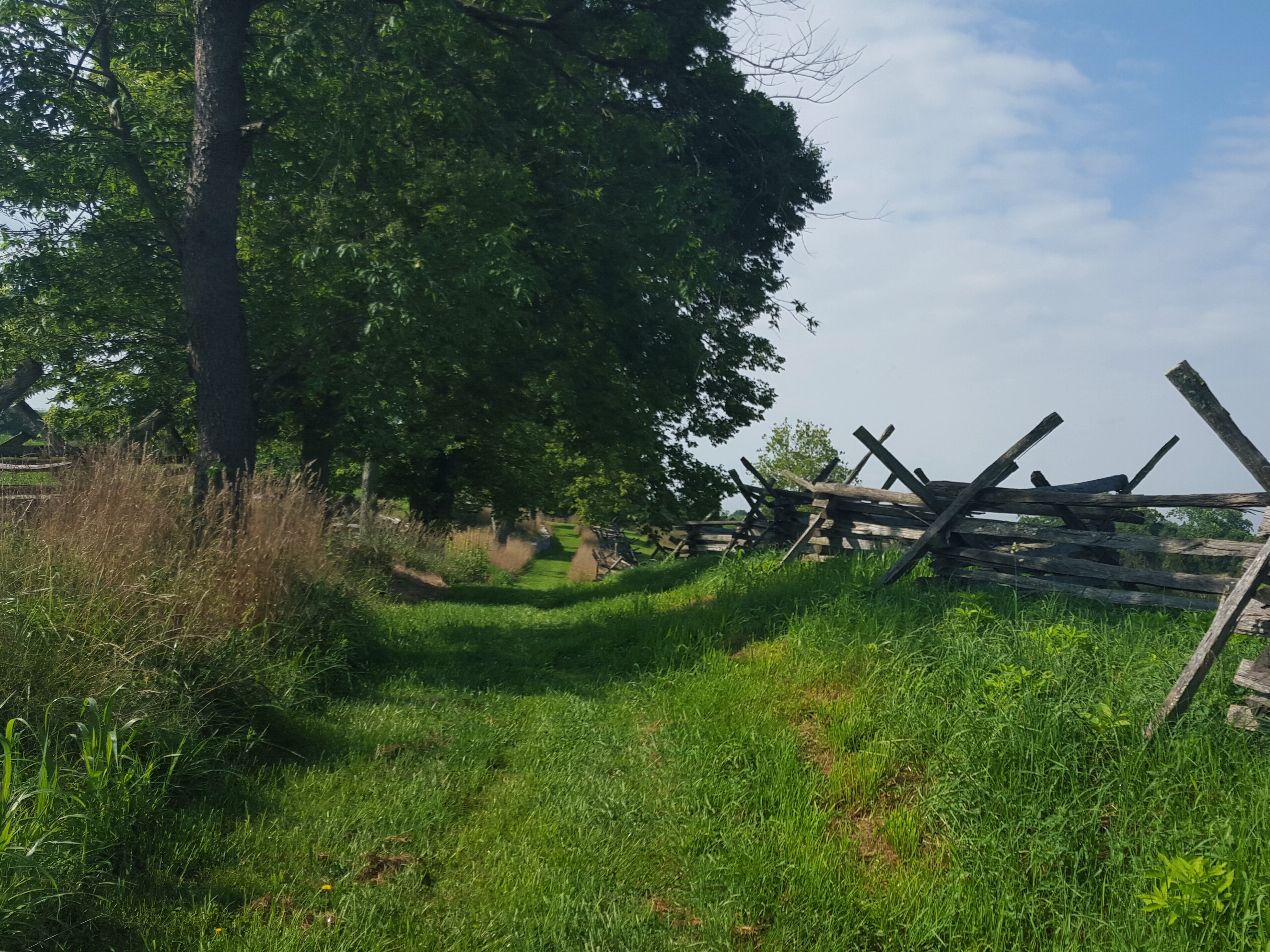
Once over the ridge, we were excited to see a large field. We ran a few steps, channeling Maria from “The Sound of Music”, until the reality of a 92 degree day brought us back to our steady plod, plod, plod. There were several lovely butterflies, even a monarch, that joined us in our trek across the field. 🙂

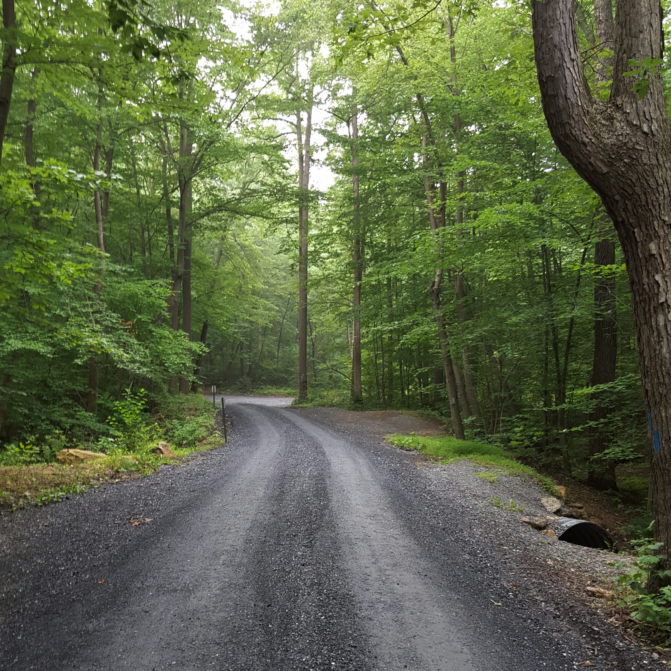
A little road walk between the hills.
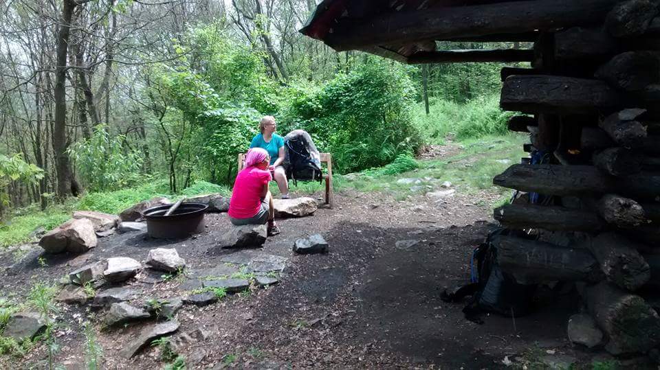
Then it was down to a road crossing, then up again to the Jim & Molly Denton Shelter. I was just plain, old hot at that point, so arriving at the shelter was a happy moment! Two college guys were hanging on the porch as we walked up. Pauli was happy to make their acquaintance and I think they were happy to meet her too! I hung out for a while at the shelter, drinking even more water, and talking with the guys. Envious, I was! Oh, to be young and on the trail for however long you want to stay out…no responsibility, no timeline other than the beginning of the semester…
-

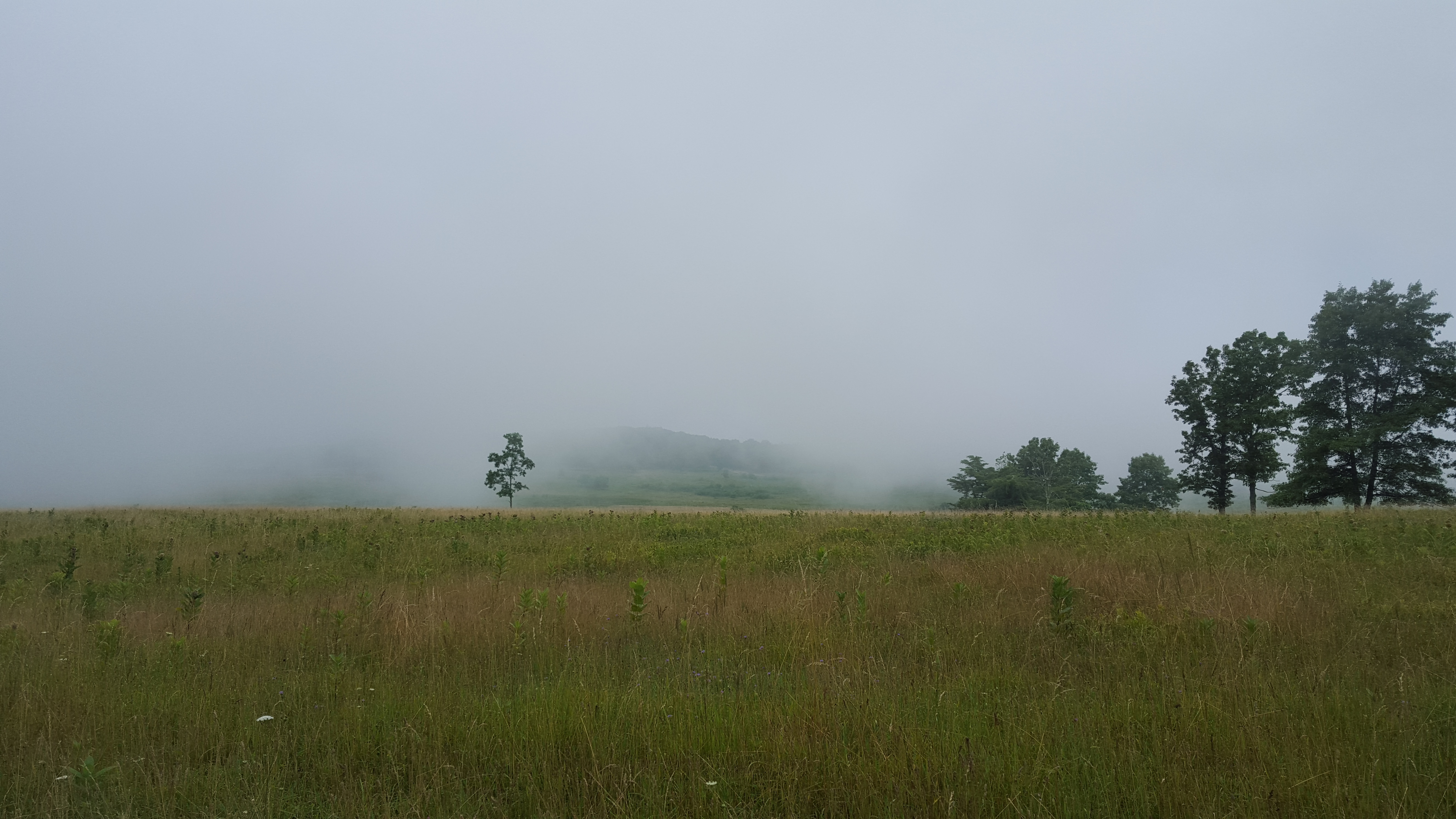
- Sidekick Pauli lounging at the beautiful Jim & Molly Denton Shelter.
-
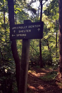
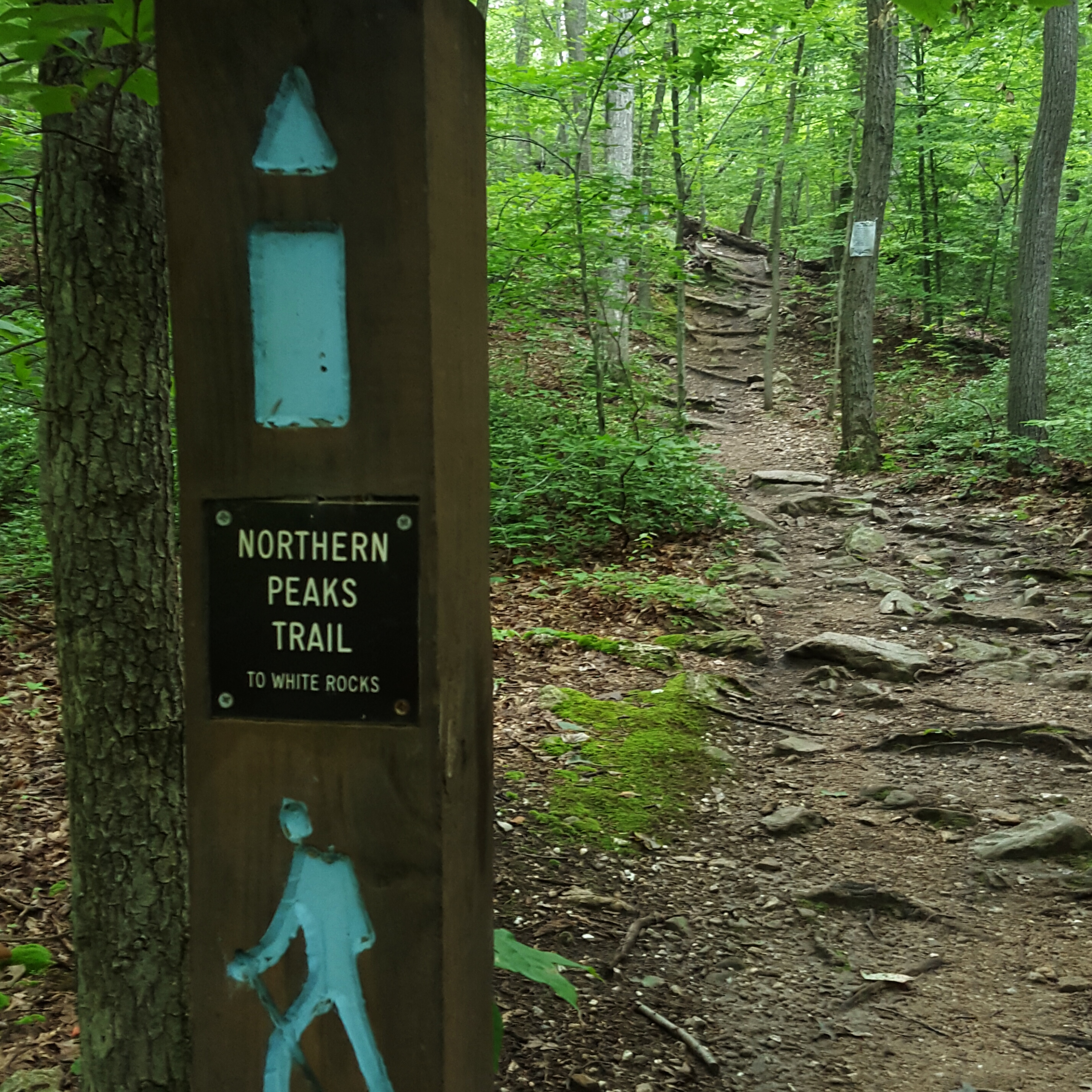
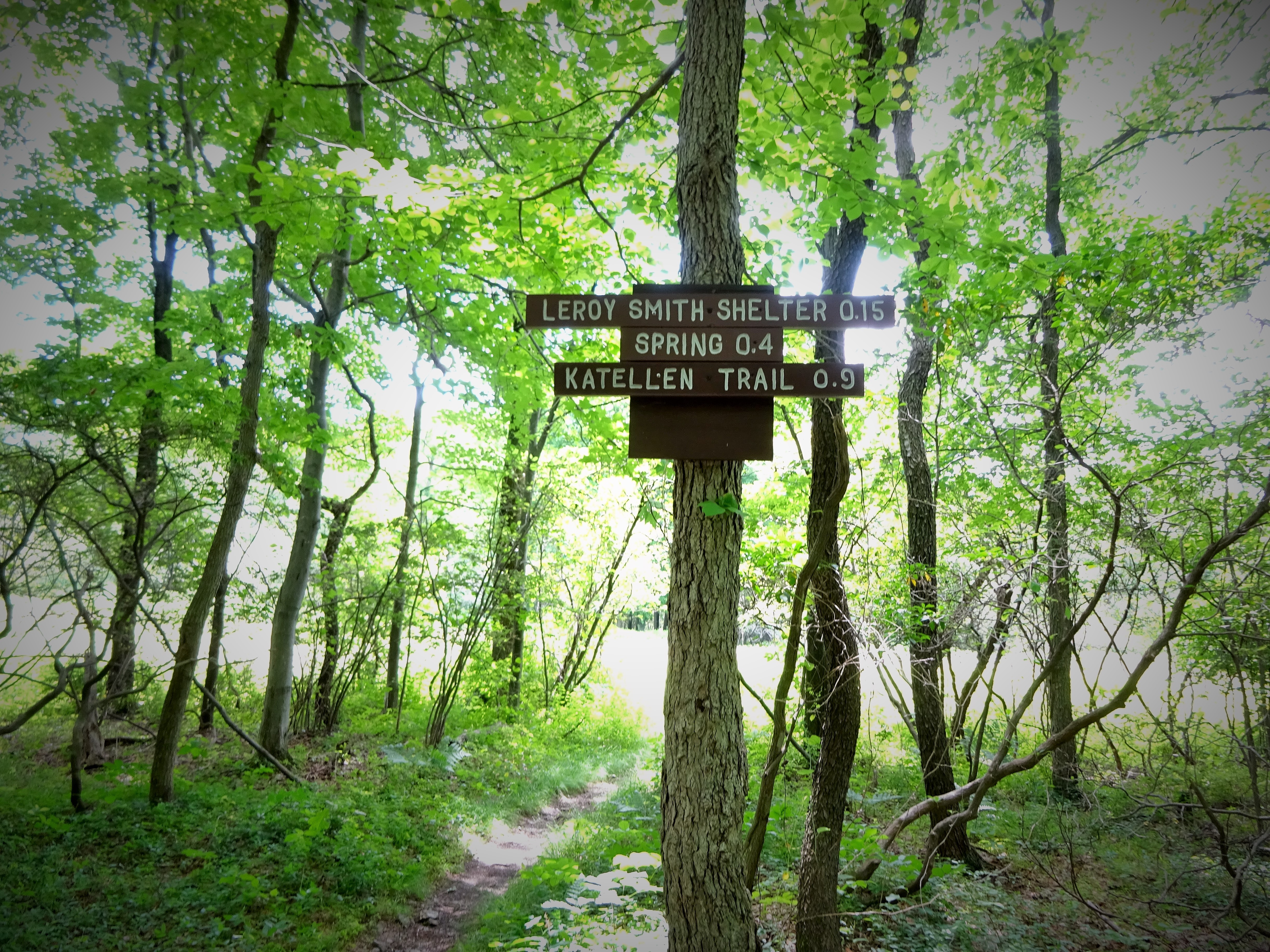
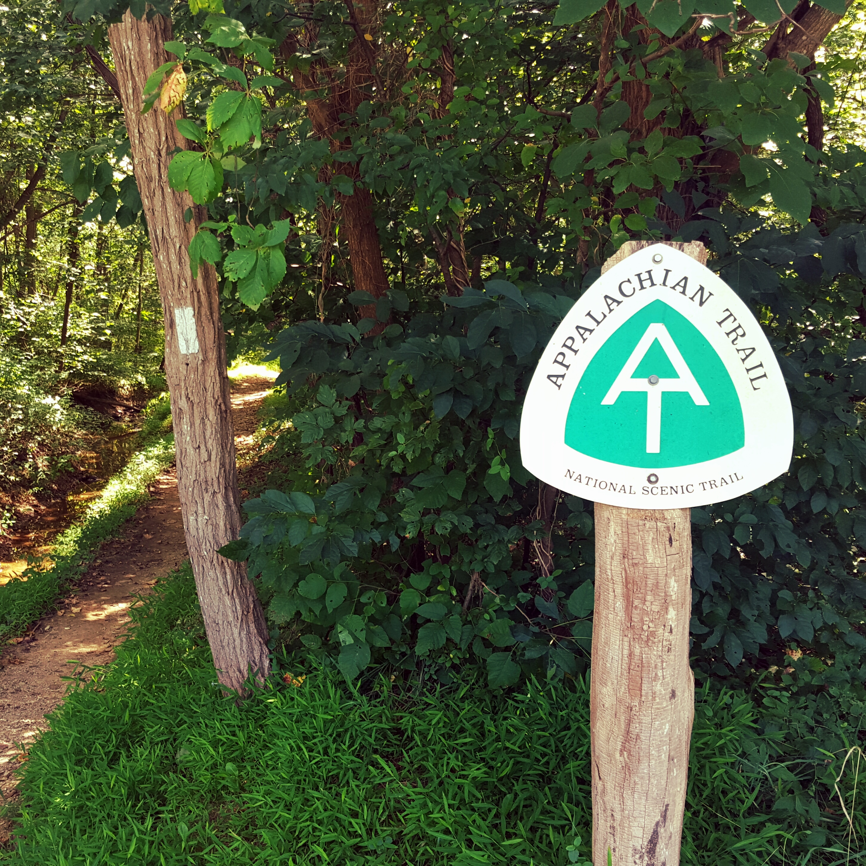
- Love the Trail Signs!
Well, the afternoon was quickly heading into early evening and we had to get back to the car. The crickets sang to us and the cicadas chirped. Shadows grew longer as we walked slowly back. No need to rush.
Hike on.