Guest Post: A Slice of Central Indiana at Elliot Woods State Nature Preserve

I’ll start by introducing myself here: I’m Logan, Girl Gone Hiking’s child. This past weekend offered a very much welcome respite from the cold, and the roommates and I decided to take advantage of the beautiful weather. We couldn’t get going until almost 3:00p, so the destination would have to be close. From our home in (scenic) Terre Haute, IN, that doesn’t leave many choices. Even Turkey Run is an hour away, so the search was on to find some unexplored options. That’s when I stumbled upon the Elliot Woods Nature Preserve, less than 15 miles away from us. There was very little about the preserve online, but it seemed there was at least one loop trail, and I’ve had good luck with relatively unknown nature preserves before (check out Green’s Bluff near Spencer, IN for a short and very out of the way hike). If you’re slightly challenged on the geography on Indiana, I don’t blame you … in fact you’re probably better for it, so I’ve gotten you this handy map to help you get a hold of the park’s location.

Still lost?

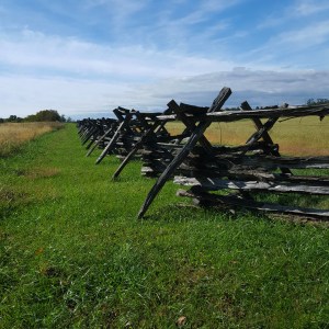
Any how, after a lovely and brief drive through the Indiana countryside, and past everybody’s favorite federal penitentiary, USP Terre Haute, located conveniently along IN 63, we arrived at Prairie Creek Park. Prairie Creek Park is part of the Vigo County Parks Dept., and is located directly across a small road from the Nature Preserve. This is where we parked to access the preserve, and as it turned out there is also a short loop trail in this park as well, along with lots of maple trees and a large camping area. Prairie Creek Park , in addition to camping, features some quite nice pavilions and tables for gatherings, and picnics, as well as several playground areas and fairly new looking basketball courts.

From the parking lot, we headed to the trail.

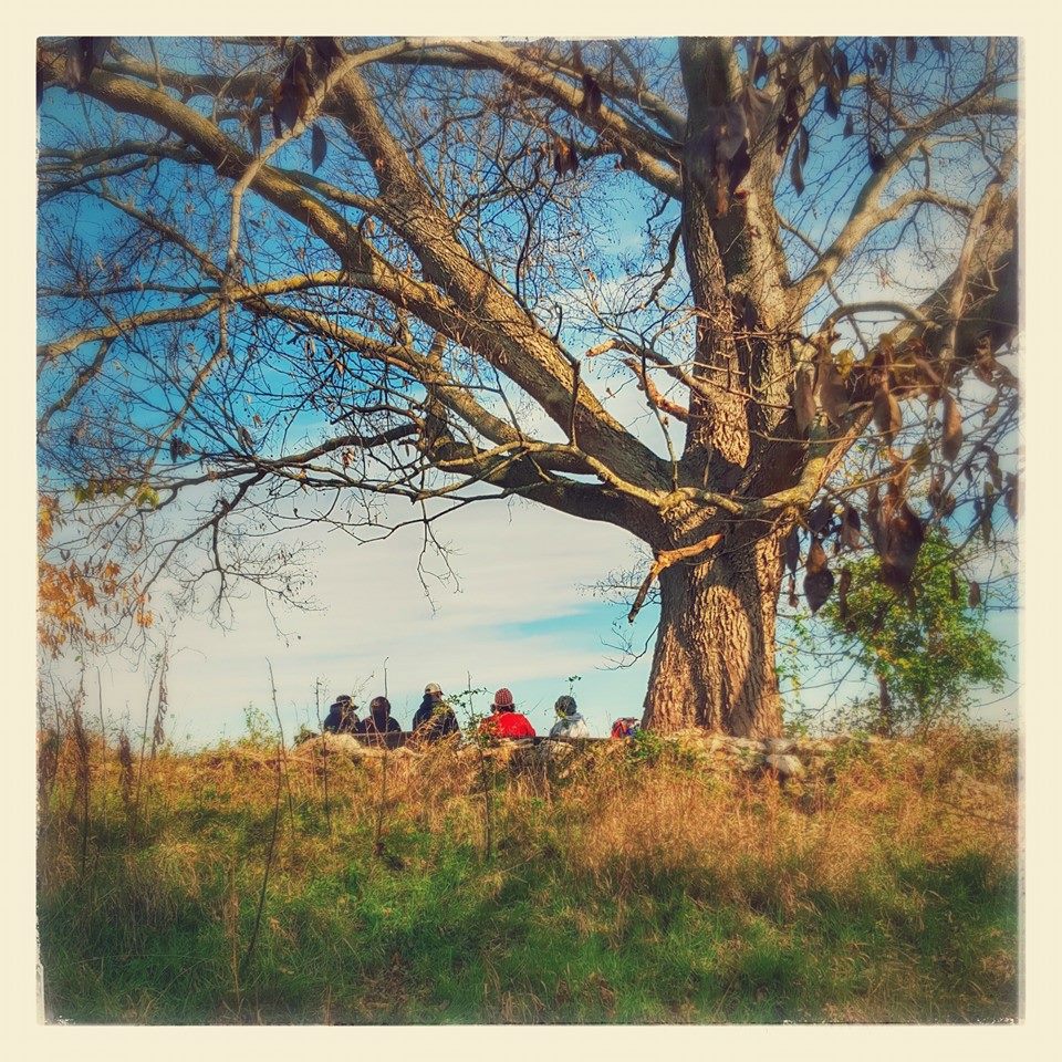
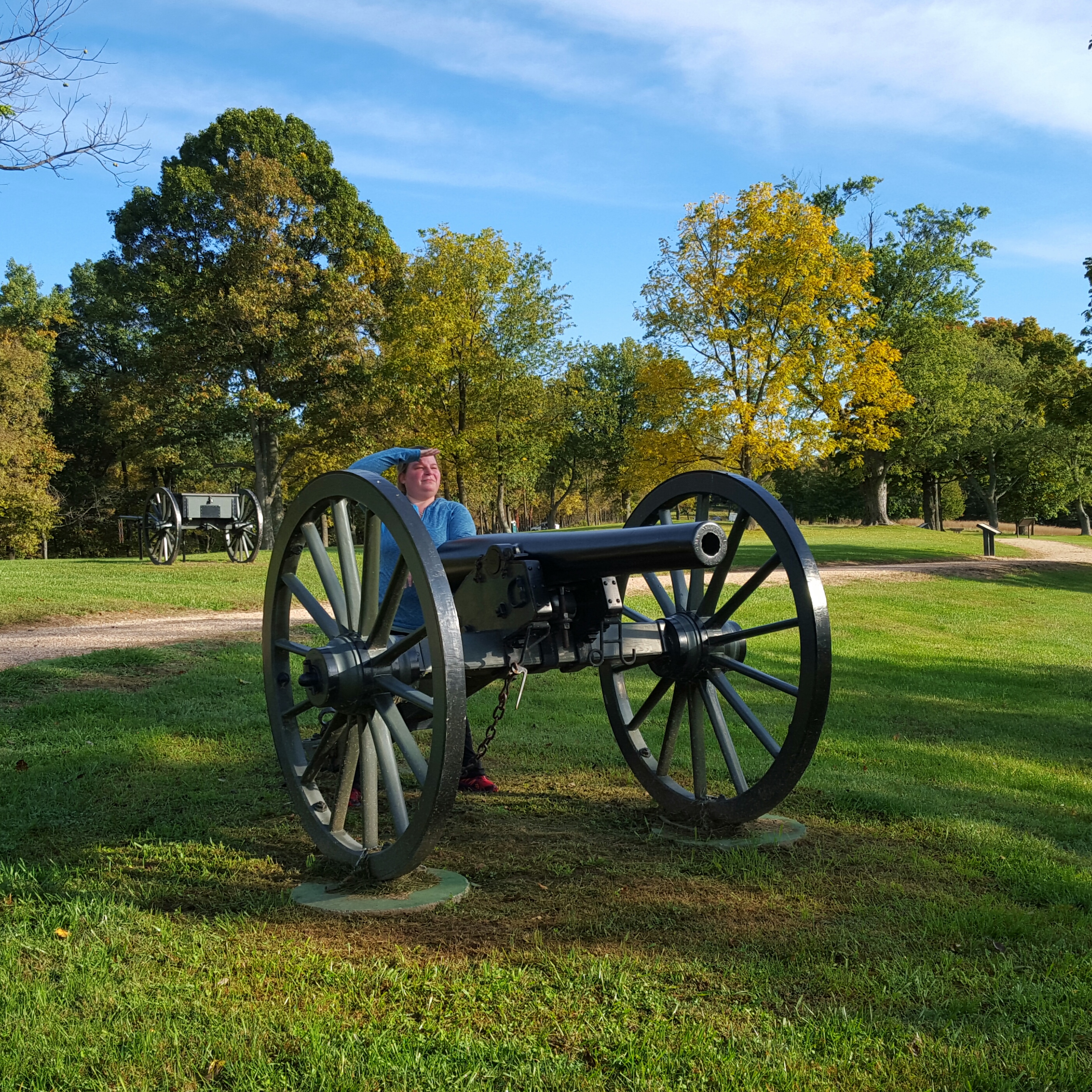
But not before I made them pose for a group photo – Hey Luke, Hey Nick.

One of those rumored pavilions.  I don’t think Luke was ready. That’s okay.

Aforementioned small road, and I sign confirming all of my suspicions that I had in fact found the nature area.

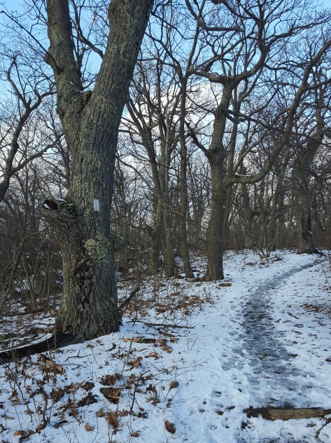
The loop trail is just shy of two miles long, and is actually quite well maintained. It is wide and meandering. While it passes up and down several hills none of them are worth mentioning. I’m sure that this would a really gorgeous fall hike. And while I’m hoping I won’t still be here in the fall to find out, we shall see.

A brief background on the Elliot Woods property, it was only acquired by the county earlier this decade from the Elliot family, which had owned the property since the mid-1800’s. According to the Indiana DNR, the property “contains a high quality mesic and dry-mesic upland forest with at least 26 species of trees and a small prairie restoration.” The property also enjoys permanent protection from future development or logging thanks to a state conservancy easement.

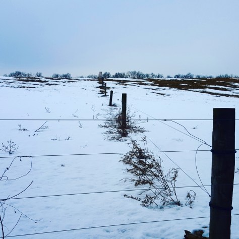
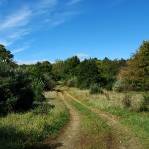
We start in what presumably used to be a field before splitting in two directions for the loop.

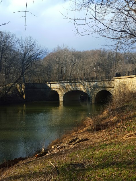
There’s a ton of these bridges, which I found pretty surprising.

And everything is graveled!

THIS ONE EVEN HAS FREAKING GRIP STRIPS ARE YOU KIDDING ME. Plus if you want to you can even sit on them and look pensive for a while.


The consensus at this point was that this was really nice place to be able to just go out nearby and get outside when you don’t have all day to make an event out it.

They look so very engaged.

Eventually the trail comes out into another clearing, and there’s a signpost with two arrows, one pointing each direction. No words, no further guidance. To be clear this isn’t where the loop closes, so see a split in the path was really kind of unexpected. We took a guess and went left, and everything worked out. Going to the right might just join up with the trail again, but we didn’t try following it to find out.

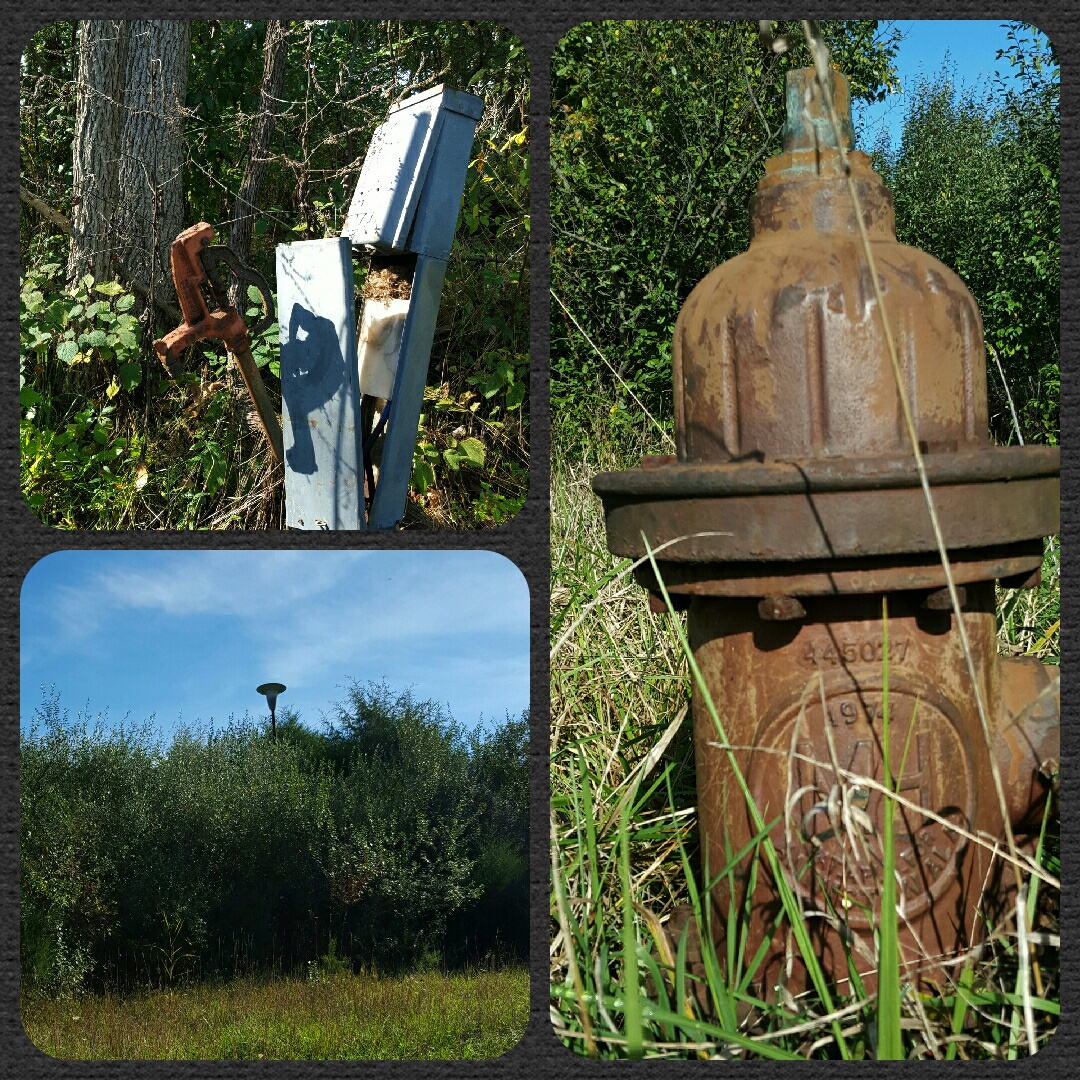
Lest you thought you would get away from the crap rotting in random fields (a hallmark of Indiana), let go of that thought now. Also featured along the way was a long ago abandoned washing machine.

We may have ventured ever so slightly off the trail  to take this picture. Don’t worry about it. But it’s nice right?

Don’t worry, we safely returned to the trail. I could feel everybody’s anxiety levels rising, so I just wanted to address that concern real quick.
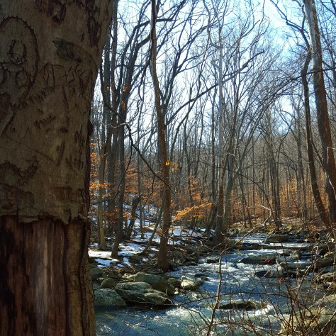
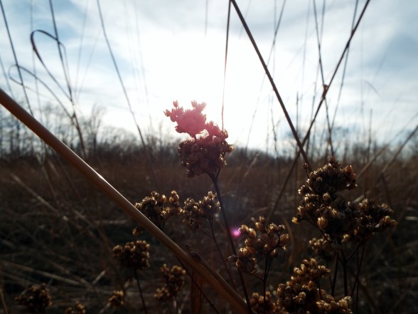
I made art!

Back in the field.

Having walked for nearly 45 minutes, we decided that somehow we could handle another short trail, so off to the little pond we went. Not quite as well maintained, but there were still lots of bridges for stream crossings and the likes. The pond itself was quite sad looking, but you can’t win ’em all I guess.

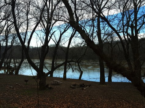
That isn’t Little Pond. Big Pond maybe?

Seriously, this park would be a really nice place to hang out on a summer day, even if you weren’t into walking.

There it is! Little Pond! The roommates aren’t so sure about it.

More little bridges, as promised.

Sorry ladies, he’s not single.

I told you that would be a short walk to Little Pond! Back already.

We really enjoyed getting out for a little bit, and Elliot Woods fit the bill. Close, not crowded at all, and generally very pleasant for a low-effort walk. We plan to come back. Maybe when there are leaves. That would really spice things up here in central Indiana.

Not Quite Spring, Not Quite Winter! A Stroll in Shenandoah NP

Cruising along Skyline Drive it occurred to me that maybe this hike wasn’t going to be the hike I had conjured up in my mind yesterday.  At that time, I sat on the edge of my bed, maps spread out around me and Sidekick Pauli sprawled  beside me catching rays from the afternoon sun.

Now I found myself facing mountains that still showed vestiges of winter.  I  pulled over no less than three times along the drive just to look, gaze in wonderment, lost in the beauty of Shenandoah.  I decided we would hike where the snow still lingered.

img_20160305_194713.jpg

I want to go there! Right there, on top of that snowy mountain!

I had been headed to Elkwallow Wayside, but stopped short when I got to Overall Run Falls trail head.  Yes!  We ARE STOPPING RIGHT HERE!!!  The trees were all sporting a fresh layer of rime and the trail was perfect with about an inch and a half of dry snow.  Oh, it was gorgeous! Like *gasp* gorgeous!

img_20160305_194849.jpg

Not the best pic…but the only good pic of the rime on the trees!

I took a look at the map and started down the AT to Elkwallow, I would decide whether to backtrack or loop once I got there.  Sidekick Pauli was hiking with me today and is still sporting a pretty good scar down her neck…so it just depended on how she was doing when we got to Elkwallow.

img_20160305_195026.jpg

Oh boy! Into the woods!

The AT to Elkwallow Wayside is a fairly moderate hike with a view that was nice!  Sidekick Pauli scrambled up the rocks and stared into the distance with satisfaction.  Oh, she was definitely happy to be back on the trail! This was our only overlook, although, there were nice forest views along the way.  We passed over Skyline Drive on the AT, then headed slightly up before passing the PATC Range View cabin and descending to Elkwallow Wayside.

img_20160305_195807.jpg

At Elkwallow, we took a detour down to the picnic area…for a pit stop.  While I was, um, otherwise engaged a family had driven up to also use the bathroom. Apparently, this was the only bathroom open in the area.  When Sidekick Pauli and I exited the bathroom they just lost it.  They were gabbing away in a language not understood by me.  They were simply in fits!!  I didn’t get it, what the heck, haven’t they seen something like this before???  I heard their laughter and felt their pointing until we disappeared into the woods.  Haha! Glad I could add something to their Shenandoah memory!! 😀

Sidekick Pauli was loving it!  I decided to loop down to Matthews Arm campground, then climb back up to the AT via the Traces & Tuscarora Overall Run Trails.  The weather had warmed a bit and there was no snow on the Elkwallow Trail down to the campground.  A nice picnic on a damp log awaited us!  Sidekick Pauli gobbled down several of Queen V’s home made doggie treats!!  I made do with a PB&J.  🙂

img_20160305_200311.jpg

I didn’t make it … but I didn’t destroy it either. I enjoyed the oddity of it as I made my way down the Elkwallow Trail.

The birds were rocking out while we sat there in the middle of the otherwise quiet woods.  Lovely to listen to but my butt was getting wet…time to move!

img_20160305_201813.jpg

YAY! we don’t have to rock hop across the creek. 🙂 I think Sidekick Pauli is disappointed…

Soon after crossing the bridge we reached Matthews Arm campground.  We found the Traces Trail after crossing the parking lot.  This trail starts to climb, and the climb goes on, and on.  Maybe it was because I left this piece of trail for last…but man, oh man,  that climb!  Between 800 and 1000 feet!  To say I was happy to reach the snow line would be an understatement! Whew!!

img_20160305_200718.jpg

Ahhh, yes! Finally! Jees…why did that hill feel so long? Oh, 800 feet of slippy, slippy…got it!

I reached the car and began getting ready for the drive home.  Took off the layers, traded out the hiking boots for sandals, did a few not helpful stretches, grabbed the cheezits…

While storing my bag, boots, and clothes in the back of the car, a ranger pulled up.  “Hey, just wanted to let you know there is some weather coming in overnight so we are going to be closing Skyline Drive.”

No problem, ranger! We are ready to go!  Hike on!

Breaking Out of the February Funk!

Even though February is the shortest month, it certainly seems to last forever. As I wait for the daffodils to arrive, however, a gift arrived! A gift only Mother Nature could give to us winter weary Marylanders.  (seriously, our winter has been incredibly mild except for that outburst of sheer crazy a few weeks ago, so I don’t really know why it feels like we need to rush on to Spring …but it does!!)  Anyway, a gift! A weekend that tempted us with delightfully spring like weather.  The birds were singing, the ice was melting, rivers flooding, and I ran for the hills.

I jumped the gun a bit and headed out on Friday when the weather only hinted at warmth that would not come until Saturday.  The smell of fresh mud permeated my nostrils as soon as Sidekick Pauli and I exited the car at Worthington Farm, part of Monocacy National Battlefield.  However, heading up Brooks Hill we found snow and ice.  Not enough for traction devices on my boots, but enough to require picking our way along at a snail’s pace until we got about half way up the hill.  Then the trail was dry!

img_20160219_142523.jpg

View of Baker Valley from Brooks Hill

img_20160219_142004.jpg

Bottom of the Hill…Again with the snow!

Of course, we again encountered the tricky stuff on the way down, but the day was just gorgeous.  You know when the breezes are not quite as chilling and almost feel warm?  That is how it was!  We would be chilly, then rounding a bend in the trail meet with a warmish puff of air.  Very exciting!  After coming down Brooks Hill, we rounded Ford’s Loop by the Monocacy river.  Super gooey, suck your boots off muddy!  The river had just recently receded into its proper banks and left debris and mud on the trail.  A sure sign of Spring!!!

img_20160219_142028.jpg

Sidekick Pauli surveying the flood plain

img_20160219_143119.jpg

Still high water! Sidekick Pauli was not pleased…this is where her beach usually is!

So that was fun.  Saturday came the real delight though! 65 degrees!!!!!! Wazooo!  Oh my gawd, let’s all go hiking!!!  I had errands in the morning, so I set off for Cunningham Falls State Park at about 2:30 pm.  Parking my car at the Catoctin Furnace on the east side of route 15, Sidekick Pauli and I followed the Catoctin Furnace Trail through the woods and over the pedestrian bridge to pick up the Catoctin Trail up to Bob’s Hill overlook.

img_20160220_190106.jpg

Glad I didn’t have to cross Little Hunting Creek today!

This is not a long hike, but a steep one!  After crossing the pedestrian bridge follow the creek to the Catoctin Trail.  It is a right turn up the hill and steep right from the get go!  The trail was slushy, but not terribly difficult to maneuver.  The trail gives hikers nice breaks between the steep sections, leveling out for awhile where one can meander along as if no effort was needed at all to climb to such a height.  Then, of course, just as you get comfortable, the trail heads back up again!

This slideshow requires JavaScript.

This was the perfect place to hike on this Spring preview day!  I only saw a handful of other hikers (and I bet Shenandoah NP was packed!)

But was I done with this weekend???? NOOOOOOOO! Even though it rained off and on come Sunday, I was not going to stay inside.  Okay, well, I was…but then as I came out of Joanne’s Fabrics down on 40, I glanced at the mountains. Their summits were so beautifully draped in fog that I could not resist!  I turned down 40 headed for Gambrill State Park hoping to walk through the woods with the mist swirling about me.

img_20160221_155037.jpg

CCC Memorial in Gambrill State Park

img_20160221_222944.jpg

I was ecstatic, just magical.

What an absolute wonderful gift this weekend has been. Almost March! Hike on!

Blockhouse Point Conservation Area

Blockhouse Point is a great little park in Montgomery County, Maryland.  Sidekick Pauli helped me scout this hike so I could lead a group here.  By the way, those of you who read the last post of mine know that Sidekick Pauli went in for surgery for a lump that grew rather quickly on her neck.  Her surgery went great and they were able to get all cancerous tissue out!!  So it was cancerous, but prognosis is fantastic!  She will probably be scouting hikes with me for a long time to come! 🙂 🙂

I visited Blockhouse Point on three different occasions to get the feel of the place since it was brand new to me.  The first time my son and niece tagged along.  Of course, we were caught up  in conversation and got off on the wrong trail.  We had wanted to loop, but this trail did not do that.  Turns out we had gotten on the last leg of the Muddy Branch Trail! Made a note to look this trail up later for future adventures in MoCo!

img_20160104_123316.jpg

The second time was better planned out and Sidekick Pauli was in tow!  We headed down the Canyon Trail, crossed over to Blockhouse Point Trail, then out to Blockhouse Point.  This was before Sidekick Pauli’s surgery and she was delighted to pull me along the trail smelling all things new and exciting.  I was expecting a little more of an overlook, but the views of the river were tremendously satisfying!  Pauli was a little antsy, so I let her lead us back to the car instead of heading out to the second overlook on the Paw Paw trail.  It looked a bit cloudy and felt like a storm was moving in. Sure enough as soon as we got to the car, the skies opened up!  Thank you, Sidekick Pauli, for keeping me dry!!!

2016-01-10-14.44.51.jpg.jpg

The third visit I practically ran down the trails.  I wanted to scout out the Paw Paw overlook.  I am so glad I did.  It is definitely the nicer overlook.  Expansive views of the river to the northwest.  Very understandable why this point was used in the Civil War.  Another neat feature is the C&O Canal is just below the bluffs, so you can “spy” bicyclists, walkers, and horse riders all day if you like while you sit high above on the rocks.  haha!

img_20160122_152348.jpg

20160206_104204.jpg

20160206_094841.jpg

I do need to advise that the Turkey Fan Trail has been rerouted.  This caused me a little confusion the first time out there… not hard to figure out…just weird trying to put together where exactly you are on the Blockhouse Point Trail if you have never been to the area.  So a heads up!

Also, I’ve heard there is a way to do a big loop by following an unmarked trail behind Calithea Horse Farm, then pick up the C&O Canal.   Walking south on the canal to Pennyfield Lock, then up the Muddy Branch Greenway Trail.  Hmmm…more trails to explore!

And while I do like winter…I think I will wait for Spring! Hike on!


How Quickly the Clouds Change the Sky

I started walking in the gray cold rawness that comes with winter.  No snow on the ground, just last fall’s display littered upon the ground.  Today I walk because I am sad, and worried, and feel like my stomach has been punched.  It is with no real purpose as I fly down the trail except to outrun my thoughts.

img_20160112_204828.jpg

My Sidekick Pauli has a lump.  A lump that is concerning.  A lump that sidles up to her carotid artery.  A lump that grew in a matter of two weeks.  She goes in for surgery tomorrow morning.

This is my hiking companion we are talking about.  My eyes are filling…just stop thinking. There is no need for “what ifs”! Get it together!

The stiff wind blew down my collar and I pulled my coat a little closer.  I wasn’t even dressed particularly well for this hike.  Whatever.  I stopped to look out over the Potomac River noticing a sliver of blue on the horizon.  What a beautiful winter sky.  I tucked my head down and kept forward on the C&O Canal headed for the Catoctin Creek Aqueduct. Fifteen minutes before I had no idea that was where I was headed, but it was good to have made a decision; to have a focus.

img_20160112_204524.jpg

I can’t think about this right now.  I noticed a guy and his puppy coming towards me.  As he passed, the puppy leaped towards me.  I heard him say “C’mon Sally”.  Sally?? I knew it before I inquired with excitement “Sally? Is that Sally Pretzel? !!!”…IT WAS!!!!!!!!  Sally Pretzel is the puppy of one of my hiking friends!  Her husband just happened to be walking her out on the canal today.  It helped me to meet Sally Pretzel.  She reminds me of Sidekick Pauli when she was a puppy!  Little Sally made me laugh! 🙂 🙂

img_20160112_204744.jpg

Heading on I notice the clouds had changed.  There was more blue now.  As I passed the Catoctin Tunnel it felt warmer and I loosened my coat for the last mile to the aqueduct. Down the path that overlooks the aqueduct to stretch a little before heading back to Point of Rocks.

img_20160112_175952.jpg

On the way back the clouds behind me were dark gray, but bright blue skies were in front of me.  I knew those blue skies weren’t going to last, but never mind…I was now hoping to see snow.  A few flakes flew as a train rounded the rocks and clickity-clacked by me.  The passing train made me feel I was walking a million miles an hour.

img_20160112_204619.jpg

As the gray pushed over the sun once again, snowflakes fell more rapidly, then just like that…poof…they were gone, and I was left to walk the final mile in the gray cold rawness that comes with winter.

Hike on.

Living it Up on the Loudoun Heights Trail

Mid-Week hikes are a luxury.  While the rest of the world shuffles off to work, the Maryland Trail Dames were getting ready to cross the 340 bridge by pulling our gloves, hats, and layers into place.  The crossing of the bridge would be the killer with traffic whizzing past blasting us with cold air and fumes.  A necessary evil in order to start climbing Loudoun Heights on the other side of the Shenandoah River.  At 10 am Wednesday morning it was bitter cold, yet bright and sunny, so we anticipated shedding some of those layers as we climbed almost 1000 feet to ridge!

The parking lot is a fee area, so pay the $10 bucks to support the NPS.  The pass is good for three days, so after I finish this post I might head back for another hike in the area! 🙂

20160106_143943.jpg

340 Bridge over the Shenandoah River looking towards West Virginia side

Once we crossed the bridge, we climbed the AT up, up, and up and as AnnaMarie would say “Suck it up, Buttercup”!  As expected a few layers came off!  Thelma, a fellow Trail Dame, suggested we take the orange trail first, then loop back on the blue trail.  Great suggestion!  The orange trail was extremely pleasant! It was a nice change from constantly going up.  It is level and well marked which allowed us to make good time with little effort!

In the summer, this hike would have only the views marked on the map…two at power lines, then another at Split Rock.  But in winter? Ahhhh…all the views you could want!  No leaves make mountain hikes even more glorious.

20160106_112545.jpg

Holy crap! I think my lips are purple! 🙂

The path became more rolling once we met up with the blue trail.  We went to the left, headed for Split Rock.  It all seems so easy…because the trail is going down to Split Rock.  The view here though is worth it!  and the women on the trail with me were so funny!

“Suck it up, Buttercup!”  became a repeated joke as we met each hill with gusto.  At each overlook we had a micromanager or two when it came to picture time…after being asked to tilt the camera this way and that way, and move to the right, then to the left I busted out laughing…”What is your job anyway???” Snorts of laughter permeated the air. 🙂  and don’t even let me start with the selfie stick…oh jees’…It was a good thing no one else was on the trail!

2016-01-06-15.58.09.jpg.jpg

Looking across at Maryland Heights

20160106_122928.jpg

View of Harper’s Ferry from Split Rock

img_20160107_084114.jpg

Like a Model Train Set!

After lunch at Split Rock, we climbed up to the ridge once more.  There were some sweaty faces in that last push to the ridge!  Then it was easy, a little rocky, but easy sailing on the blue trail and a quick trip down the AT back to the 340 bridge.

20160106_135420.jpg

Looking calm, cool, and collected…like they hadn’t even exerted themselves. 🙂

In the whole time we were on the mountain, we did not see any other hikers! So if one is looking for solitude on this hike, go on a weekday.  I have heard that on the weekends it can be crowded at Split Rock.  I totally get that because it is such a great place!

We finished at 2:30 and the sun never really made it over the ridge.  Still seemed like morning with the long shadows filling the valley.

Off to more chilly adventures! Hike On!


Oh Fall…slow down!

I looked at the date of my last post…a sharp intake of breath…a month ago!!!

It has been an unforgettable fall season. 🙂  Lots of hiking, lots of working, lots of going to school…not a lot of time for writing unless it is for one of those reasons!

So a quick recap of the highlights. 🙂

Shenandoah River State Park

Shenandoah River State Park

October 17: We headed down to Shenandoah National Park in early October to leaf peep.  After seeing the line at the northern entrance, we gladly diverted and visited Shenandoah River State Park instead.  Lovely park and a very good decision!  We visit Shenandoah National Park all the time and quite honestly, prefer it without the traffic. 🙂

White Rocks, north of Gathland State Park on the AT in Maryland

White Rocks, north of Gathland State Park on the AT in Maryland

October 25: Sidekick Pauli and I took an afternoon hike to White Rocks on the AT in Maryland.  I realized I had been doing way too much desk sitting as I climbed up to White Rocks!!  We had a lovely lunch at the rocks before walking back to Gathland State Park. 🙂 🙂 🙂

2015 October 31 Antietam Battlefield

Antietam Battlefield

October 31: Led the Trail Dames on a walk among the lost souls at Antietam Battlefield. Perfectly beautiful day to enjoy and be thankful for all we have been given.

Wet, wet, wet on the Rose River Trail in SNP

Wet, wet, wet on the Rose River Trail in SNP

November 7: Rose River Falls Loop in Shenandoah National Park with the Trail Dames  IN THE RAIN.  Sidekick Pauli didn’t mind the rain and neither did I.  I wasn’t leading this hike so I walked along carefree as can be!  And we finished by celebrating a fellow dame’s birthday with blackberry cobbler and ice cream! Yes!!

Star Party at Sky Meadows State Park, VA.  Just look at those set ups!

Star Party at Sky Meadows State Park, VA. Just look at those set ups!

November 14: Let’s all go to a Star Party!! Kudos to the Northern Virginia Astronomy Club (NOVAC) for sharing their super high caliber telescopes with us at Sky Meadows State Park.  I saw Jupiter, Uranus, a double star, the craters on the moon, and a lot, lot, more! So awesome. 🙂

Thomas Farm...my go to after work!

Thomas Farm…my go to after work!

I have enjoyed being outside this last month and am soooooooo looking forward to my Thanksgiving break!

#OptOutside on Black Friday! Hike On!

The Search for the Missing Caverns (Schoolhouse Ridge, WV)

We could write a book, Queen V and me.  Hers would have a “Little House on the Prairie” spin, while mine would be more of the “Nancy Drew” formula variety…but still.

Yesterday’s adventure started as a pre-scheduled Trail Dame hike up to Boliver Heights in which everyone had canceled except Queen V.  We took that opportunity to go rogue. So after a gentle climb up and down Bolivar Heights,  we went looking for the abandoned camp on Schoolhouse Ridge.

wpid-img_20151010_134805.jpg

We entered an area that we assume “unofficial” cars are not allowed…but there is no gate or fence keeping out curious pedestrians…hike on!

The dew laden grasses in the battlefield had soaked our shoes, so I was pleased to be hiking up a gravel road.  The air was crisp, the sky was blue, and a few leaves were showing off bright yellows and reds of autumn.

I was looking forward to revisiting the abandoned camp which Little Caesar and I had stumbled upon last year.  There is nothing quite so exciting as to inadvertently hike into something unexpected and forgotten.  It seems to open a box of memories locked in place and time.  Not my personal memories, but a collective of memories created by what I have read or seen of the time period.

We reached a fork in the road, which way?  I don’t remember so we go to the right at first, then finding nothing, turned back and took the left fork.  Ah, there it is!

Queen V states “Better to ask for forgiveness, than ask for permission.”  as we pass the first long, low building.  There are some official park vehicles behind a chain link fence.  I give little attention at first, then look again.  Oh, it was a swimming pool! Queen V steps forward pointing out how it has been filled in and oh, look there is the baby pool!

Turning our backs on the pool area we head to the other end of the building.  Here we find another shack with signage!

We are now both on our phones “googling” for information on this park.  I find nothing because I have T-Metro (T-Mobile).  Queen V is victorious, somewhat, in her search. This was an early Jellystone Campground!  We continue to poke our heads into each building, searching for clues to the past.

Just an average girl climbing up on a cement block to take a peek. Go Queen V!

Just an average girl climbing up on a cement block to take a peek. Go Queen V!

Scramble under the bushes, poke, poke, ….Oh My STARS!!! Hey Boo Boo, How about a pic-a-nic basket?!!!  THIS IS THE BEST FIND EVVVEEEEERRRR!!!

Can you believe it? The best! We are both just giddy at this point and our curiosity is at full throttle.  What else was here?  What else are you finding on Google?

“Caverns…there were caverns!” reports Queen V.   “Caverns?” I ask, just to be sure I heard her correctly.  Oh yes, now the hunt for the missing caverns began.

I found this online...there are caverns!

I found this online…there are caverns!

We hiked further up the road.  Veering right at the next fork we found the cracked, old pavement ended and our wade through thigh high grasses began.  It was still a road, just unpaved and not frequently used. We found a power hook up, like an RV or trailer would use when camping and looking around discovered we were in one of the old campground areas.  Overgrown and forgotten, including the bath house.  But no caverns.

We hiked up past the maintenance area, into another campground loop long forgotten.  More power hook ups, but now with an addition of water pumps!  And security lights floating above the trees that looked like flying saucers. 🙂

wpid-img_20151010_140322.jpg

wpid-instacollage_1444505990000.jpg

But still no caverns! Online resources stated the caverns had been “adjacent” to the campground, so they had to be here somewhere!

We stomped up and down and all around Schoolhouse Ridge until our stomachs were growling and our feet were sloshing in our shoes.  Still nothing! Where could the missing caverns be located?

We headed back downhill, not satisfied with our search, we discussed next steps.  “We can leave a car here in the parking lot, then drive further up the road…there has to be something!” I said confidently.  Okay, good plan! Let’s do it! So we did.

We took my car and drove about a hundred feet up the road to the Train Museum.  I turned in and we found ourselves in the middle of yet another adventure! Only $2 to take the train ride???  OH WE ARE DOING THIS…wait, do we have any paper money? I found three crumpled dollar bills and Queen V found a dollar’s worth of change in her wallet…train ride on!

“Hey, do you know about the caverns around here?” I asked the conductor.  Of course he did and told us he would fill us in after the ride. 🙂 🙂 🙂

This guy had information on the caverns! After the train ride, he happily gave us a little history lesson.

This guy had information on the caverns! After the train ride, he happily gave us a little history lesson.

I think we had more fun than the kids on the train!

I think we had more fun than the kids on the train!

The Train guy’s story:
The campground closed in the 1970s. “It would have been miserable up there in the summer. No trees then, just out there in the middle of the field.” He shows us an old post card. A view from above, happy campers lounging by the pool with the long low house in which Yogi now resided. “Oh yeah, the caverns are up there, but they filled them in too…they were collapsing anyway. Pretty dangerous.” he finished.

We still want to find those old caverns…but for now the missing caverns will have to remain missing for us! Hike on!

Fogged in at Tentsite #43 (Day 2 – Saturday 9/26/2015)

I left this story as Sidekick Pauli and I were preparing for a night in the tent.  She was on her cushy mat covered with a fleece pad and I made myself as comfy as possible on my Thermarest pad. I had my 20 degree bag underneath and my 35 covering us both like a quilt.  It was quite cozy as darkness fell and Sidekick Pauli’s little snores kept me company as I read my book with a headlamp.  The soothing pitter-patter of raindrops soon had my eyes lids drooping, so I called it a night and drifted off into dream land.

Campgrounds!!! Boom-boom-whack-boom…a family had rolled in after dark and by the sound of it were constructing the Taj Mahal.  No need to worry about the bears…back to sleep…

Peeking my head out of the tent in the morning I couldn’t see more than ten feet in front of me!  That was pretty wild. I waited about an hour for a little more light to filter through the fog, then headed to the car. “Let’s go, Pauli!  This is car camping, I need coffee!”  and I found it at the Wayside…gladly paid $3.04 for a coffee they branded as a “large” but would have been classified as a medium (or a “grande” for you Starbucks folks 🙂 )

Need coffee...what a welcome site on a chilly, wet morning.

Need coffee…what a welcome site on a chilly, wet morning.

Then I headed south with the intention of finding a place to hike where the fog was not as heavy.  This turned into quite a quest!  I drove into the southern section of the park and found a few beautiful views.

Southern Section Overlook

Southern Section Overlook

We hiked a little of this and little of that as I drove back north towards Big Meadows, where it was just as foggy as I had left it!  I decided we could walk down the road to Rapidan.  I was NOT going into the Meadow in that fog…good God, I could have been lost for hours!!

I can't see anything!

I can’t see anything!

We had a good time and eventually the fog lifted in the Meadow, so we entered and found many beautiful wildflowers, in addition to an apple tree dripping with apples!  We were ready for lunch soon after stomping up, down, and around Big Meadows.

Walking into the Meadow on the Rapidan Fire Road.

Walking into the Meadow on the Rapidan Fire Road.

This slideshow requires JavaScript.

Heading back to the tentsite I took in the spread of the Taj Mahal campers.  Two huge tents, food everywhere, and the number of red Dixie cups would positively have the Leave No Trace peep’s panties in a twist.  It even made me cringe…seriously, I think these campers produced more trash in two days than I produce in a month.

“Okay…stop judging them!!!” I made a conscience decision to STOP JUDGING them…I was camping.  “Just let them camp, girl! It’s fine…everything is fine!”  So I left it and enjoyed my lunch. 🙂

And it was fine!  Their kids came over and met Sidekick Pauli, and she adored them.  Mom was very nice, as was Grandpa!  How cool that the whole family was getting together for good times outdoors…I love that!

The fog had lifted, but it was still chilly.  Here is the issue with bringing my dog on a rainy weekend…there is not much to do with a dog on a rainy weekend if tenting.  I certainly wasn’t going to tie her to the tree and let her get cold, while I sat in a comfy chair reading my book.  She wasn’t allowed inside anywhere…and we didn’t come out here to hang out in the backpacking tent…so only one thing to do…hike!

I picked up the AT where we had left it yesterday and hiked south to a cemetery, then looped back on a horse trail.  Not a long hike, but long enough to stretch our legs once more before the rain started up.  Which it did, right on cue at 5 pm.  Even so, the tent was a welcome respite and kept us cozy one more night. 🙂  Hike on!

After our last hike of the day...time to relax in the den!

After our last hike of the day…time to relax in the den!

Feeling Beachy at Elk Neck State Park-Maryland

The Chesapeake Bay! Turkey Point Lighthouse!

image

There is no better indication that summer is still here than a sailboat on the bay!

It took two hours, half a tank of gas, $8 in bridge tolls, and a $3 entrance fee to get to Elk Neck from Frederick, Maryland…but the views of the Bay…yes, definitely priceless!!

Elk Neck is located on a peninsula at the top of the Chesapeake Bay. The place where the Susquehanna, North East, Elk, and Bohemia Rivers spill into the Bay. At the southern most part of the park, Turkey Point Lighthouse sits atop the bluffs affording an expansive view of the Bay.

Sidekick Pauli and I started our hike on the White Banks Trail at North East Beach. Dogs are allowed on all the trails and beaches, except for the swimming area. The trail description describes this as a “challenging” trail, but that must be by eastern Maryland standards. 😉
image

Within 15 minutes, we came to a “T” in the trail. The official trail goes left, but shamelessly, I went right…and oh my!! The beach, a secluded, empty, windy beach! Yippee!

image

Sidekick Pauli’s first view of the Bay

image

Driftwood is very, very cool

Sidekick Pauli approached the water with great trepidation. When a wave would roll, then crash, onto the beach, she would jump back startled. These were tiny waves! Oh well, mountains and lakes are more her style. 🙂 🙂

image

The waves are chasing me!! Maybe I can climb that cliff…

There was a great piece of driftwood for us to sit on and eat our lunch. Total relaxation overtook me sitting there on the sunny beach watching sailboats drift by in the Bay.  Then Sidekick Pauli, having had quite enough of the sand, and the waves, and the wind, whined and pawed me leaving wet sand all over! Time to keep hiking!

image

Okay, okay…we’re going!

After the stop at the beach we climbed the steepest hill of the entire hike.  I remember it, not for its steepness, but for the woman who we passed as we were going up…a cigarette and whiskey voice with a starlet physique…memorable. 😉

Next stop was White Bank overlook…pretty cool.  Watch your step! It’s a long way down!

image

White Banks…and a rather abrupt drop off!

Continuing around the park, we took a side trail over to meet up with the Pond Loop.  Acorns and pawpaws were my only obstacles…and I slid twice! Darn acorns!
image

The pond was more to Sidekick Pauli’s liking, so we took our time around the perimeter.  I love those big, plumed grasses that grow on the eastern shore of Maryland.  The pond’s shore was thick with this grass.
image

image

Once we were around the pond, we caught the Farm Trail back to the parking lot.

image

It’s not a flower, Pauli.

However, we were not done for the day!  The one unfortunate aspect of this park is that it is split into two pieces, with a prestigious bay community inbetween. 😦  Lucky for the residents, not for park visitors!  So if you want to visit the lighthouse…which of course you do…you will need to drive down to the lighthouse trail.  Which we did! Then NO PARKING was available, but the park ranger made a space for me! 🙂 🙂

image

Turkey Point Lighthouse

Thank you, ranger!
Lovely day at the Bay!

Hike on!