Shenandoah NP – Dickey Ridge Trail (10 miles)

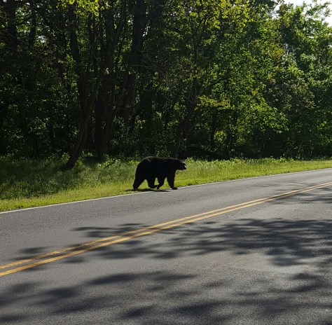
Quick before it starts raining again, let’s go hiking!  I was all set to meet my hiking gals at the north end of the Dickey Ridge Trail (just outside of Shenandoah NP).  Arriving a bit early, I busied myself with pulling on my boots, putting stuff in my pack, then leaned back in my seat to wait. BearSpray and Lola had pulled up behind me and parked. I happened to look up and “Oh, A BEAR!!!”  I waved frantically at BearSpray hoping she see the bear too! She only caught the tail end of it as it lumbered into the woods.  😦

img_20160515_094335.jpg

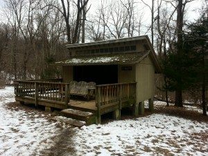
Welcome to the park!

WELL, I have to tell you that got my hopes up very, very high for seeing another bear on our hike!

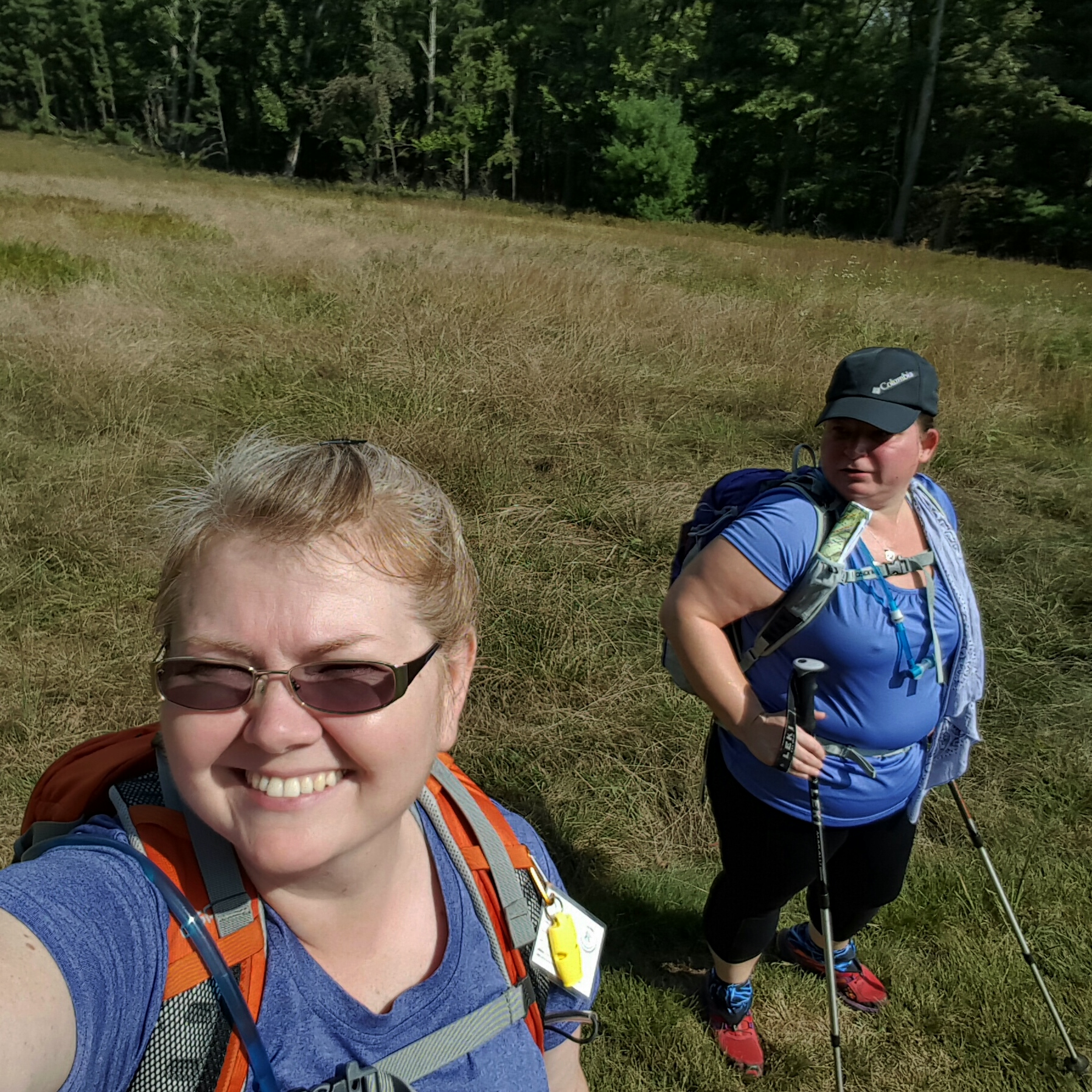
When the full crew had arrived we shuttled to the south end of the trail at Compton Gap.  It was colder and windier than some of us had anticipated…fur lined gloves anyone?

img_20160521_120401.jpg

The badass Fashionista! and that little crocheted knapsack…adorbs!

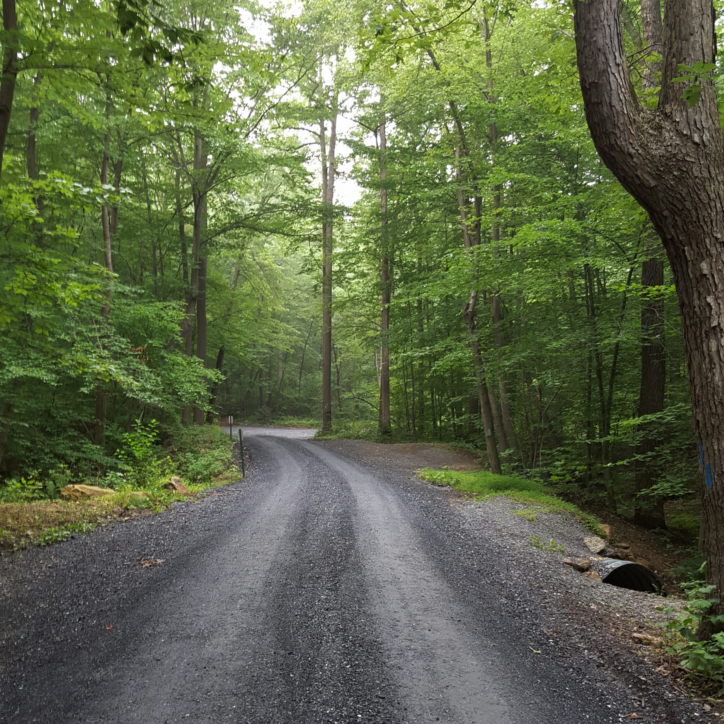
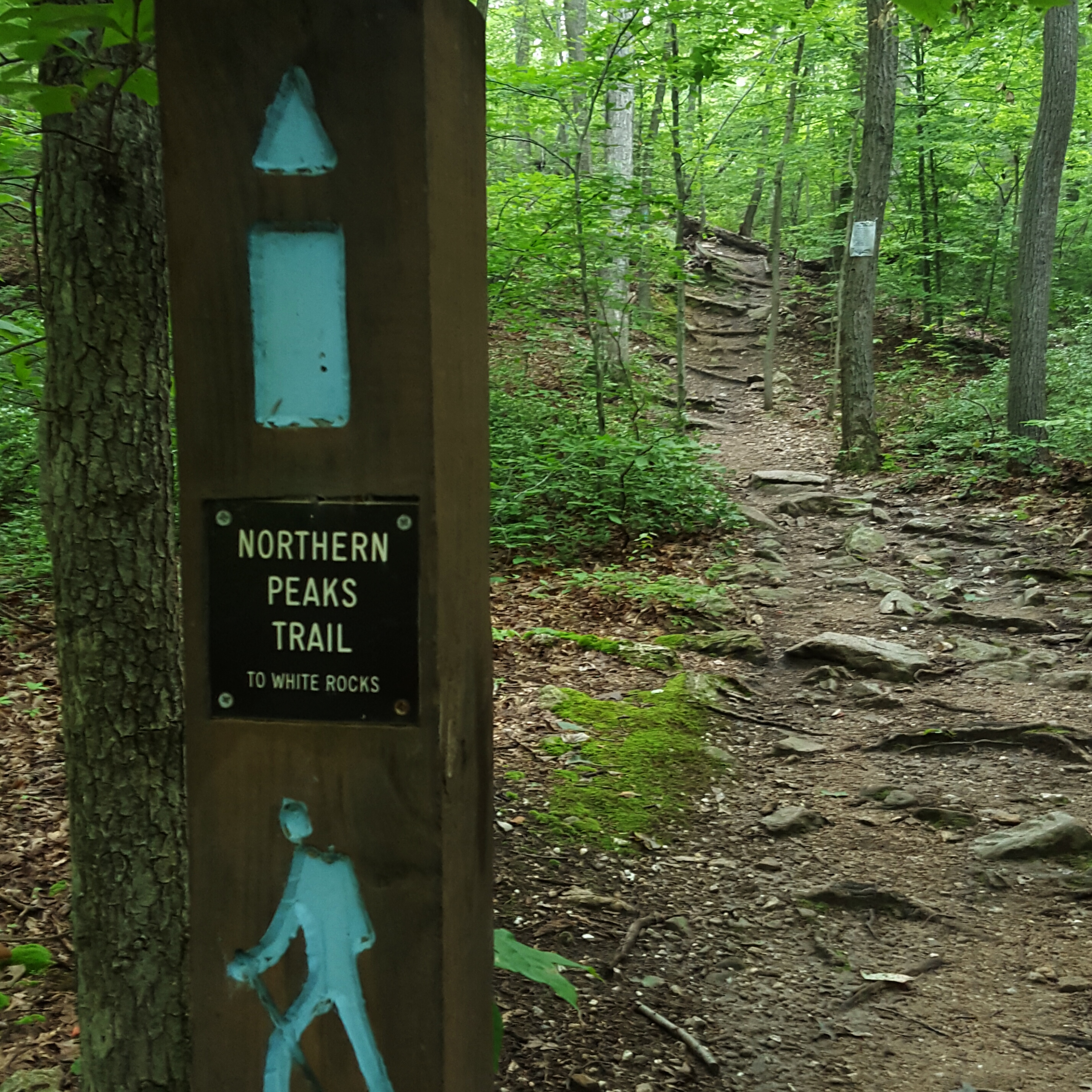
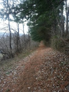
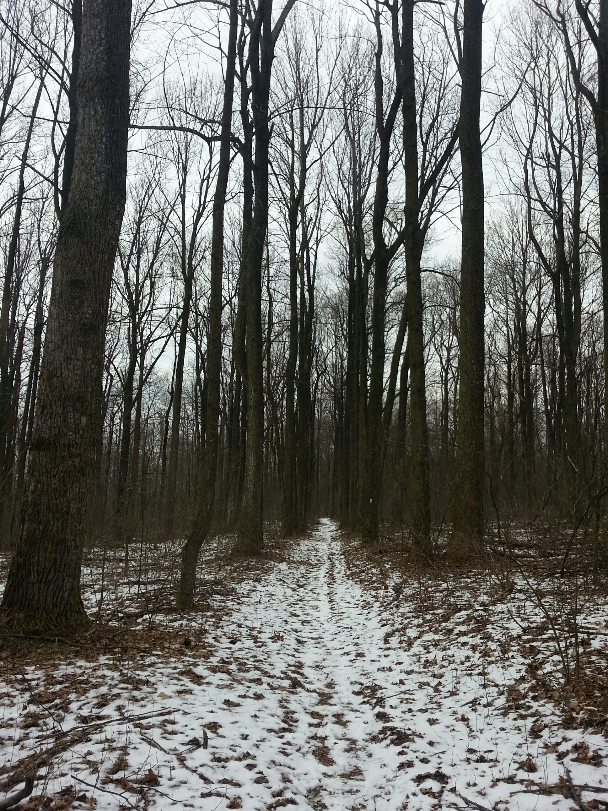
So off we went into the woods, following a fire road to the beginning of the Dickey Ridge Trail!

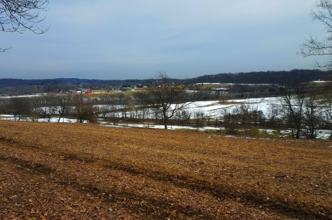
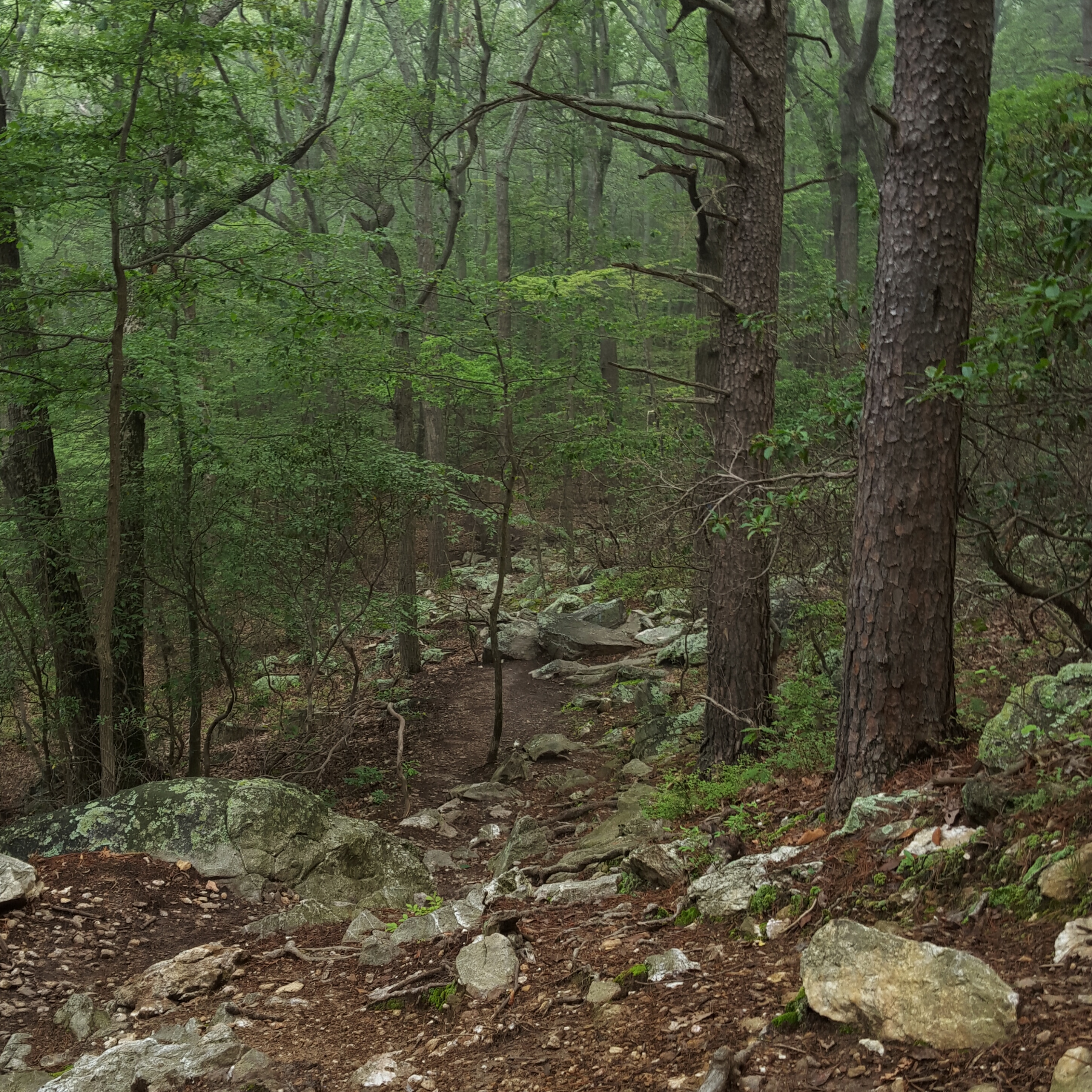
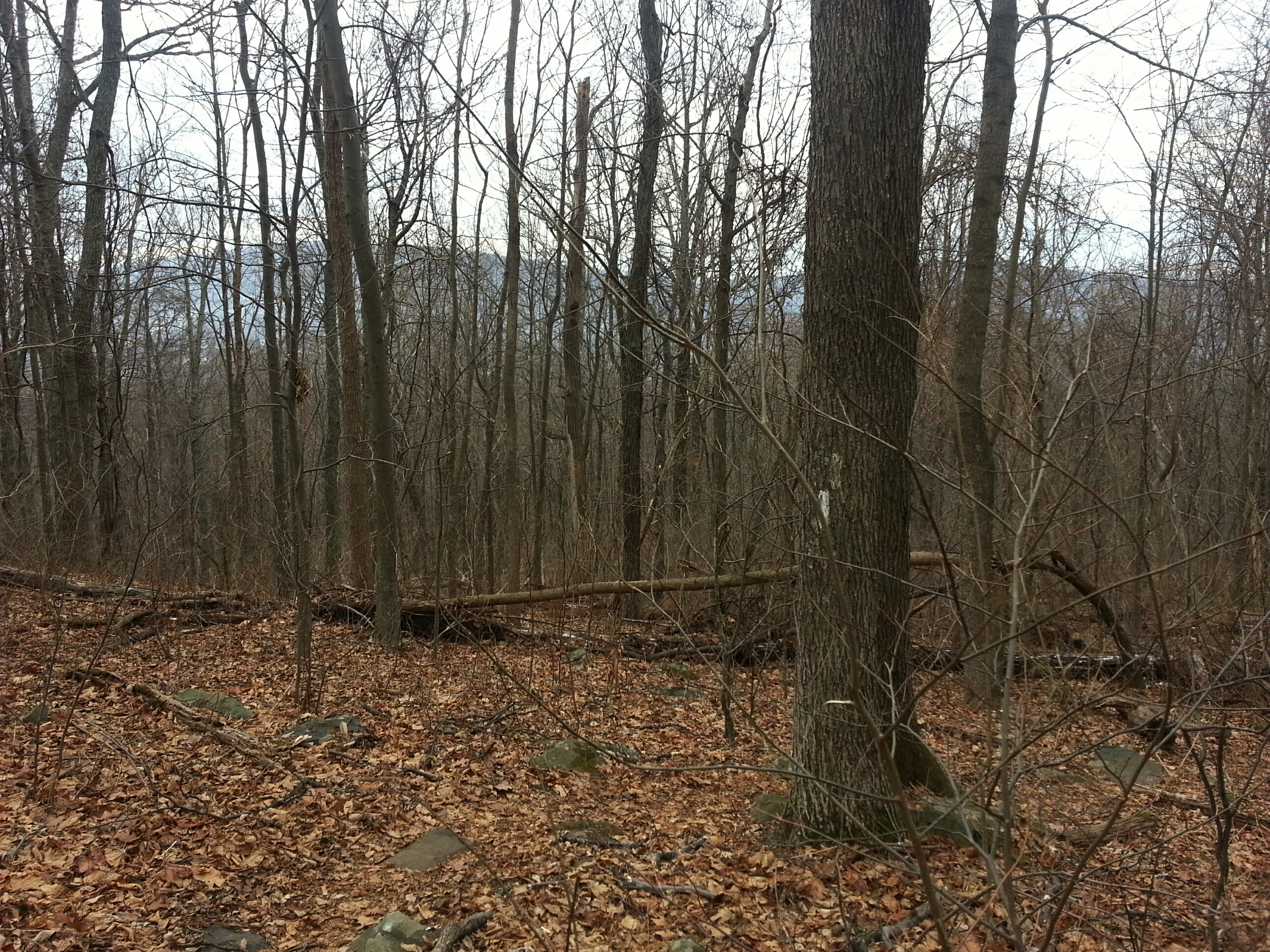
I was hoping for wildflowers…and a view or two.  Turns out the first mile was just trail and woods, a few common purple flowers, and wind.  But so beautiful! The green in the forest was so fresh, and the blue of the sky was sublime.  I kept optimistic!  Spring had come late to my neck of the woods in Maryland, so I knew there was a chance I wouldn’t see much spring in the mountains.  But still, it’s Mid May!!!

I was rewarded intermittently.  Walk for awhile, then ooooo ahhhhhh, click click with the camera phone, move on!


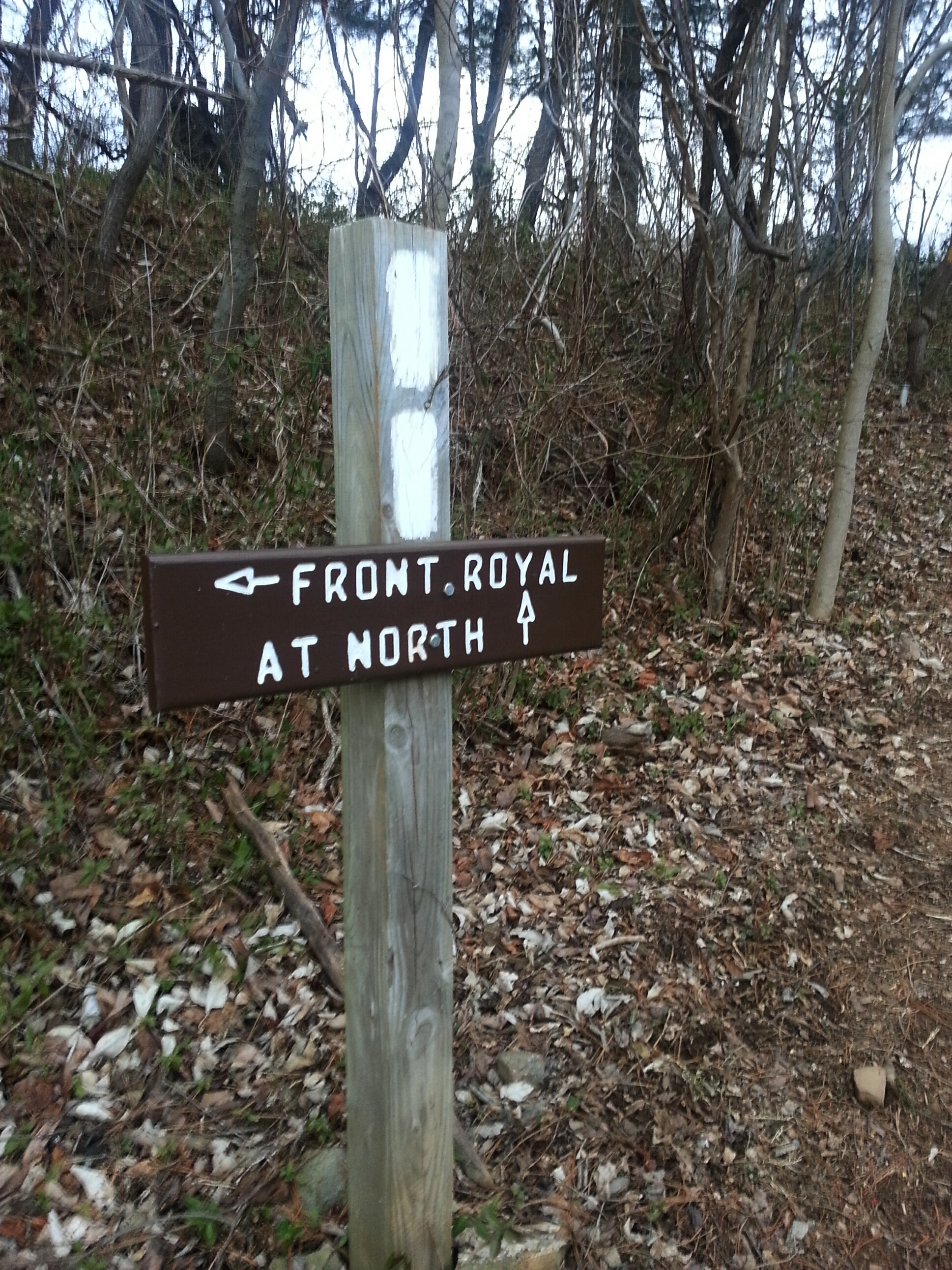
Coming down into Low Gap, another trail crossed ours.  There was no sign post, and we stopped for a minute wondering whether there might be a view if we took the trail to the left.   We opted to move forward on the Dickey Ridge crossing Skyline Drive and up the next hill.  I am still thinking about that trail to the left, though.  I feel like someone had mentioned that trail to me before…but it’s gone now.  Note to self to go back and explore later!

img_20160521_131107.jpg

S.I. Buttercup on her way down into Low Gap

img_20160515_201353.jpg

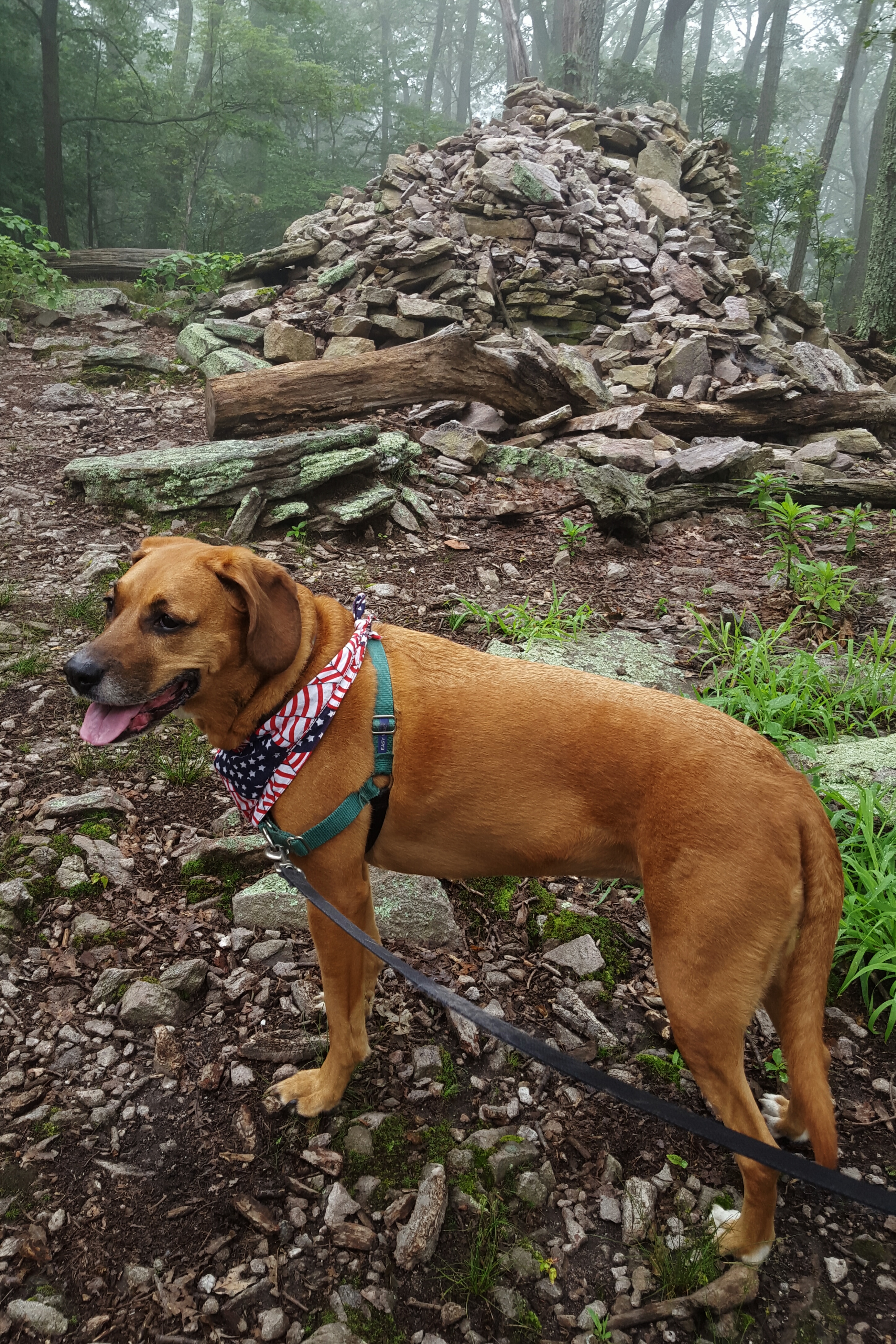
BearSpray keeps watch, while Lola checks the map 🙂

img_20160515_201514.jpg

Up the hill after Low Gap

img_20160515_204937.jpg

Smirk of Satisfaction after making to the top!

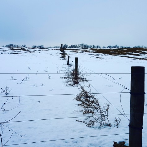
The wind blew us openings in the trees now and then allowing us to view the valley below us.  Beautiful! A winter hike would afford some amazing vistas from this trail!

After several miles, we were wondering whether we would get an open view at all.  After passing the Snead Farm Loop trail, there was a side trail that went steeply up.  It looked promising so Buttercup and I made our way up and…nothing.  Well, not nothing.  We saw this building.  Later I found out this was an FAA site (from the map).

img_20160515_205138.jpg

FAA site on Dickey Hill

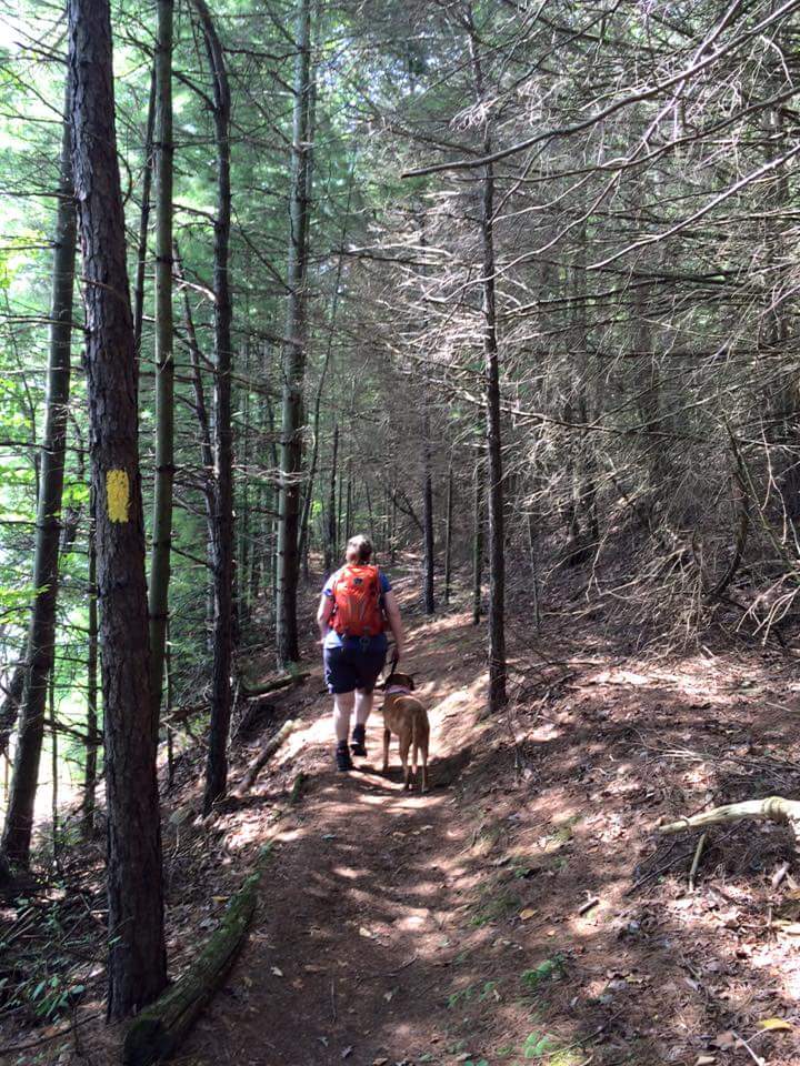
Buttercup headed back down, then so did I …but then started yelling down to her “to the right, to the right!!!!!! Buttercup, to the right!” Yessssss! A payoff after walking through the enchanted green forest!

img_20160515_205506.jpg

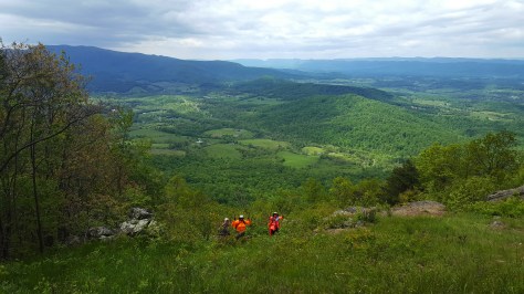
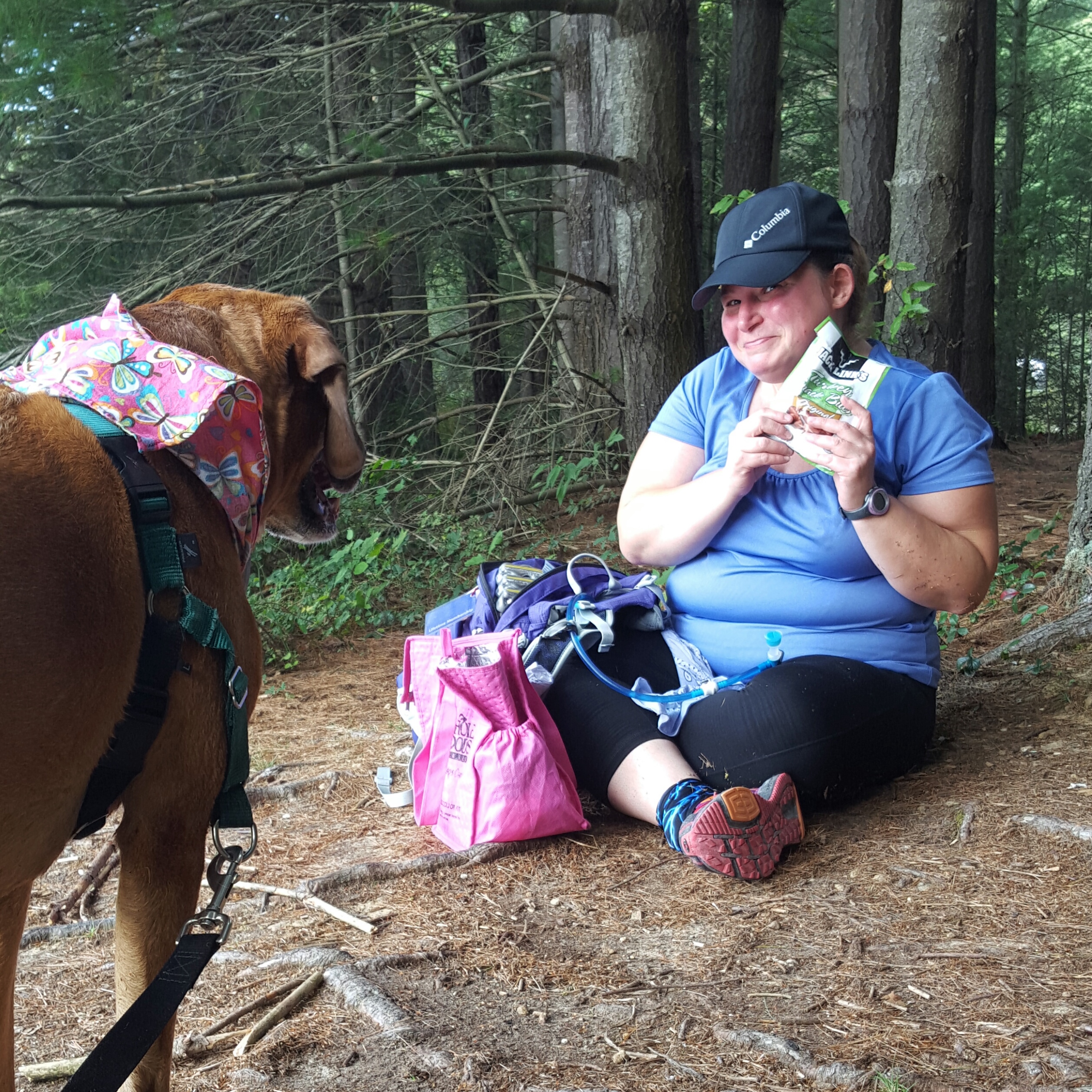
Looking down on BearSpray from our perch above! Lunch spot!

We were enraptured.  Buttercup and I sat up on the hill, withstanding the cold wind while we ate our lunch, completely mesmerized with the view.  BearSpray eventually came up to join us from below and was equally blown away (with wind and view)!

This spot is only about a mile and a half south of the Dickey Ridge Visitor Center, so very doable! One does need to climb up the hill, but seriously, worth it.

When we had gotten so cold we couldn’t stand it any longer we got back to trekking down the trail. Next stop the visitor center, then down the hill to our cars.

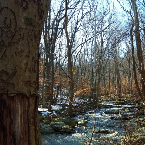
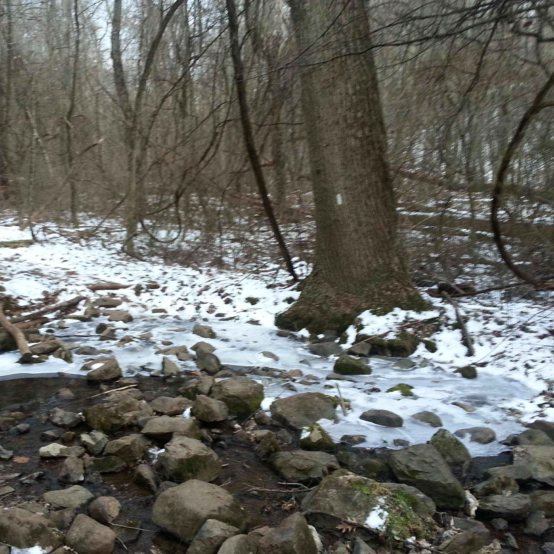
The last mile or so was surprisingly different and wonderful!

img_20160515_210313.jpg

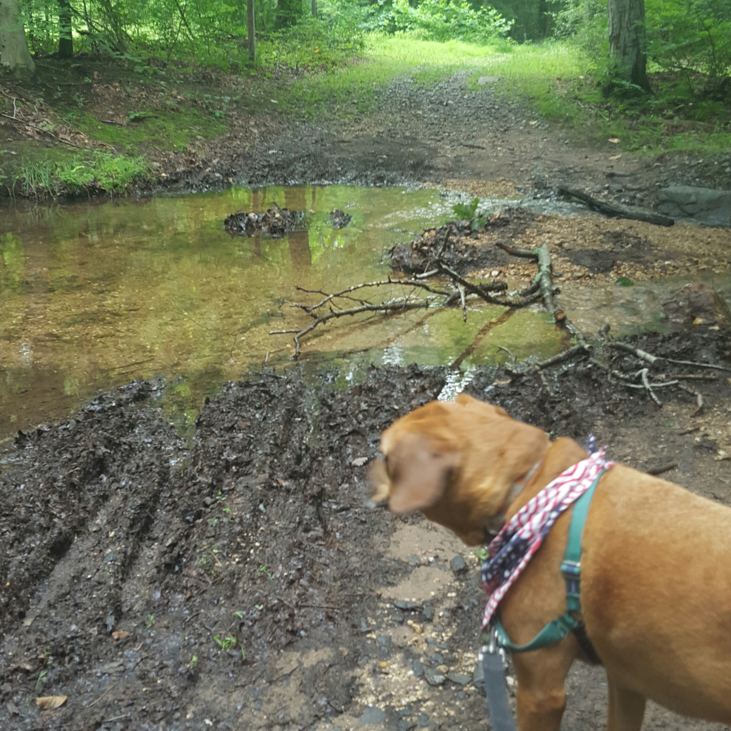
The trail follows a gurgling stream (especially vocal after the rain we’ve had)…happy home for turtles.

The birds were singing, families were out exploring, and there was a feeling of absolute contentment along this stretch.  I felt I was being replenished after going up and down all those hills. 🙂

img_20160515_210411.jpg

The end of a wonderful trek in Shenandoah NP!

Sadly, no more bear sightings on today’s hike…but there is always next time! Hike on! 🙂


C&Ohhhhh Crap! My Feet Hurt! Canal

A couple of years ago I was hiking on the C&O Canal up by Shepherdstown, WV when I crossed paths with a woman who had hiked up from Harper’s Ferry.  I had never thought about hiking to Shepherdstown from Harper’s Ferry.  Since then I hadn’t really ever stopped thinking about it.  I mean, it would be really neat to walk to Shepherdstown and have a great lunch, wouldn’t it?  Well, wouldn’t it??? I finally got the chance to find out! And a few hiking pals willingly agreed to come along. 🙂

We met at the C&O Canal across the river from Shepherdstown, then shuttled to Harper’s Ferry.  Thanks to hiker pal Thelma we were sporting a national park pass and did not have to pay to park at the train station in Harper’s Ferry!  This was a good sign, as were the sunny skies, warm sun and bathrooms in the train station. 🙂

image

We left our hiking poles in the car, joking about how tough this flat hike would be.  Queen V commented on the “strenuous” elevation gain as we walked up the ramp to the railroad bridge that crosses the river to the canal.  Crossing the railroad bridge, we descended the spiral staircase down to the canal and headed north to Shepherdstown.
image

Chatting lightheartedly, we walked briskly and the miles flew by.  At the first campground hiker pal L promptly tried out a “chair” she found.  Dargans Bend at mile 64.9 called us in for a quick break and stretch, then we were off again! Still all smiles!
image
image

The Potomac River was moving fast in the other direction. Small white capped waves bullied their way south, made ever stronger by the recent heavy rains and melting snow. As beautiful as the river was, after so many miles, it made me feel as if on a treadmill.  Walking, ever walking, were we getting closer?  Except for the small brown mile markers that counted  down the miles, there was no way of knowing.

image

Thanks to Thelma for this pic!


Near mile marker 65 Queen V and I explored some old limestone kilns and soon after I was pulled off the towpath once again to explore a cave with Anna Marie!
image

Then we stomped on to Antietam Creek campground.  Arriving at the campground, it was time to sit down and get off our feet!  That flat walking was taking its toll on all of us.  While we sat there at the campground I kind of drifted off into thoughts like, “I should’ve brought another pair of socks…I hope these sore spots on my feet aren’t blisters…shin splints? No not even thinking about that.” then I looked to the blue, blue sky and caught a glimpse of … is that a…yes, oh, then out loud I exclaimed “hey look!!! an Eagle!!”
image

It soared majestically overhead, circling higher and higher, then moved on regardless of how hard we willed it to come and roost in the trees nearby.
image

It was now time for us to move on as well, not too much more now!  We can do this! We passed mile marker 71, then 72.  Wait, wasn’t that supposed to be the last one!  We had come almost 13 miles.  My steps were slow now.  Just one foot in front of the other.  It was getting harder. My legs were stiff, and the threat of shin splints was ever greater.  No, no, no! That will not happen!  I took my head out of the pain and focused on the cold beer and taco salad that would be waiting for me in Shepherdstown.
image

It worked…I slogged that last mile with dignity (as excruciating as it was to lift each foot and put it down on that blasted hard packed gravel covered canal). Arriving at the car I was definitely ready for comfort and cursed my lack of forethought in leaving my flip flops back in Harper’s Ferry.  I fell into Queen V’s brand new car, feeling slightly guilty at leaving mud on the passenger side floor mat.  But then we were moving.  Oh the pleasure of a car after a long, long, walk!

Hike on!

Breaking Out of the February Funk!

Even though February is the shortest month, it certainly seems to last forever. As I wait for the daffodils to arrive, however, a gift arrived! A gift only Mother Nature could give to us winter weary Marylanders.  (seriously, our winter has been incredibly mild except for that outburst of sheer crazy a few weeks ago, so I don’t really know why it feels like we need to rush on to Spring …but it does!!)  Anyway, a gift! A weekend that tempted us with delightfully spring like weather.  The birds were singing, the ice was melting, rivers flooding, and I ran for the hills.

I jumped the gun a bit and headed out on Friday when the weather only hinted at warmth that would not come until Saturday.  The smell of fresh mud permeated my nostrils as soon as Sidekick Pauli and I exited the car at Worthington Farm, part of Monocacy National Battlefield.  However, heading up Brooks Hill we found snow and ice.  Not enough for traction devices on my boots, but enough to require picking our way along at a snail’s pace until we got about half way up the hill.  Then the trail was dry!

img_20160219_142523.jpg

View of Baker Valley from Brooks Hill

img_20160219_142004.jpg

Bottom of the Hill…Again with the snow!

Of course, we again encountered the tricky stuff on the way down, but the day was just gorgeous.  You know when the breezes are not quite as chilling and almost feel warm?  That is how it was!  We would be chilly, then rounding a bend in the trail meet with a warmish puff of air.  Very exciting!  After coming down Brooks Hill, we rounded Ford’s Loop by the Monocacy river.  Super gooey, suck your boots off muddy!  The river had just recently receded into its proper banks and left debris and mud on the trail.  A sure sign of Spring!!!

img_20160219_142028.jpg

Sidekick Pauli surveying the flood plain

img_20160219_143119.jpg

Still high water! Sidekick Pauli was not pleased…this is where her beach usually is!

So that was fun.  Saturday came the real delight though! 65 degrees!!!!!! Wazooo!  Oh my gawd, let’s all go hiking!!!  I had errands in the morning, so I set off for Cunningham Falls State Park at about 2:30 pm.  Parking my car at the Catoctin Furnace on the east side of route 15, Sidekick Pauli and I followed the Catoctin Furnace Trail through the woods and over the pedestrian bridge to pick up the Catoctin Trail up to Bob’s Hill overlook.

img_20160220_190106.jpg

Glad I didn’t have to cross Little Hunting Creek today!

This is not a long hike, but a steep one!  After crossing the pedestrian bridge follow the creek to the Catoctin Trail.  It is a right turn up the hill and steep right from the get go!  The trail was slushy, but not terribly difficult to maneuver.  The trail gives hikers nice breaks between the steep sections, leveling out for awhile where one can meander along as if no effort was needed at all to climb to such a height.  Then, of course, just as you get comfortable, the trail heads back up again!

This slideshow requires JavaScript.

This was the perfect place to hike on this Spring preview day!  I only saw a handful of other hikers (and I bet Shenandoah NP was packed!)

But was I done with this weekend???? NOOOOOOOO! Even though it rained off and on come Sunday, I was not going to stay inside.  Okay, well, I was…but then as I came out of Joanne’s Fabrics down on 40, I glanced at the mountains. Their summits were so beautifully draped in fog that I could not resist!  I turned down 40 headed for Gambrill State Park hoping to walk through the woods with the mist swirling about me.

img_20160221_155037.jpg

CCC Memorial in Gambrill State Park

img_20160221_222944.jpg

I was ecstatic, just magical.

What an absolute wonderful gift this weekend has been. Almost March! Hike on!

Blockhouse Point Conservation Area

Blockhouse Point is a great little park in Montgomery County, Maryland.  Sidekick Pauli helped me scout this hike so I could lead a group here.  By the way, those of you who read the last post of mine know that Sidekick Pauli went in for surgery for a lump that grew rather quickly on her neck.  Her surgery went great and they were able to get all cancerous tissue out!!  So it was cancerous, but prognosis is fantastic!  She will probably be scouting hikes with me for a long time to come! 🙂 🙂

I visited Blockhouse Point on three different occasions to get the feel of the place since it was brand new to me.  The first time my son and niece tagged along.  Of course, we were caught up  in conversation and got off on the wrong trail.  We had wanted to loop, but this trail did not do that.  Turns out we had gotten on the last leg of the Muddy Branch Trail! Made a note to look this trail up later for future adventures in MoCo!

img_20160104_123316.jpg

The second time was better planned out and Sidekick Pauli was in tow!  We headed down the Canyon Trail, crossed over to Blockhouse Point Trail, then out to Blockhouse Point.  This was before Sidekick Pauli’s surgery and she was delighted to pull me along the trail smelling all things new and exciting.  I was expecting a little more of an overlook, but the views of the river were tremendously satisfying!  Pauli was a little antsy, so I let her lead us back to the car instead of heading out to the second overlook on the Paw Paw trail.  It looked a bit cloudy and felt like a storm was moving in. Sure enough as soon as we got to the car, the skies opened up!  Thank you, Sidekick Pauli, for keeping me dry!!!

2016-01-10-14.44.51.jpg.jpg

The third visit I practically ran down the trails.  I wanted to scout out the Paw Paw overlook.  I am so glad I did.  It is definitely the nicer overlook.  Expansive views of the river to the northwest.  Very understandable why this point was used in the Civil War.  Another neat feature is the C&O Canal is just below the bluffs, so you can “spy” bicyclists, walkers, and horse riders all day if you like while you sit high above on the rocks.  haha!

img_20160122_152348.jpg

20160206_104204.jpg

20160206_094841.jpg

I do need to advise that the Turkey Fan Trail has been rerouted.  This caused me a little confusion the first time out there… not hard to figure out…just weird trying to put together where exactly you are on the Blockhouse Point Trail if you have never been to the area.  So a heads up!

Also, I’ve heard there is a way to do a big loop by following an unmarked trail behind Calithea Horse Farm, then pick up the C&O Canal.   Walking south on the canal to Pennyfield Lock, then up the Muddy Branch Greenway Trail.  Hmmm…more trails to explore!

And while I do like winter…I think I will wait for Spring! Hike on!


Living it Up on the Loudoun Heights Trail

Mid-Week hikes are a luxury.  While the rest of the world shuffles off to work, the Maryland Trail Dames were getting ready to cross the 340 bridge by pulling our gloves, hats, and layers into place.  The crossing of the bridge would be the killer with traffic whizzing past blasting us with cold air and fumes.  A necessary evil in order to start climbing Loudoun Heights on the other side of the Shenandoah River.  At 10 am Wednesday morning it was bitter cold, yet bright and sunny, so we anticipated shedding some of those layers as we climbed almost 1000 feet to ridge!

The parking lot is a fee area, so pay the $10 bucks to support the NPS.  The pass is good for three days, so after I finish this post I might head back for another hike in the area! 🙂

20160106_143943.jpg

340 Bridge over the Shenandoah River looking towards West Virginia side

Once we crossed the bridge, we climbed the AT up, up, and up and as AnnaMarie would say “Suck it up, Buttercup”!  As expected a few layers came off!  Thelma, a fellow Trail Dame, suggested we take the orange trail first, then loop back on the blue trail.  Great suggestion!  The orange trail was extremely pleasant! It was a nice change from constantly going up.  It is level and well marked which allowed us to make good time with little effort!

In the summer, this hike would have only the views marked on the map…two at power lines, then another at Split Rock.  But in winter? Ahhhh…all the views you could want!  No leaves make mountain hikes even more glorious.

20160106_112545.jpg

Holy crap! I think my lips are purple! 🙂

The path became more rolling once we met up with the blue trail.  We went to the left, headed for Split Rock.  It all seems so easy…because the trail is going down to Split Rock.  The view here though is worth it!  and the women on the trail with me were so funny!

“Suck it up, Buttercup!”  became a repeated joke as we met each hill with gusto.  At each overlook we had a micromanager or two when it came to picture time…after being asked to tilt the camera this way and that way, and move to the right, then to the left I busted out laughing…”What is your job anyway???” Snorts of laughter permeated the air. 🙂  and don’t even let me start with the selfie stick…oh jees’…It was a good thing no one else was on the trail!

2016-01-06-15.58.09.jpg.jpg

Looking across at Maryland Heights

20160106_122928.jpg

View of Harper’s Ferry from Split Rock

img_20160107_084114.jpg

Like a Model Train Set!

After lunch at Split Rock, we climbed up to the ridge once more.  There were some sweaty faces in that last push to the ridge!  Then it was easy, a little rocky, but easy sailing on the blue trail and a quick trip down the AT back to the 340 bridge.

20160106_135420.jpg

Looking calm, cool, and collected…like they hadn’t even exerted themselves. 🙂

In the whole time we were on the mountain, we did not see any other hikers! So if one is looking for solitude on this hike, go on a weekday.  I have heard that on the weekends it can be crowded at Split Rock.  I totally get that because it is such a great place!

We finished at 2:30 and the sun never really made it over the ridge.  Still seemed like morning with the long shadows filling the valley.

Off to more chilly adventures! Hike On!


AT-PA Rt. 501 to Swatara Gap Rt. 72

The last section of Pennsylvania!!! Woot!

It wasn’t clear whether I was going to be able to get this state done before the end of the year.  I was determined, however, and put an all out call to any of my Facebook friends who might want to do this last 12 miles with me…and one of them said YES!!!!

My friend, Lola, and I opted outside on Black Friday!  I had to leave pretty early from Frederick, Maryland to get to Swatara Gap by 8:15 am.  I pulled up beside the iron bridge with time to spare…only to notice that there are new signs declaring cars will be towed.  Well, this is new to me.  The last time I was here it was okay to park on the side of Rt. 72…NO MORE!  So when Lola cruised in behind me a few minutes later we backtracked, going around to the back of the creek, on the old State Road, in order to park in the “real” parking lot.  Just an fyi folks…no parking on Rt. 72 anymore! (maybe it was always illegal…but lots of people did it, including me, and never got a ticket or anything)

img_20151127_192248.jpg

Ready to go! Last section of PA underway!

With one car properly parked, we headed to 501 to begin the last section of PA for me!!! This day was meant to be.  Warm temps, blue skies, …Black Friday?  Felt like an early spring day!

img_20151127_192513.jpg

We were greeted with a fantastic view just south of 501.  After that it was pretty decent hiking (with the understanding that it is Pennsylvania and there are the regular amount of rocks along the way).

A nice sunny spot was waiting for me at the William Penn Shelter.  I took the opportunity to soak up the sun while chomping on a crisp apple…oh the delights of fall.  “What the heck?…Oh, my phone.”  It was in my right pocket and digging into my hip in a way that was none too comfortable, so I rolled to my left hip and yanked it out.  Apparently, my chapstick felt the need to also exit my pocket in a leap for freedom and promptly fell through a crack in the floor of the shelter to the ground below.   The one item I hated to lose.  *sniff*  “Bye-bye chapstick…so sad you are gone.” 😦

img_20151127_193352.jpg

Moving on, the trail resumed the regular rocky until after the old powerline view.   For about a quarter mile there are some bigger rocks which required a bit of rock hopping.  “Come on rocks, dance with me!” I muttered under my breath as I tipped forward, then backwards, on one of the looser specimens.  At this point, I looked to my left and right.  I stopped, calling back to Lola, who was doing a bit of dancing of her own.  “Look at that” I exclaimed, pointing to the woods beside the trail.  “Do you see ANY rocks over there???”  It was a rhetorical question, as there were NO rocks to be seen anywhere EXCEPT where we were walking…teetering…whatever. Oh, Pennsylvania, you amuse me…

img_20151127_193312.jpg

1000 miles going southbound!

It seems my feet have gotten soft since my backpack in PA this summer.  As we approached the steep downhill into Swatara Gap, they were quite vocal in their disapproval of this 12 miles!  When I stepped onto the road, after following the trail underneath I-81, it felt so good! Level ground, no rocks!

Whelp! PA section is complete!

img_20151127_195806.jpg

Yessss!!!! FINALLY FINISHED PENNSYLVANIA!

It wasn’t as hard as I thought it would be, and there are some sections I would love to do again!  I loved this state most for the people who hiked it with me.  Dirigo, Python, Google, CanDo, Queen V, Lola and many other women I met through Trail Dames.  Also, my brother, Albie, who hiked a portion of the trail between Pine Grove Furnace and Caledonia SP with me. He showed me that I could do a 15 mile day! Brothers are awesome!! 🙂 🙂

On to Virginia and softer trails! Hike On! 🙂


Caledonia State Park, PA…Put it on the short list!

Caledonia State Park is quite possibly one of the prettiest state parks near Frederick, Maryland.  The air is scented with pine, the creek bubbles and gurgles as it curls its way through the park, and the towering pine trees leave me with the most serene, peaceful feeling every time I visit.

Labor Day Weekend I was invited up by Queen V.  She was spending the weekend at the park and decided to come out of her tent to hike with me!  I haven’t seen her since the backpack in June and was looking forward to hearing about her hike in Sweden.  One of these days I will go on a hike somewhere in Europe…but until then I depend on my international hiker friends, like Queen V!!

Stopped at the visitor center to pick her up, then headed to the Hosack Run area to pick up the Greenwood Road Trail.  We walked through the woods catching up on the summer and on Queen V’s adventure on the Fjallraven Classic.

BoobOnARock and Queen V take to the trail...oh it's on!

BoobOnARock and Queen V take to the trail…oh it’s on!

We were hiking to the Long Pine Run Reservoir in Michaux State Forest.  September was here and the start of the day had been crisp!  I could feel a hint of autumn in the air!

Queen V is a great person to hike with because it is so easy to carry on a conversation with her as we hike.  I am not much of a talker, but it seemed as if the miles flew by as we gossiped, caught up on each other’s adventures, and generally, just rambled about whatever. 🙂

Lunch by the lake. :)

Lunch by the lake. 🙂

The terrain was perfect for my recovering knee (injured last weekend dodging a bee…).  There were no big step downs, which are still giving me a bit a pain.  But more than that, there are so many pine trees that the trail is pretty soft in spots…love it!  We stopped for lunch in one such spot.  Sinking into the ground we started pulling out our goodies…oh, what’s that? Queen V brought Sidekick Pauli’s favorite…summer sausage!  Lucky, lucky dog!

Oh, it's summer sausage time by the lake! :) :)

Oh, it’s summer sausage time by the lake! 🙂 🙂

Thanks Queen V for the photo! Me & Sidekick Pauli in the Pines

Thanks Queen V for the photo! Me & Sidekick Pauli in the Pines

Rounding the reservoir, we found many places for Sidekick Pauli to get her feet wet. 🙂  My dog is getting older now, 8 years old last May, and while she is not much of a swimmer, she does love to splash!  We rounded back around the lake and took another siesta on the rocks.  Sidekick Pauli made a friend with a very little yorkshire terrier who was just smitten with her. 🙂

Splash!

Splash!

Sidekick Pauli makes a very tiny friend, Rocko

Sidekick Pauli makes a very tiny friend, Rocko

Thank you to Queen V for including me in her Labor Day weekend getaway!  This was awesome!

Grab a good friend and Hike on!

A Shorter Loop at Sugarloaf Mountain, Maryland

Rain, muggy, then rain again! My last week before returning to teach summer classes was less than ideal. While I got out for a few spins around downtown Frederick, I was missing the woods.  Sunday came with the gift of opportunity!  I chose to go to Sugarloaf Mountain!

Sugarloaf is a classic place to go hiking…translation…it can be super crowded and the port-a-potties always smell…

However, there are times when introverts like me can actually enjoy the mountain.  Go early and preferably on a weekday, although super early usually does the trick.  Park behind the mountain on Mt. Ephraim road and head up the Blue or Yellow trails.  It is a gravel road, but well packed down.  In addition, improvements have been made so the creek now flows underneath the road bed!

I was out the door with Sidekick Pauli at 6:30 AM, and after a few stops, was on the trail at 7:20 AM.  There was not a soul around!!! Yessssss!!!!

Mt. Ephraim Road

Mt. Ephraim Road

I parked at the usual spot on Mt. Ephraim road and headed up the Blue trail to White Rocks. The whole area was fogged in leaving the woods with mist hovering in the branches of trees and spider webs glistening with water droplets. Very moody, like something out of a BBC period production.  Too bad it doesn’t come out well in the photos because it was pretty outstanding!

Starting the Blue Trail just off Mt. Ephraim Road

Starting the Blue Trail just off Mt. Ephraim Road

It was also incredibly humid. Cool, but humid! Sidekick Pauli was delighted to find a spring dumping out directly onto the trail.  I was delighted to find a few stepping stones so I could hop over said spring!

Arriving at White Rocks, we found we were still fogged in.  We sat for a few minutes becoming part of the quietness that surrounded us.  When we got going again the birds were beginning to chatter to each other.  Ahhh, can’t beat being out here in the early morning!

No view at White Rock so Sidekick Pauli is searching for...?

No view at White Rock so Sidekick Pauli is searching for…?

wpid-img_20150705_094507.jpg

Foggy Woods

The Blue trail winds down, then up to one of the lesser summits at 1015 feet (Mt. Ephraim road is at 500 feet).  The summit is marked by a big rock pile.  I added a rock to the pile and kept on.

Lesser Summit 1015 feet

Sidekick Pauli at the Lesser Summit of 1015 feet

Coming down the mountain, it looked as if the trail has been rerouted to accommodate new switchbacks! Nice!  Soon after the switchback I spotted a dog barreling down the trail.  “I have a dog.” I called out in a stage voice that hasn’t gotten much use since high school.  The owners, thankfully, were able to call back their dog and get him on a leash. Sidekick Pauli is not fond of people or animals that intrude into her personal space without invitation!  Crisis was averted and we continued down the trail once the dog and its owners passed by.

wpid-img_20150705_100818.jpg

Having limited time and I chose to take the yellow trail back down to Mt. Ephraim Road.  A new trail to explore, a welcome change!  A nice trail too!  Even though this is the “Horse Trail” it was wide and easy to walk.

Great Trail! Just for horses? Looks like cars too.

Great Trail! Just for horses? Looks like cars too.

No obvious pock marks, not a lot of horse poo, but occasionally there was a disgusting, muddy puddle of water.  This was not unexpected after the rain in the area this week!

Yuck, Yuck, Yuck!

Yuck, Yuck, Yuck! Sidekick Pauli…DON’T even THINK about it!

The complete loop, Blue from Mt. Ephraim road to White Rocks, then to the Yellow trail back to Mt Ephraim road, was about four miles.  Long enough to get your mind in the right place, but short enough to not wear you out (just in case you have to go home and help with housework…)!

Grab the dog in your life and hike on! 🙂

Snowy Hike up to Weverton Cliffs, Maryland

Well, an unexpected 12 inches of snow! I was excited! Finally, a snowstorm that didn’t end in the dreaded wintry mix, a snowstorm that exceeded expectation, so off we went to play…WHEEEEEEEEEE!!!! 🙂

I headed down 340 towards Harper’s Ferry, and thought briefly about going down towards Shenandoah National Park…but then Weverton came into site as I rounded a corner.  I pulled off into the commuter lot, grabbed my pack and Sidekick Pauli…we were off!

Yay, someone had broken trail before us! Boooo…the plows had come by piling up the snow at the edge of road next to the trail.  It must have been 4 feet high! I started to climb over the the snow bank and promptly sunk into my knees, lovely way to start a hike.  😉 Sidekick Pauli didn’t seem to mind and jumped like a jack rabbit through the pile up of hard packed snow.

Winter on the  Appalachian Trail up to Weverton Cliffs

Winter on the Appalachian Trail up to Weverton Cliffs

I noticed snowshoe prints alongside the trail…brilliant! I was wearing microspikes and glad of them…but the snowshoes would be a perfect choice for this soft, fluffy stuff.  Sidekick Pauli did well with her four on the floor sticking her nose in the air sniffing her way up the snowy trail.

Steep! and great winter views!

Steep! and great winter views!

This trail has its fair share of rocks and step ups, but not today.  The blue skies and snowy trail made for a lovely walk. Steep as usual, but without the toe stubbing spots and ankle turner opportunities.   The temperatures were also delightfully mild and I actually found myself wishing I hadn’t opted for the heavy weight long underwear!

I posted a pic of the trail sign to Instagram… GroundBird Gear posted back at me stating they had broken trail the day before…in snowshoes!!! Well, now I know who made those prints I was admiring! 🙂

wpid-img_20150308_075213.jpg

We stopped at the top to share a PB&J and some cheese (Sidekick Pauli’s favorite hiking snack). The views were amazing and we had the sunny overlook to ourselves for quite awhile today. Nice!

Sidekick Pauli enjoying a break at Weverton Cliffs, Maryland

Sidekick Pauli enjoying a break at Weverton Cliffs, Maryland

Weverton Cliffs with the Potomac River in the background.  I can see Spring from here!

Weverton Cliffs with the Potomac River in the background. I can see Spring from here!

Hike On-it’s almost Spring! 😀

AT – VA US522 Chester Gap to Jim&Molly Denton Shelter (and back)

Cabin fever, the very quickly approaching Spring semester, and a goal to hike half of the AT through Maryland in one day this summer had me flying down 340 headed for Front Royal, Virginia and the trail head at US522.

I left my house in the dark, hoping to step on the trail at sunrise…I was using this hike to set a baseline for training for my “Half MD” goal this summer.  The shorter winter days meant it might be starting to get dark at 4 PM.  Since I was hiking alone I really didn’t care to be hiking back to my car in the dark!

As it turned out I started hiking at 8 AM.  It was already past dawn, but it was still not completely light outside.  I love to be in the woods in the early morning.  Everything is so quiet, then the birds wake up and chatter at you up and down the trail.

Stepping on the trail just after dawn.

Stepping on the trail just after dawn.

The trail up the mountain sidled up against the National Zoological Park Conservation and Research Center.  Once at the top, the trail pulls away from the Park and cruises nicely along the edge of the mountain before descending to cross a gravel road that headed up into a neighborhood of mountain houses, some of which were quite large!

Stream crossing! Luckily the ice had melted on the rocks...although I did have my spikes in tow!

Not a great pic…but a stream crossing! Luckily the ice had melted on the rocks…although I did have my spikes in tow!

The elevation map made the climb look daunting with a climb of 1000 feet in the first two miles, but it didn’t really seem to register with me on this early morning.  What I did think about, on my way up, was how this morning felt like freedom.  It really did. It had all the promise of the first warm day of spring…adventure without a time limit!  I was just out for a walk, just to see how far I could go.  I was loving it!

Winter view south back to Shenandoah National Park.

Winter view south back to Shenandoah National Park.

After the road crossing, I found a nice log to sit on and take a break.  The temps were rising, but the sun had yet to make to this side of the mountain.  My log seat was quickly freezing my back side, so a quick break it was! Headed on to the shelter for a longer break!

Lunch at the shelter had revived me! It was now 11:45am and I had a choice to make…walk another mile down hill to VA638 or turn around now and walk the 5 miles back to my car.  One more mile downhill would have meant one more mile uphill and a total mileage of 12 miles for today…I was so close to doing it!  But I decided to turn south after leaving the shelter …towards my car…shoot for the 10 miles …take time to enjoy the walk!

Walking back through the snowy woods.

Walking back through the snowy woods.

I had forgotten how good it feels to hike alone.  This hike just left me with such a great feeling of … jees, I cannot describe it…just an amazing amount of control over my life and a great sense of freedom!  Loved it!

Hike on…sometimes with others and sometimes by yourself…hike on!