I’m back Pennsylvania!
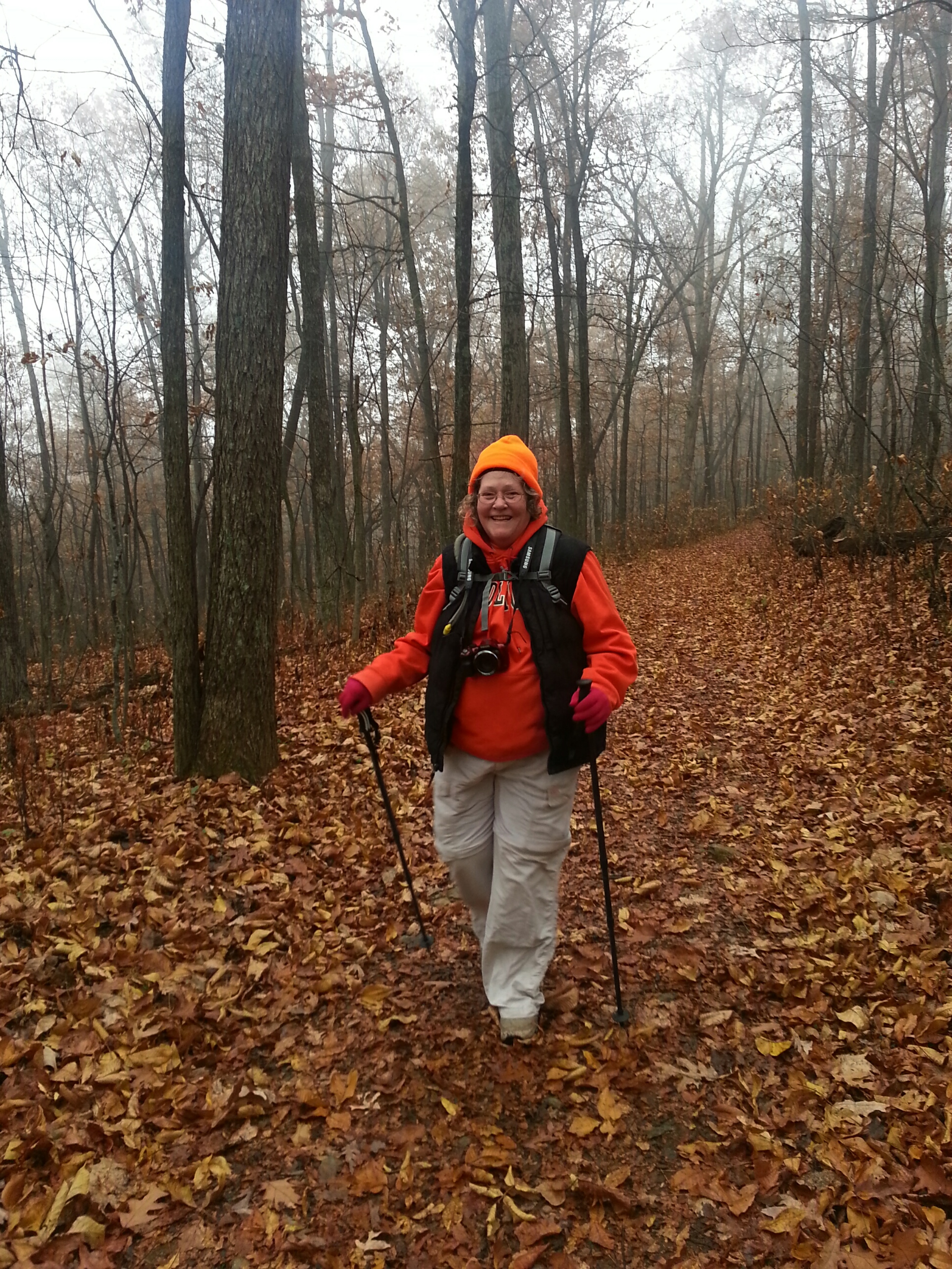
Thank goodness I found a hiking pal in PA! It has been a lot of fun hiking these last couple of sections with Cindy, trail name “CanDo”.
This time around, I got to the parking area off Rt. 61 in Port Clinton with no major drama, just a little rerouting around Harrisburg due to roadwork. It is a nice little lot south of the town and has a blue blaze to the AT. As soon as I got the car backed into a spot (beautifully I might add), a text came in from CanDo. “I’m in the Rt. 61 lot.” Ummm…but I am in the Rt. 61 lot and it was clear she was not. This was soon sorted out…two lots, different sides of the highway. My lot was deemed the nicer choice to leave a car, so CanDo picked me up and we headed down to the Rt. 183 gameland parking lot.
Pulled in, gathered our packs, then headed up the gameland road to get to the AT. It was 8:45 and 15 miles were ahead of us. I like smaller goals, so I set my sights on Eagles Nest Shelter, about 6 miles in.

Intersection of the Gameland Road and AT…right turn and off we go!
A deer jumped to the side of the road flicking his white tail before disappearing for good into the woods. Good morning to you too, little deer!
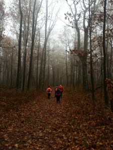
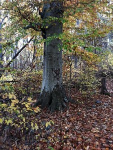
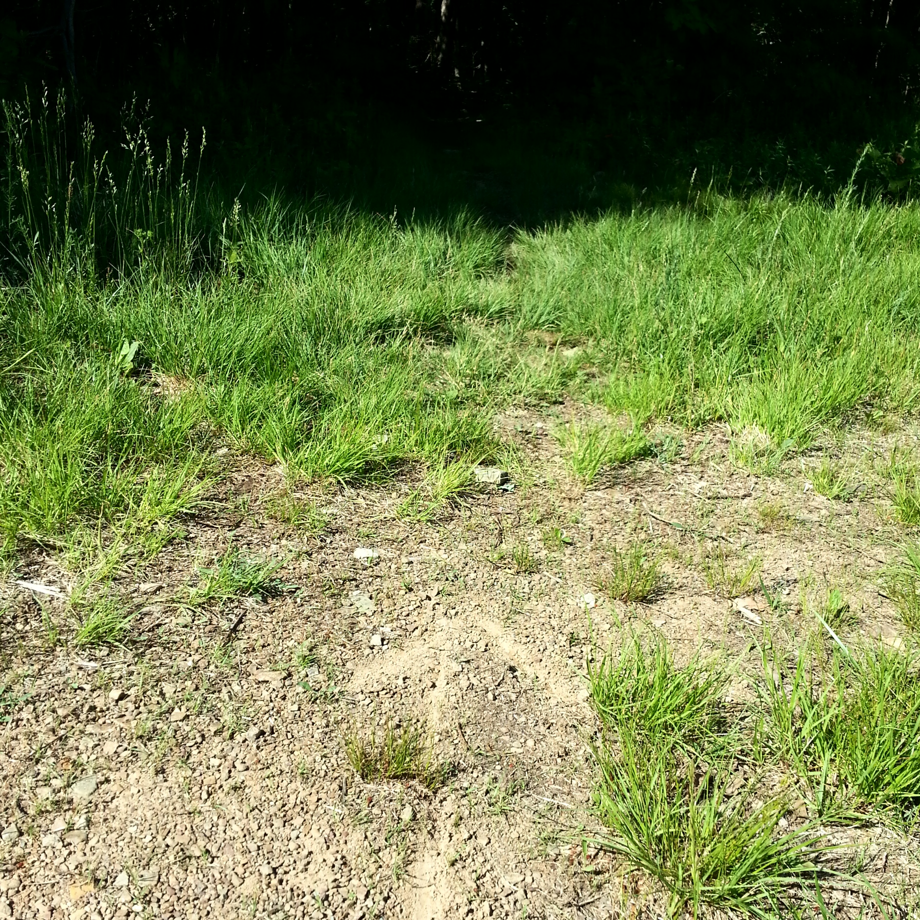
Reaching the intersection with the AT we also disappeared into the woods, taking a right, headed north. There were no climbs initially, just a few rocky spots, so we soon found ourselves passing Black Swatara campsite and spring. The campsite looks to be large enough to serve a group comfortably. Someone has handcrafted a gorgeous sign for the site!
")
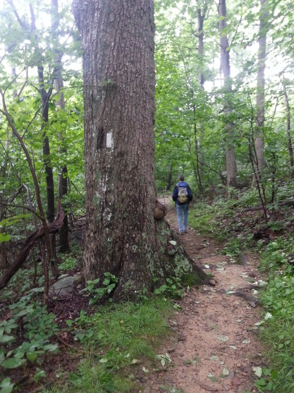
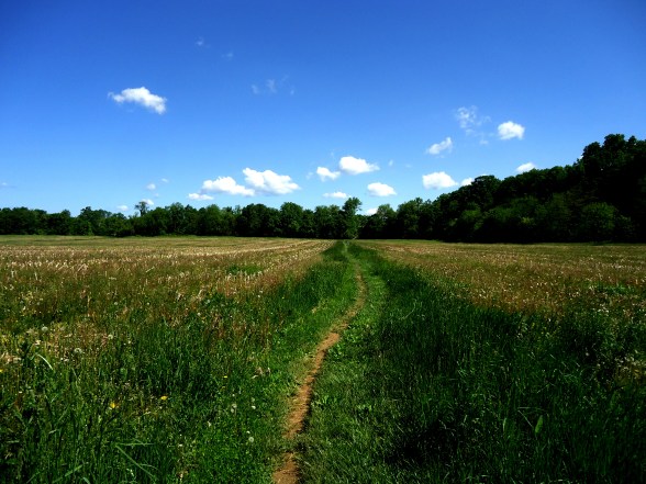
It was a wonderful day for hiking! The rain had finally cleared out leaving us with a morning of cool temps, blue skies and refreshing breezes! The trail was a regular amount of rocky as we stomped on towards Eagles Nest shelter.
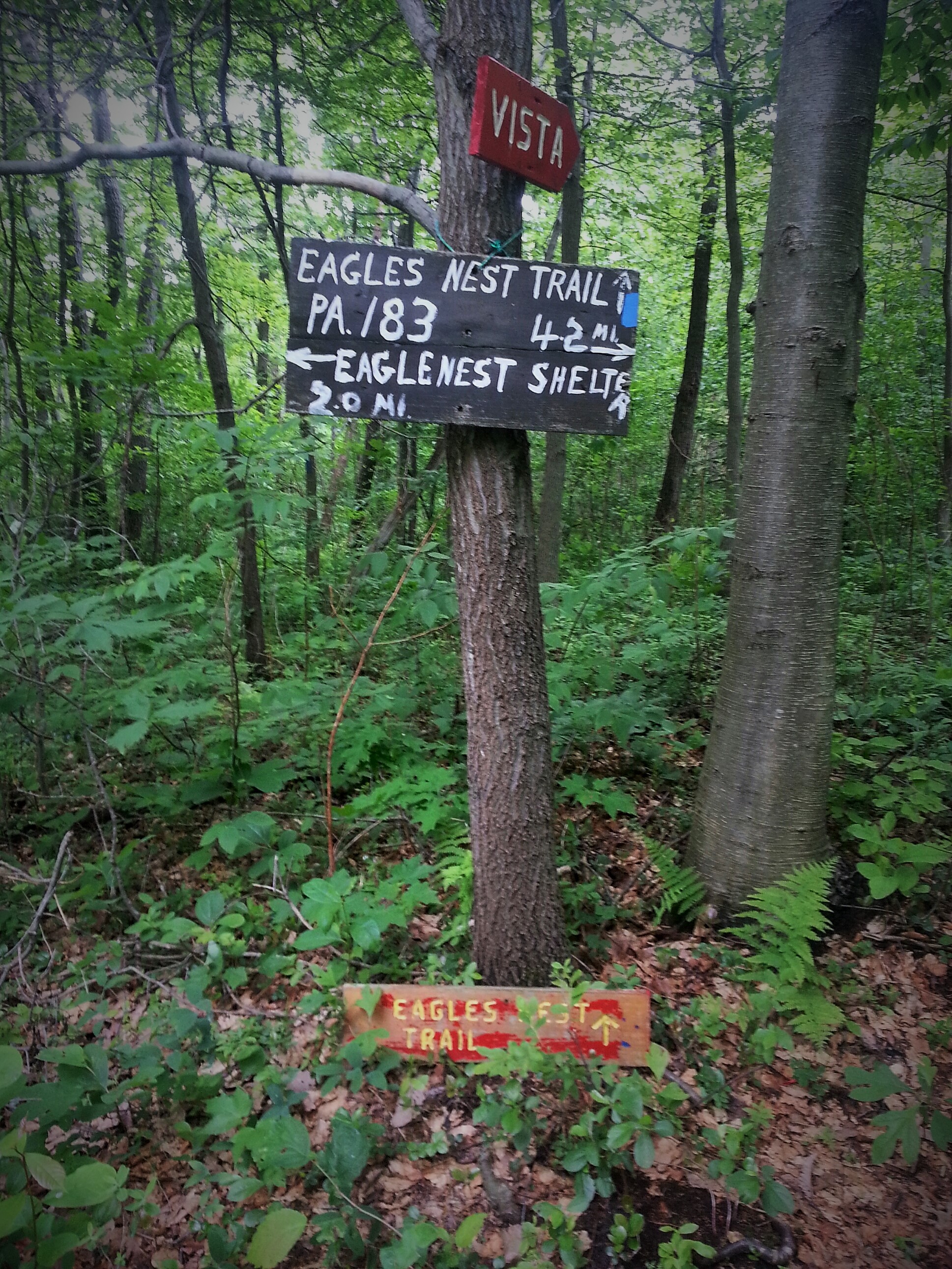
Only another two miles until the shelter!
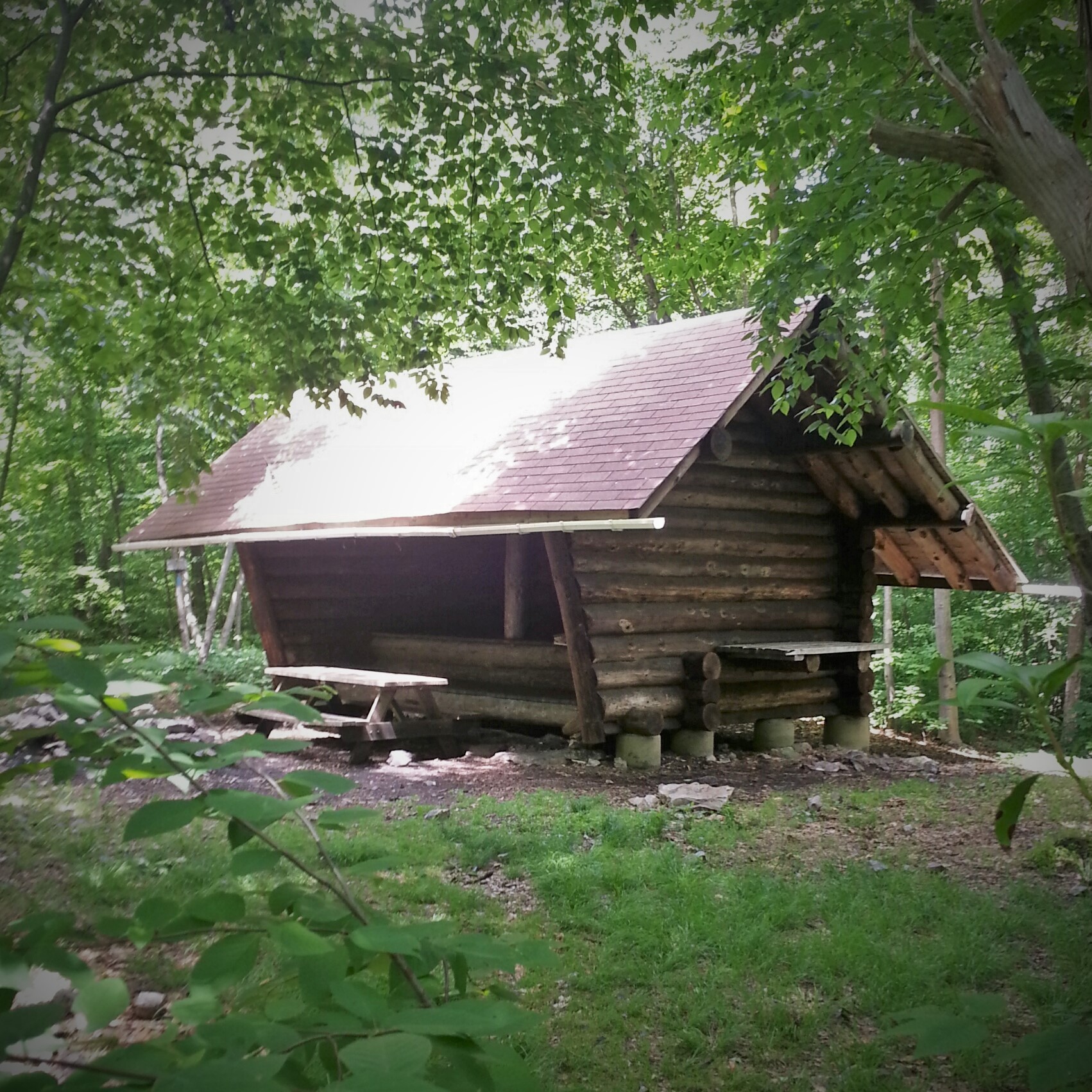
Eagles Nest Shelter has windows and gutters!
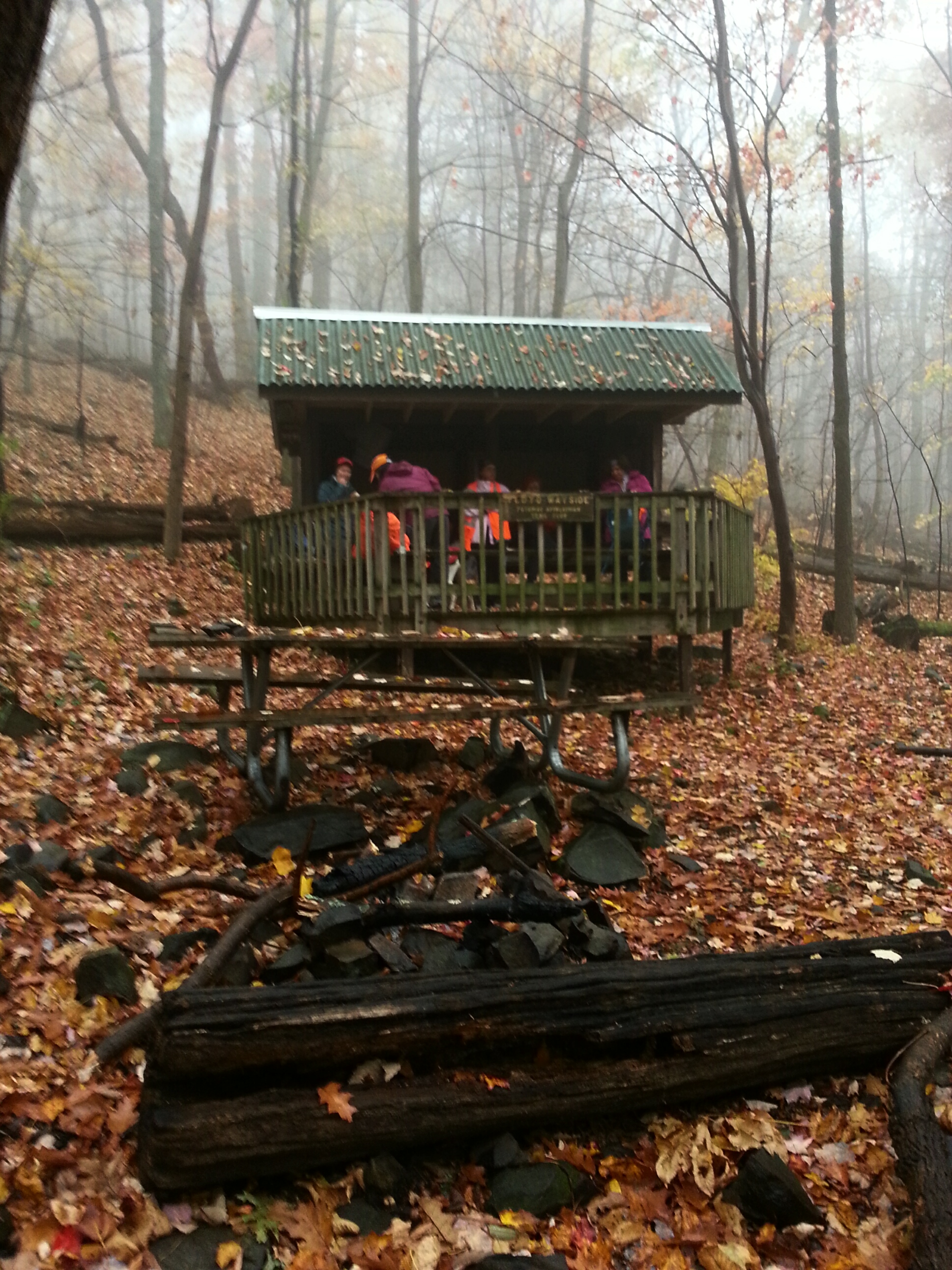
The shelter was 0.3 miles off the trail, which meant we added a little over a half mile to our trip by stopping for lunch there. We opted to pass on another 0.1 mile to see the view since we would get an overlook further down the trail.
What a super respite! We lolligagged for about 45 minutes before heading back to the AT. I took off my boots, laid back on the shelter floor and propped my feet up on the wall. Ahhhh!!!
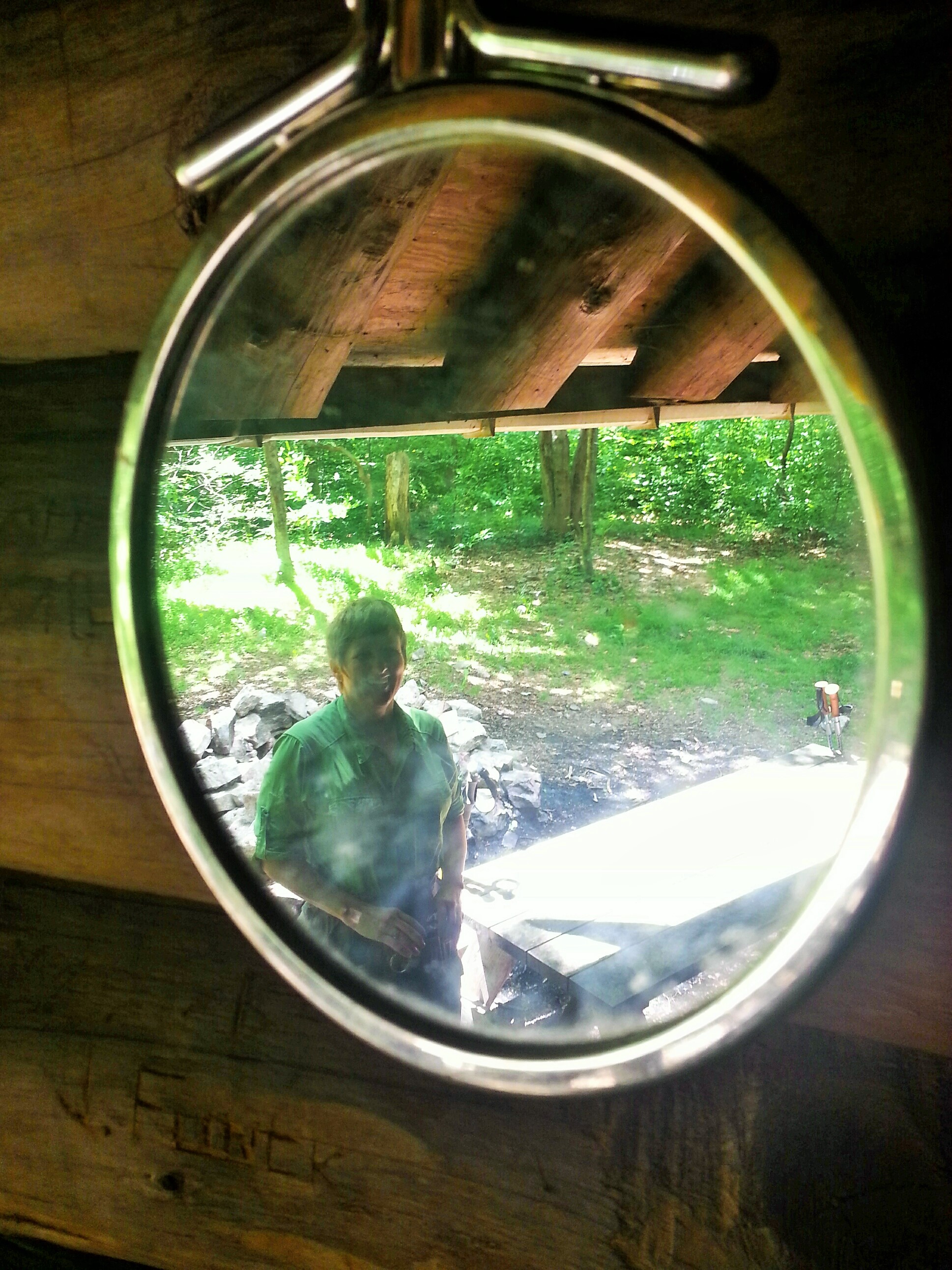
This shelter even has a mirror!
Taking a break fooled my mind into thinking I hadn’t actually hiked this morning. So starting out after lunch was like starting anew on a 9 mile day hike, not the 15 we had originally undertaken. “I got this!” I said to myself.
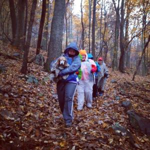
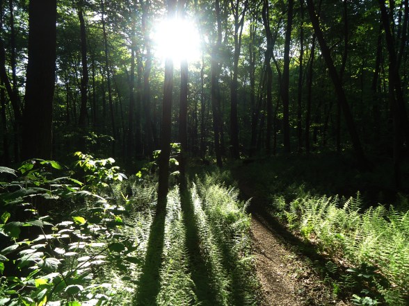
The woods was still carpeted with thick ferns, but now the mountain laurel was beginning to bloom as well. Just gorgeous pockets of mountain laurel blossoms brightened up the darkness of the forest. We walked through admiring all of it!

Another little break along the trail.
The miles were just melting away and I still felt good. The guide book warns of the severe rockiness of the last six miles. I found the guide book to be wrong in this case. There were some spots of heavy duty rock hopping, but most of the trail just seemed like regular old Pennsylvania rocky!

Now this … this is one of the REALLY rocky sections! 🙂

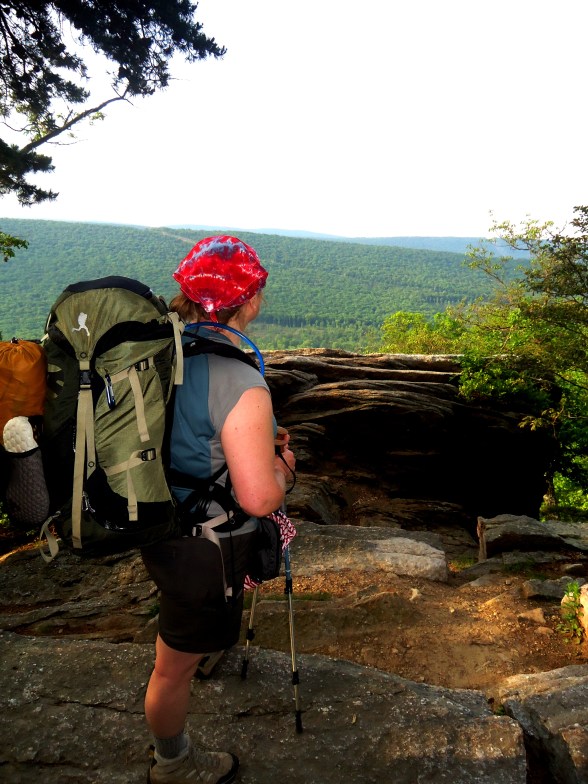
Feeling pretty triumphant at Auburn Overlook.
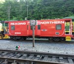
The hardest part for me was the steep downhill into Port Clinton. Slow go there for sure. My knees and thighs were relieved when we were in sight of the bike trail at the bottom of the hill. Then another short down on some very suspect steps and we were at the Port Clinton trail depot. And since we had not had enough walking on rocks all day long…we proceeded to tramp all over the ballast to look at the trains!! Go figure…we are nuts!
Trail comes out to Fire Road, then turns back into the woods…almost missed this arrow!!

Yay! Reached the rail trail!!
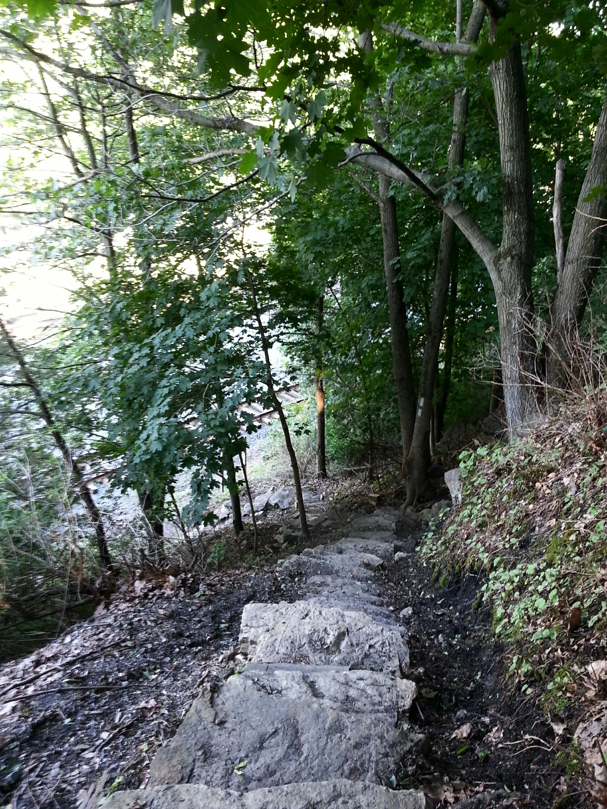
The final assault, I mean descent, to the depot.


As we left the train depot, a guy stops and asks, “hey, you two know about the all you can eat spaghetti dinner?” WHAAAAAAT?!!!!! Oh, this was the best end to a hike ever!

Oh Yeah!!!!!
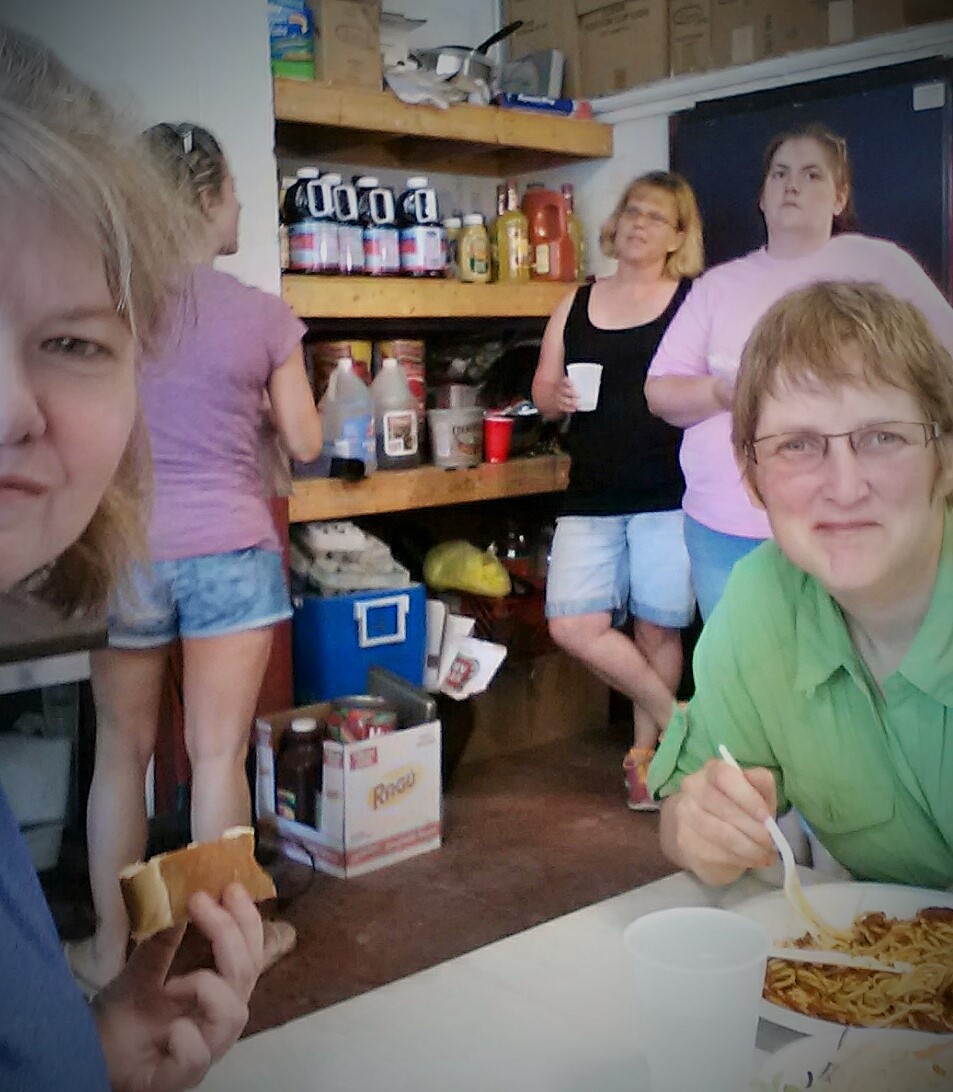
All You Can Eat!!!! Yesss!!!
All You Can Eat Spaghetti Dinner…$8.
Feeling like real hiker trash…priceless!
Hike on! 🙂