Day 1: June 20, 2015
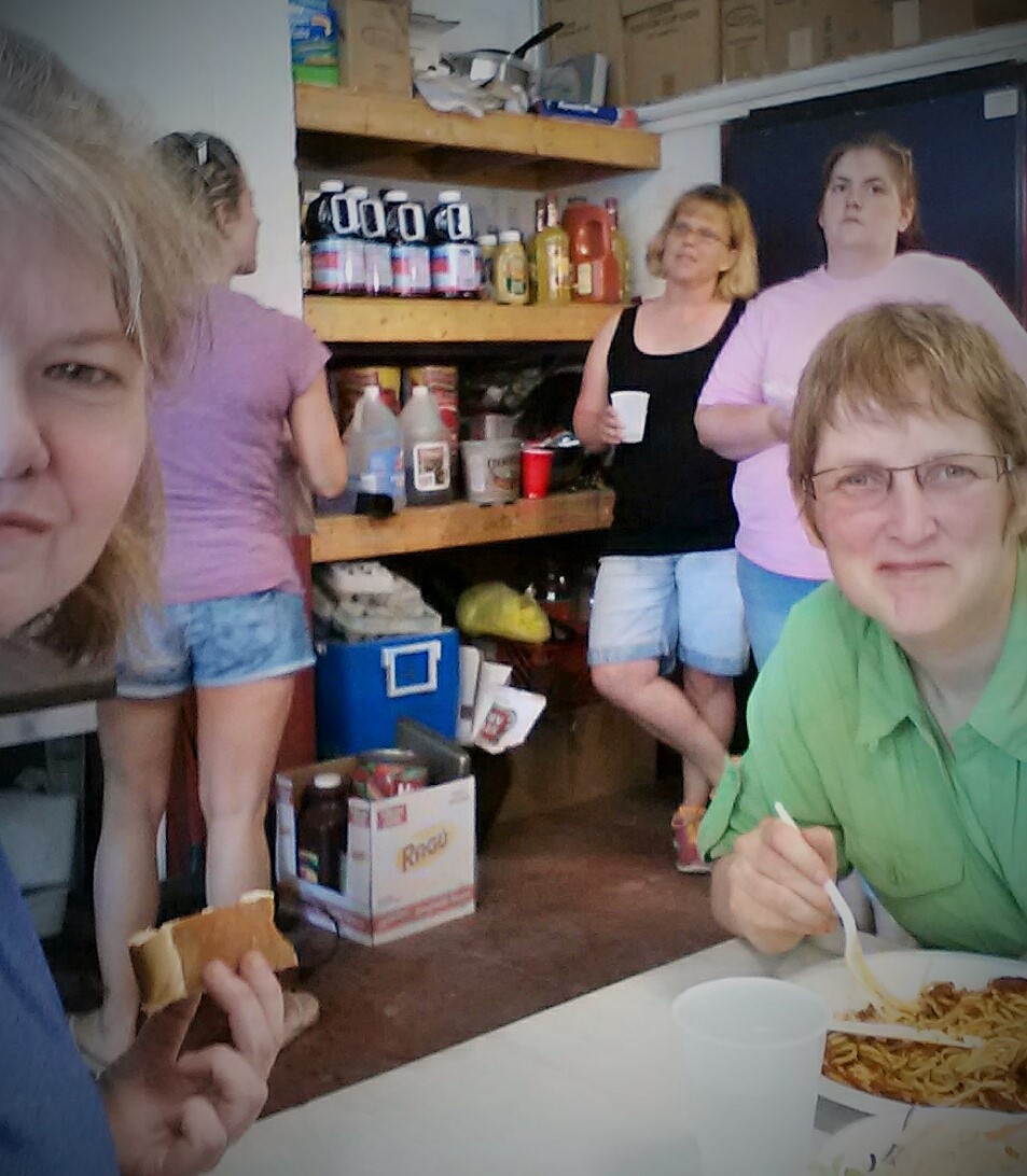
Google, Bag Lady, CanDo and I met up at our hotel on Friday, June 19. We cruised by Cabela’s in Port Clinton since CanDo had a last minute gear issue, then had a great dinner before returning to our hotel for the night.
In the morning, it was raining. Pouring actually. Oh, to start a section hike in the pouring rain would be demoralizing, not to mention just plain crappy. We got in our cars and headed up to Lehigh Gap. We were leaving two cars at the east parking lot in the Gap. After getting each car parked and our gear into Google’s car, we headed back down to Port Clinton.
Then, glorious divine intervention! The rain stopped!
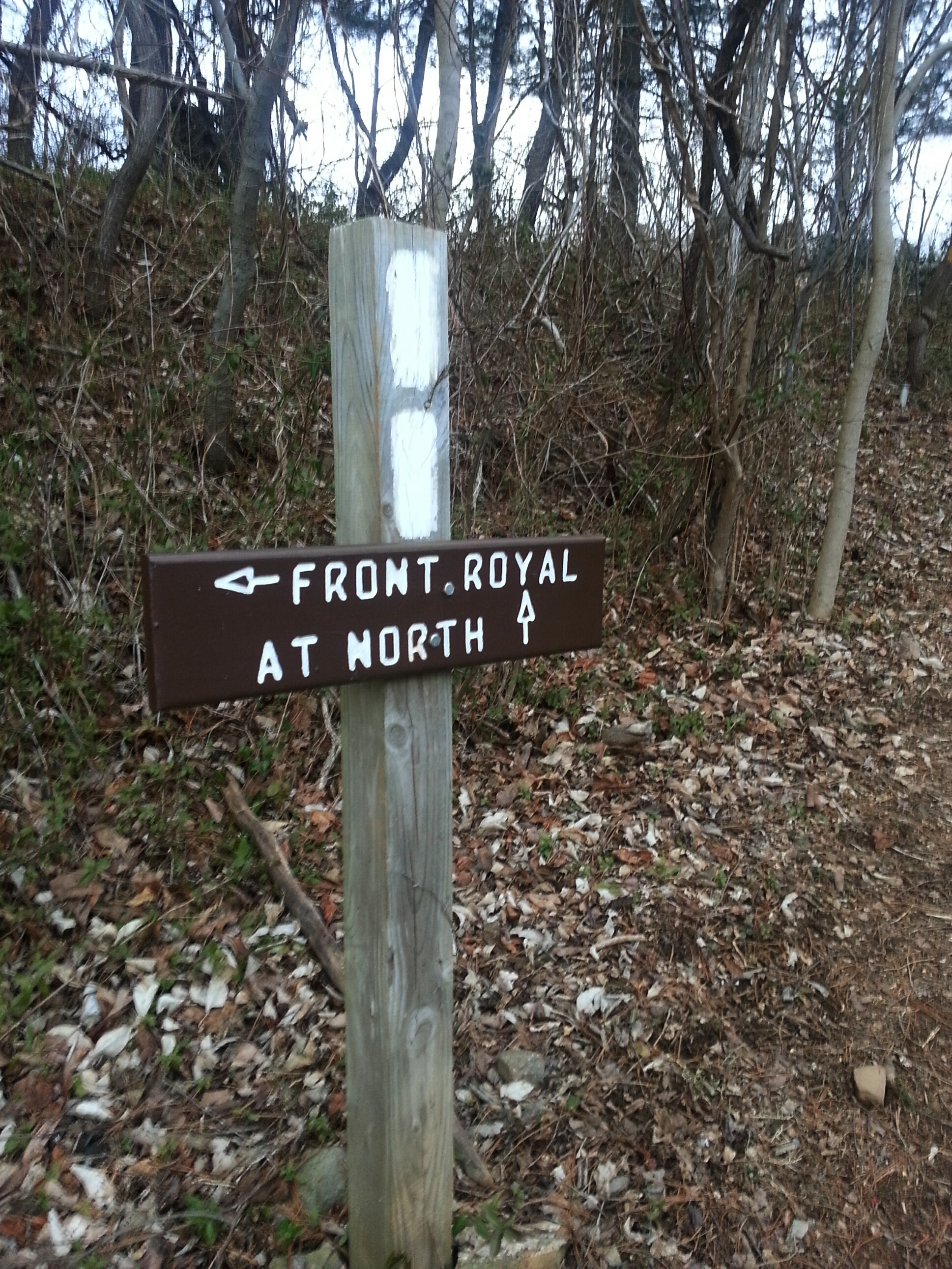
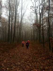
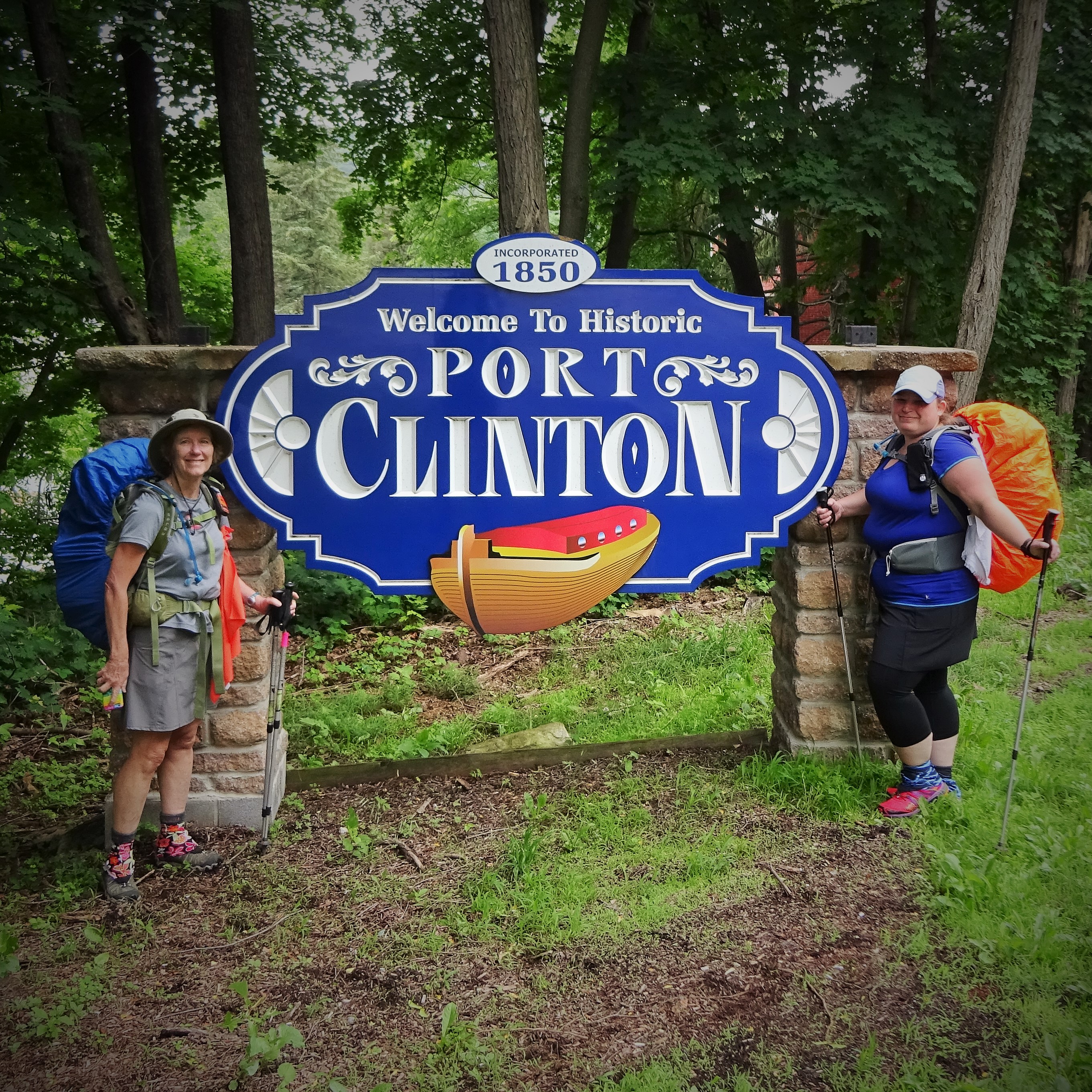
Google parked in the lot just south of town on Rt. 61. CanDo decided to hike the Blue Blaze to the AT, while Google, Bag Lady and I took the longer route through town. The barbershop already had a few thru hikers hanging out in front and they called out a friendly hello as we passed by. The barber tried to distract us with cookies, but we were focused, determined, and ready to hike!
Continuing down the street, a cute beagle let us know we were on his territory as we walked by his fenced yard! Turning the corner we were now on the AT and soon saw CanDo waiting for us at the gate.
Google & Bag Lady
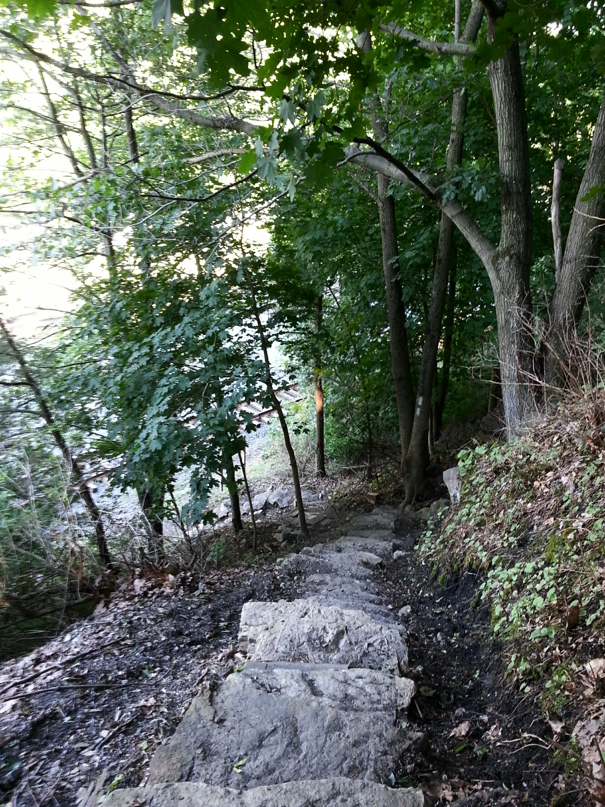
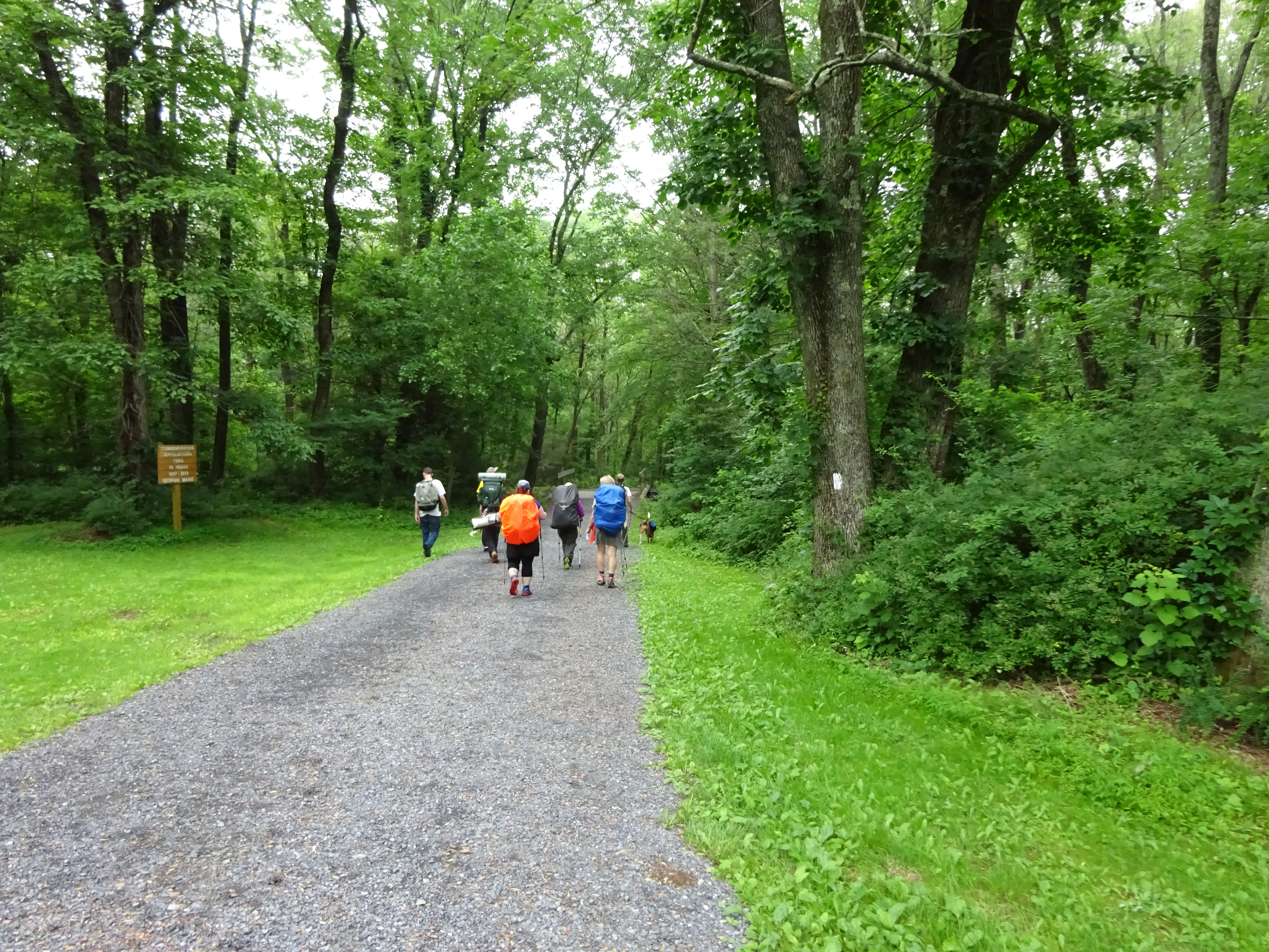
We were now officially on our way! The walk along the Schuylkill River is very pleasant, although there were a few muddy spots this morning. We chatted about Scott Jurek. He was currently about 35 miles behind us…Bag Lady had been tracking him all week. We had all been discussing the possibility of seeing him during our trek, and now it looked like he might pass us somewhere on the trail today!!
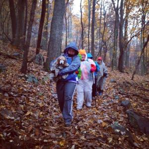
When we started climbing Blue Mountain out of Port Clinton conversation all but stopped as the terrain became steeper. Google and CanDo pulled ahead, while Bag Lady and I kept a more casual pace (translation: slow as molasses but not as sweet).
Climbing Blue Mountain
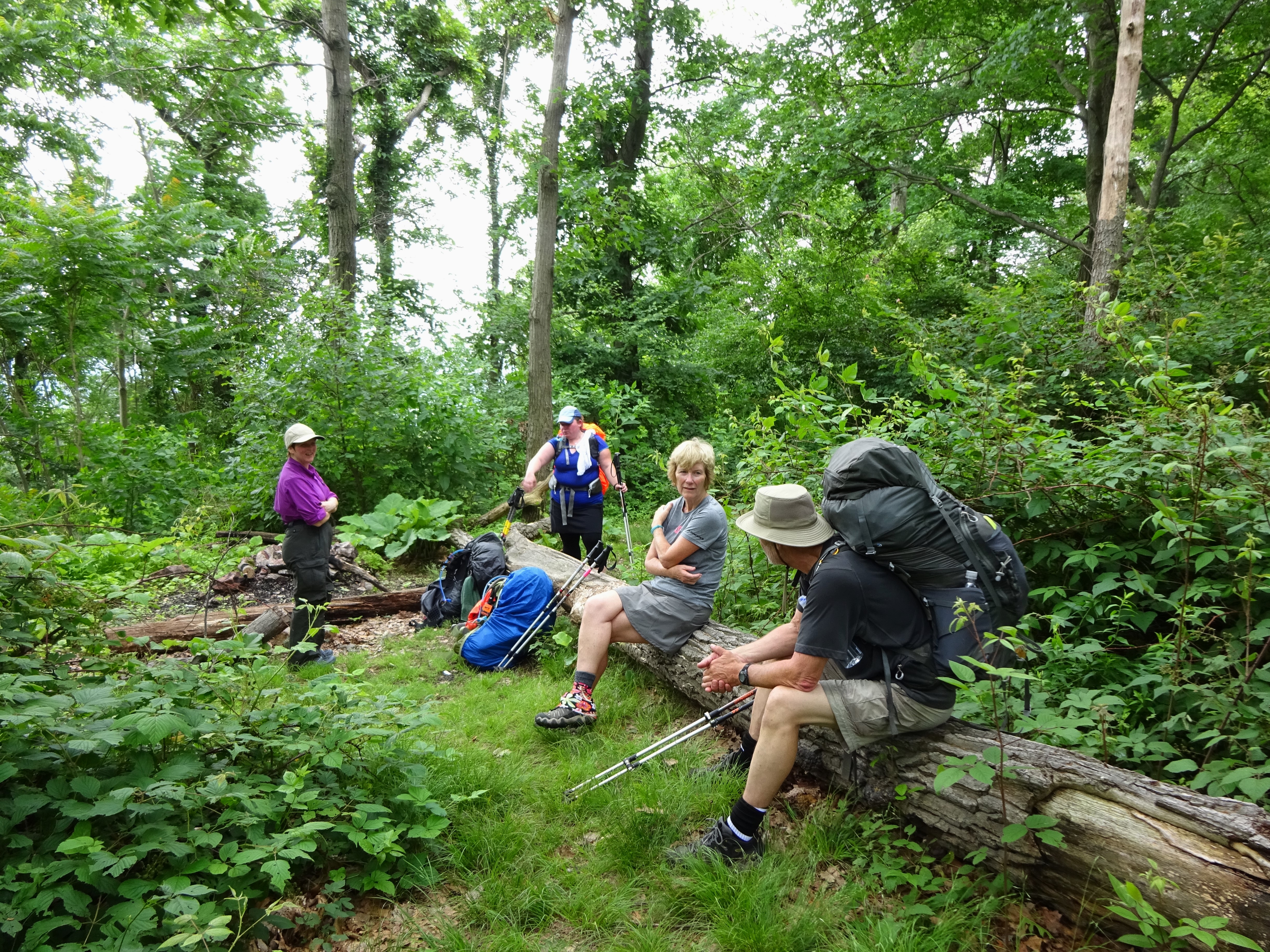
Bag Lady & I found Google & CanDo waiting for us at the top!
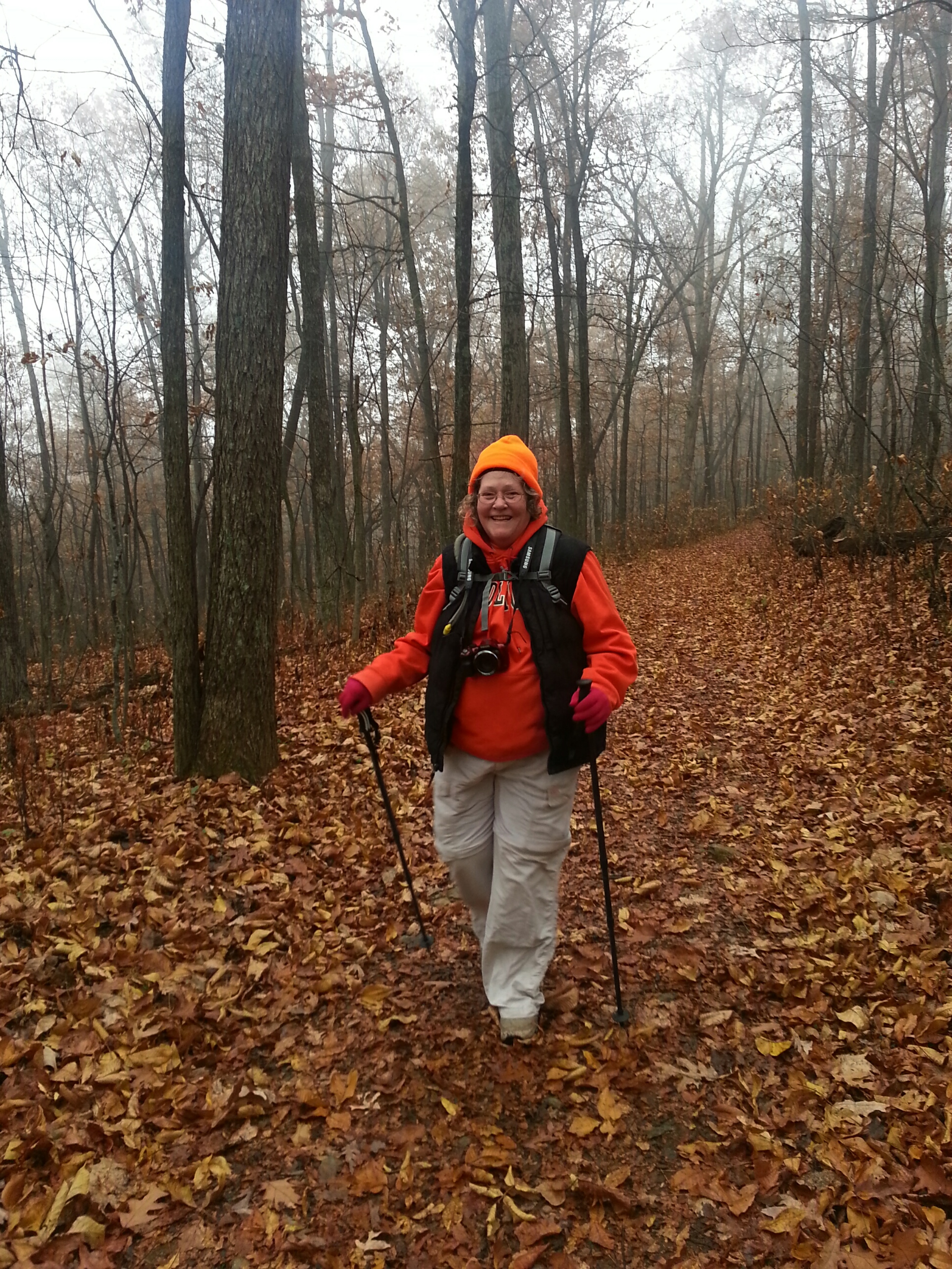
It was a long climb with a full pack, but eventually the endorphins kicked in leaving me giddy! Suddenly, everything was great…the weather, the view, the trail, being outdoors, life, oh…I thought someone was going to slap me I felt so good! 🙂
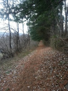
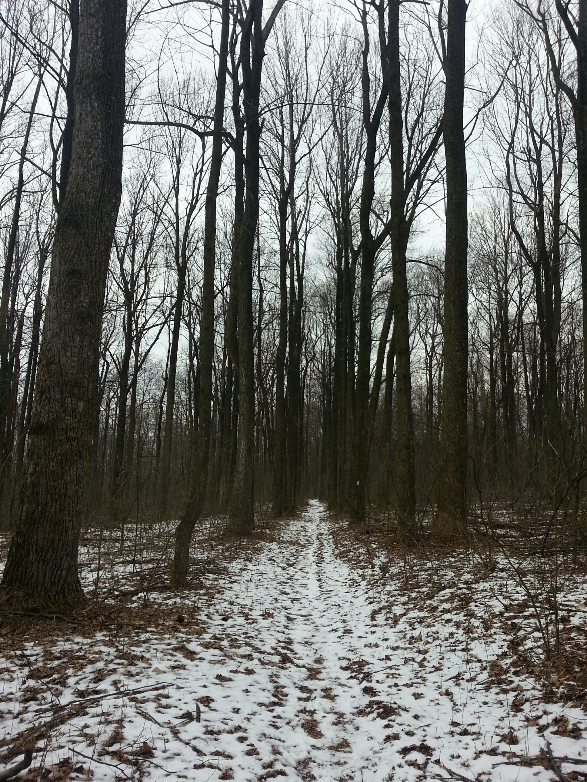
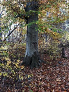
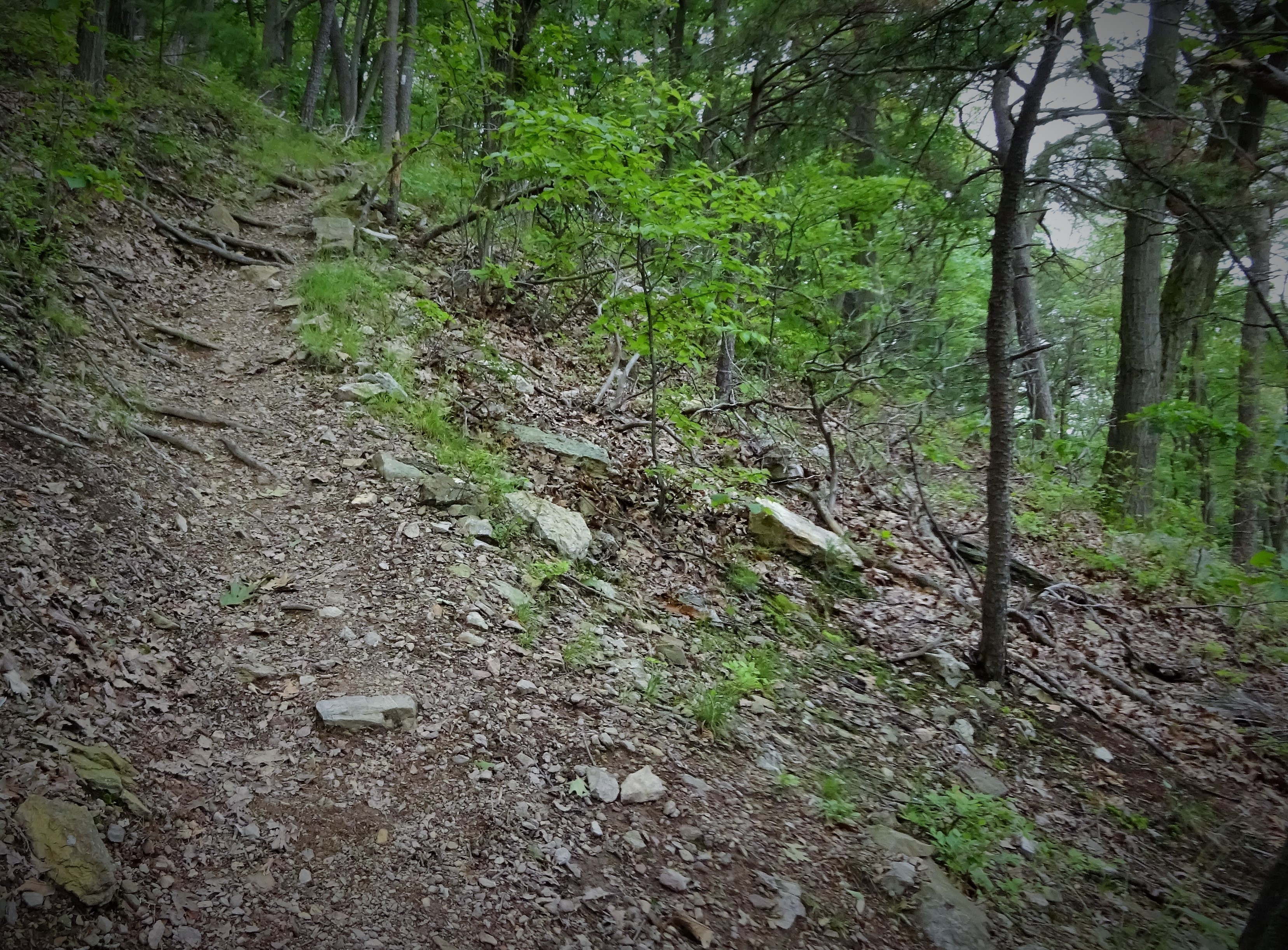
The trail from the top of Blue Mountain to the shelter was surprisingly decent. There were some small rocky spots, but plenty of smooth trail too.

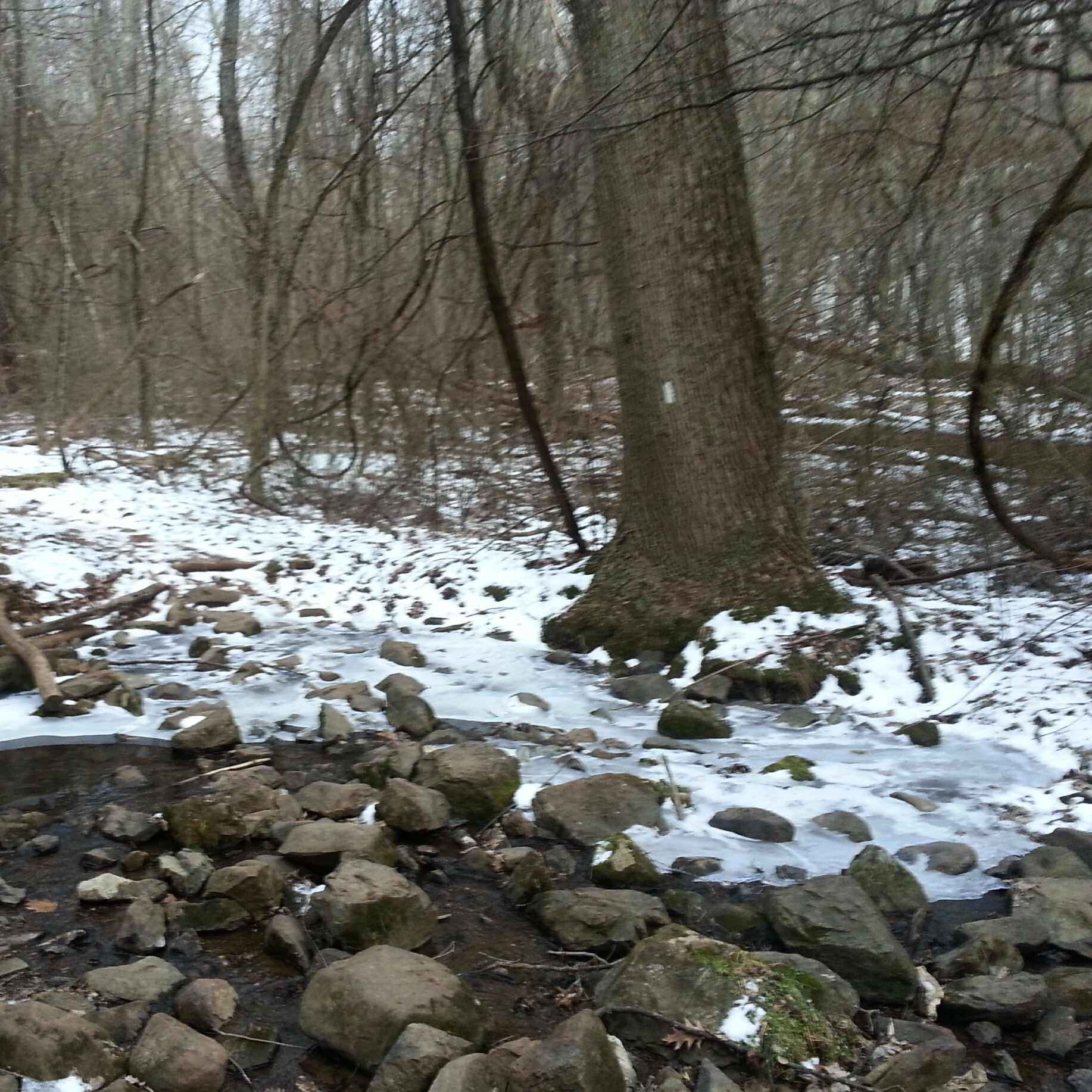
Descending around the rocks

Pocahontas Spring sign

Consulting the Map

Not a bad trail!

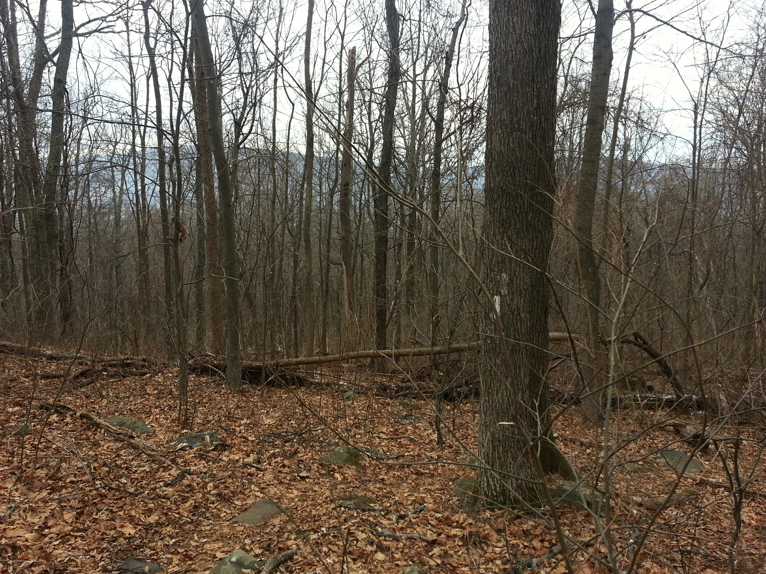
A little more rocky, but still decent!

Back to sweet trail
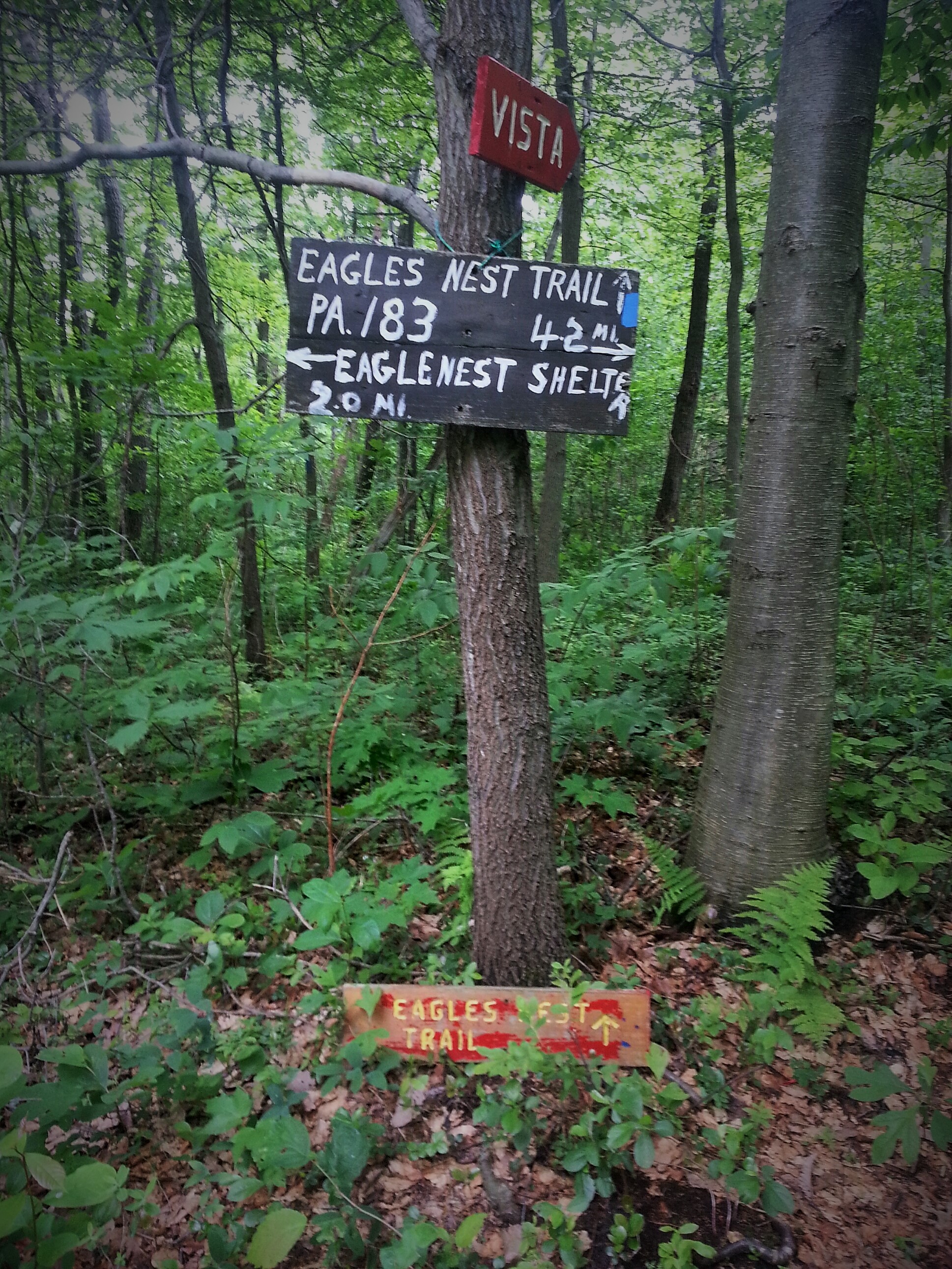
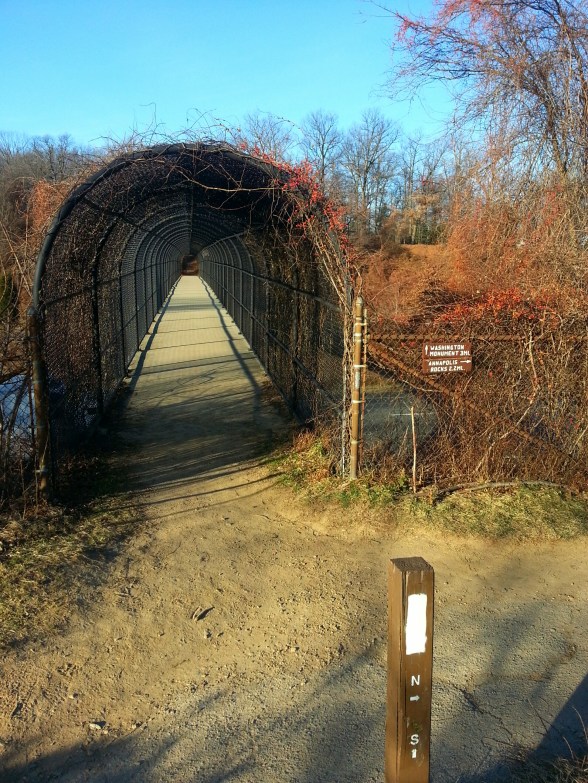
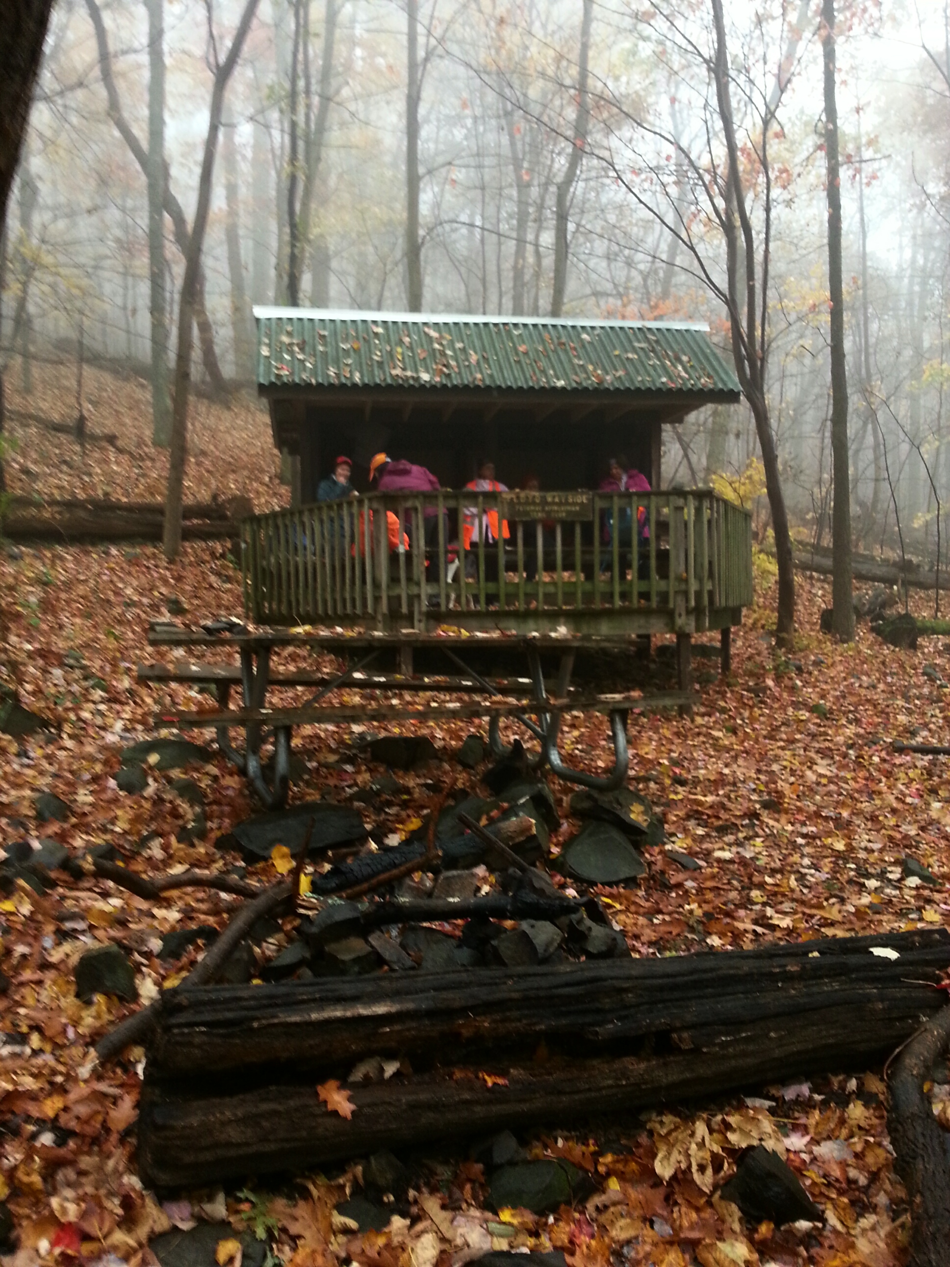
Hamburg Road

Windsor Furnace Area
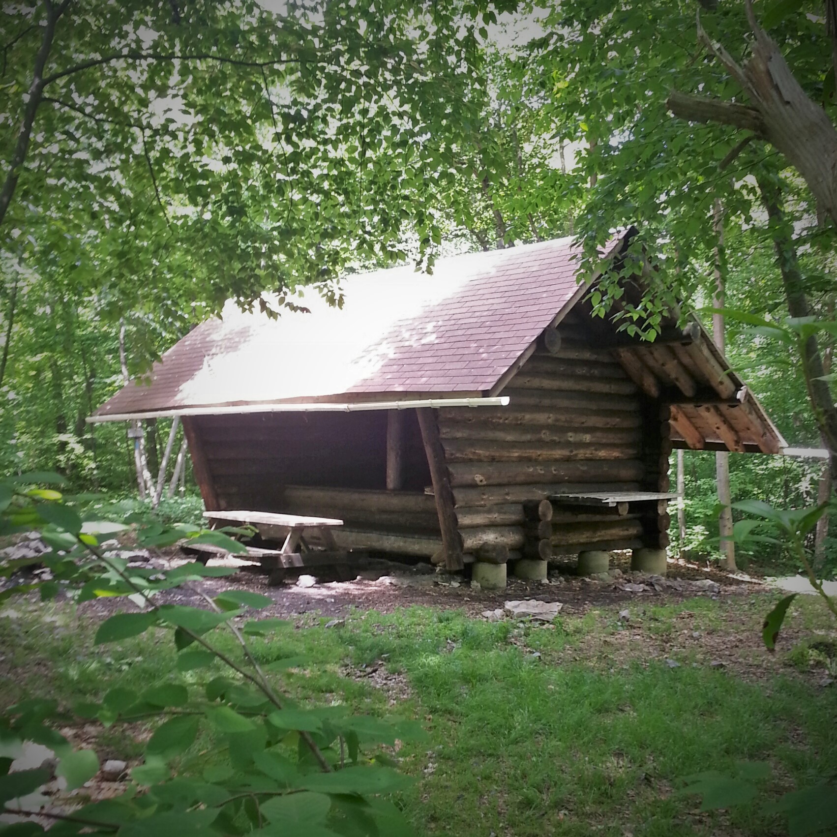
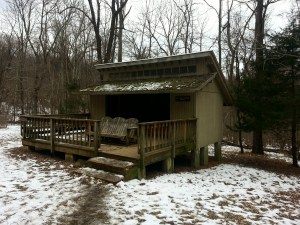
Our packs were covered in case of rain, but we arrived at the shelter high and dry! We set up, ate dinner, and checked in to see where Scott was on the trail. He was approaching Port Clinton! Then the tracker showed he had stopped for a while.

Waiting for Scott
We checked in a while later, Scott was still in Port Clinton…and it had begun to rain. Then it started storming…Scott was still in Port Clinton at 8:30 pm…guess he was spending the night.
One more check in…yep, still in Port Clinton!
Headed to bed, but by all means feel free to hike on!


")