Day 3: June 22, 2015
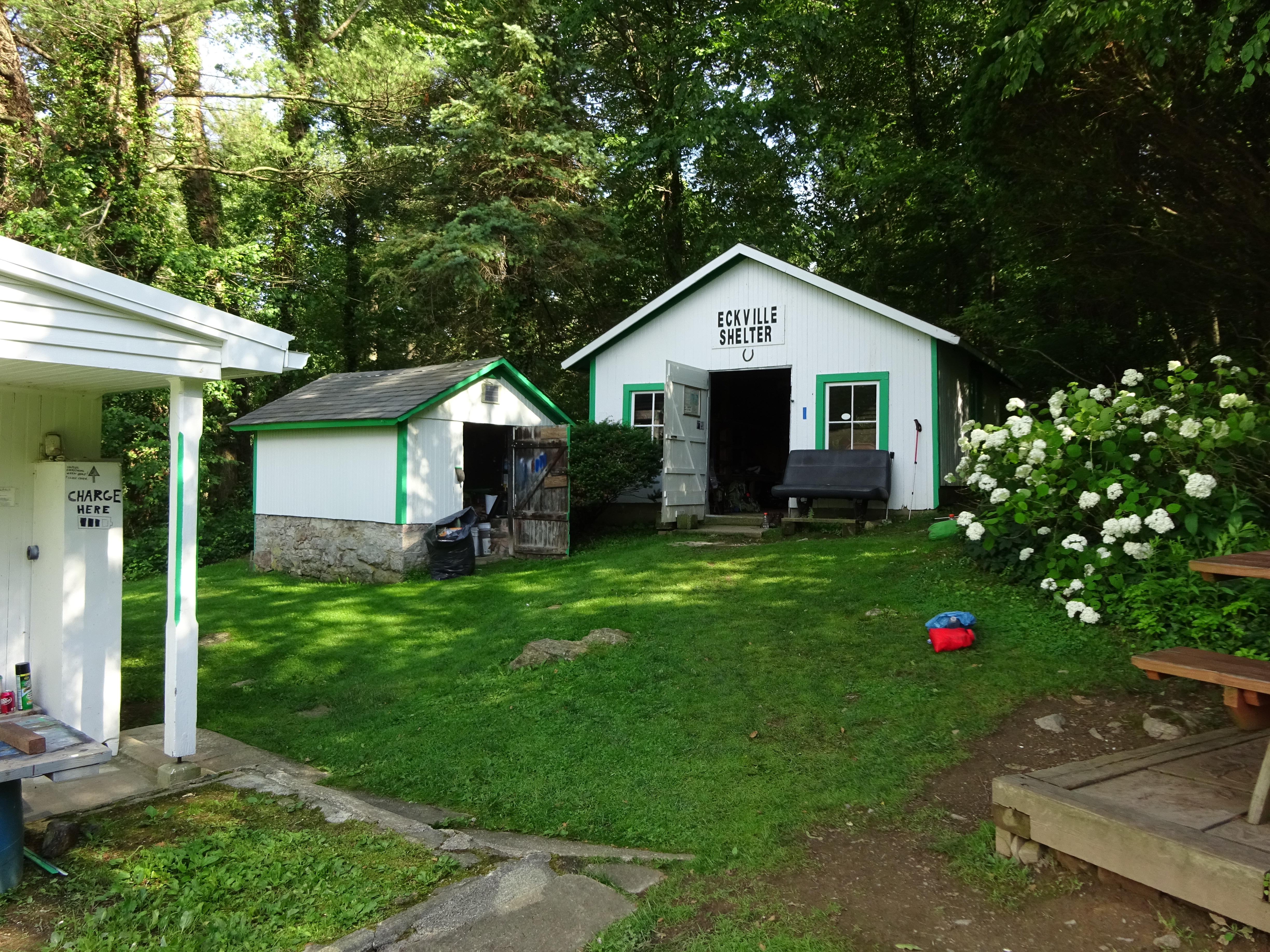
Well, after an evening of thru hiker tales, including one about a hiker who took part in “hike naked” day, I conked out before it got dark in the Eckville Shelter!
Up early, ate my granola bars, and was ready to go! I swore off oatmeal after the last backpack. Why? I mean it is so good for me! It’s gross. It’s mushy. I have never liked oatmeal and do not see any reason I should eat that crap on the trail…unless it is cold out…then I suffer just so I can have something warm to eat. But I am working on an alternative to that also… 🙂
Watched several hikers leave as I sat at the picnic table and waited for Google and CanDo. Wondered for a moment if they would be offended if I just started hiking. But then I decided it was probably better to stick together since I didn’t want to do anything crazy without someone to spot me!
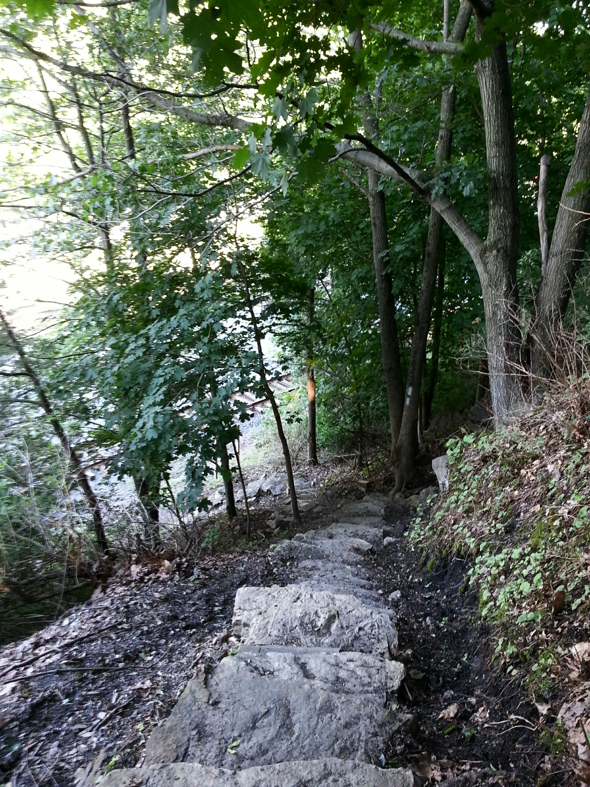
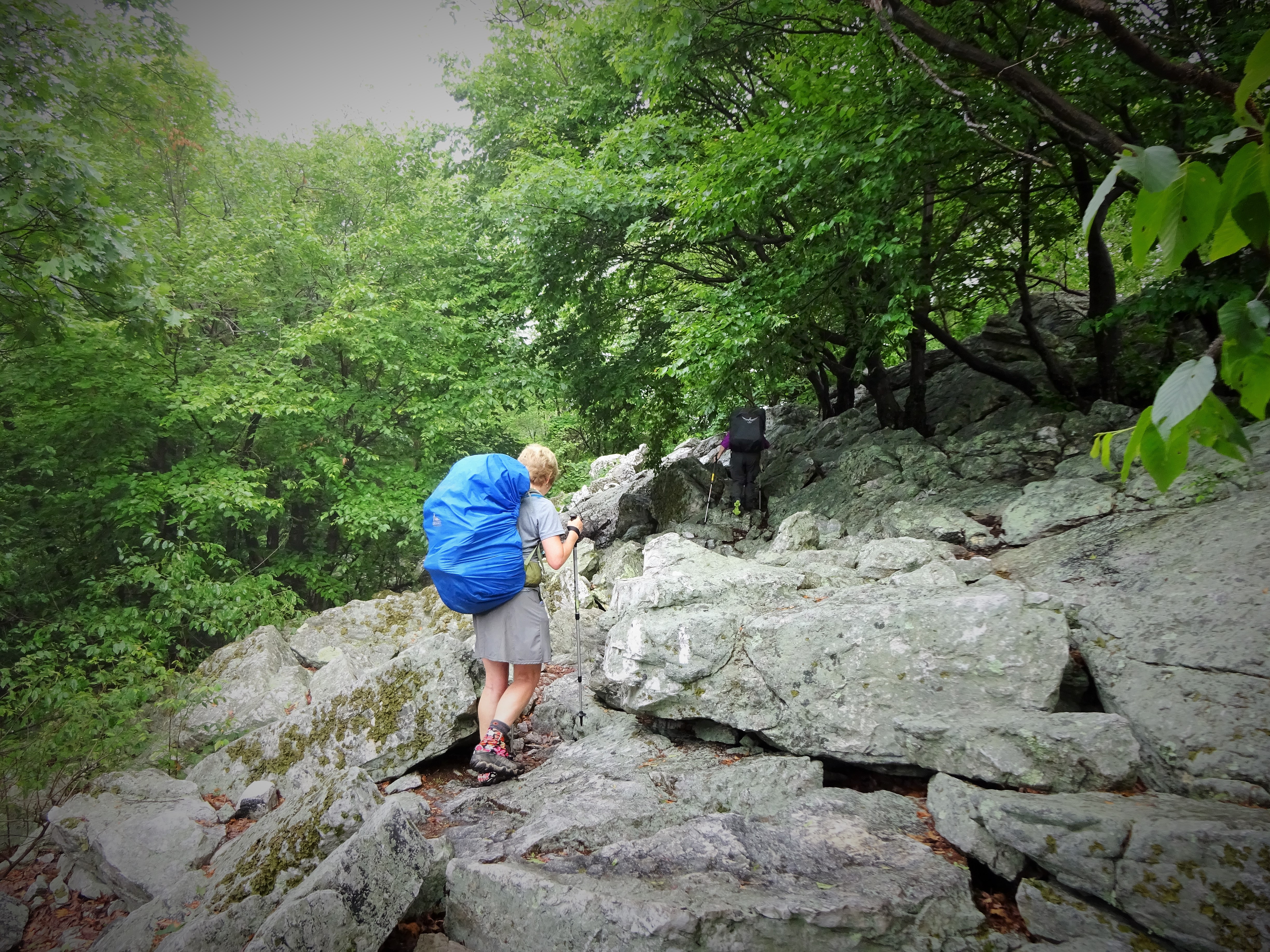
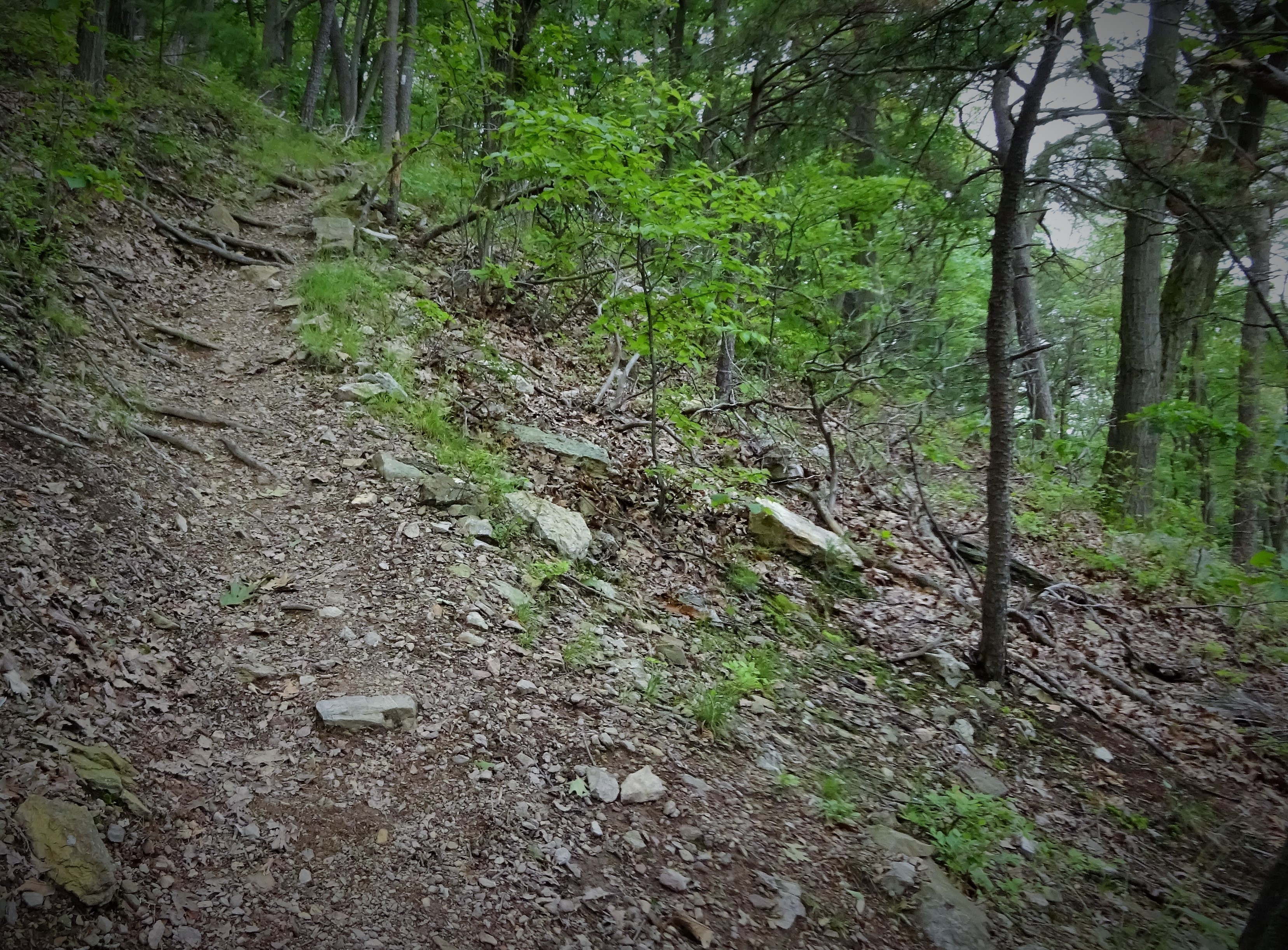
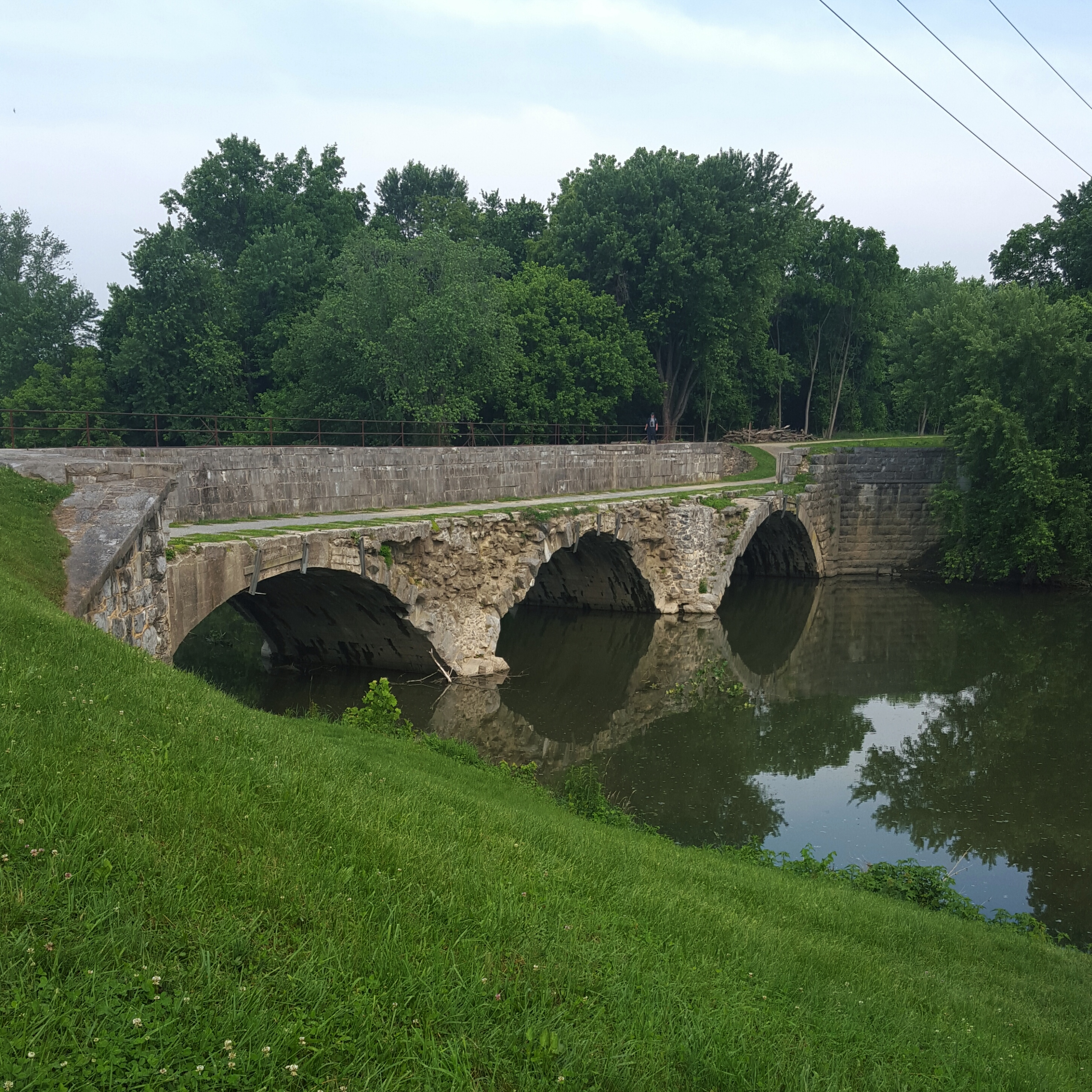
After getting back on the trail it resumed the regular rockiness. After a bridge crossing, the trail ascends steeply to the ridge. Nothing like a climb to get you warmed up in the morning!
Cute little bridge crossing this morning.
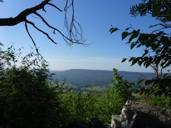
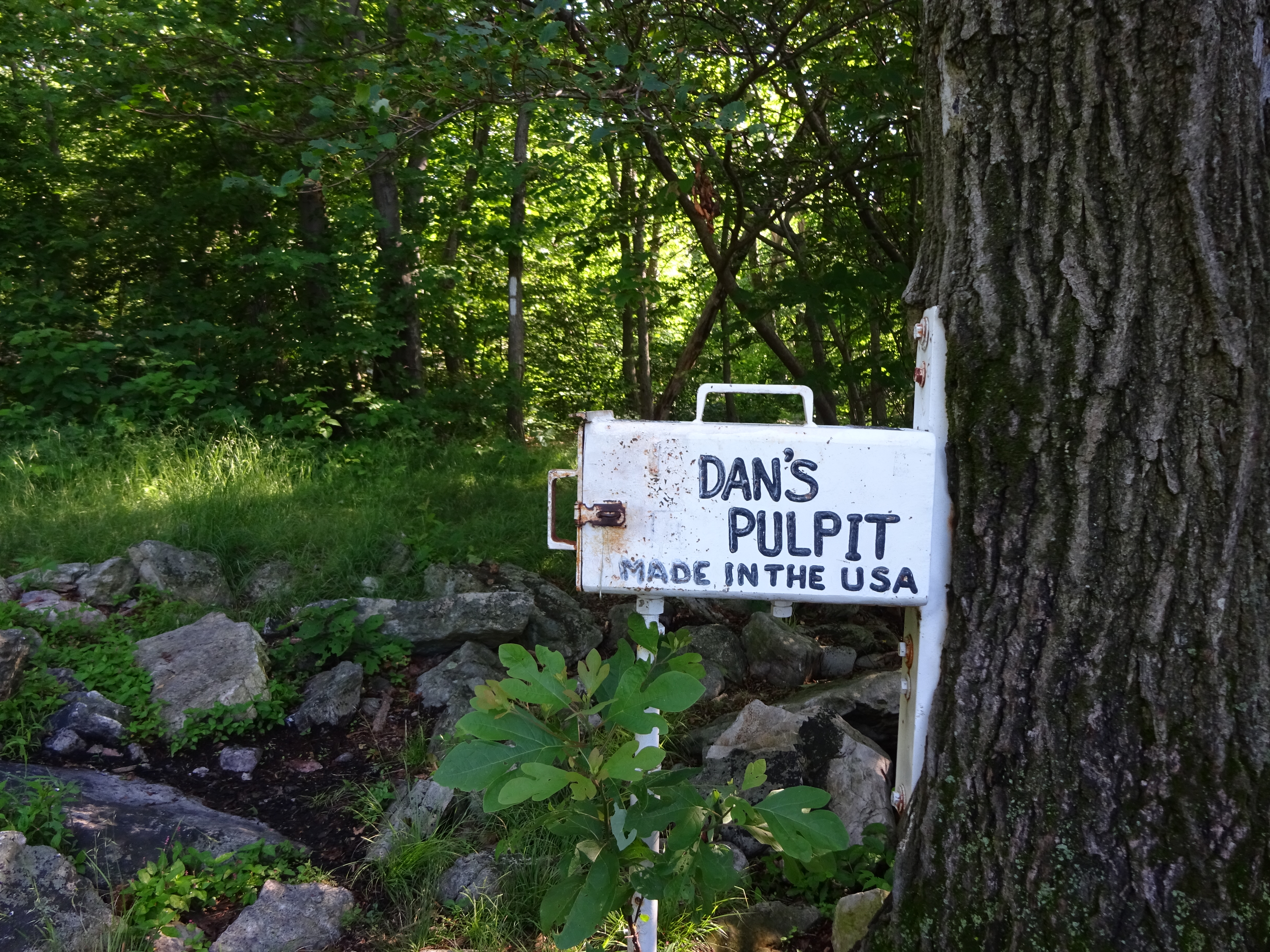
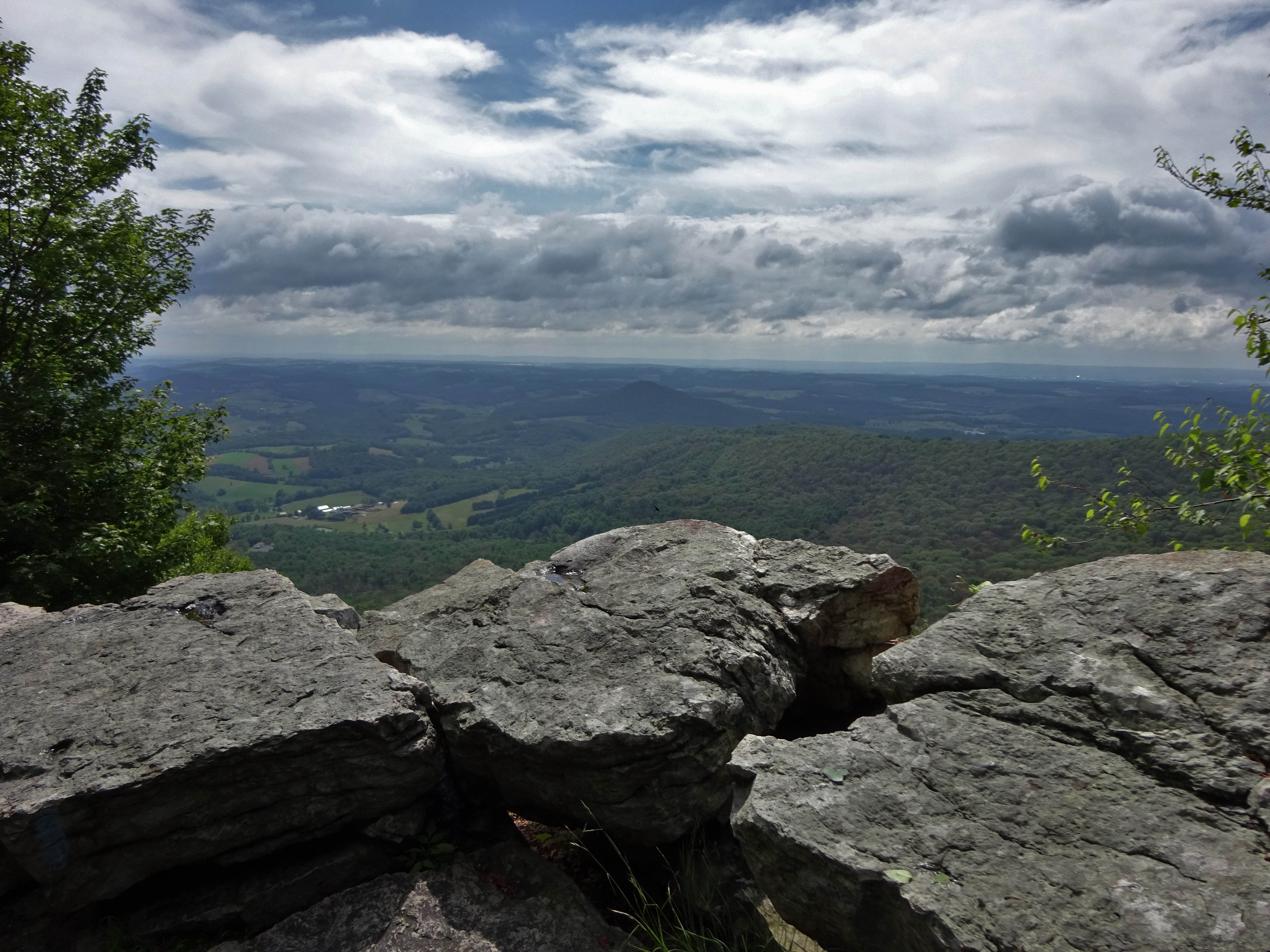
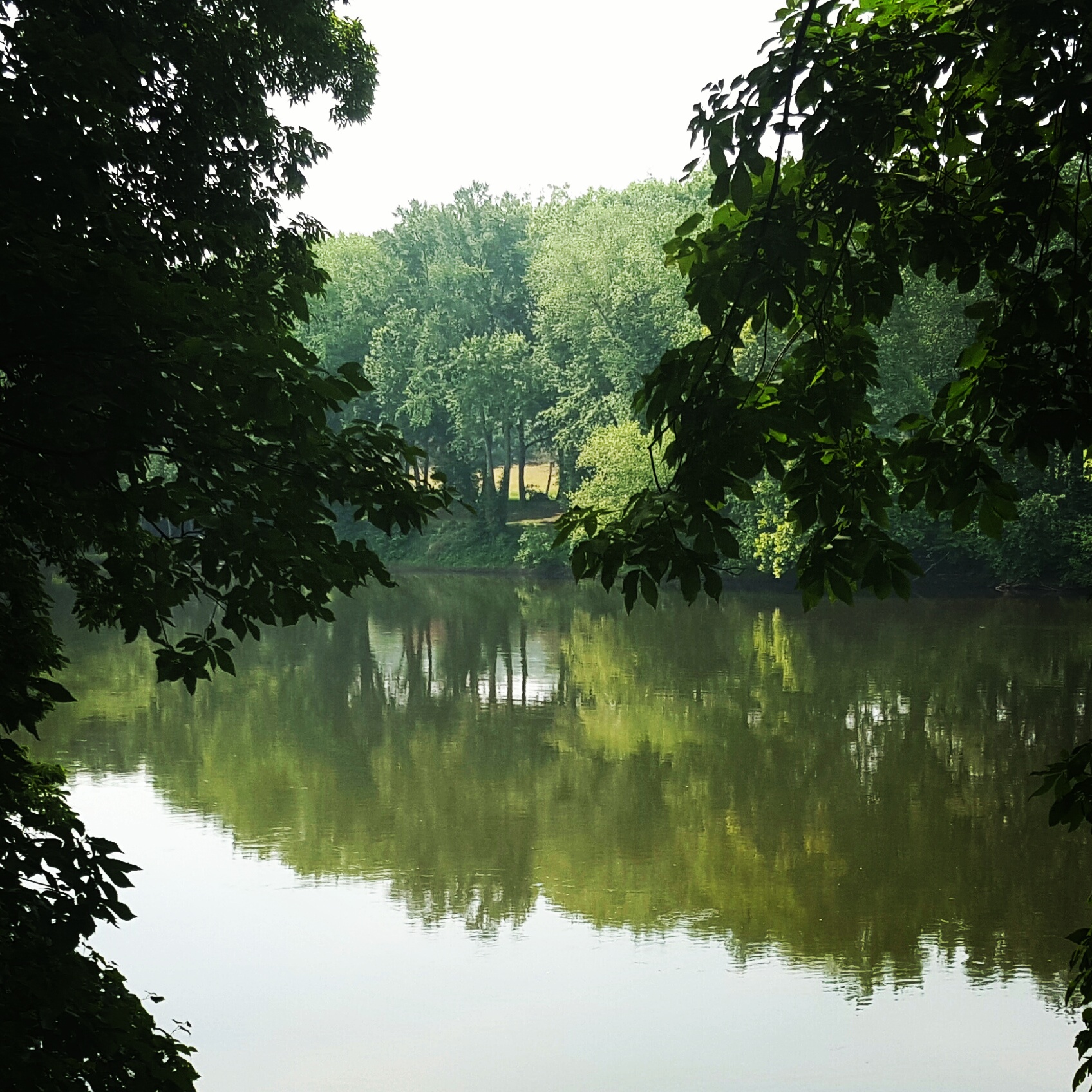
After passing the side trail to Hawk Mountain it is just another mile slightly uphill to Dan’s Pulpit. I was looking forward to this as it would give a view back to the Pinnacle…and I love to be able to look back at where I hiked before. It was blessedly sunny today, which allowed for a good view at Dan’s Pulpit.

Dan’s Pulpit looking at the Pinnacle
Register at Dan’s Pulpit
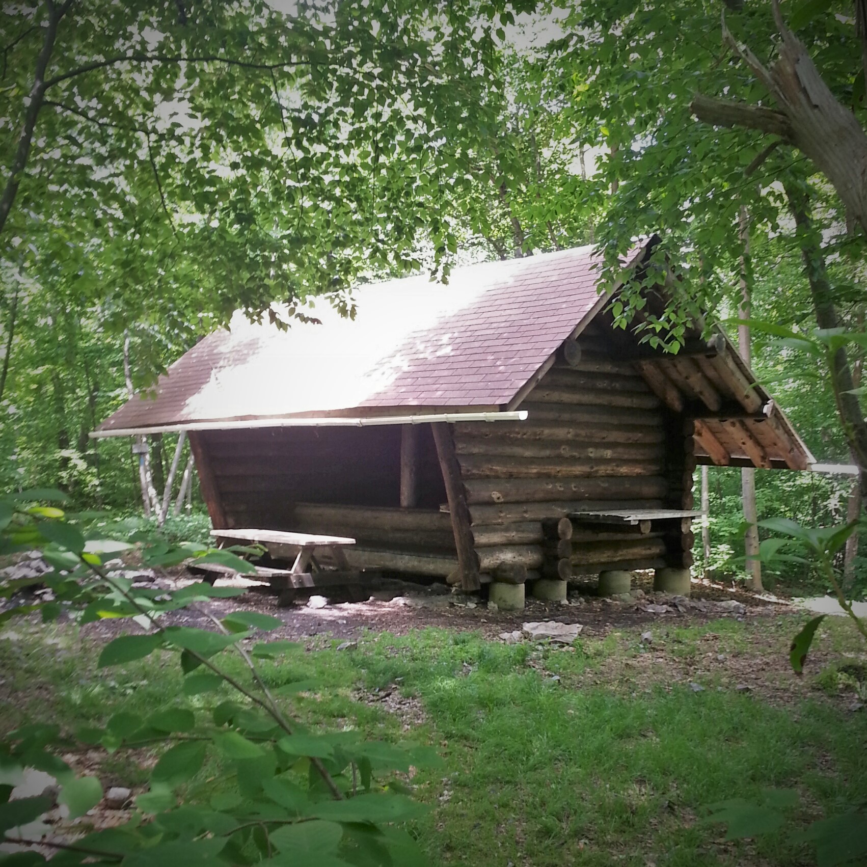
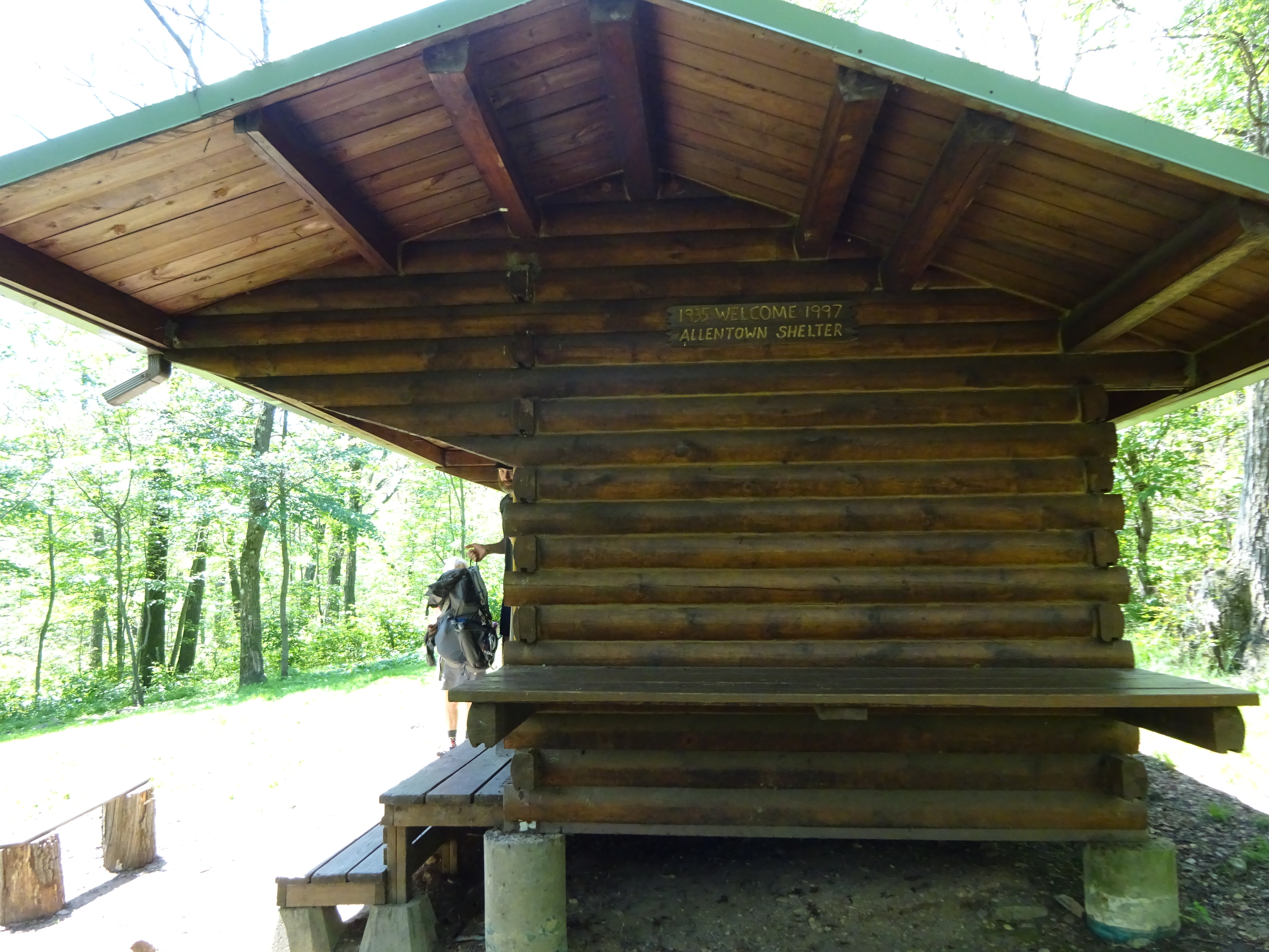
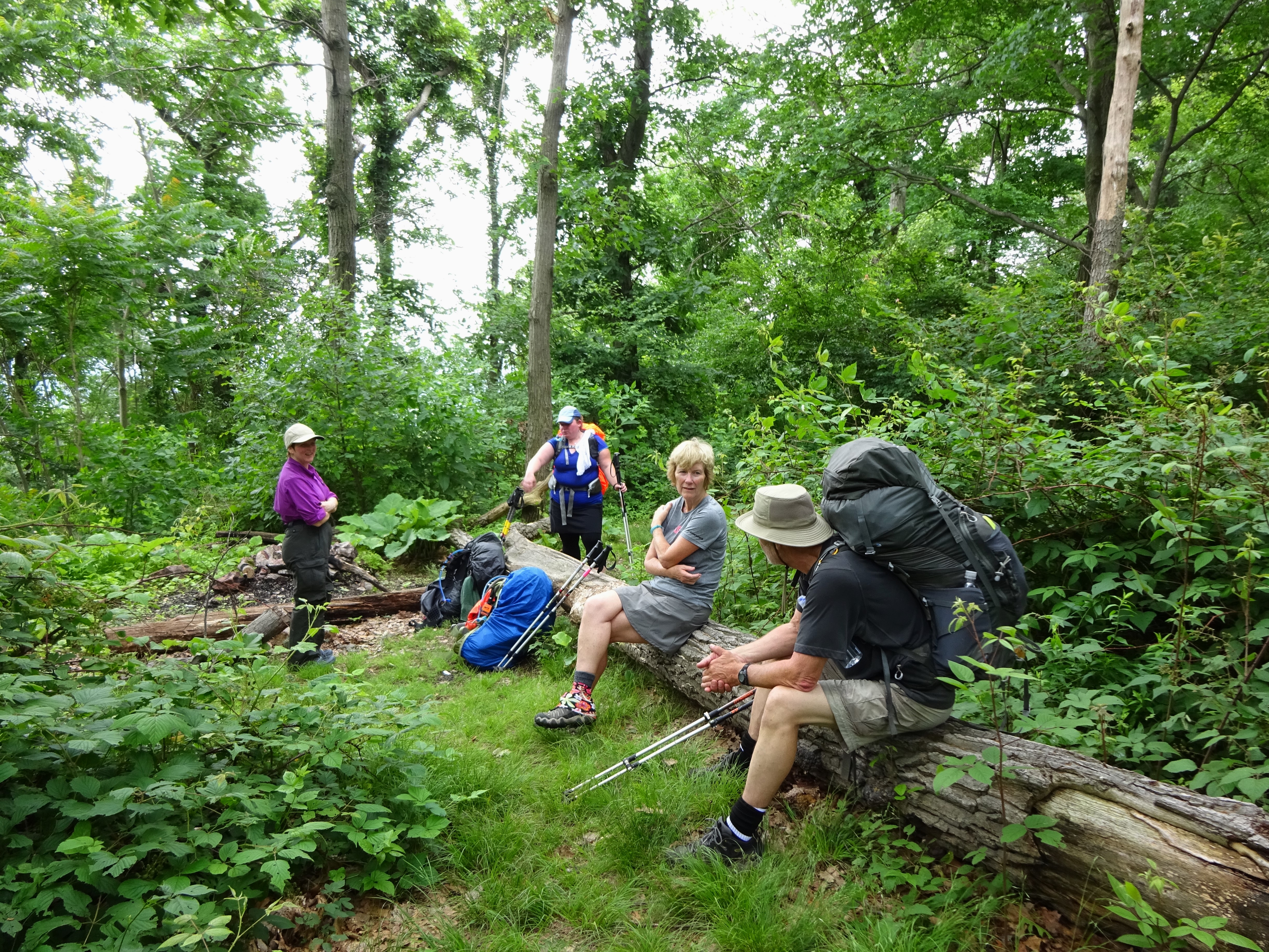
Pennsylvania raised its rocky head afterwards! Lots of fun rock jumbles meant tedious walking. Nothing like stepping on a rock that decides to dance with you! Add to that rising temperatures…whew. Every once in a while a great breeze would catch me unaware and I would just be like “Yesssssss!” The heat and the rocks had us slowing down a bit and I was happy to pull into the Allentown Shelter for a break and lunch. 🙂
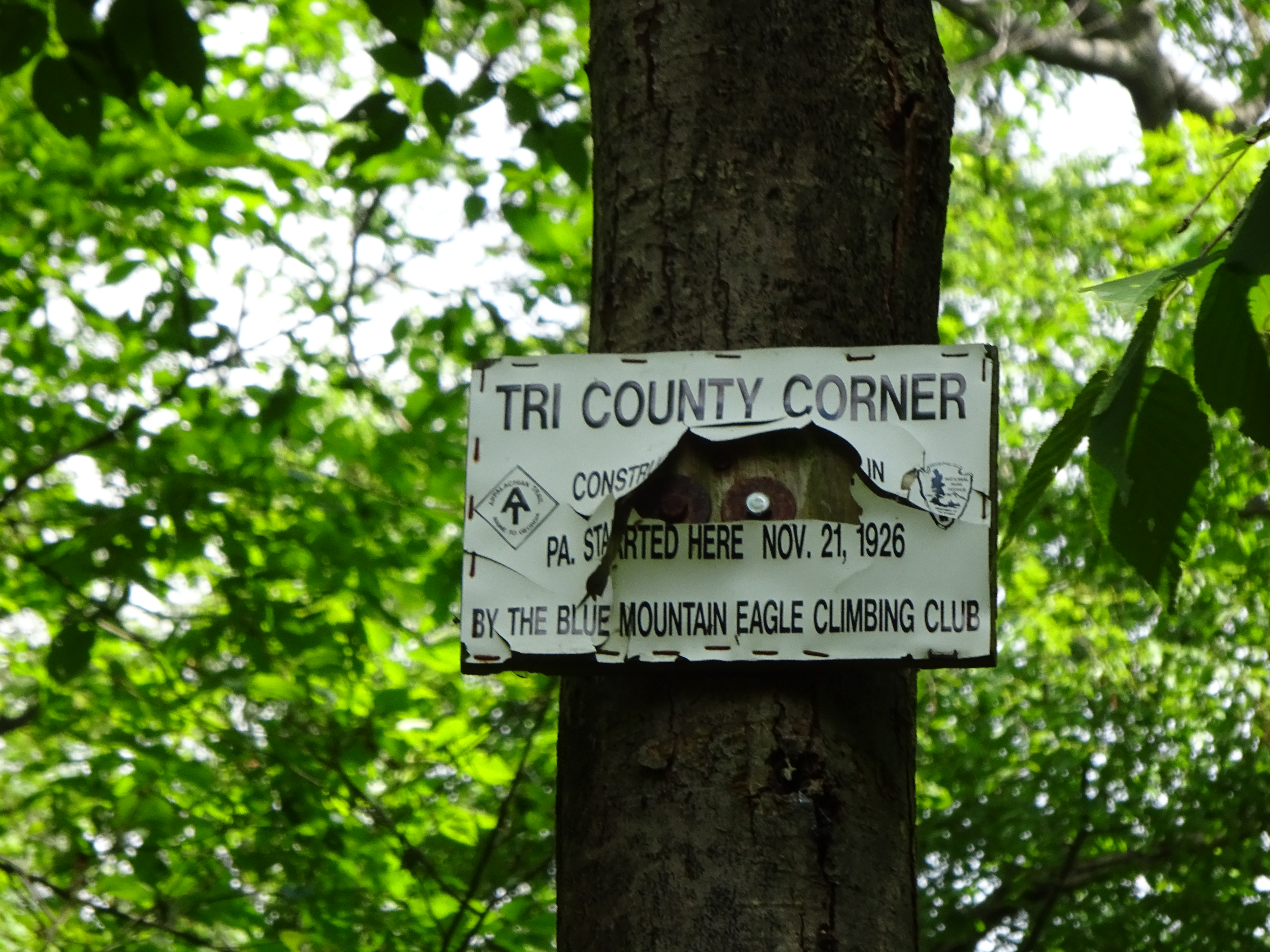
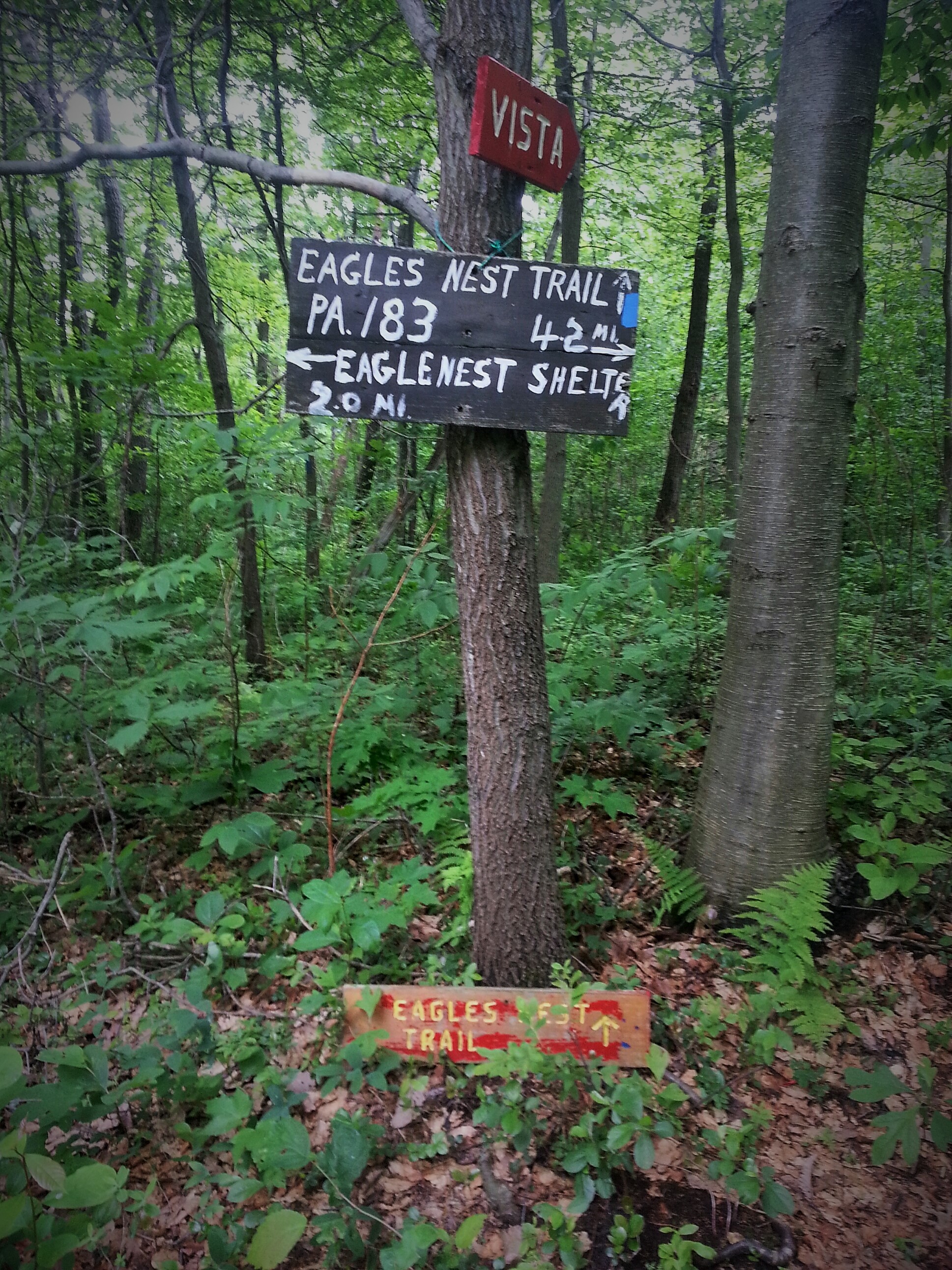
Passed the Tri-County Corner

Yay! the Shelter at 7.4 miles.
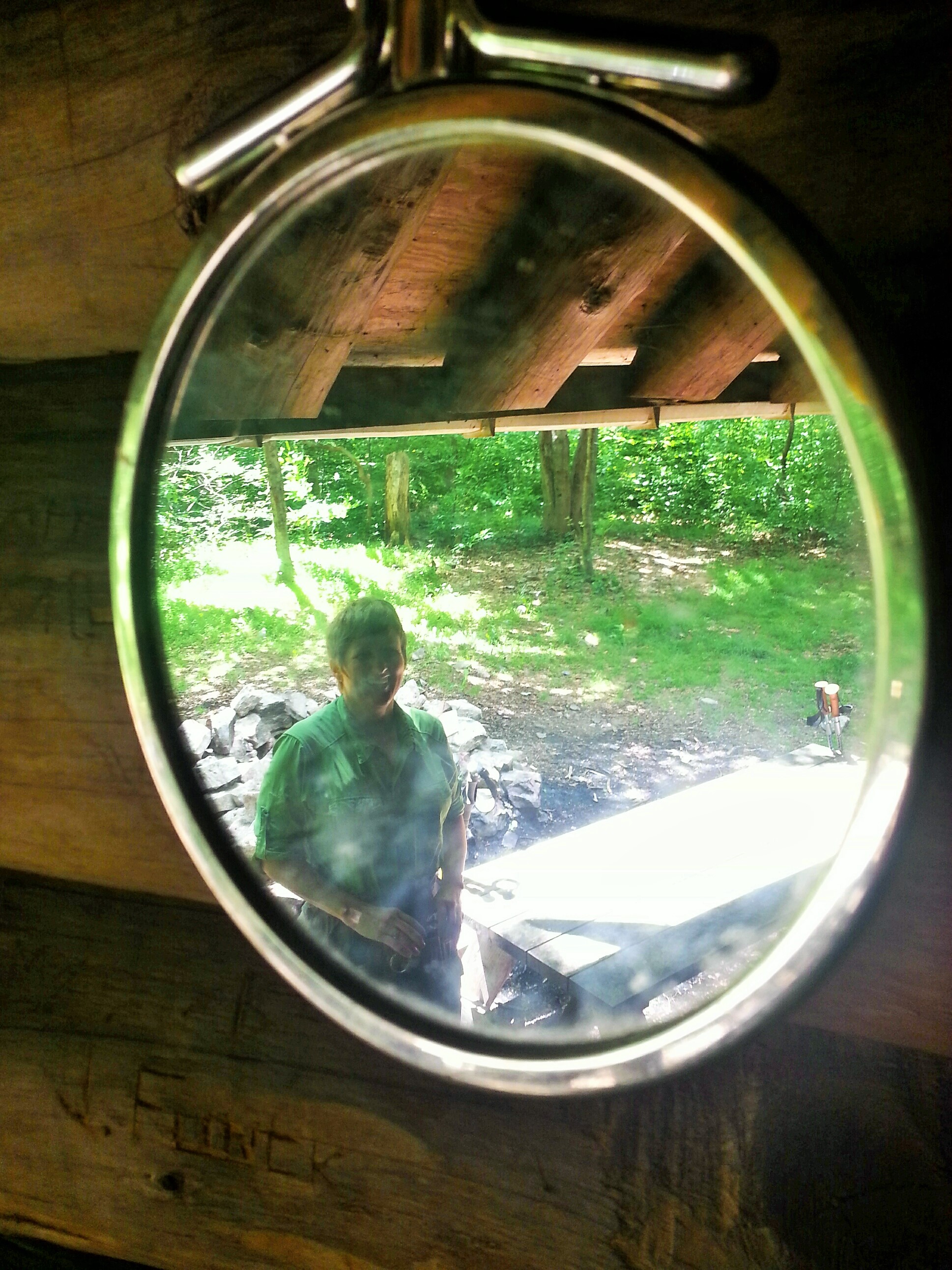
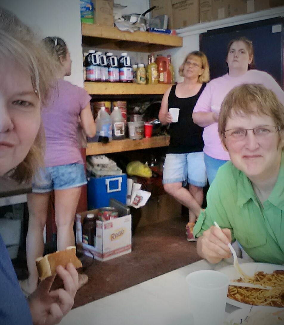
Lunch!
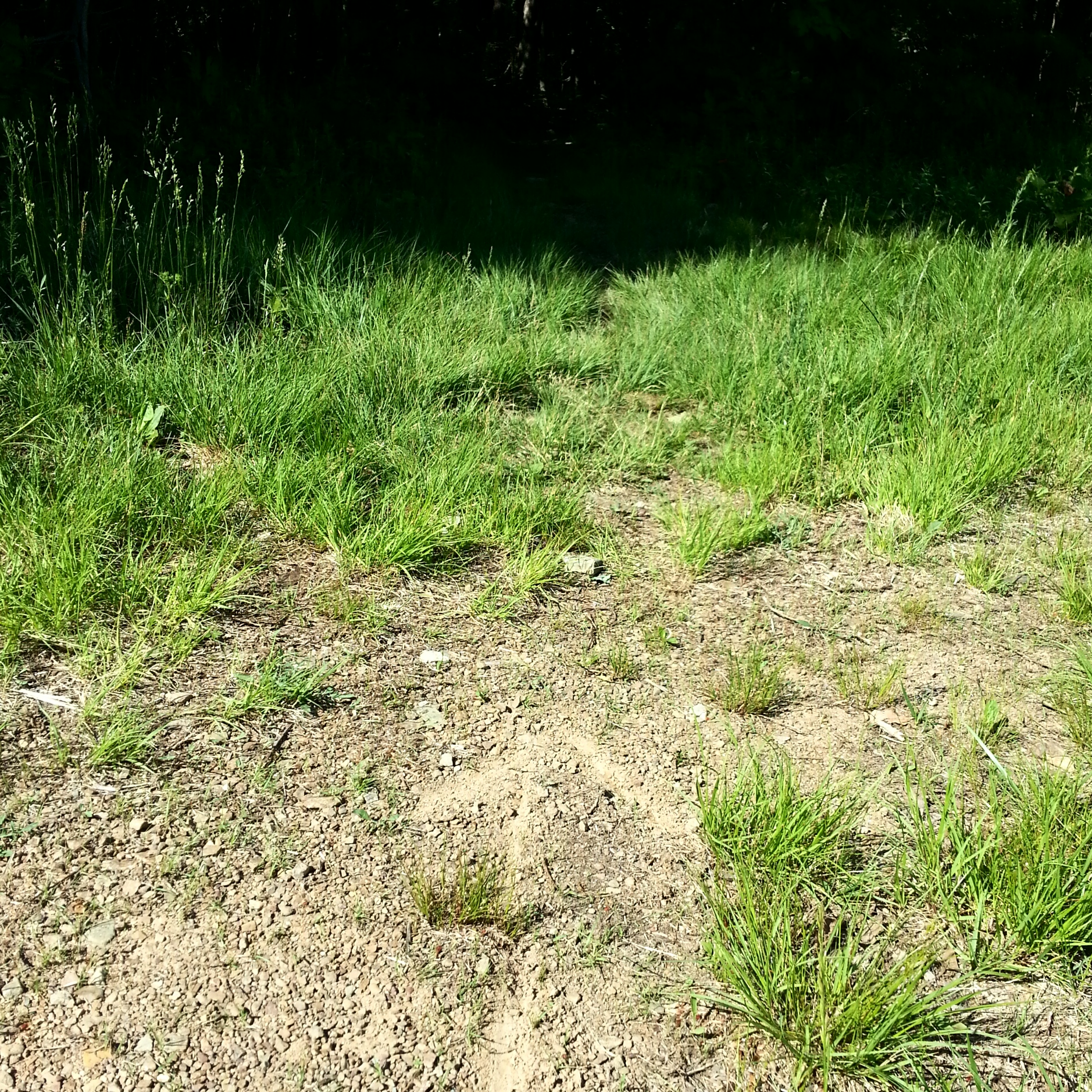
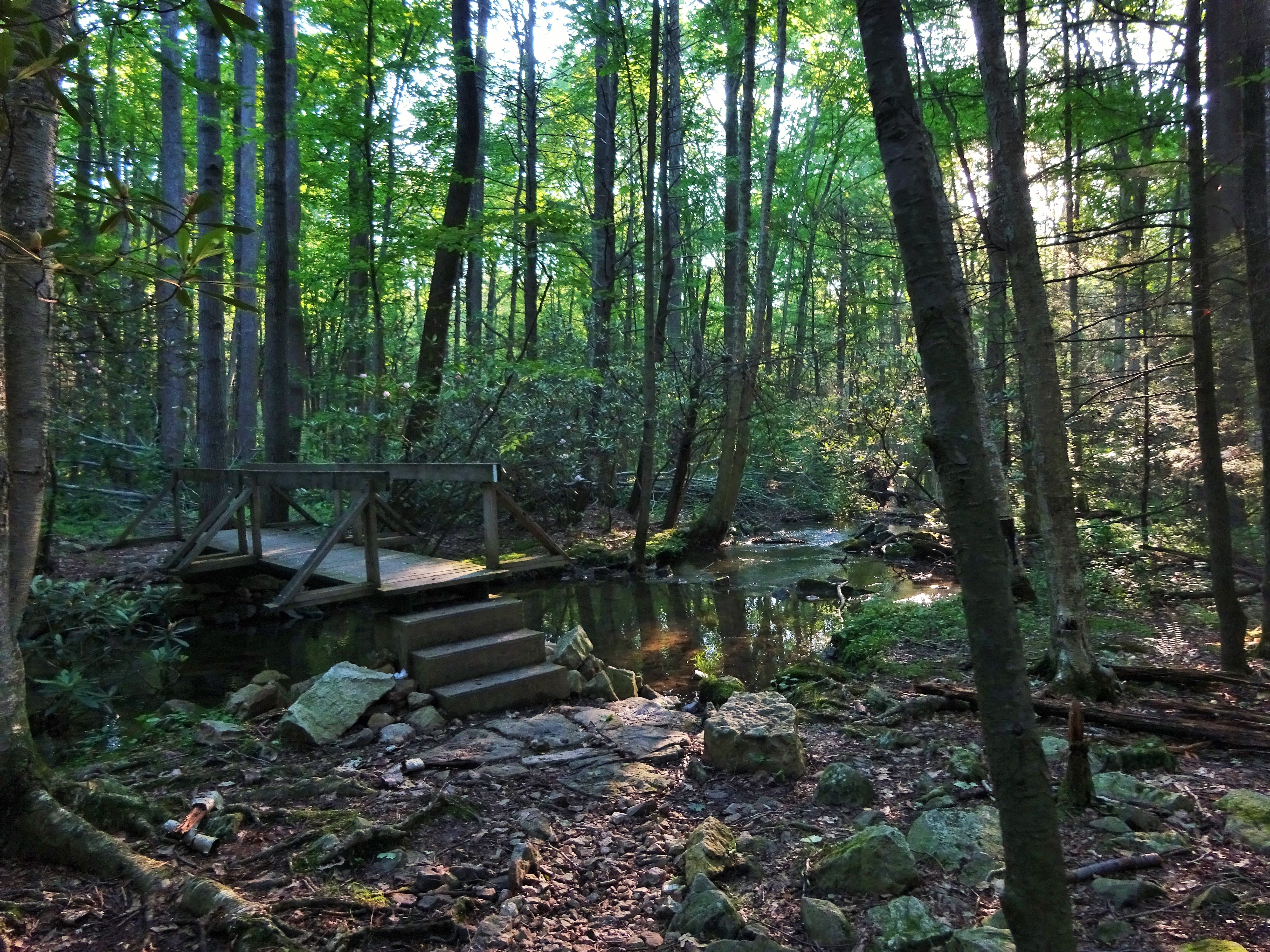
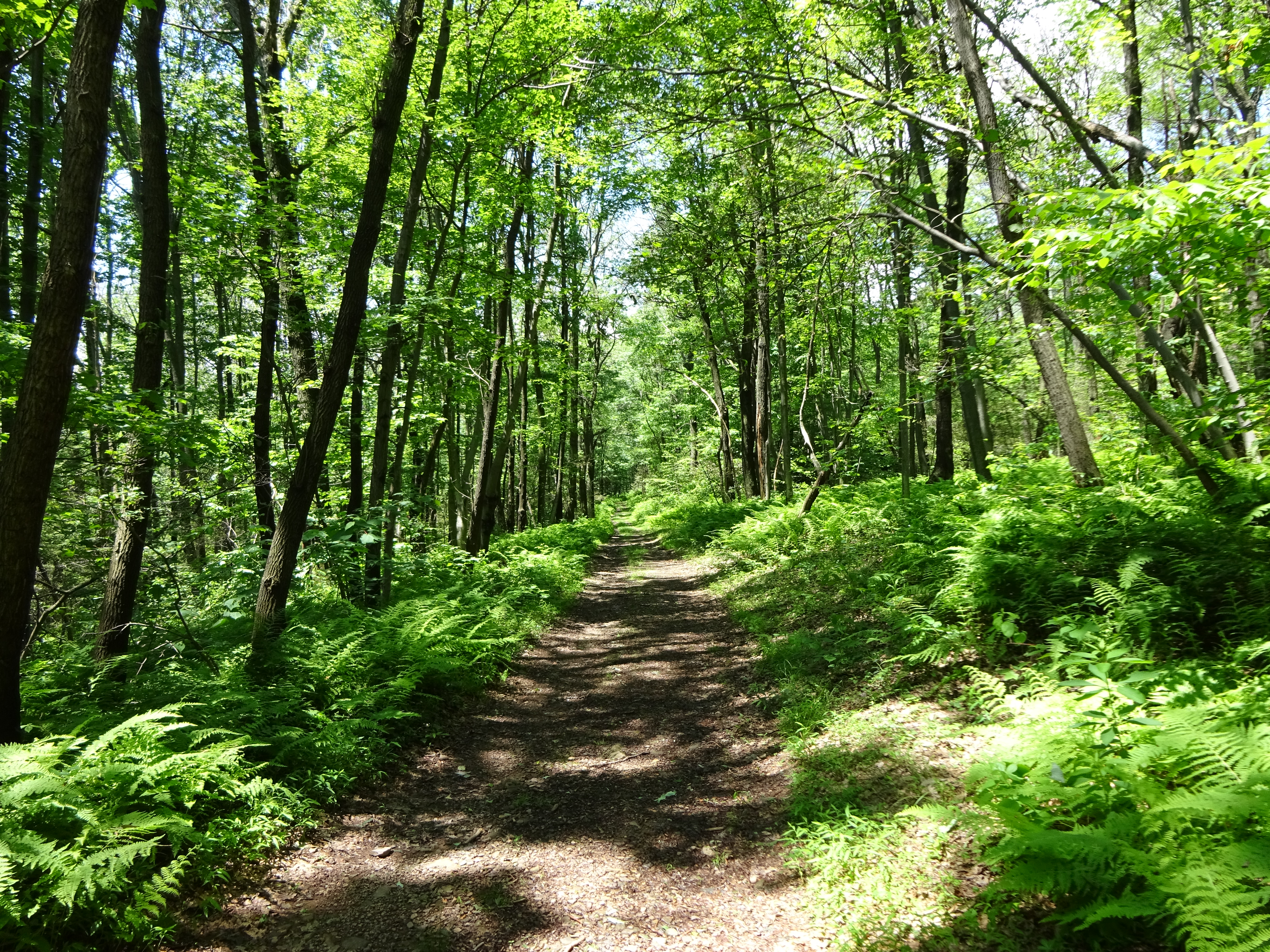
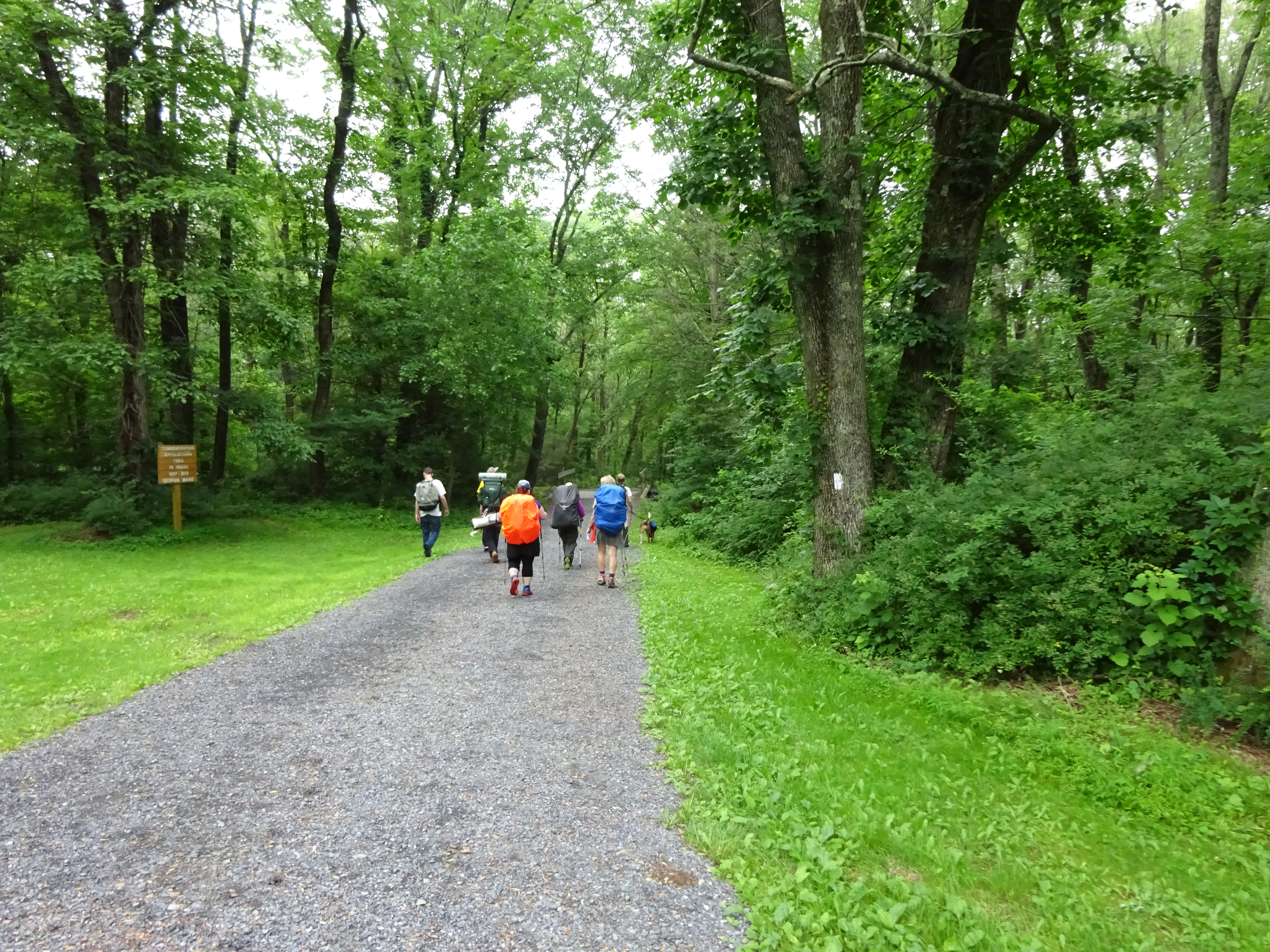
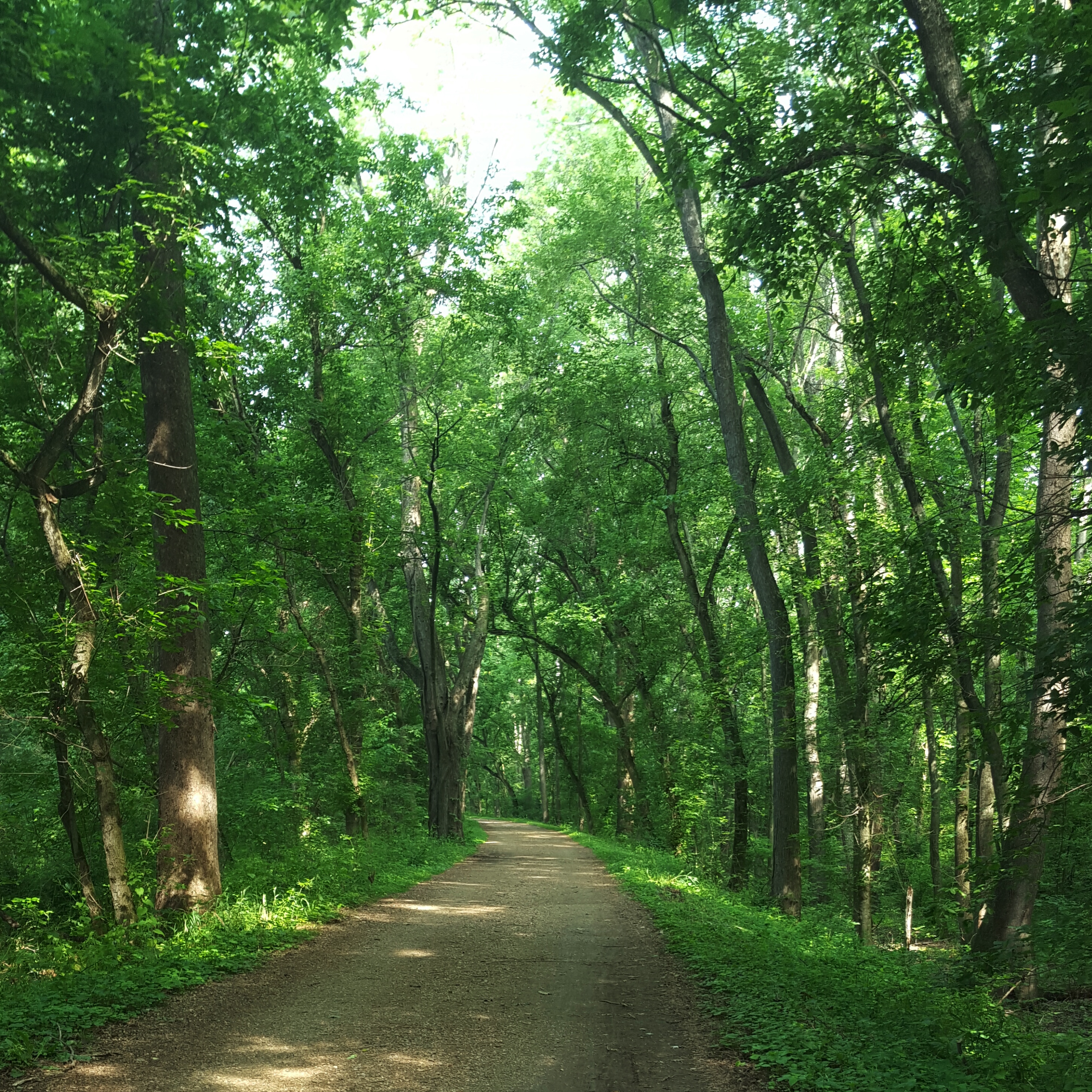
I chugged my Gatorade, took off my shoes and rubbed my feet! These rocks were getting to be serious business. But after the shelter…smooth sailing. We got to Rt. 301 relatively quickly. It was flat fire roads again with beautiful ferns lining the path. Overhead, the blue skies and puffy white clouds went on forever. A gorgeous, hot day!
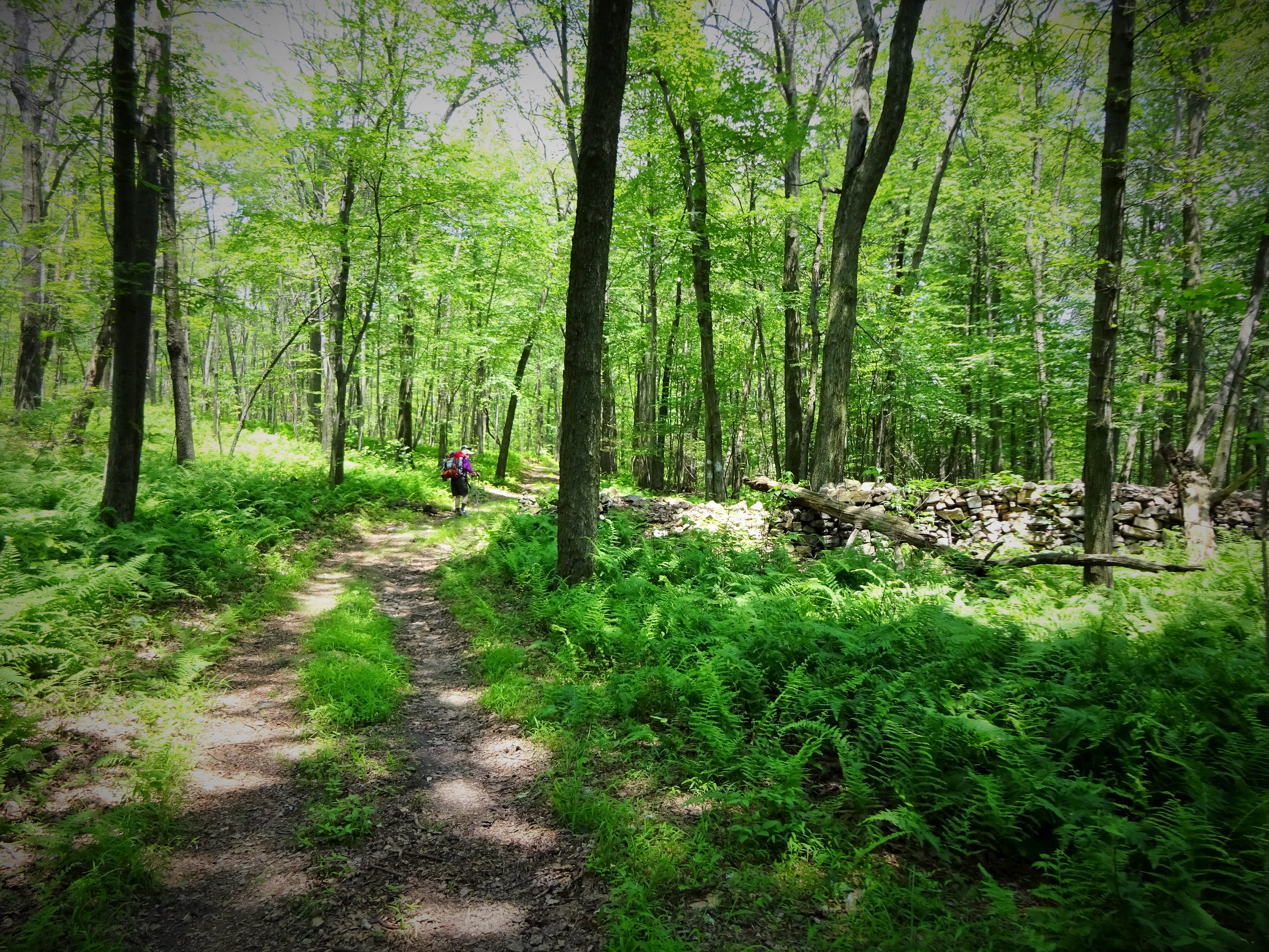
Nice trail after the shelter!
We found the turn off for New Tripoli Campsite without any drama…but when we started to go down steeply I was momentarily discouraged. Down, down, down. It seemed like forever! It was totally worth it. Great campsite with access to a very nice water source, a stream. How delightful to soak my feet in the stream after a hard day hiking. 🙂
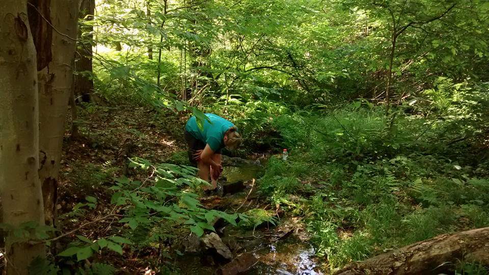
Awwwwwww…..nice and cold!
It was a long day and when I climbed into my bag I fell asleep almost immediately. Tomorrow – the big day, Knife Edge and Bake Oven Knob. *snore* ZZZZzzzzzzz
Delaware Water Gap or Bust…Hike on!


")